Folk Moot

Heritage Site in Lincolnshire North Kesteven

England

Folk Moot

Grantham Road towards Sleaford
Grantham Road towards Sleaford Credit: Ian S

Folk Moot, located in Lincolnshire, is a significant heritage site that holds great historical and cultural value. The term "moot" refers to a traditional meeting or assembly, and Folk Moot was historically a gathering place for the people of Lincolnshire to discuss and resolve important matters.

Dating back to the Anglo-Saxon era, Folk Moot served as a central meeting point for the local community. It was an open-air site where individuals would come together to discuss various issues, settle disputes, and make important decisions that affected the region as a whole. These gatherings played a crucial role in the administration and governance of the area.

The exact location of Folk Moot is believed to be in the vicinity of Lincoln's historic Bailgate area, near the Castle and Cathedral. While the original structure no longer exists, the site is commemorated by a plaque, which highlights its historical significance and provides information about its purpose.

Today, Folk Moot is recognized as an important part of Lincolnshire's heritage and serves as a reminder of the region's ancient democratic traditions. The site is often visited by history enthusiasts and locals interested in learning about the area's past. It offers a glimpse into the governance systems and social structures of the Anglo-Saxon period, showcasing the importance of community participation and decision-making in early English society.

Overall, Folk Moot in Lincolnshire stands as a significant heritage site, preserving the memory of a time when the local community would gather to discuss and shape the future of their region.

If you have any feedback on the listing, please let us know in the comments section below.
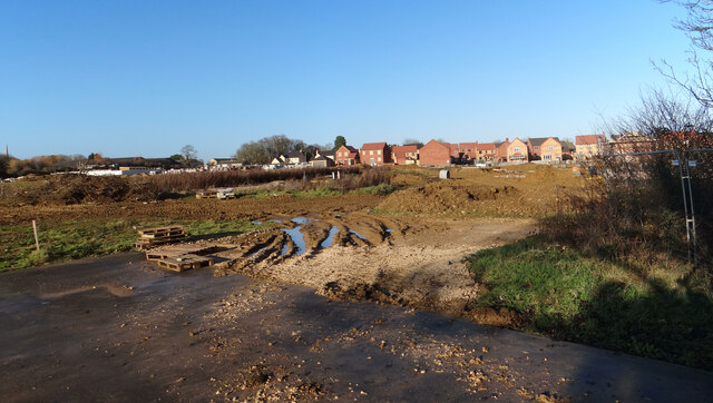
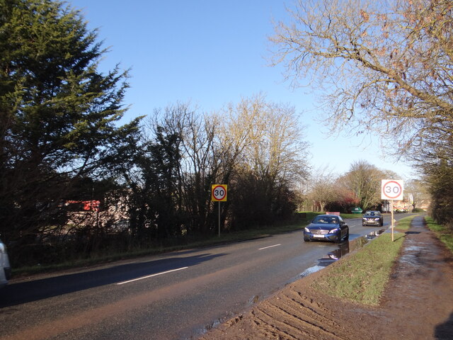
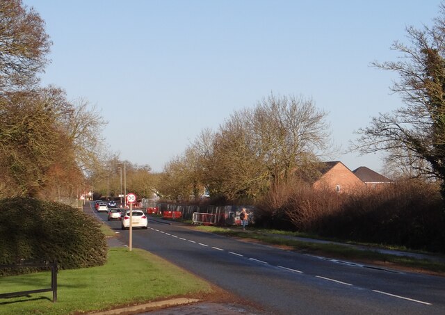
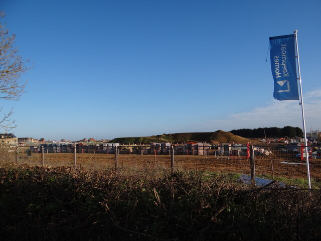
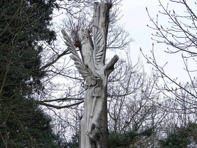
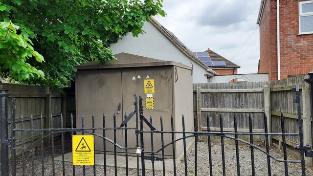
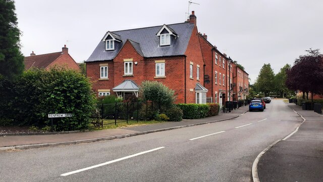
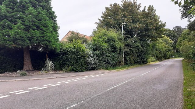
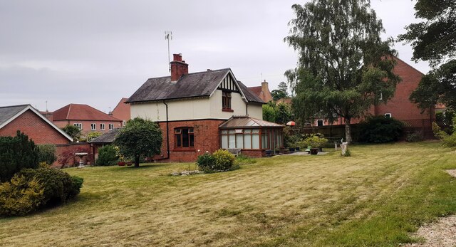
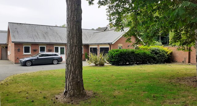
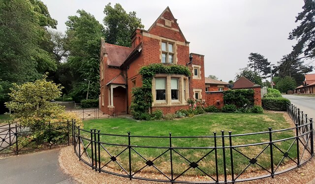
Folk Moot Images

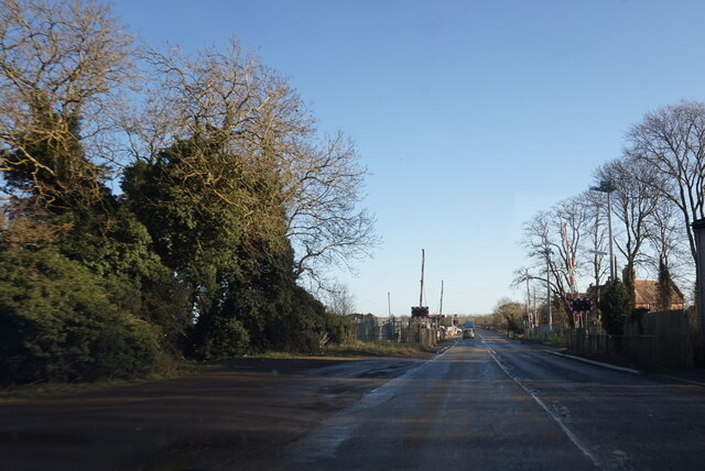
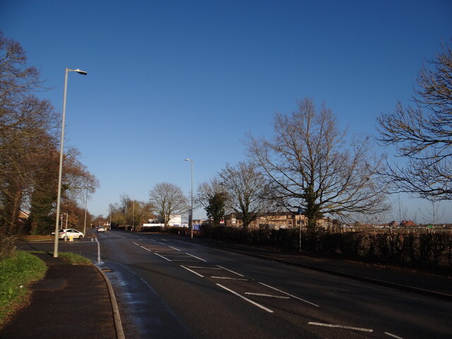
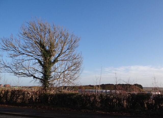
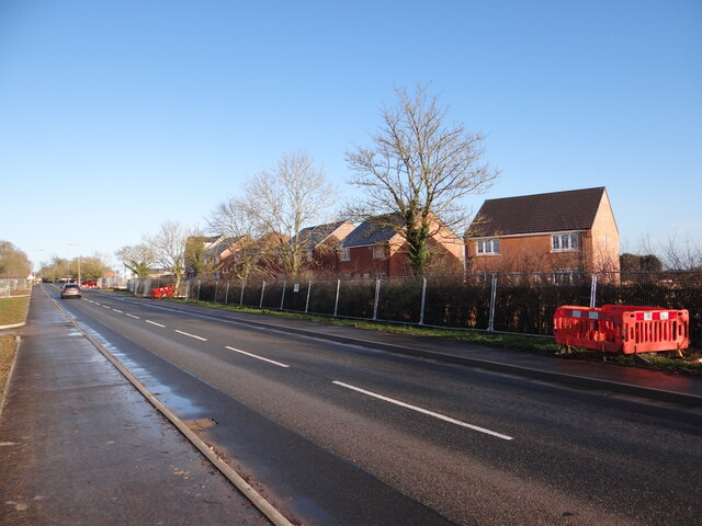
Images are sourced within 2km of 52.978/-0.428 or Grid Reference TF0543. Thanks to Geograph Open Source API. All images are credited.

Grantham Road towards Sleaford
Care Home taking shape Behind the hedge near the Town Road junction to the middle right of the photo can be seen the construction of a new Care Home.
Care Home taking shape
Behind the hedge near the Town Road junction to the middle right of the photo can be seen the construction of a new Care Home.
Going, going The slim triangular trees in the distance, reminiscent of a tree-cathedral inside is slowly being obscured from view.  Hopefully the bulldozers will spare it, unlike the poppy field that once occupied this spot <a href="https://www.geograph.org.uk/photo/1364286">TF0644 : Red Fields from Stump Cross Hill</a>.
Going, going
The slim triangular trees in the distance, reminiscent of a tree-cathedral inside is slowly being obscured from view. Hopefully the bulldozers will spare it, unlike the poppy field that once occupied this spot TF0644 : Red Fields from Stump Cross Hill.
New houses under construction at Stump Cross Hill Looking along the road in the direction of Sleaford.
New houses under construction at Stump Cross Hill
Looking along the road in the direction of Sleaford.
More new houses This development lies south of Town Road.
More new houses
This development lies south of Town Road.
Transforming Quarrington More houses grow where horses once grazed <a href="https://www.geograph.org.uk/photo/4402421">TF0544 : Grazing the sky</a>.
Transforming Quarrington
More houses grow where horses once grazed TF0544 : Grazing the sky.
Never trust your satnav Despite what your satnav tells you, this stretch of road really is a 30mph zone.  Here's the signs many drivers fail to pay any attention to as they whizz past.

It's been many years since the 30 mph zone began further towards Sleaford <a href="https://www.geograph.org.uk/photo/1624353">TF0644 : Let it snow, let it snow, let it snow!</a>.
Never trust your satnav
Despite what your satnav tells you, this stretch of road really is a 30mph zone. Here's the signs many drivers fail to pay any attention to as they whizz past. It's been many years since the 30 mph zone began further towards Sleaford TF0644 : Let it snow, let it snow, let it snow!.
The changing face of London Road / Stump Cross Hill The 60mph limit reduced to 30mph heralded the delayed construction of two large residential developments here, now growing faster than mortgage interest rates!
The changing face of London Road / Stump Cross Hill
The 60mph limit reduced to 30mph heralded the delayed construction of two large residential developments here, now growing faster than mortgage interest rates!
Good topsoil There's a good few tons of topsoil in "tham thar hills".  As more and more houses complete, this massive pile of soil will shrink as it is conveyed to cover the compacted ground below new gardens, which in time will reveal untold treasures of brick, rubble, plastic bags, fag ends and other delights for the gardener of tomorrow.
Good topsoil
There's a good few tons of topsoil in "tham thar hills". As more and more houses complete, this massive pile of soil will shrink as it is conveyed to cover the compacted ground below new gardens, which in time will reveal untold treasures of brick, rubble, plastic bags, fag ends and other delights for the gardener of tomorrow.
Dryad in Goodson's / Godson's Holt by Jason Thompson Sadly no longer with us, this sculpture was created c.1996 on a dying tree, which sprouted branches one last time before dying along with the tree nymph depicted.  See a close up here <a href="https://www.geograph.org.uk/photo/7377359">TF0644 : Close up of Dryad in London Road</a>.

This was one of a number of installations initiated by the local Council's New Life Scheme.  

The site is managed by the Woodland Trust <span class="nowrap"><a title="https://www.woodlandtrust.org.uk/visiting-woods/woods/godsons-holt/" rel="nofollow ugc noopener" href="https://www.woodlandtrust.org.uk/visiting-woods/woods/godsons-holt/">Link</a><img style="margin-left:2px;" alt="External link" title="External link - shift click to open in new window" src="https://s1.geograph.org.uk/img/external.png" width="10" height="10"/></span>.
Dryad in Goodson's / Godson's Holt by Jason Thompson
Sadly no longer with us, this sculpture was created c.1996 on a dying tree, which sprouted branches one last time before dying along with the tree nymph depicted. See a close up here TF0644 : Close up of Dryad in London Road. This was one of a number of installations initiated by the local Council's New Life Scheme. The site is managed by the Woodland Trust LinkExternal link.
Close up of Dryad in London Road See <a href="https://www.geograph.org.uk/photo/7377348">TF0644 : Dryad in Goodson's / Godson's Holt by Jason Thompson</a> for more information and a long shot.
Close up of Dryad in London Road
See TF0644 : Dryad in Goodson's / Godson's Holt by Jason Thompson for more information and a long shot.
Electricity substation on north side of Grantham Lane opposite Northfield Road Ordnance Survey documents indicate that a benchmark was levelled at 29.780m above Newlyn Datum in 1955 on a telephone exchange, the rendered building behind the substation
Electricity substation on north side of Grantham Lane opposite Northfield Road
Ordnance Survey documents indicate that a benchmark was levelled at 29.780m above Newlyn Datum in 1955 on a telephone exchange, the rendered building behind the substation
Looking northwards along Renfrew Drive from Willoughby Road junction
Looking east along Willoughby Road at Renfrew Drive junction Ordnance Survey documents indicate that a benchmark levelled at 25.759m above Newlyn Datum was verified in 1969 on a gatepost  on the left hand side of the road about 10m from the junction
Looking east along Willoughby Road at Renfrew Drive junction
Ordnance Survey documents indicate that a benchmark levelled at 25.759m above Newlyn Datum was verified in 1969 on a gatepost on the left hand side of the road about 10m from the junction
Detached house with conservatory on north side of Willoughby Road Ordnance Survey documents indicate that a benchmark levelled at 25.330m above Newlyn Datum was verified in 1969 on a farm building (Home Farm) previously on this site, but now demolished
Detached house with conservatory on north side of Willoughby Road
Ordnance Survey documents indicate that a benchmark levelled at 25.330m above Newlyn Datum was verified in 1969 on a farm building (Home Farm) previously on this site, but now demolished
Bungalow on east side of Willoughby Road
Benchmark on West Lodge on east side of Willoughby Road Ordnance Survey cut mark benchmark levelled at 21.930m above Newlyn Datum verified 1969
Benchmark on West Lodge on east side of Willoughby Road
Ordnance Survey cut mark benchmark levelled at 21.930m above Newlyn Datum verified 1969
West Lodge at Kinross Road / Willoughby Road junction There is an Ordnance Survey benchmark <a href="https://www.geograph.org.uk/photo/7530668">TF0343 : Benchmark on West Lodge on east side of Willoughby Road</a>  on the SW corner of the lodge
West Lodge at Kinross Road / Willoughby Road junction
There is an Ordnance Survey benchmark TF0343 : Benchmark on West Lodge on east side of Willoughby Road on the SW corner of the lodge
Show me another place!

Folk Moot is located at Grid Ref: TF0543 (Lat: 52.978, Lng: -0.428)

Division: Parts of Kesteven

Administrative County: Lincolnshire

District: North Kesteven

Police Authority: Lincolnshire

What 3 Words

///shiny.afford.shrub. Near Sleaford, Lincolnshire

Related Wikis

Silk Willoughby

Silk Willoughby is a village and civil parish in the North Kesteven district of Lincolnshire, England. The population of the civil parish at the 2011 census...

Quarrington, Lincolnshire

Quarrington is a village and former civil parish, now part of the civil parish of Sleaford, in the North Kesteven district of Lincolnshire, England. The...

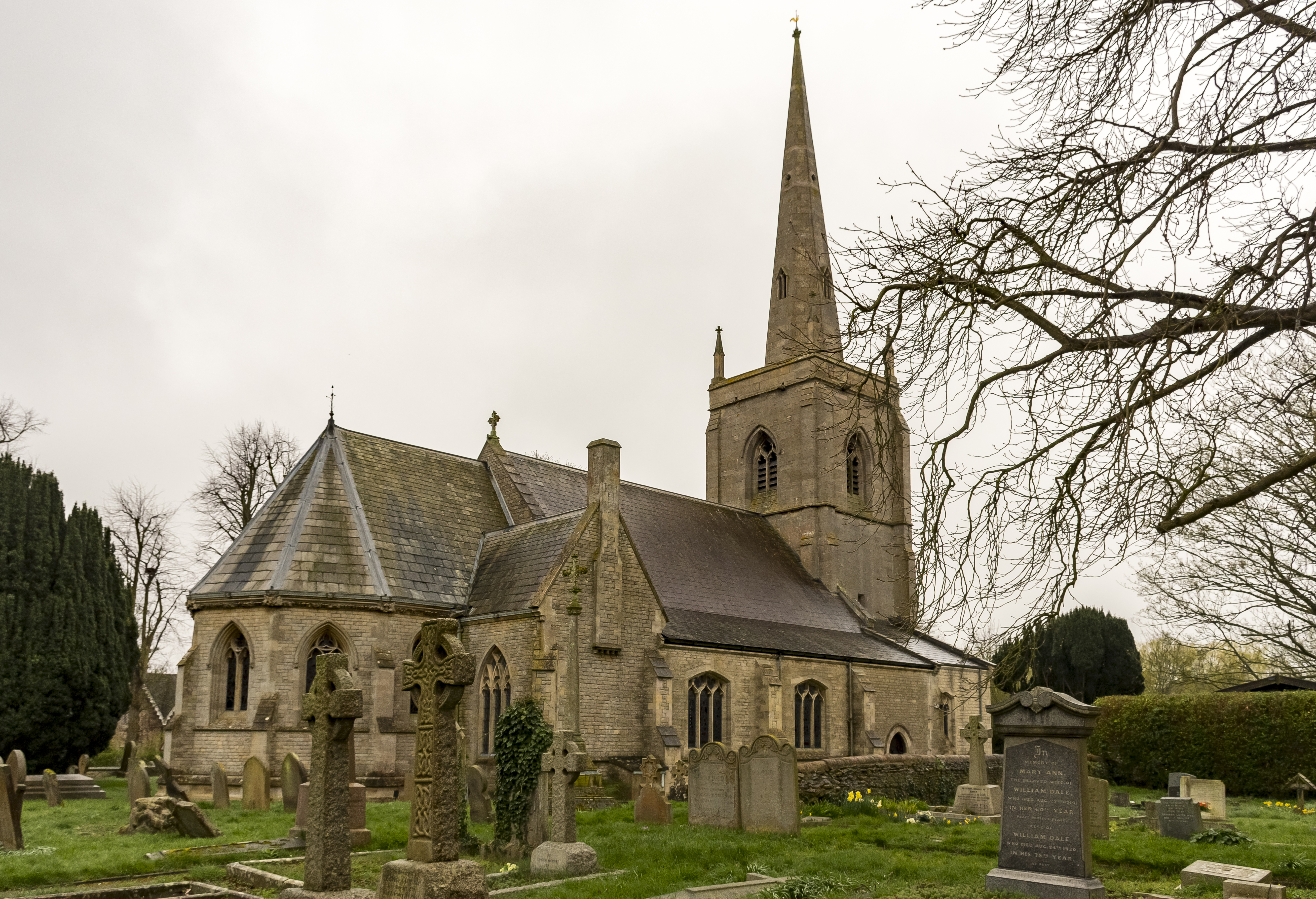
St Botolph's Church, Quarrington

St Botolph's Church is an Anglican church in Quarrington in Lincolnshire, England. The area has been settled since at least the Anglo-Saxon period, and...

Rauceby Hospital

Rauceby Hospital, originally called Kesteven County Asylum, is a now-defunct mental institution in the parish of Quarrington, Lincolnshire, England. Originally...

Rauceby railway station

Rauceby railway station is a station near the town of Sleaford, Lincolnshire, England, lying close to the western border of the Parish of Old Sleaford...

London Road, Sleaford

London Road is a cricket ground in Sleaford, Lincolnshire. It is the home of Sleaford Cricket Club and an occasional venue for Lincolnshire County Cricket...

Sleaford

Sleaford is a market town and civil parish in the North Kesteven district of Lincolnshire, England. Centred on the former parish of New Sleaford, the modern...

Sleaford Castle

Sleaford Castle is a medieval castle in Sleaford, Lincolnshire, England. Built by the Bishop of Lincoln in the early 1120s, it was habitable as late as...

Nearby Amenities

Located within 500m of 52.978,-0.428
Home Farm
Place: farm
Source: Bing
Lat/Long: 52.9742802/-0.4284633
The data included in this document is from www.openstreetmap.org. The data is made available under ODbL.

Have you been to Folk Moot?

Leave your review of Folk Moot below (or comments, questions and feedback).