Eliock
Heritage Site in Dumfriesshire
Scotland
Eliock
Eliock is a small village located in Dumfriesshire, Scotland. It is renowned for its rich historical heritage and is considered a significant heritage site in the region. The village is nestled amidst picturesque countryside, offering visitors a glimpse into Scotland's rural charm.
One of the key attractions in Eliock is the Eliock House, a grand mansion that dates back to the 18th century. The house is an excellent example of Georgian architecture, with its elegant façade and well-preserved interiors. It provides an insight into the lifestyle of the upper class during that era.
Another notable feature of Eliock is its ancient church. The church, dedicated to St. John the Evangelist, dates back to the 12th century and showcases stunning medieval architecture. It is adorned with intricate stone carvings and stained glass windows, offering visitors a glimpse into the region's religious history.
The village also boasts a well-preserved stone bridge, known as Eliock Bridge, which spans over the River Annan. Built in the 17th century, the bridge is an important historical landmark and is still in use today.
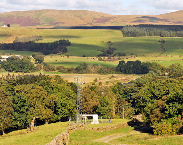
Eliock is surrounded by beautiful countryside, making it an ideal destination for nature lovers and outdoor enthusiasts. Visitors can explore the surrounding trails and enjoy the breathtaking views of the rolling hills and meandering rivers.
Overall, Eliock, Dumfriesshire, is a charming village that combines rich historical heritage with natural beauty. It serves as a remarkable heritage site, allowing visitors to immerse themselves in Scotland's past while enjoying the tranquility of the countryside.
If you have any feedback on the listing, please let us know in the comments section below.
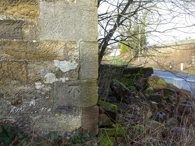
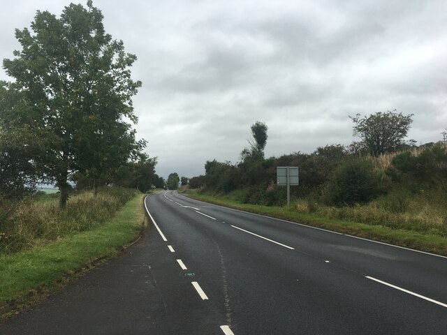
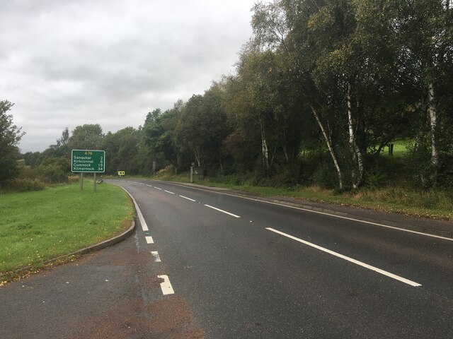
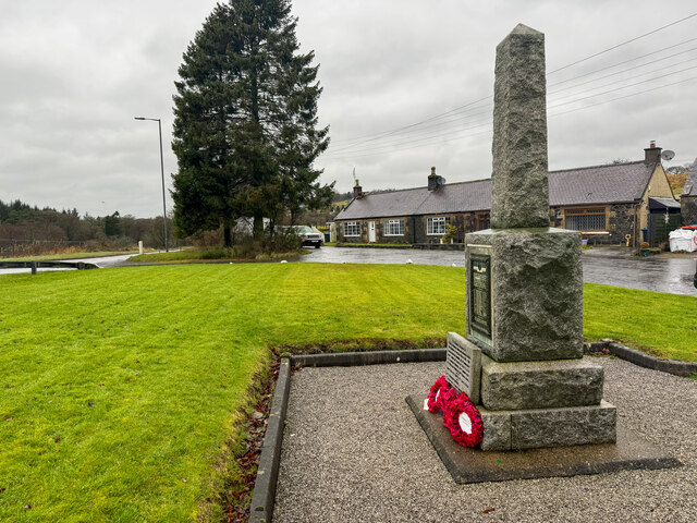
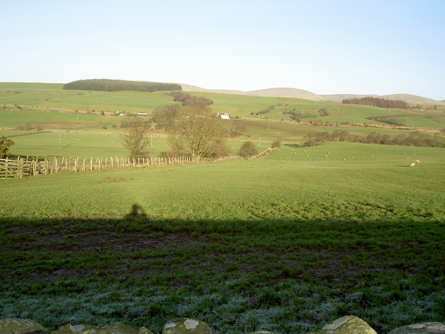
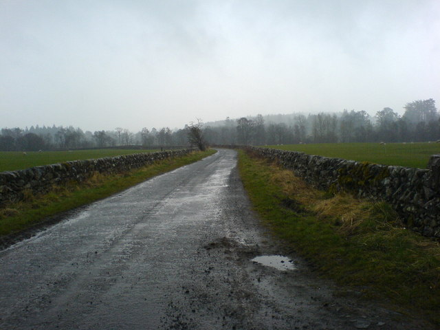
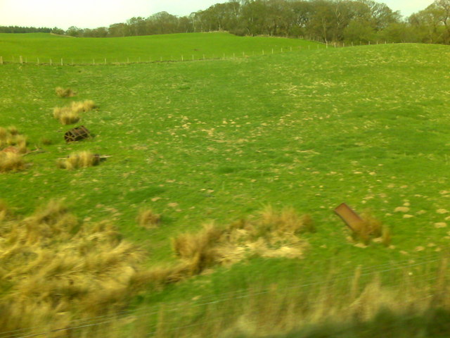
Eliock Images
Images are sourced within 2km of 55.347/-3.9 or Grid Reference NS7907. Thanks to Geograph Open Source API. All images are credited.


Eliock is located at Grid Ref: NS7907 (Lat: 55.347, Lng: -3.9)
Unitary Authority: Dumfries and Galloway
Police Authority: Dumfries and Galloway
What 3 Words
///absorbing.paramedic.soil. Near Sanquhar, Dumfries & Galloway
Nearby Locations
Related Wikis

Mennock
Mennock is a small village or hamlet which lies 2 miles (3.2 km) south-east of Sanquhar on the A76, in Dumfriesshire, in the District Council Region of...

Mennock Lye Goods Depot
Mennock Lye Goods Depot or Mennock Siding was a railway freight facility located off the A76 in the hamlet of Mennock that lies circa two miles (three...

Sanquhar Castle
Sanquhar Castle, now a ruin, was built in the 13th century; the ruins are situated north east of Dumfries overlooking the River Nith. Situated on the southern...

Sanquhar
Sanquhar (Scots: Sanchar, Scottish Gaelic: Seanchair) is a village on the River Nith in Dumfries and Galloway, Scotland, north of Thornhill and west of...
Nearby Amenities
Located within 500m of 55.347,-3.9Have you been to Eliock?
Leave your review of Eliock below (or comments, questions and feedback).