Eastern Moors

Heritage Site in Derbyshire

England

Eastern Moors

Path on Greaves's Piece Approaching the top of the moor.
Path on Greaves's Piece Credit: Bill Boaden

Eastern Moors is a designated heritage site located in Derbyshire, England. It is a vast expanse of moorland covering approximately 20 square kilometers, situated to the east of the Peak District National Park. The site is known for its outstanding natural beauty and is a popular destination for outdoor enthusiasts and nature lovers.

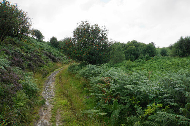
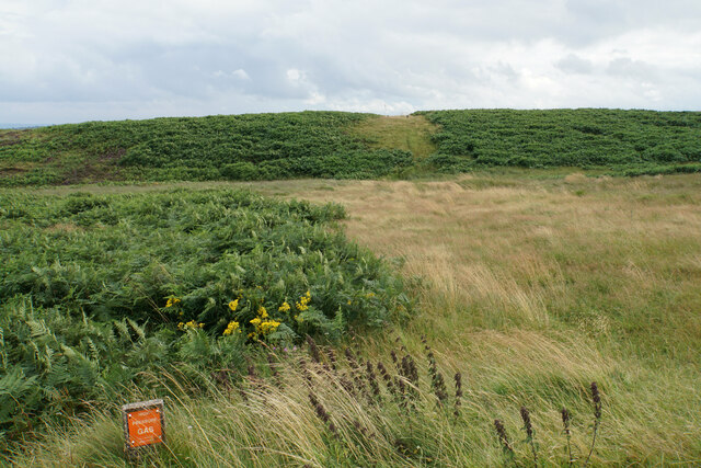
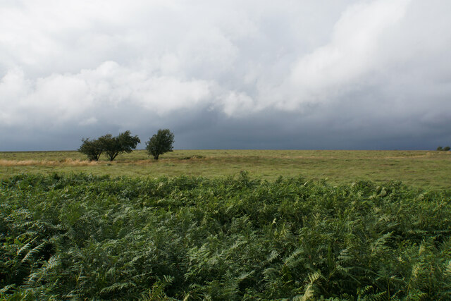
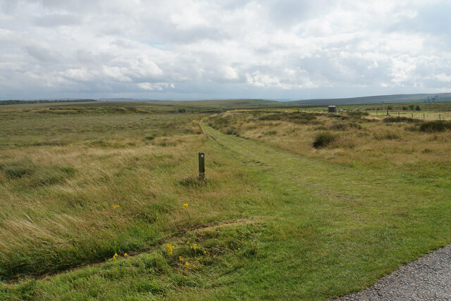
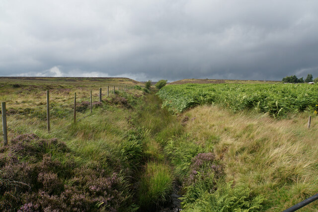
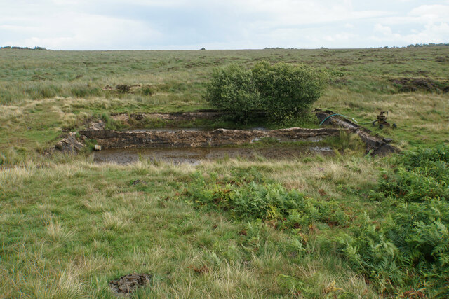
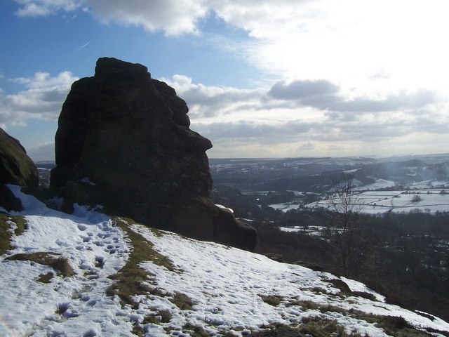
Eastern Moors is characterized by its rolling hills, heather-covered moorlands, and picturesque valleys. The landscape is dotted with rocky outcrops and streams, creating a diverse and stunning scenery. The site is home to a rich variety of flora and fauna, including several rare and protected species.

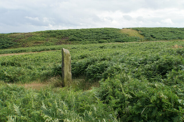
The area's history can be traced back to prehistoric times, with evidence of human activity dating back thousands of years. Ancient burial mounds and stone circles can still be found in the area, offering a glimpse into the region's past.

Today, Eastern Moors is managed by a partnership between the National Trust and the RSPB (Royal Society for the Protection of Birds). The site offers numerous walking trails and nature reserves, allowing visitors to explore and appreciate the natural wonders of the moorland.

In addition to its natural beauty, Eastern Moors also has cultural significance. It has inspired artists and writers throughout the years, and its tranquil atmosphere provides a sense of serenity and escape from the hustle and bustle of modern life.

Overall, Eastern Moors is a cherished heritage site that offers a unique blend of natural beauty, historical significance, and recreational opportunities, making it a must-visit destination for those seeking to connect with nature and immerse themselves in the rich history of Derbyshire.

If you have any feedback on the listing, please let us know in the comments section below.

Eastern Moors Images

Images are sourced within 2km of 53.286/-1.593 or Grid Reference SK2776. Thanks to Geograph Open Source API. All images are credited.

Path on Greaves's Piece Approaching the top of the moor.
Path on Greaves's Piece
Approaching the top of the moor.
Guide stoop on Big Moor On this face is a pointer to the right but the words are not possible to read. It refers to something Way.
Guide stoop on Big Moor
On this face is a pointer to the right but the words are not possible to read. It refers to something Way.
Route of a gas pipeline This one has made a noticeable mark across the moor.
Route of a gas pipeline
This one has made a noticeable mark across the moor.
Moorland on Big Moor Passing rain showers to the north make this view more stark.
Moorland on Big Moor
Passing rain showers to the north make this view more stark.
Track to the Barbrook valley Here it leaves the former waterworks service road for Barbrook Reservoir which is now decommissioned.
Track to the Barbrook valley
Here it leaves the former waterworks service road for Barbrook Reservoir which is now decommissioned.
Bar Brook The channel leaving the former Barbrook Reservoir. You can see the dam wall ahead with the v-shaped cut in it when it was decommissioned.
Bar Brook
The channel leaving the former Barbrook Reservoir. You can see the dam wall ahead with the v-shaped cut in it when it was decommissioned.
Tanks by Bar Brook These may have been silt traps below the former Barbrook Reservoir.
Tanks by Bar Brook
These may have been silt traps below the former Barbrook Reservoir.
Track in the Barbrook valley Bar Brook is beginning to cut a valley into Big Moor.
Track in the Barbrook valley
Bar Brook is beginning to cut a valley into Big Moor.
Bar Brook Looking upstream in the valley above Little Barbrook Reservoir.
Bar Brook
Looking upstream in the valley above Little Barbrook Reservoir.
Little Barbrook Reservoir A serene setting on Big Moor. The dam and outflow are ahead.
Little Barbrook Reservoir
A serene setting on Big Moor. The dam and outflow are ahead.
Track by Bar Brook Looking up the valley. Little Barbrook Reservoir is behind the trees ahead.
Track by Bar Brook
Looking up the valley. Little Barbrook Reservoir is behind the trees ahead.
Companion stone at Deadshaw Sick Part of a series of 12 artistic stones placed in 2010, as companions to nearby guide stoops. Bar Brook passes below this site.
Companion stone at Deadshaw Sick
Part of a series of 12 artistic stones placed in 2010, as companions to nearby guide stoops. Bar Brook passes below this site.
Cairn near Barbrook 1 Stone Circle Slightly further up the hill from the stone circle, and its original purpose is not known.
Cairn near Barbrook 1 Stone Circle
Slightly further up the hill from the stone circle, and its original purpose is not known.
Barbrook 1 Stone Circle One of numerous neolithic remains on Big Moor. Bar Brook descends towards Baslow below.
Barbrook 1 Stone Circle
One of numerous neolithic remains on Big Moor. Bar Brook descends towards Baslow below.
Track approaching the A621 The track has come from the Barbrook valley. There is limited parking available by the road here. Ramsley Moor rises moderately behind.
Track approaching the A621
The track has come from the Barbrook valley. There is limited parking available by the road here. Ramsley Moor rises moderately behind.
Moorland below Ramsley Moor Looking roughly down the route of Bar Brook towards Baslow, though the trees blot out most of the view of the valley.
Moorland below Ramsley Moor
Looking roughly down the route of Bar Brook towards Baslow, though the trees blot out most of the view of the valley.
Track to the Barbrook valley Leaving the A621 to head up the valley.
Track to the Barbrook valley
Leaving the A621 to head up the valley.
Companion Stone on White Edge One of 12 stones placed close to ancient guide stoops in the Peak District in an arts project.
Companion Stone on White Edge
One of 12 stones placed close to ancient guide stoops in the Peak District in an arts project.
Show me another place!

Eastern Moors is located at Grid Ref: SK2776 (Lat: 53.286, Lng: -1.593)

What 3 Words

///helpfully.unlocking.nervy. Near Baslow, Derbyshire

Nearby Locations

Eastern Moors

Related Wikis

Barbrook One

Barbrook One (grid reference SK27857558) is a stone circle on Ramsley Moor in the Peak District. == Description == "Barbrook No. 1" is an embanked stone...

Curbar Edge

Curbar Edge is a gritstone moorland escarpment above the village of Curbar, in Derbyshire, England and close to the villages of Baslow, Calver, and Froggatt...

Owler Bar

Owler Bar is a small area of settlement and locally important road junction in the parish of Holmesfield, Derbyshire, England. It lies at an altitude of...

Froggatt Edge

Froggatt Edge is a gritstone escarpment in the Dark Peak area of the Peak District National Park, in Derbyshire, England, close to the villages of Froggatt...

Have you been to Eastern Moors?

Leave your review of Eastern Moors below (or comments, questions and feedback).