Dùn Chroisprig
Heritage Site in Argyllshire
Scotland
Dùn Chroisprig

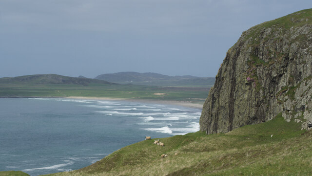
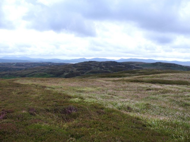
Dùn Chroisprig is a historical site located in Argyllshire, Scotland. It is a well-preserved fortification that holds immense historical and cultural significance. The site is situated on a hill overlooking Loch Crinan, providing breathtaking views of the surrounding landscape.
The origins of Dùn Chroisprig date back to the Iron Age, making it an ancient heritage site. It is believed to have been constructed around 2,000 years ago, serving as a defensive stronghold for the local community. The fortification consists of a circular stone wall, which encloses an area of approximately 40 meters in diameter. The wall is around 3 meters thick and is estimated to have reached a height of 2 meters in its prime.
Today, visitors can explore the ruins of Dùn Chroisprig and get a glimpse into the past. The site offers a unique insight into the architectural techniques of the Iron Age, with its well-preserved stone walls and structures. The strategic location of the fortification, overlooking the loch, indicates its defensive purpose and highlights the mastery of the ancient inhabitants in choosing fortified positions.
Dùn Chroisprig is not only a significant historical site but also a place of natural beauty. Its hilltop location provides panoramic views of Loch Crinan and the surrounding countryside, attracting nature enthusiasts and history lovers alike. The site offers a serene and peaceful atmosphere, perfect for those seeking tranquility and a deeper connection with Scotland's rich cultural heritage.
If you have any feedback on the listing, please let us know in the comments section below.
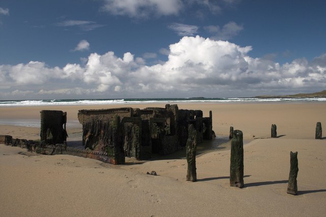
Dùn Chroisprig Images
Images are sourced within 2km of 55.767/-6.457 or Grid Reference NR2061. Thanks to Geograph Open Source API. All images are credited.


Dùn Chroisprig is located at Grid Ref: NR2061 (Lat: 55.767, Lng: -6.457)
Unitary Authority: Argyll and Bute
Police Authority: Argyll and West Dunbartonshire
What 3 Words
///torches.celebrate.centrally. Near Port Charlotte, Argyll & Bute
Related Wikis

RAF Kilchiaran
RAF Kilchiaran was a Royal Air Force radar station situated on the Isle of Islay in Scotland. It was originally active from 1940-1945. In 1954 the base...

Kilchoman
Kilchoman ( kil-(K)HOM-ən; Scottish Gaelic: Cill Chomain [kʲʰiːʎ ˈxɔmɛɲ]) is a small settlement and large parish on the Scottish island of Islay, within...

Kilchoman distillery
Kilchoman distillery (pronounced Kil-ho-man) is a distillery that produces single malt Scotch whisky on Islay, an island of the Inner Hebrides. Kilchoman...

Rinns of Islay
The Rinns of Islay (Scottish Gaelic: Na Roinn Ìleach; alternative English spelling Rhinns of Islay) is an area on the west of the island of Islay in the...

HMS Graph
HMS Graph (pennant number P715) was a German Type VIIC U-boat that the British Royal Navy captured during World War II. Commissioned as U-570 in Nazi Germany...

Loch Gorm Castle
Loch Gorm Castle is a ruined castle located on Eilean Mòr (big island) on Loch Gorm, Islay, Scotland. It was once a stronghold of Clan Macdonald. The castle...

A847 road
The A847 road is one of the two principal roads of Islay in the Inner Hebrides off the west coast of mainland Scotland. It connects Bridgend, at a junction...

Port Charlotte distillery
Port Charlotte distillery (also known as Rhins distillery and Lochindaal distillery) was a Scotch whisky distillery on the island of Islay, off the west...
Nearby Amenities
Located within 500m of 55.767,-6.457Have you been to Dùn Chroisprig?
Leave your review of Dùn Chroisprig below (or comments, questions and feedback).