Dùn Cholla

Heritage Site in Argyllshire

Scotland

Dùn Cholla

Dunes south of Port a' Chapuill, Colonsay Having turned Colonsay's SW corner you head on fine white sand towards the Strand.  This can be a warm place in northerly winds.
Dunes south of Port a' Chapuill, Colonsay Credit: Julian Paren

Dùn Cholla is a historic site located in Argyllshire, Scotland. This ancient fort is situated on a rocky outcrop overlooking the Sound of Jura, offering stunning views of the surrounding landscape. The site is believed to have been inhabited since the Iron Age, with evidence of settlements dating back over 2,000 years.

The fort consists of a series of stone walls and structures, including a well-preserved circular stone tower. The site also features a number of underground chambers and passageways, some of which are thought to have been used for storage or as living quarters.

Dùn Cholla is of significant historical and archaeological importance, providing valuable insights into the lives and cultures of the people who once inhabited the area. The site has been designated as a scheduled ancient monument, ensuring its protection and preservation for future generations to enjoy and learn from.

Visitors to Dùn Cholla can explore the site's ruins and take in the breathtaking views of the surrounding countryside. Interpretive signs and information boards provide further context and background on the fort's history and significance.

If you have any feedback on the listing, please let us know in the comments section below.
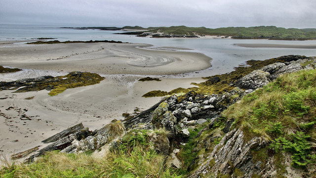
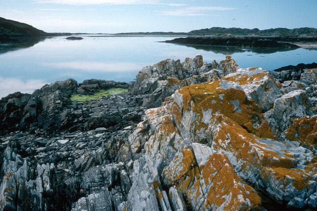
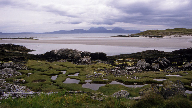
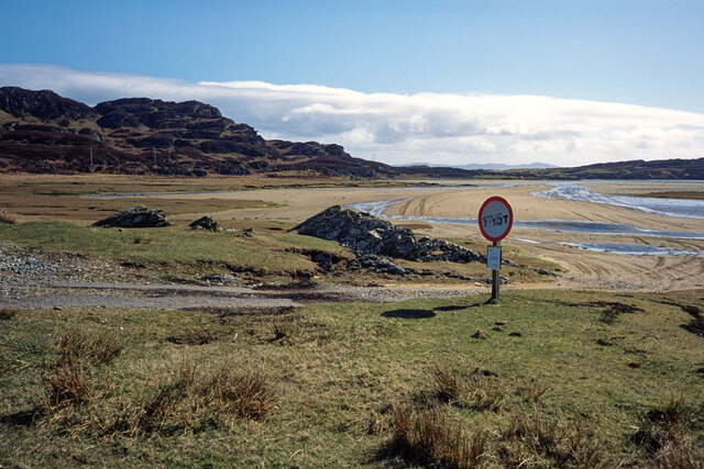
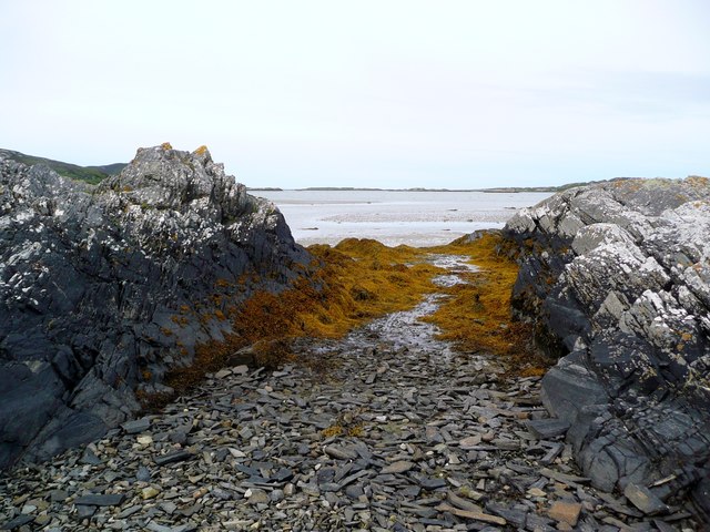
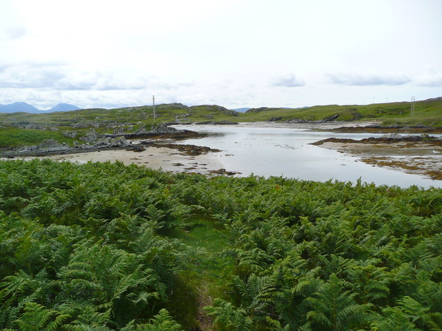
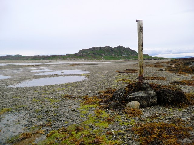
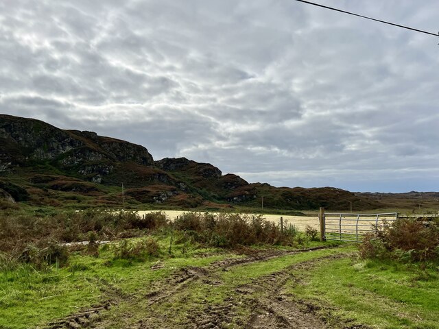
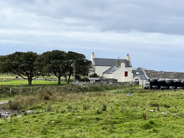
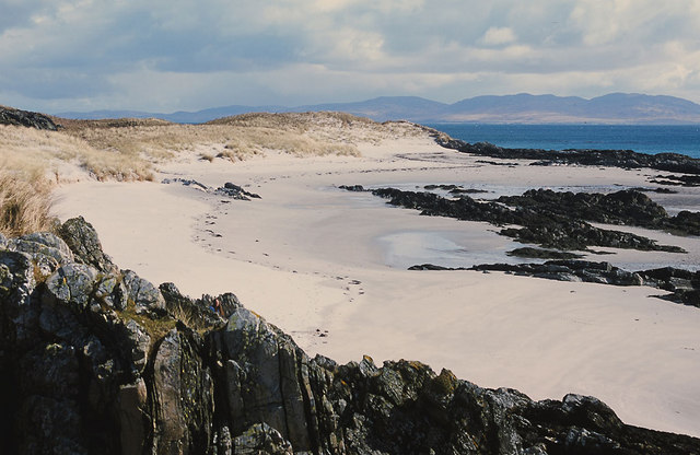
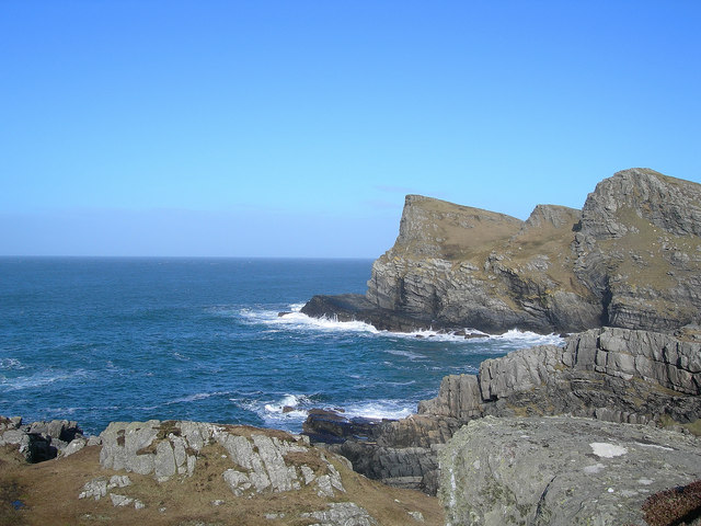
Dùn Cholla Images

Images are sourced within 2km of 56.045/-6.215 or Grid Reference NR3791. Thanks to Geograph Open Source API. All images are credited.

Dunes south of Port a' Chapuill, Colonsay Having turned Colonsay's SW corner you head on fine white sand towards the Strand.  This can be a warm place in northerly winds.
Dunes south of Port a' Chapuill, Colonsay
Having turned Colonsay's SW corner you head on fine white sand towards the Strand. This can be a warm place in northerly winds.
Dunes at south-east corner of Colonsay Looking over to Jura
Dunes at south-east corner of Colonsay
Looking over to Jura
Coastline below Beinn Eibhne, Colonsay A cloudy evening after rain but still an exciting place to be.
Coastline below Beinn Eibhne, Colonsay
A cloudy evening after rain but still an exciting place to be.
The Strand between Colonsay and Oronsay After low tide the Strand fills with water and the oysters are happy while those on Oronsay must await the next low water to cross back to the shop or their ferry.  Yellow lichens are a feature of Colonsay.
The Strand between Colonsay and Oronsay
After low tide the Strand fills with water and the oysters are happy while those on Oronsay must await the next low water to cross back to the shop or their ferry. Yellow lichens are a feature of Colonsay.
The East end of the Strand The Strand is the area of tidal sands separating Colonsay and Oronsay.
Looking SE from Rubha Bagh nan Capull, Colonsay. The sand dunes on the right are Rubha Ban, Oronsay.
Jura is in the distance.
The East end of the Strand
The Strand is the area of tidal sands separating Colonsay and Oronsay. Looking SE from Rubha Bagh nan Capull, Colonsay. The sand dunes on the right are Rubha Ban, Oronsay. Jura is in the distance.
The end of the public road at The Strand, Colonsay The temporary notice attached to the road sign is from the RSPB informing would-be visitors that Oronsay was closed due to the Foot and Mouth epidemic.  Colonsay was open to visitors as long as cars were washed in Oban before catching the ferry and all who arrived on Colonsay had to walk through a detergent bath.  The Strand can be crossed on foot and by landrover at low tide states.
The end of the public road at The Strand, Colonsay
The temporary notice attached to the road sign is from the RSPB informing would-be visitors that Oronsay was closed due to the Foot and Mouth epidemic. Colonsay was open to visitors as long as cars were washed in Oban before catching the ferry and all who arrived on Colonsay had to walk through a detergent bath. The Strand can be crossed on foot and by landrover at low tide states.
The Colonsay Post Bus en route to Oronsay The bus crosses the Strand near low tide and can take passengers as well.
The Colonsay Post Bus en route to Oronsay
The bus crosses the Strand near low tide and can take passengers as well.
Oyster Farm on Rubha Bagh nan Capull It looks disused but all the machinery was well oiled and covered up.
Oyster Farm on Rubha Bagh nan Capull
It looks disused but all the machinery was well oiled and covered up.
Rock formations south-east corner of Colonsay Looking across to the very eastern tip of Oronsay
Rock formations south-east corner of Colonsay
Looking across to the very eastern tip of Oronsay
Tidal rocks at Rubha Bagh nan Capull The strand beyond, just drying about a couple of hours before low tide.  Having arrived a little early for the crossing to Oronsay from Colonsay, we waited here for the sands to dry and permit us across - but we still got wet feet!
Tidal rocks at Rubha Bagh nan Capull
The strand beyond, just drying about a couple of hours before low tide. Having arrived a little early for the crossing to Oronsay from Colonsay, we waited here for the sands to dry and permit us across - but we still got wet feet!
Bagh nan Capull Looking over to Oronsay.
Bagh nan Capull
Looking over to Oronsay.
Marker post for the route across The Strand Approaching Oronsay from The Strand, this is the 'port-hand' marker post for the track onto Oronsay itself;  it has a red refelctor just showing at the top for use at night or in poor visibility.
Marker post for the route across The Strand
Approaching Oronsay from The Strand, this is the 'port-hand' marker post for the track onto Oronsay itself; it has a red refelctor just showing at the top for use at night or in poor visibility.
Fields in the south of Colonsay From the B8086 road.
Fields in the south of Colonsay
From the B8086 road.
Machrins farmhouse From the B8086 road.
Machrins farmhouse
From the B8086 road.
The beach of Tràigh Bàn on the east coast of Colonsay This beach is usually quiet, because it is often neglected in favour of other beaches. The Paps of Jura lie on the skyline.  The beach is not named on OS maps but the local map calls it Tràigh Bàn.
The beach of Tràigh Bàn on the east coast of Colonsay
This beach is usually quiet, because it is often neglected in favour of other beaches. The Paps of Jura lie on the skyline. The beach is not named on OS maps but the local map calls it Tràigh Bàn.
Sand dunes south of Port a' Chapuill Perhaps this is the most beautiful corner of Colonsay.  It comes into its own in a northerly wind when the dunes can provide effective perfect wind protection.  The Paps of Jura dominate the skyline eastwards.
Sand dunes south of Port a' Chapuill
Perhaps this is the most beautiful corner of Colonsay. It comes into its own in a northerly wind when the dunes can provide effective perfect wind protection. The Paps of Jura dominate the skyline eastwards.
Unspoilt white beach of Colonsay Beaches do not come much finer than this.
Unspoilt white beach of Colonsay
Beaches do not come much finer than this.
Poll Gorm from the Strand
Show me another place!

Dùn Cholla is located at Grid Ref: NR3791 (Lat: 56.045, Lng: -6.215)

Unitary Authority: Argyll and Bute

Police Authority: Argyll and West Dunbartonshire

What 3 Words

///stocked.slugs.removing. Near Scalasaig, Argyll & Bute

Nearby Locations

Dùn Cholla Beinn Arnicil

Related Wikis

Dùn Cholla

Dùn Cholla is a hill fort located on the Inner Hebridean island of Colonsay, Scotland. The site is located at grid reference NR37759150.According to tradition...

Colonsay Airport

Colonsay Airport (Scottish Gaelic: Port-adhair Colbhasaigh) (IATA: CSA, ICAO: EGEY) is located on the island of Colonsay, Argyll and Bute, Scotland. Located...

Colonsay Group

The Colonsay Group is an estimated 5,000 m thick sequence of mildly metamorphosed Neoproterozoic sedimentary rocks that outcrop on the islands of Colonsay...

Colonsay

Colonsay (; Scottish Gaelic: Colbhasa; Scots: Colonsay) is an island in the Inner Hebrides of Scotland, located north of Islay and south of Mull. The ancestral...

Nearby Amenities

Located within 500m of 56.045,-6.215
Ele: 83
Natural: peak
Lat/Long: 56.048077/-6.2181752
Power: pole
Lat/Long: 56.0409812/-6.2179237
Power: pole
Lat/Long: 56.0419765/-6.2180194
Power: pole
Lat/Long: 56.0419978/-6.2189466
Power: pole
Lat/Long: 56.0420616/-6.2201314
Power: pole
Lat/Long: 56.0425306/-6.2178122
Power: pole
Lat/Long: 56.0430085/-6.2175797
Power: pole
Lat/Long: 56.0437065/-6.2170327
Power: pole
Lat/Long: 56.0442682/-6.2165615
Power: pole
Lat/Long: 56.0449265/-6.2160838
Power: pole
Lat/Long: 56.045438/-6.21561
Power: pole
Lat/Long: 56.0465745/-6.2135592
Power: pole
Lat/Long: 56.046812/-6.2118246
Power: pole
Lat/Long: 56.0467919/-6.2085362
Power: pole
Lat/Long: 56.0416251/-6.2181871
Power: pole
Lat/Long: 56.0465238/-6.2076664
Power: pole
Lat/Long: 56.0467971/-6.2093934
Power: pole
Lat/Long: 56.0468057/-6.2107866
Power: pole
Lat/Long: 56.0458583/-6.2148516
Power: pole
Lat/Long: 56.0461054/-6.2144057
The data included in this document is from www.openstreetmap.org. The data is made available under ODbL.

Have you been to Dùn Cholla?

Leave your review of Dùn Cholla below (or comments, questions and feedback).