Dùn Ardtreck

Heritage Site in Inverness-shire

Scotland

Dùn Ardtreck

Fiskavaig Bay A cloudless sky and bright winter sunshine, shortly after noon on Christmas Day 2021.
Fiskavaig Bay Credit: Richard Dorrell

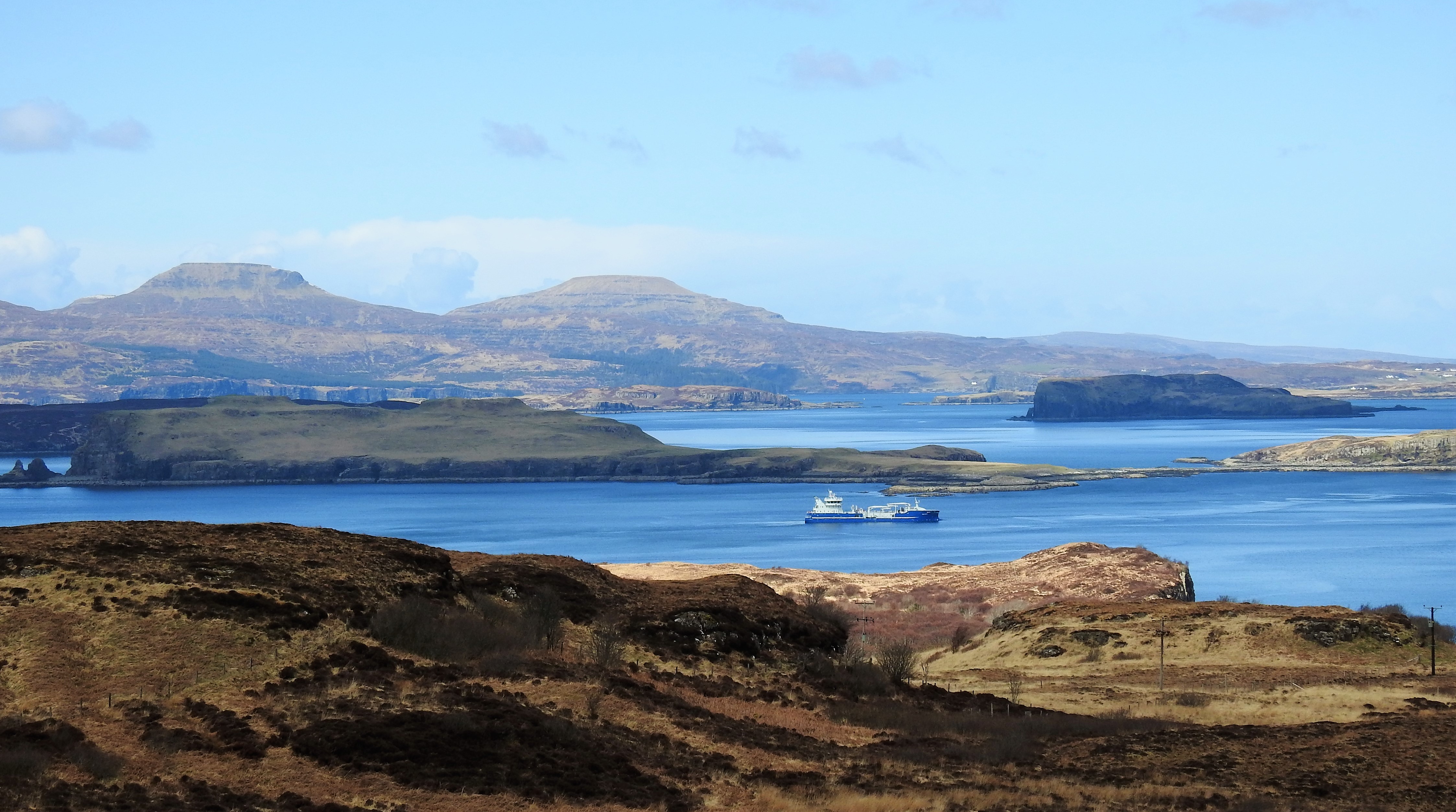
Dùn Ardtreck is a historic heritage site located in Inverness-shire, Scotland. Situated on the Isle of Skye, it is a prominent landmark that holds significant historical and cultural importance. The site consists of the ruins of a medieval castle perched on a hilltop, providing breathtaking views of the surrounding landscape.

Originally constructed in the 14th century, Dùn Ardtreck was built as a stronghold by the MacLeod clan. It served as a defensive structure, protecting the clan's territory and acting as a symbol of their power and influence. The castle was strategically positioned to oversee the nearby Loch Harport, offering a vantage point for monitoring maritime activities.

Over the centuries, Dùn Ardtreck witnessed various battles and sieges, as the MacLeod clan faced numerous conflicts with rival clans and outside forces. Unfortunately, the castle suffered significant damage during these clashes, leading to its eventual abandonment in the 17th century.

Today, Dùn Ardtreck stands as a testament to Scotland's rich history and serves as a popular tourist destination. Visitors can explore the ruins, marvel at the remaining architectural elements, and learn about the castle's intriguing past. The site's picturesque location and panoramic views make it a favorite spot for photographers and nature enthusiasts.

Dùn Ardtreck is not only a heritage site but also a symbol of Scotland's turbulent past, offering a glimpse into the lives of the clans that once dominated the region.

If you have any feedback on the listing, please let us know in the comments section below.
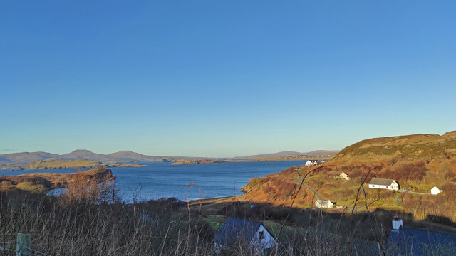
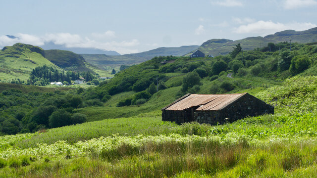
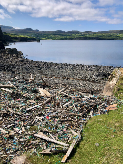
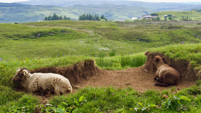
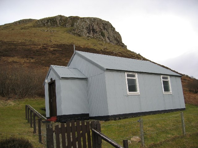
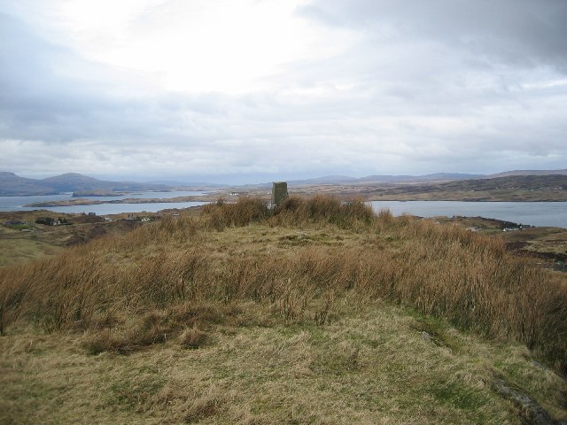
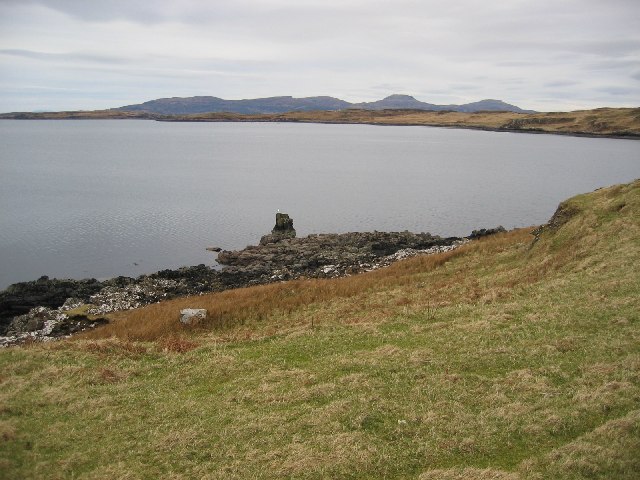
Dùn Ardtreck Images

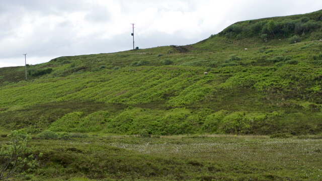
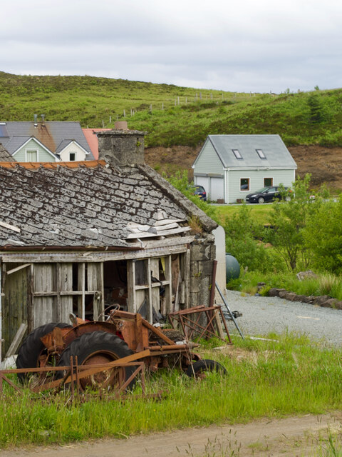
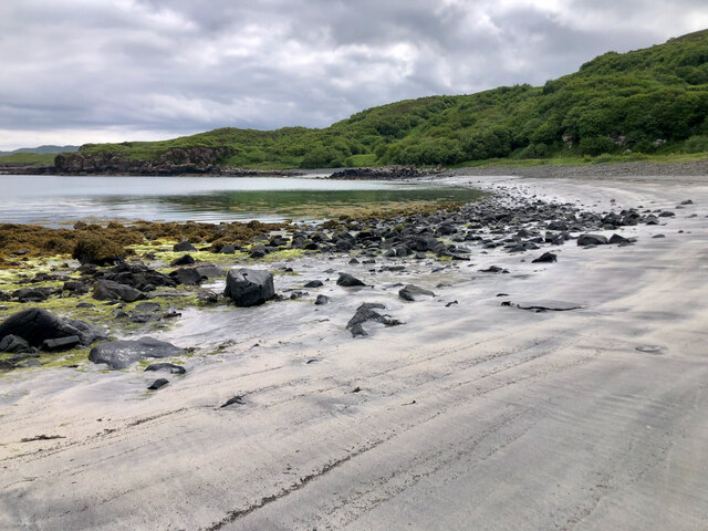
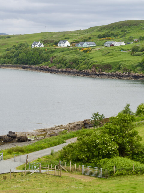
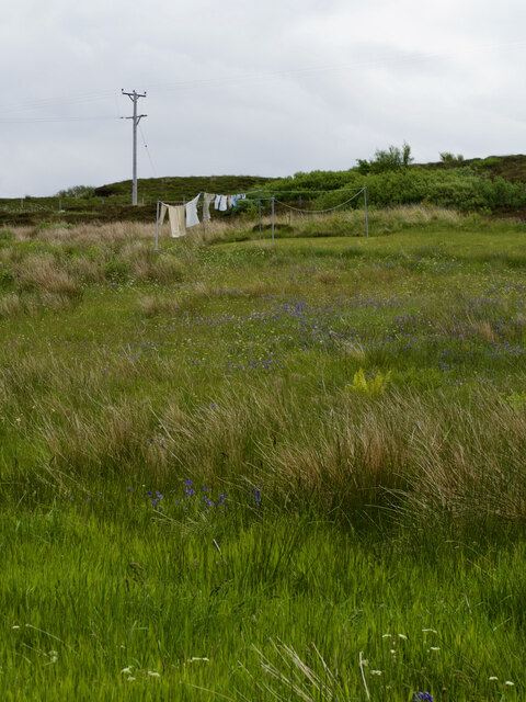
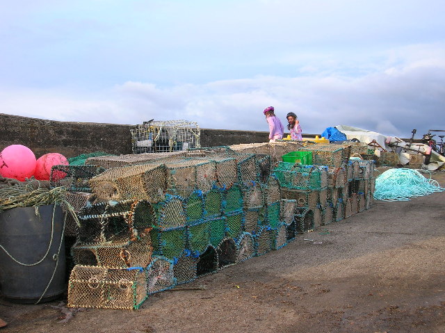
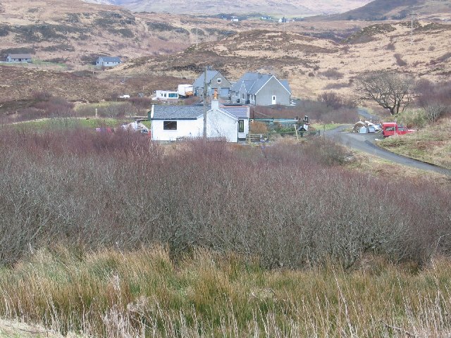
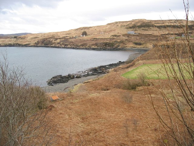
Images are sourced within 2km of 57.332/-6.428 or Grid Reference NG3335. Thanks to Geograph Open Source API. All images are credited.

Fiskavaig Bay A cloudless sky and bright winter sunshine, shortly after noon on Christmas Day 2021.
Fiskavaig Bay
A cloudless sky and bright winter sunshine, shortly after noon on Christmas Day 2021.
Cnoc Mhàirtein across Gesto Bay Cnoc Mhàirtein is the low, rock-girt summit of the promontory into Loch Harport which effectively creates Gesto Bay.
Arnaval is the distant hill.
Cnoc Mhàirtein across Gesto Bay
Cnoc Mhàirtein is the low, rock-girt summit of the promontory into Loch Harport which effectively creates Gesto Bay. Arnaval is the distant hill.
Amidst the encroaching bracken, an abandoned barn succumbs to rusty ruin
Flotsam and jetsam
Flotsam and jetsam
Rest and relaxation for the woolly elite
Lazy beds
Lazy beds
Postal solitude on a meandrous road
Àird an t-Sabhail—An abandoned tractor, a dilapidated outbuilding, and a modern garage beyond
Low tide's secrets—Unveiling Camas Àird an t-Sabhail
Coille-ghuail—Where one rebel resident refused to paint his house white
Postcard from Heatherbrae—Washing dancing on the moorland
Lobster pots A pier exists at the end of the road out to Portnalong.
Lobster pots
A pier exists at the end of the road out to Portnalong.
Houses at Fiskavaig The nearest house is in the normal style for this part of Skye. It is heavily influenced in design by immigration from Harris. Behind are new builds.
Houses at Fiskavaig
The nearest house is in the normal style for this part of Skye. It is heavily influenced in design by immigration from Harris. Behind are new builds.
Fiskavaig Bay Looking ENE
Fiskavaig Bay
Looking ENE
Portnalong Free Church of Scotland With Cnoc Glas Heilla behind.
Portnalong Free Church of Scotland
With Cnoc Glas Heilla behind.
Cnoc Glas Heilla Trig Looking north with Macleods Tables on the left of the horizon.
Cnoc Glas Heilla Trig
Looking north with Macleods Tables on the left of the horizon.
Clach a' Chruinneachaidh The stone of the gathering of people. There is not much dry land in this square. This picture shows most of it.
Clach a' Chruinneachaidh
The stone of the gathering of people. There is not much dry land in this square. This picture shows most of it.
Taigh Ailean Hotel and Loch Harport beyond.
Taigh Ailean Hotel
and Loch Harport beyond.
Show me another place!

Dùn Ardtreck is located at Grid Ref: NG3335 (Lat: 57.332, Lng: -6.428)

Unitary Authority: Highland

Police Authority: Highlands and Islands

What 3 Words

///clay.sunbeam.frogs. Near Carbost, Highland

Related Wikis

Dun Ardtreck

Dun Ardtreck is a D-shaped dun, or "semi-broch", located on the west coast of the island of Skye, in Scotland (grid reference NG33503581). == Location... ==

Portnalong

Portnalong (Scottish Gaelic: Port nan Long) is a small village on north west of the Isle of Skye on the shore of Loch Harport. Portnalong is Gaelic for...

Fiskavaig

Fiskavaig or Fiscavaig (Scottish Gaelic: Fiosgabhaig) is a picturesque crofting settlement on the north-west shore of the Minginish peninsula, Isle of...

Oronsay, Loch Bracadale

Oronsay (Scottish Gaelic: Orasaigh) is an uninhabited tidal island in Loch Bracadale on the west coast of Skye, Scotland. It is c.1,000 metres (0.7miles...

Nearby Amenities

Located within 500m of 57.332,-6.428
Source: PGS
Lat/Long: 57.3348169/-6.4227469
Source: PGS
Lat/Long: 57.3352789/-6.4231946
Source: PGS
Lat/Long: 57.335349/-6.4234413
Source: PGS
Lat/Long: 57.3355131/-6.4239614
Source: PGS
Lat/Long: 57.3359539/-6.4243074
Source: PGS
Lat/Long: 57.3360439/-6.43079
Source: PGS
Lat/Long: 57.3356722/-6.4304625
Source: PGS
Lat/Long: 57.334973/-6.4299803
Source: PGS
Lat/Long: 57.3349675/-6.4301847
Source: PGS
Lat/Long: 57.3347671/-6.4303896
Source: PGS
Lat/Long: 57.3344915/-6.430101
Source: PGS
Lat/Long: 57.3344205/-6.4301101
Source: PGS
Lat/Long: 57.3341927/-6.4297909
Source: PGS
Lat/Long: 57.3339857/-6.4294653
Source: PGS
Lat/Long: 57.3334012/-6.4296442
Source: PGS
Lat/Long: 57.3325547/-6.4303128
Source: PGS
Lat/Long: 57.3317622/-6.429704
Source: PGS
Lat/Long: 57.3316042/-6.4295401
Created By: dmgroom_coastlines
Source: PGS
Lat/Long: 57.33162/-6.42917
Created By: dmgroom_coastlines
Source: PGS
Lat/Long: 57.33136/-6.42941
Source: PGS
Lat/Long: 57.3313046/-6.4293467
Source: PGS
Lat/Long: 57.3311711/-6.429046
Source: PGS
Lat/Long: 57.3306209/-6.429627
Source: PGS
Lat/Long: 57.3296686/-6.4300459
Source: PGS
Lat/Long: 57.3292647/-6.4300446
Created By: dmgroom_coastlines
Source: PGS
Lat/Long: 57.32881/-6.4296
Source: PGS
Lat/Long: 57.3285717/-6.4297485
Source: PGS
Lat/Long: 57.3283612/-6.4291351
Source: PGS
Lat/Long: 57.3282579/-6.4289975
Source: PGS
Lat/Long: 57.3280082/-6.4289042
Barrier: cattle_grid
Source: survey
Lat/Long: 57.3311188/-6.425468
Turning Circle
Lat/Long: 57.3314272/-6.423214
Power: pole
Lat/Long: 57.3300959/-6.4283008
Power: pole
Lat/Long: 57.3306501/-6.4266522
Power: pole
Lat/Long: 57.3310195/-6.4255591
Power: pole
Lat/Long: 57.3310798/-6.4235089
Power: pole
Lat/Long: 57.3311412/-6.4214366
Power: pole
Lat/Long: 57.333009/-6.4248022
Power: pole
Lat/Long: 57.332721/-6.424291
Power: pole
Lat/Long: 57.3323581/-6.4236468
Power: pole
Lat/Long: 57.3320235/-6.4230228
Power: pole
Lat/Long: 57.3317182/-6.4224672
Power: pole
Lat/Long: 57.3308163/-6.4208327
Power: pole
Lat/Long: 57.3304643/-6.4201966
The data included in this document is from www.openstreetmap.org. The data is made available under ODbL.

Have you been to Dùn Ardtreck?

Leave your review of Dùn Ardtreck below (or comments, questions and feedback).