Duke's Head

Heritage Site in Norfolk South Norfolk

England

Duke's Head

Shotesham, St. Mary's Church
Shotesham, St. Mary's Church Credit: Michael Garlick

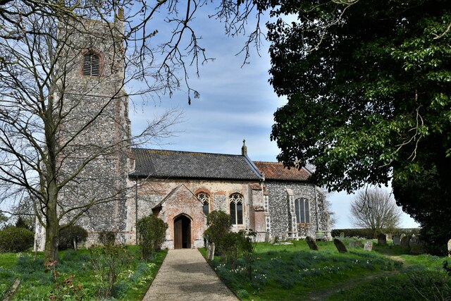
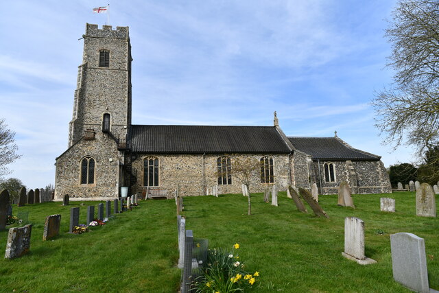
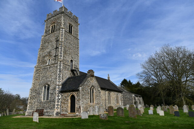
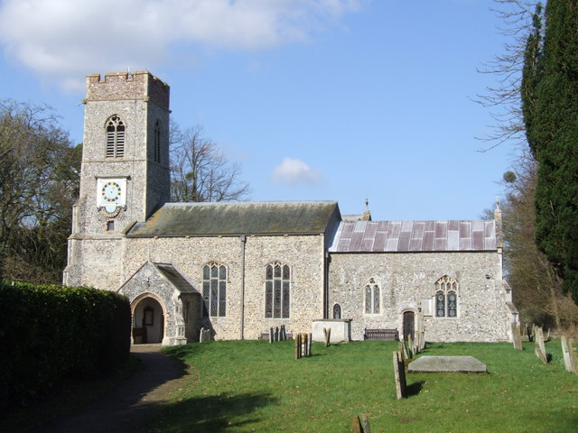
Duke's Head, located in Norfolk, England, is a historical heritage site that holds significant cultural and architectural importance. Situated on the North Quay in the town of King's Lynn, Duke's Head is a well-preserved example of a 17th-century coaching inn.

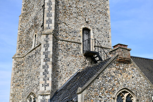
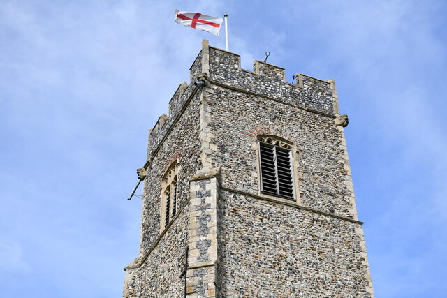
Originally built in the 1680s, Duke's Head served as a vital stopover point for travelers and traders journeying from London to the port of King's Lynn. The inn's name is derived from its close association with the Duke of Norfolk, who owned the site during the early 18th century. The building's notable architectural features include its charming Georgian facade, grand entrance porch, and decorative plasterwork.

Today, Duke's Head stands as a testament to the region's rich history, attracting visitors with its unique blend of historical significance and modern amenities. The inn has undergone careful restoration over the years, ensuring that its original charm and character are preserved. Inside, the building boasts a range of facilities, including a restaurant, bar, and comfortable guest rooms, providing a comfortable and memorable experience for tourists and locals alike.

In addition to its architectural significance, Duke's Head is also renowned for its connection to notable historical figures. It is believed that the famous diarist Samuel Pepys stayed at the inn during his visit to King's Lynn in the 17th century.

Overall, Duke's Head in Norfolk stands as a remarkable heritage site, offering a glimpse into the past while providing a warm and welcoming atmosphere for visitors to enjoy.

If you have any feedback on the listing, please let us know in the comments section below.

Duke's Head Images

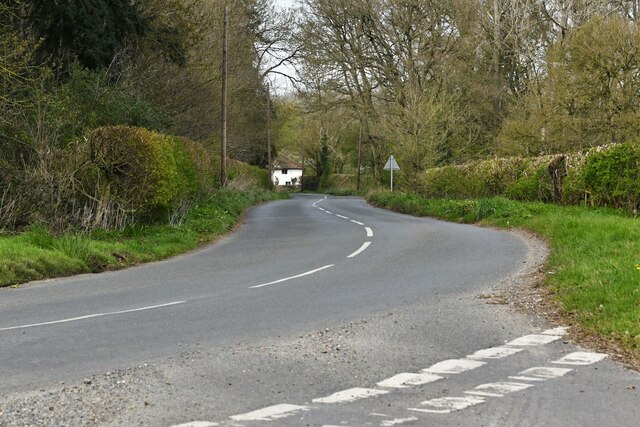
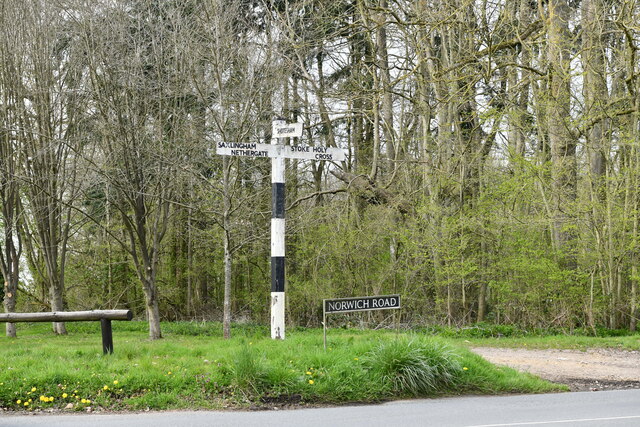
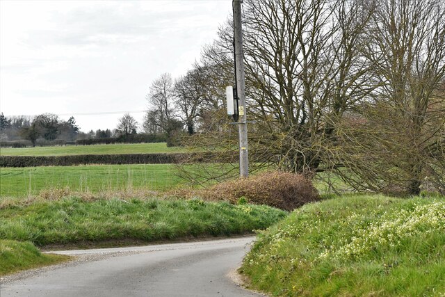
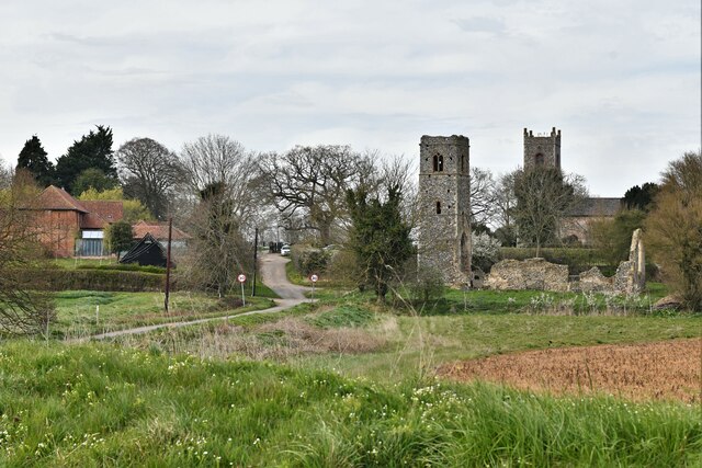
Images are sourced within 2km of 52.547/1.312 or Grid Reference TM2499. Thanks to Geograph Open Source API. All images are credited.

Shotesham, St. Mary's Church
Swainsthorpe: Norwich Road staggered crossroads
Swainsthorpe: Harvested biofuel crop and oil seed rape crop
Saxlingham Nethergate: Norwich Road from Keepers Road
Shotesham: Rogers Lane
Shotesham: The ruined St. Martin's Church and St. Mary's Church beyond
Shotesham: Field
Shotesham: Field
Shotesham War Memorial
Shotesham, All Saints Church: The Churchyard
Shotesham, All Saints Church: Eagle pinnacle
Shotesham, All Saints Church: Southern aspect
Shotesham, All Saints Church: Exterior tower doorway
Shotesham, All Saints Church: The tower
Shotesham, All Saints Church: South western aspect
Shotesham, All Saints Church: Dated graffiti on the north porch wall
Shotesham: The Grove
Show me another place!

Duke's Head is located at Grid Ref: TM2499 (Lat: 52.547, Lng: 1.312)

Administrative County: Norfolk

District: South Norfolk

Police Authority: Norfolk

What 3 Words

///beaters.mule.romantics. Near Poringland, Norfolk

Related Wikis

Shotesham Common

Shotesham Common is a 21.6-hectare (53-acre) biological Site of Special Scientific Interest south of Norwich in Norfolk.This site consists of traditionally...

Shotesham

Shotesham () is a village in South Norfolk which lies approximately 5 miles south of Norwich. It sits next to Stoke Holy Cross and Saxlingham Nethergate...

Stoke Holy Cross

Stoke Holy Cross is a village in South Norfolk which lies approximately 4 miles (6.4 km) south of Norwich. == Geography == Stoke sits on the River Tas...

Saxlingham Nethergate

Saxlingham Nethergate is a village and civil parish in Norfolk, England, about 9.5 miles (15 km) south of Norwich. The civil parish has an area of 3.3...

Nearby Amenities

Located within 500m of 52.547,1.312
Bus Stop
All Saints Church, adj
Naptan AtcoCode: 2900S193
Naptan Bearing: W
Naptan BusStopType: CUS
Naptan CommonName: All Saints Church
Naptan Indicator: adj
Naptan Locality: Shotesham
Naptan NaptanCode: nfodtgmj
Naptan Street: The Street
Naptan Verified: no
Source: naptan_import
Lat/Long: 52.5432452/1.3126409
Bus Stop
All Saints Church, opp
Naptan AtcoCode: 2900S195
Naptan Bearing: E
Naptan BusStopType: CUS
Naptan CommonName: All Saints Church
Naptan Indicator: opp
Naptan Locality: Shotesham
Naptan NaptanCode: nfodtgmt
Naptan Street: The Street
Naptan Verified: no
Source: naptan_import
Lat/Long: 52.5434322/1.3119986
Bus Stop
Hollow Lane, adj
Naptan AtcoCode: 2900S198
Naptan Bearing: NW
Naptan BusStopType: CUS
Naptan CommonName: Hollow Lane
Naptan Indicator: adj
Naptan Landmark: Hollow Lane
Naptan Locality: Shotesham
Naptan NaptanCode: nfodtgpd
Naptan Street: The Street
Naptan Verified: no
Source: naptan_import
Lat/Long: 52.5470068/1.3084057
Bus Stop
Hollow Lane, opp
Naptan AtcoCode: 2900S199
Naptan Bearing: SE
Naptan BusStopType: CUS
Naptan CommonName: Hollow Lane
Naptan Indicator: opp
Naptan Landmark: Hollow Lane
Naptan Locality: Shotesham
Naptan NaptanCode: nfodtgpg
Naptan Street: The Street
Naptan Verified: no
Source: naptan_import
Lat/Long: 52.5470308/1.3085108
Ford: yes
Lat/Long: 52.54704/1.3068549
Bench
Backrest: yes
Material: wood
Lat/Long: 52.5449045/1.3104835
Historic: memorial
Memorial: war_memorial
Lat/Long: 52.5429045/1.3113588
Bench
Backrest: yes
Material: wood
Seats: 3
Lat/Long: 52.5429023/1.311465
Entrance: yes
Lat/Long: 52.5426562/1.3120346
Bench
Backrest: yes
Material: wood
Seats: 3
Lat/Long: 52.5429322/1.3116111
Bench
Backrest: yes
Material: wood
Seats: 3
Lat/Long: 52.5428328/1.3112898
Give Way
Lat/Long: 52.5435791/1.3112401
Give Way
Lat/Long: 52.5434133/1.3112658
Give Way
Lat/Long: 52.5434651/1.3115383
Entrance: main
Lat/Long: 52.5426967/1.3117473
Leisure: picnic_table
Lat/Long: 52.5461257/1.3093002
Leisure: picnic_table
Lat/Long: 52.5461599/1.3092727
Leisure: picnic_table
Lat/Long: 52.5461163/1.3092694
Leisure: picnic_table
Lat/Long: 52.5461509/1.3092365
Information: board
Tourism: information
Lat/Long: 52.544875/1.3104978
Bench
Backrest: no
Material: wood
Seats: 2
Lat/Long: 52.5458031/1.3092948
Bench
Backrest: no
Material: wood
Seats: 2
Lat/Long: 52.5456596/1.3093324
Bench
Backrest: no
Material: wood
Seats: 2
Lat/Long: 52.5455935/1.3093793
Post Box
Collection Times: Mo-Fr 15:15; Sa 09:00
Operator: Royal Mail
Post Box Type: lamp
Ref: NR15 1501
Royal Cypher: EIIR
Royal Cypher Wikidata: Q33102113
Source: survey
Lat/Long: 52.5454638/1.3101363
Defibrillator
Booth: K6
Covered: booth
Defibrillator Location: In old Red Phone Box, The Street, Shotesham
Disused Amenity: telephone
Emergency: defibrillator
Man Made: telephone_box
Opening Hours: 24/7
Operator: The Community Heartbeat Trust
Ref: CHT-13-976
Wheelchair: no
Lat/Long: 52.5454793/1.310121
Bench
Backrest: yes
Material: wood
Seats: 3
Lat/Long: 52.5435264/1.3112234
Grit Bin
Colour: yellow
Lat/Long: 52.5434713/1.3114084
Shotesham
Colour: grey
Inscription: William Fellowes / Built and endowed at Shotesham early in the 18th century the first cottage hospital in England. / Dr. Benjamin Gooch who became acknowledged as the greatest English surgeon of his time, was surgeon at the cottage hospital /
Inscription 2: The original buildings are still standing but the hospital on account of its success was moved to Norwich, and in 1771 became the Norfolk and Norwich Hospital.
Man Made: village_sign
Material: metal
Lat/Long: 52.5432528/1.3123948
Bench
Backrest: yes
Material: wood
Seats: 3
Lat/Long: 52.5426406/1.3116163
Hiking: yes
Information: route_marker
Tourism: information
Lat/Long: 52.5471512/1.3083413
Hiking: yes
Information: route_marker
Tourism: information
Lat/Long: 52.5492079/1.3143019
The data included in this document is from www.openstreetmap.org. The data is made available under ODbL.

Have you been to Duke's Head?

Leave your review of Duke's Head below (or comments, questions and feedback).