Double Dike
Heritage Site in Yorkshire
England
Double Dike

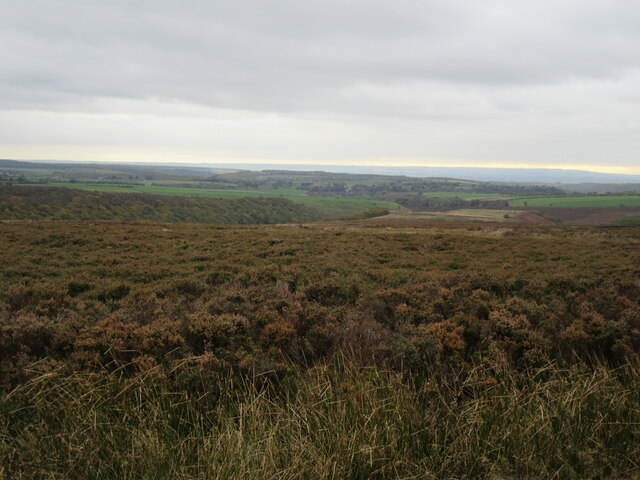
Double Dike is a significant heritage site located in Yorkshire, England. It is a well-preserved linear earthwork that dates back to the Iron Age, making it an important archaeological feature. The dike stretches for approximately 3.5 kilometers and is believed to have been constructed as a defensive boundary, possibly to protect settlements in the area.
The Double Dike consists of two parallel ditches, each measuring around 5 meters in width, with a bank of soil in between. The ditches are relatively deep and were likely designed to deter potential invaders. The earthwork runs across undulating terrain, cutting through fields and woodland, and its construction would have required considerable effort and engineering skill.
The site has been extensively studied by archaeologists, who have uncovered various artifacts and evidence of human activity in the vicinity. Excavations have revealed pottery fragments, tools, and animal bones, shedding light on the daily lives of the people who inhabited the area during the Iron Age.
Double Dike is also known for its scenic beauty, with the earthwork providing a striking visual element in the landscape. The site is popular among visitors interested in history and archaeology, as well as nature enthusiasts who enjoy walking along its well-preserved path. Additionally, the area surrounding the Double Dike offers breathtaking views of the Yorkshire countryside, adding to its allure.
Overall, Double Dike stands as an important testament to the region's ancient past, offering both historical and natural significance to those who explore it.
If you have any feedback on the listing, please let us know in the comments section below.
Double Dike Images
Images are sourced within 2km of 54.338/-0.685 or Grid Reference SE8594. Thanks to Geograph Open Source API. All images are credited.


Double Dike is located at Grid Ref: SE8594 (Lat: 54.338, Lng: -0.685)
Division: North Riding
Police Authority: North Yorkshire
What 3 Words
///backfired.overnight.pixel. Near Pickering, North Yorkshire
Nearby Locations
Related Wikis

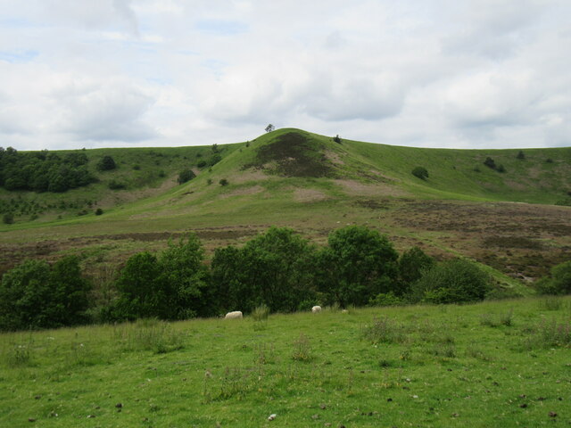
Hole of Horcum
The Hole of Horcum is a section of the valley of the Levisham Beck, upstream of Levisham and Lockton, in the Tabular Hills of the North York Moors National...

Blakey Topping standing stones
Blakey Topping standing stones is a small group of standing stones near the Hole of Horcum in the North York Moors. It sits at the foot of Blakey Topping...

Newton Dale Halt railway station
Newton Dale Halt railway station is a request stop on the North Yorkshire Moors Railway and serves as a stopping off point for walkers around Newton Dale...

Newton Dale
Newton Dale is a narrow dale within the North York Moors National Park in North Yorkshire, England. It was created by meltwater from a glacier carving...
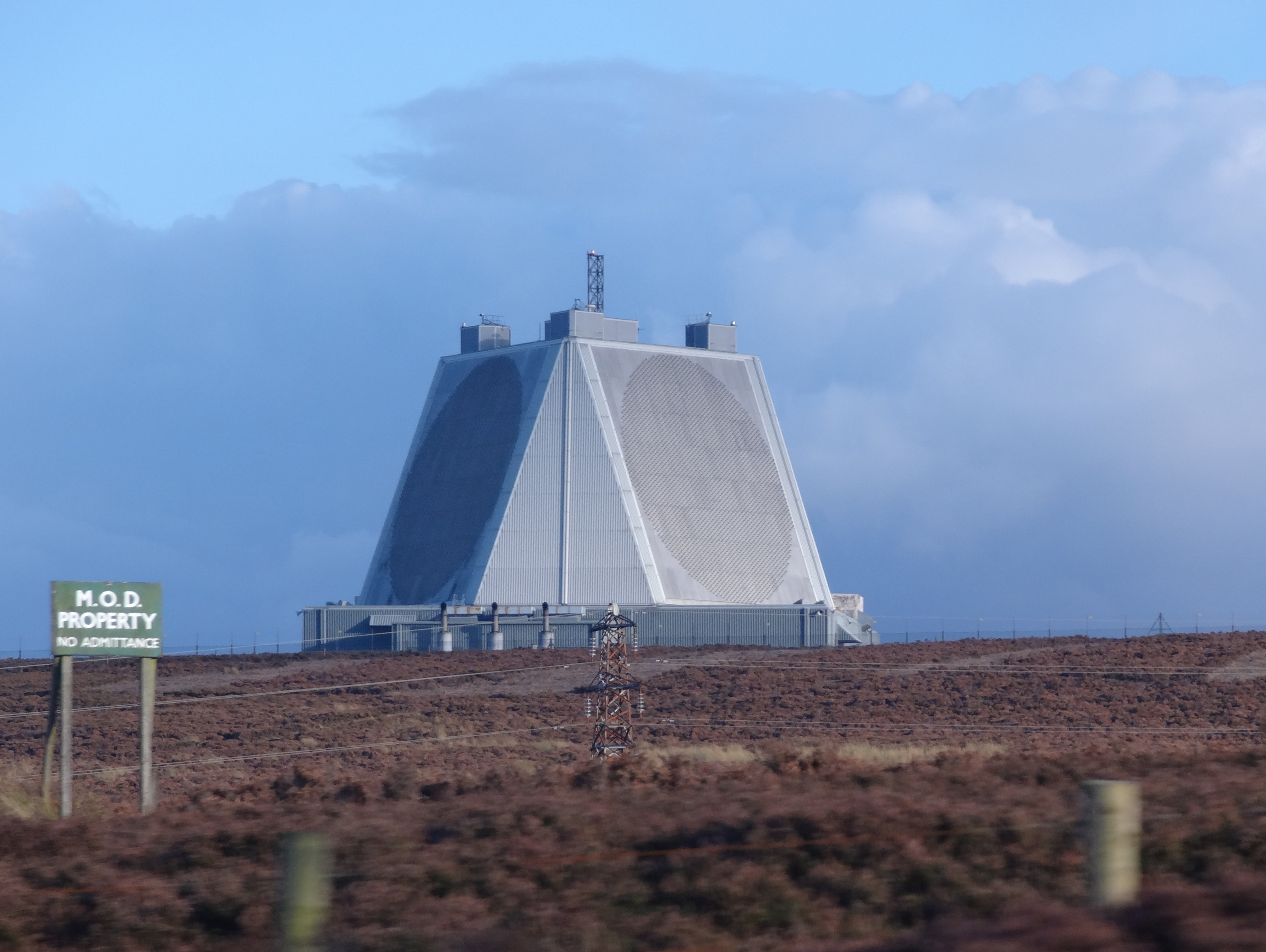
RAF Fylingdales
Royal Air Force Fylingdales or more simply RAF Fylingdales is a Royal Air Force station on Snod Hill in the North York Moors, England. Its motto is "Vigilamus...

Levisham
Levisham is a small village and civil parish in North Yorkshire, England, located within the North York Moors National Park about 5 miles (8 km) north...

Lockton
Lockton is a small village and civil parish in North Yorkshire, England. It is situated in the North York Moors about 4 miles (6.4 km) north-east of Pickering...
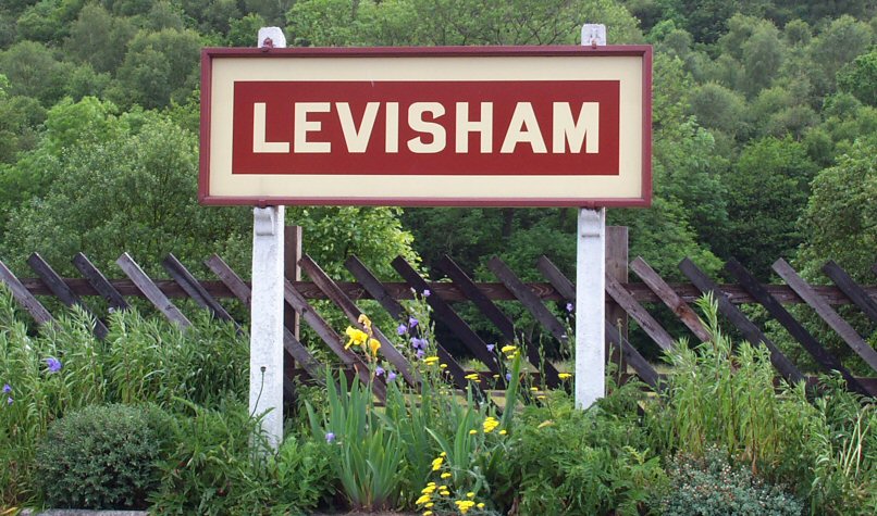
Levisham railway station
Levisham railway station is a station on the North Yorkshire Moors Railway and serves the village of Levisham in the North York Moors National Park, North...
Nearby Amenities
Located within 500m of 54.338,-0.685Have you been to Double Dike?
Leave your review of Double Dike below (or comments, questions and feedback).