Dinas Emrys
Heritage Site in Caernarfonshire
Wales
Dinas Emrys
The requested URL returned error: 429 Too Many Requests
If you have any feedback on the listing, please let us know in the comments section below.
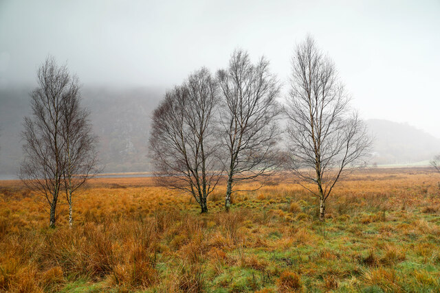
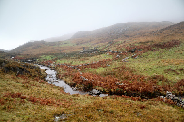
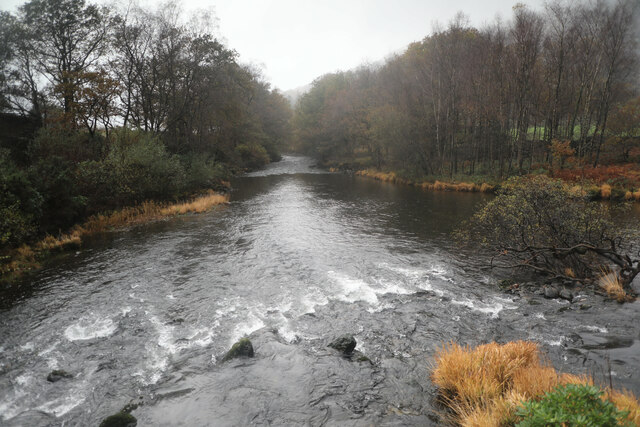
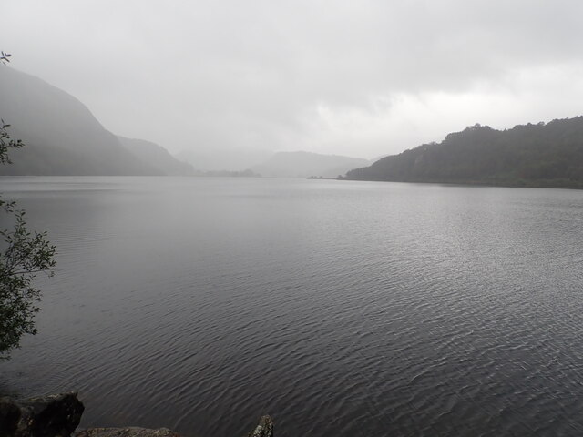
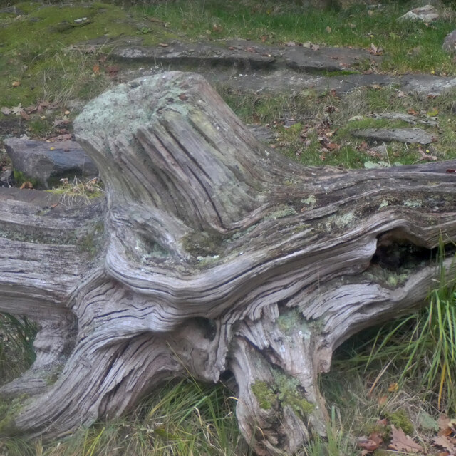
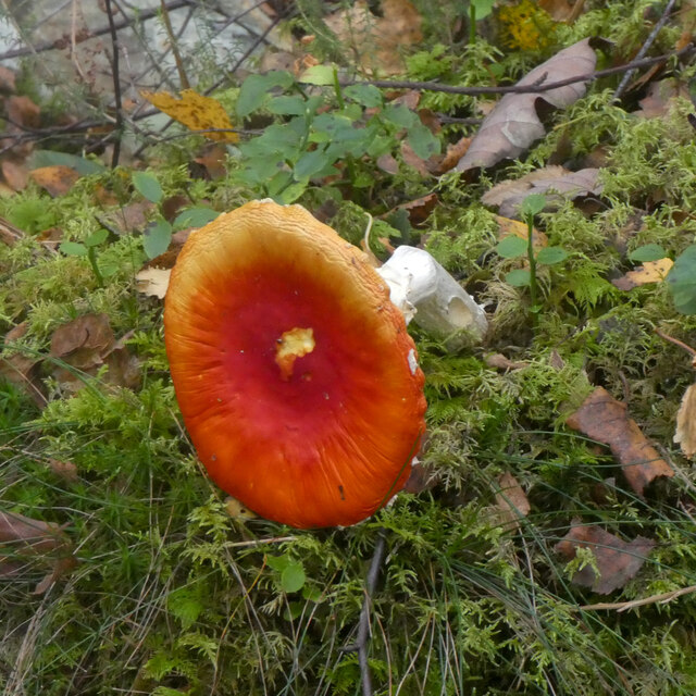
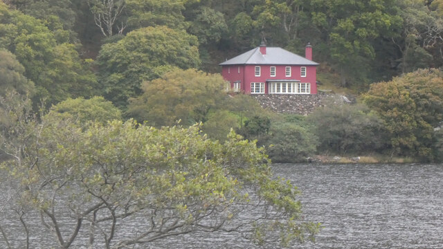
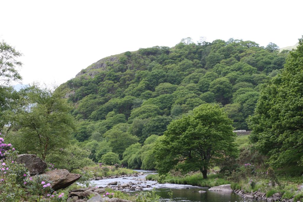
Dinas Emrys Images
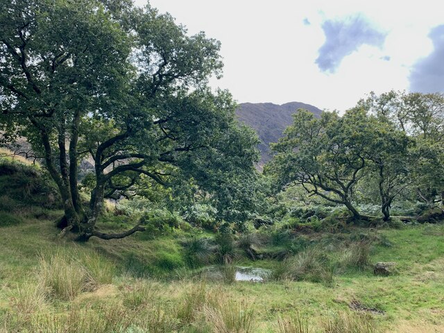
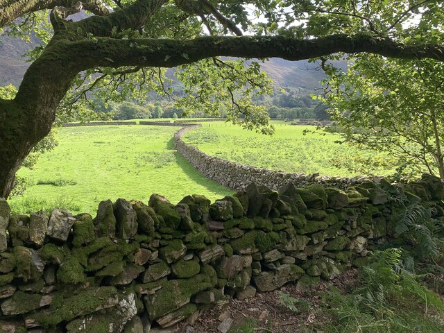
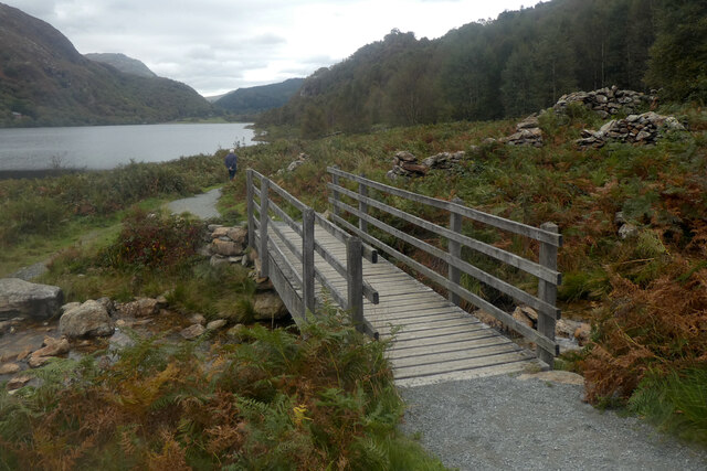
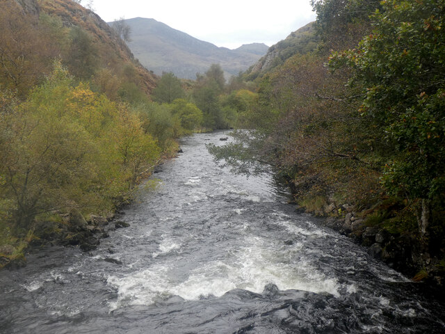
Images are sourced within 2km of 53.025/-4.08 or Grid Reference SH6049. Thanks to Geograph Open Source API. All images are credited.


Dinas Emrys is located at Grid Ref: SH6049 (Lat: 53.025, Lng: -4.08)
Unitary Authority: Gwynedd
Police Authority: North Wales
What 3 Words
///reinvest.digs.mocked. Near Penrhyndeudraeth, Gwynedd
Nearby Locations
Related Wikis
Dinas Emrys
Dinas Emrys (Welsh for 'Emrys's city') is a rocky and wooded hillock near Beddgelert in Gwynedd, north-west Wales. Rising some 76 m (250 ft) above the...

Sygun Copper Mine
Sygun Copper Mine is a Victorian copper mine which closed in 1903 but was renovated and reopened by the Amies family as a tourist attraction in 1986, focusing...

A498 road
The A498 is a 16-mile road between Pen-y-Gwryd and Porthmadog in North Wales. At Pen-y-Gwryd, the A4086 Llanberis Pass route bears off to the north. The...

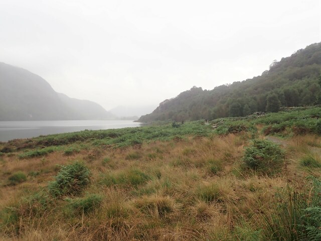
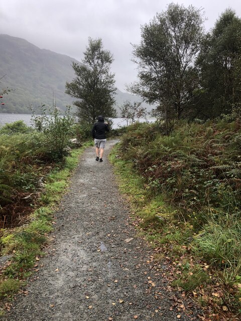
Llyn Dinas
Llyn Dinas is a lake near Beddgelert, Gwynedd in north Wales. It is formed by the River Glaslyn. Llyn Dinas lies on the valley floor a few miles north...
Nearby Amenities
Located within 500m of 53.025,-4.08Have you been to Dinas Emrys?
Leave your review of Dinas Emrys below (or comments, questions and feedback).