Merllyn
Settlement in Flintshire
Wales
Merllyn

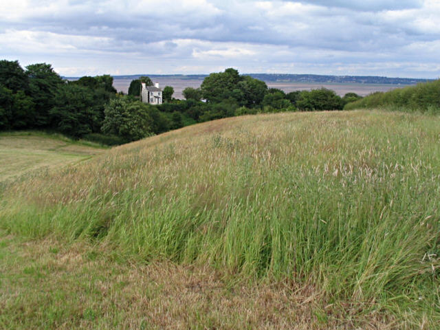
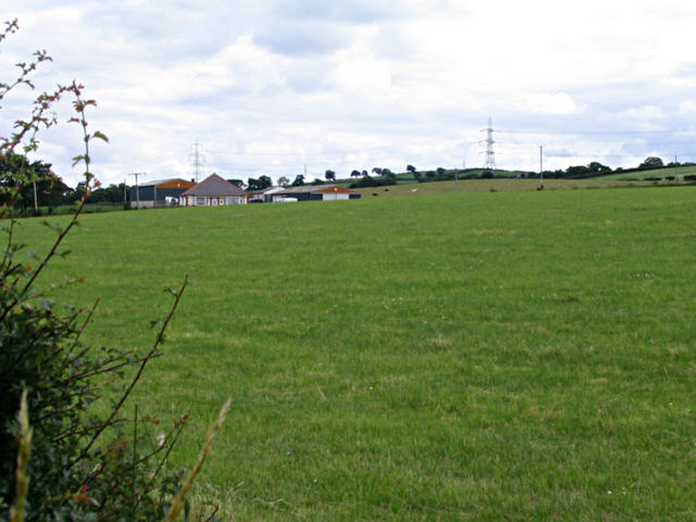
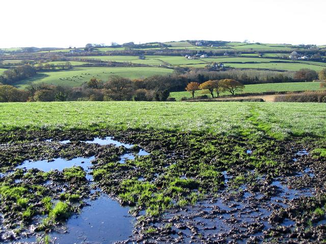
Merllyn is a small village located in Flintshire, a county in the northeastern part of Wales, United Kingdom. Situated approximately 5 miles west of Mold, the village is nestled in a picturesque rural setting, surrounded by rolling hills and verdant farmland. It is well-connected to nearby towns and cities via the A541 road.
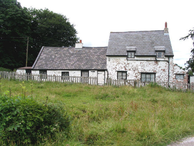
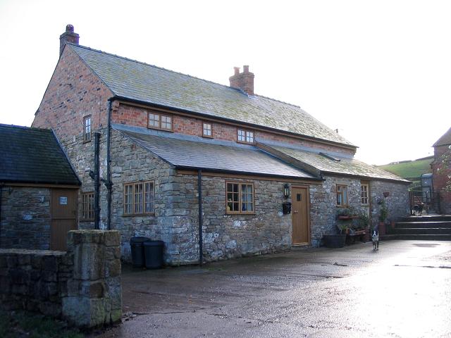
The village of Merllyn boasts a close-knit community, with a population of around 300 residents. It is primarily a residential area, characterized by traditional stone-built houses and cottages. The village exudes a tranquil and peaceful atmosphere, making it an ideal place to escape the hustle and bustle of city life.
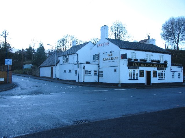
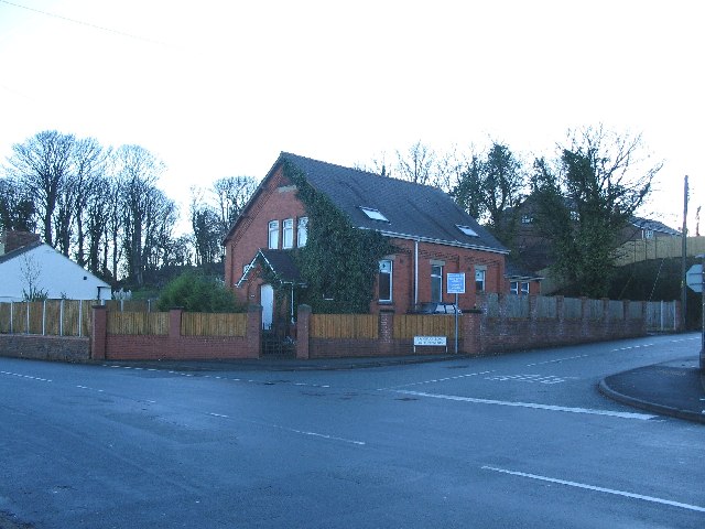
Although small in size, Merllyn offers several amenities to its residents. There is a local pub, known for its warm and friendly atmosphere, which serves as a popular gathering spot for locals. The village also has a community hall, where various events and activities are organized throughout the year, fostering a sense of community spirit.
The surrounding countryside provides ample opportunities for outdoor pursuits. Residents and visitors can explore the beautiful landscape through walking and cycling trails, enjoying the stunning views and fresh air. Additionally, the nearby River Alyn offers fishing opportunities for angling enthusiasts.
Overall, Merllyn is a charming and peaceful village, offering a tranquil lifestyle amidst beautiful natural surroundings.
If you have any feedback on the listing, please let us know in the comments section below.
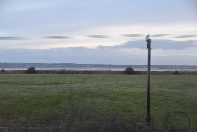
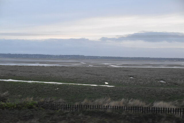
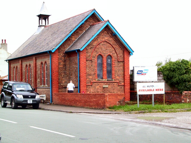
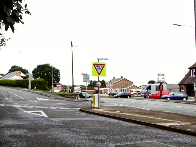
Merllyn Images
Images are sourced within 2km of 53.266087/-3.1859086 or Grid Reference SJ2175. Thanks to Geograph Open Source API. All images are credited.


Merllyn is located at Grid Ref: SJ2175 (Lat: 53.266087, Lng: -3.1859086)
Unitary Authority: Flintshire
Police Authority: North Wales
What 3 Words
///loudness.magazine.calendars. Near Bagillt, Flintshire
Related Wikis

District of Delyn
Delyn was a local government district with borough status from 1974 to 1996, being one of six districts in the county of Clwyd, north-east Wales. ��2...
Bagillt
Bagillt (; Welsh pronunciation: [ˈbaɡɪɬt]) is a market town and community in Flintshire, Wales. The town overlooks the Dee Estuary and is between the towns...
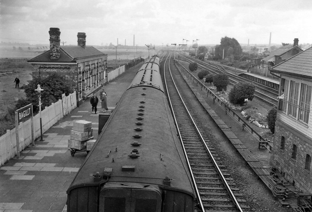
Bagillt railway station
Bagillt railway station was a railway station serving the village of Bagillt on the North Wales Coast Line in the Welsh county of Flintshire. Although...

Whelston
Whelston is part of the West ward of Bagillt community council in Flintshire, Wales. It is just off the A548 coast road, and has been signposted as Boot...

Delyn (UK Parliament constituency)
Delyn is a constituency represented in the House of Commons of the UK Parliament since 2019 by Rob Roberts, who was elected as a Conservative, but currently...

Delyn (Senedd constituency)
Delyn is a constituency of the Senedd. It elects one Member of the Senedd by the first past the post method of election. Also, however, it is one of nine...
Holywell Town F.C.
Holywell Town Football Club (Welsh: Clwb Pêl-droed Treffynnon) is a Welsh football club from Holywell, Flintshire. They are nicknamed 'The Wellmen', and...

Lluesty Hospital
Lluesty Hospital (Welsh: Ysbyty Lluesty) was a community hospital in Holywell, Flintshire, Wales. It was managed by the Betsi Cadwaladr University Health...
Nearby Amenities
Located within 500m of 53.266087,-3.1859086Have you been to Merllyn?
Leave your review of Merllyn below (or comments, questions and feedback).