Cofiwch Dryweryn
Heritage Site in Cardiganshire
Wales
Cofiwch Dryweryn
The requested URL returned error: 429 Too Many Requests
If you have any feedback on the listing, please let us know in the comments section below.
Cofiwch Dryweryn Images
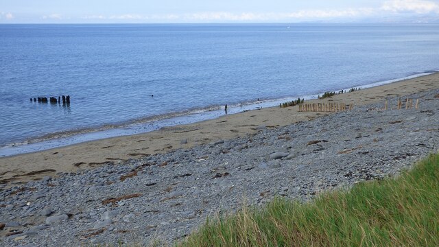
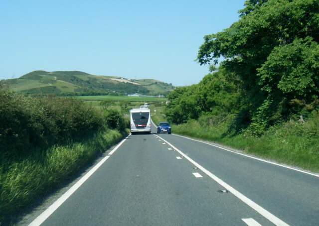
Images are sourced within 2km of 52.304/-4.145 or Grid Reference SN5369. Thanks to Geograph Open Source API. All images are credited.


Cofiwch Dryweryn is located at Grid Ref: SN5369 (Lat: 52.304, Lng: -4.145)
Unitary Authority: Ceredigion
Police Authority: Dyfed Powys
What 3 Words
///ambient.ambushed.proofread. Near Llanon, Ceredigion
Nearby Locations
Related Wikis
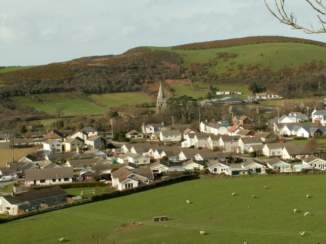
Llanrhystud
Llanrhystud (Welsh pronunciation: [ɬanˈr̥əstɪd]) is a seaside village and electoral division on the A487 road in the county of Ceredigion, in Wales, 9...

Afon Wyre
Afon Wyre (Welsh pronunciation: [ˈʊɨ̯rɛ] ), (English: River Wyre), is a small river in the county of Ceredigion, Wales; also called Afon Wyre Fawr ("Great...

Tŷ-Newydd, Ceredigion
Tŷ-Newydd is a small village in the community of Llanrhystud, Ceredigion, Wales, which is 69.5 miles (111.8 km) from Cardiff and 179.1 miles (288.2 km...
Gaer Penrhôs
Gaer Penrhôs, in Ceredigion, Wales, was a ringwork castle at the summit of a steep hill near the village of Llanrhystud; now all that remains are the outlines...
Nearby Amenities
Located within 500m of 52.304,-4.145Have you been to Cofiwch Dryweryn?
Leave your review of Cofiwch Dryweryn below (or comments, questions and feedback).