Cockpit
Heritage Site in Merionethshire
Wales
Cockpit
Cockpit, located in Merionethshire, is a historical heritage site that holds significant cultural and historical importance. Situated in the heart of Wales, this site offers visitors a glimpse into the country's rich past.
The Cockpit is an ancient circular earthwork enclosure, believed to have been constructed during the Iron Age. It consists of a central circular area, surrounded by two concentric banks and ditches. The site measures approximately 50 meters in diameter, with the banks reaching a height of around 2 meters. The inner bank encloses an area of approximately 20 meters in diameter.
The purpose and function of the Cockpit are still subject to debate among historians and archaeologists. Some theories suggest that it was used as a ceremonial or religious site, while others propose that it served as a defensive structure. The site's strategic location on a slight hilltop provides commanding views of the surrounding landscape, further adding to its mystery.
Despite its age, the Cockpit has remarkably preserved its original features. Visitors can explore the site and walk along the banks to experience the scale and grandeur of this ancient monument. The tranquil and idyllic surroundings create a serene atmosphere, allowing visitors to connect with the past and imagine the lives of the people who once inhabited the area.
Cockpit is a popular destination for history enthusiasts and tourists alike, who are drawn to its enigmatic nature and historical significance. Its inclusion as a heritage site ensures its preservation for future generations, allowing them to appreciate and learn from this remarkable piece of Wales' ancient history.
If you have any feedback on the listing, please let us know in the comments section below.
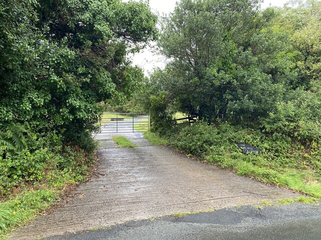
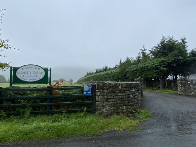
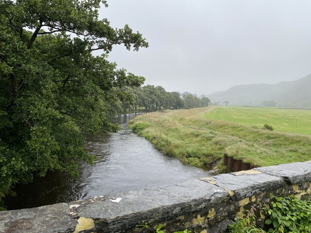
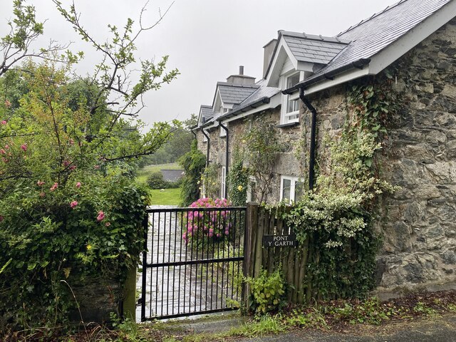
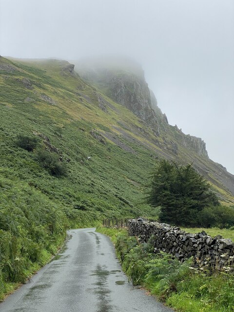
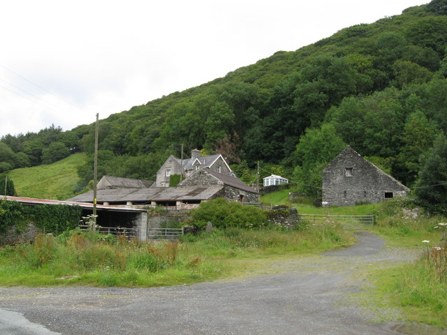
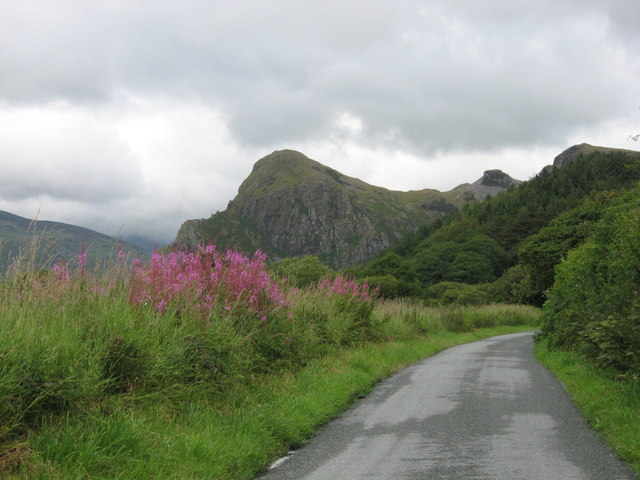
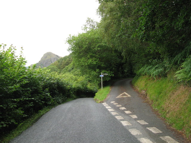
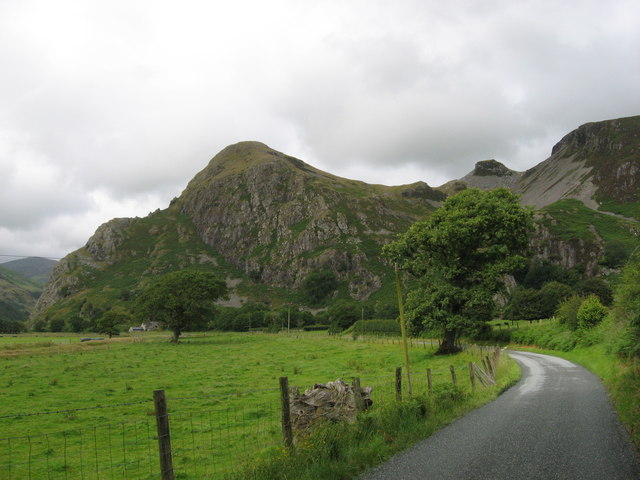
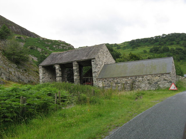
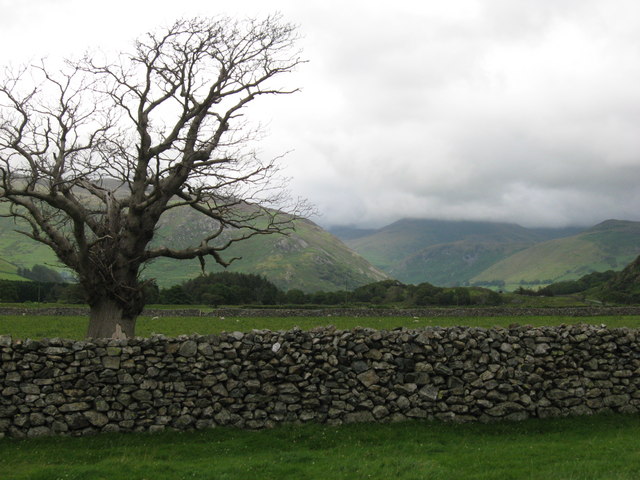
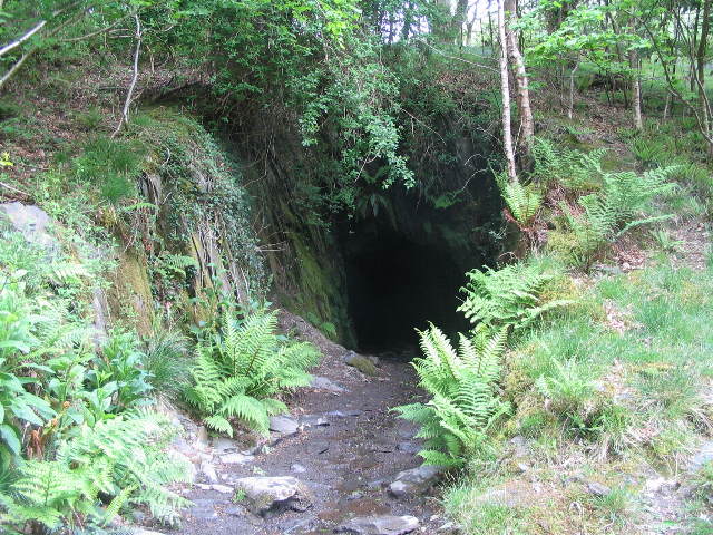
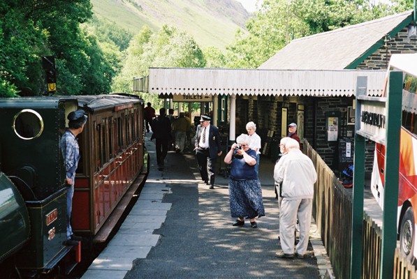
Cockpit Images
Images are sourced within 2km of 52.647/-4.018 or Grid Reference SH6307. Thanks to Geograph Open Source API. All images are credited.


Cockpit is located at Grid Ref: SH6307 (Lat: 52.647, Lng: -4.018)
Unitary Authority: Gwynedd
Police Authority: North Wales
What 3 Words
///skillet.craziest.sunset. Near Tywyn, Gwynedd
Nearby Locations
Related Wikis

Craig yr Aderyn
Craig yr Aderyn, also known as Bird's Rock, is a hill rising to a height of 258 metres (846 ft) above sea level on the south bank of the River Dysynni...

Abertrinant
Abertrinant is a small settlement in Gwynedd, Wales. It is 7 kilometres (4 mi) northeast of the town of Tywyn. == External links == www.geograph.co.uk...

Peniarth
Peniarth is a village in the community of Meifod, Powys, Wales. It is 87.1 miles (140.2 km) from Cardiff and 156.9 miles (252.5 km) from London. It is...

Dolgoch railway station
Dolgoch railway station (also known as Dol-goch railway station, Dol-gôch railway station, or Dolgoch Falls railway station) is a station on the Talyllyn...
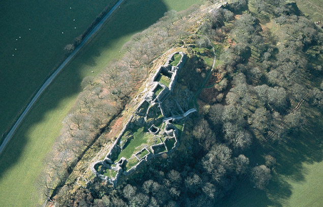
Castell y Bere
Castell y Bere is a Welsh castle near Llanfihangel-y-pennant in Gwynedd, Wales. Constructed by Llywelyn the Great in the 1220s, the stone castle was intended...
Dolgoch quarry, Gwynedd
Dolgoch slate quarry (also spelt Dol-goch slate quarry or Dol-gôch slate quarry) was a slate quarry in Mid Wales, approximately halfway between Bryn-crug...

Dolgoch Falls
The Dolgoch Falls (also known as the Dol-goch falls, or the Dôl-goch falls (English: 'red meadow falls') are a series of three waterfalls near Tywyn in...
Abergynolwyn railway station
Abergynolwyn railway station is a station on the Talyllyn Railway near Abergynolwyn, Gwynedd, in Mid-Wales. It is 6.55 miles (10.54 km) from Tywyn Wharf...
Nearby Amenities
Located within 500m of 52.647,-4.018Have you been to Cockpit?
Leave your review of Cockpit below (or comments, questions and feedback).