Closeburn Castle
Heritage Site in Dumfriesshire
Scotland
Closeburn Castle

Closeburn Castle is a historic fortress located in Dumfriesshire, Scotland. Situated near the village of Closeburn, this impressive castle has a rich history dating back to the 14th century. It is a recognized heritage site due to its architectural significance and historical importance.
The castle stands on a raised mound overlooking the surrounding landscape, providing stunning views of the Nith Valley. Originally built as a defensive structure, it was later transformed into a luxurious residence. The castle's architecture combines various styles, including a medieval keep, a 16th-century tower, and a 19th-century Victorian extension.
Inside, visitors can explore the castle's many rooms, each offering a glimpse into different periods of its history. The Great Hall, with its grand fireplace and ornate ceiling, is particularly noteworthy. Other highlights include the dining room, drawing room, and various bedrooms, all showcasing period furniture, tapestries, and artwork.
The castle's extensive grounds feature a beautiful walled garden, which has been carefully restored to its former glory. It is adorned with vibrant flowers, manicured hedges, and a charming fountain. Additionally, there are picturesque walks and trails surrounding the castle, allowing visitors to appreciate the natural beauty of the area.
Closeburn Castle is open to the public for tours and events, providing a unique opportunity to experience Scottish history firsthand. Its splendid architecture, stunning location, and well-preserved interiors make it a must-visit destination for history enthusiasts and architecture aficionados alike.
If you have any feedback on the listing, please let us know in the comments section below.
Closeburn Castle Images
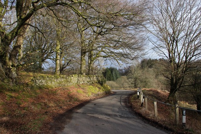
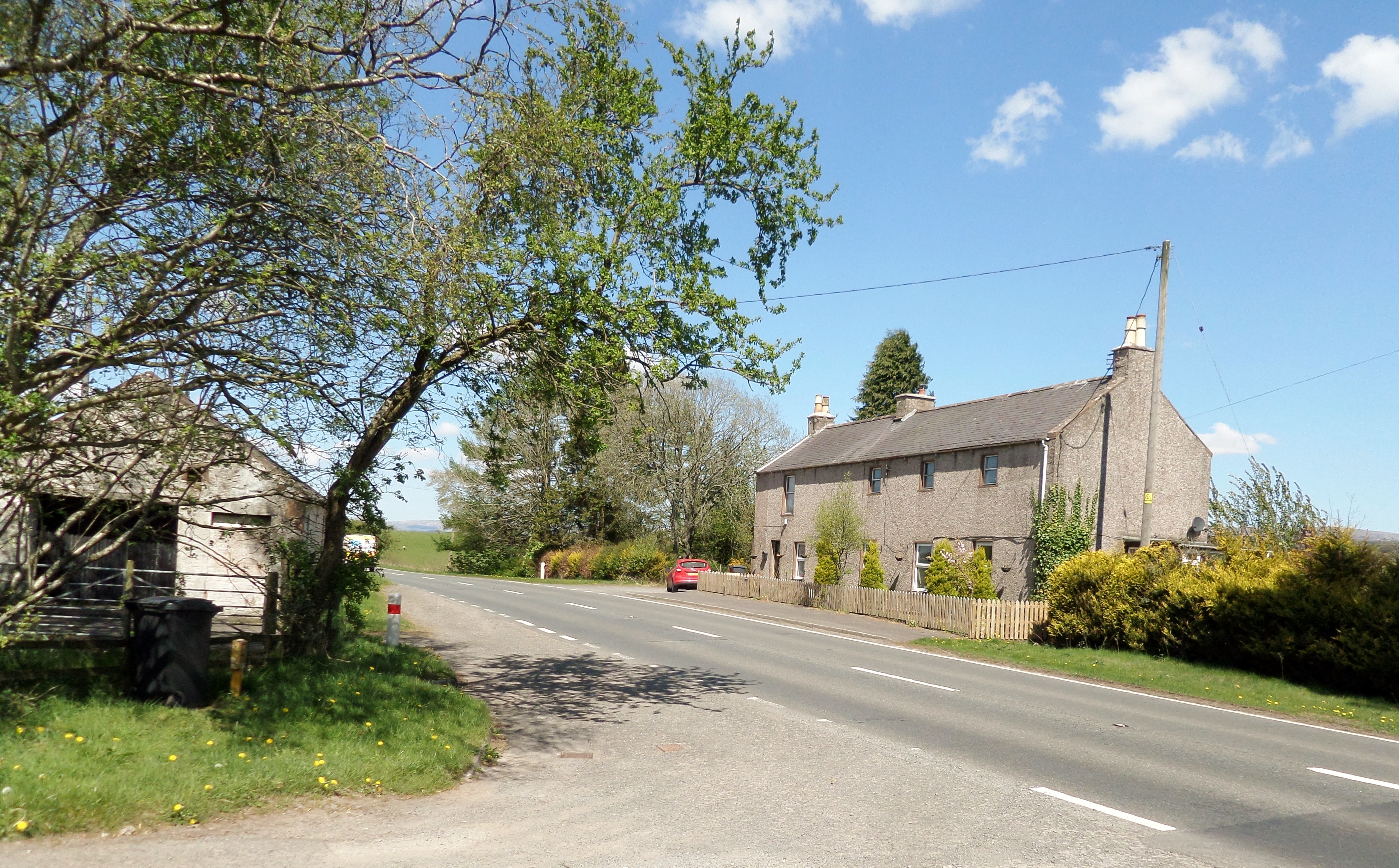
Images are sourced within 2km of 55.215/-3.722 or Grid Reference NX9092. Thanks to Geograph Open Source API. All images are credited.


Closeburn Castle is located at Grid Ref: NX9092 (Lat: 55.215, Lng: -3.722)
Unitary Authority: Dumfries and Galloway
Police Authority: Dumfries and Galloway
What 3 Words
///monorail.passively.split. Near Thornhill, Dumfries & Galloway
Nearby Locations
Related Wikis

Closeburn Castle
Closeburn Castle is a privately owned tower house, probably of the 14th century, but possibly older, and is one of the oldest continually inhabited houses...
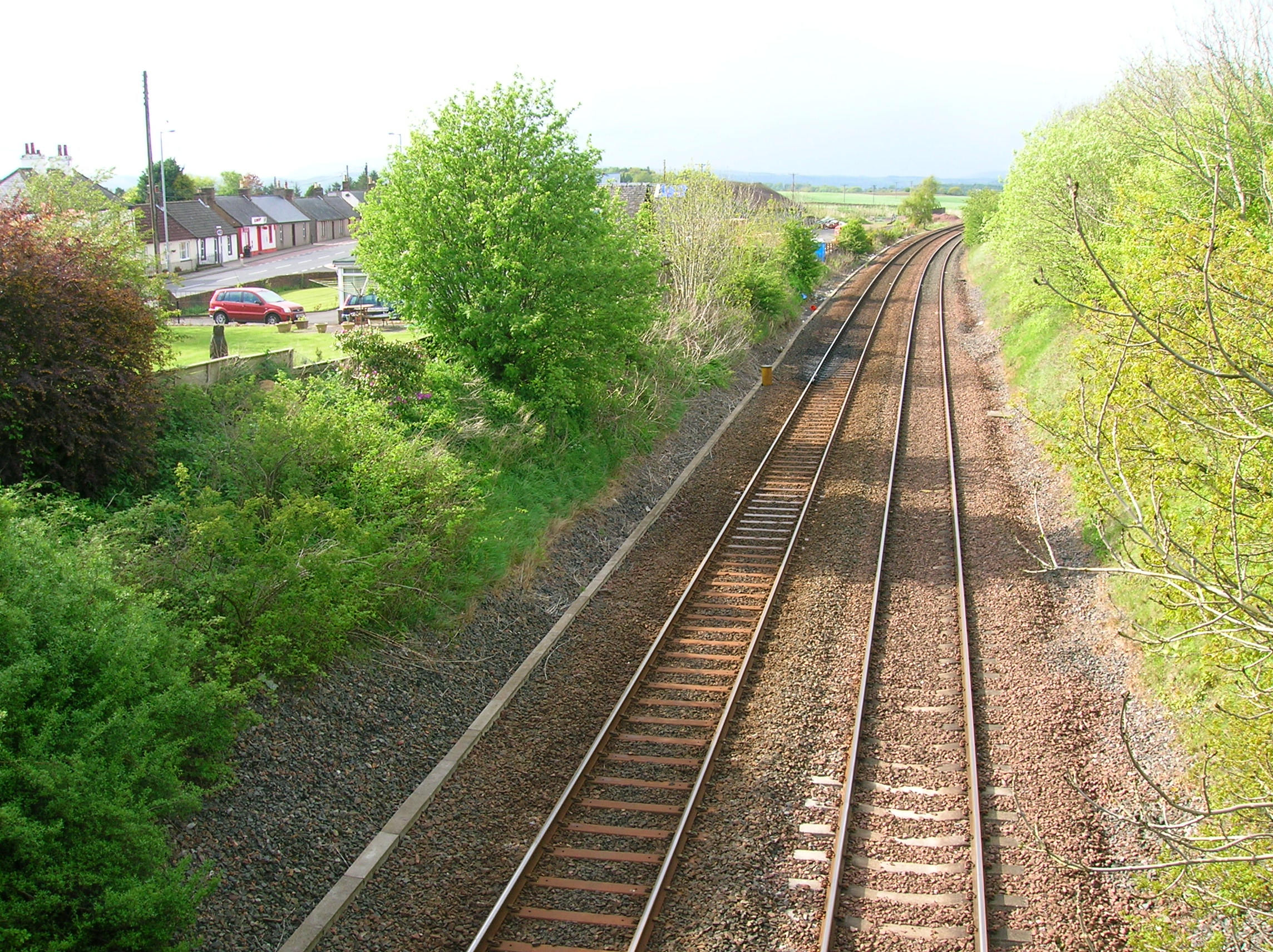
Closeburn railway station
Closeburn railway station was a railway station in Dumfries and Galloway north of Dumfries, serving a rural community with Wallace Hall and Closeburn Castle...

Closeburn, Dumfries and Galloway
Closeburn (Scottish Gaelic: Cill Osbairn) is a village and civil parish in Dumfries and Galloway, Scotland. The village is on the A76 road 2+1⁄2 miles...
Brownhill Inn
Brownhill Inn, now just called Brownhill (NX 902 911), was an inn approximately 1 mile (1.6 km) mile south of Closeburn, on the A76, which itself is about...
Nearby Amenities
Located within 500m of 55.215,-3.722Have you been to Closeburn Castle?
Leave your review of Closeburn Castle below (or comments, questions and feedback).