Clonbeith Castle

Heritage Site in Ayrshire

Scotland

Clonbeith Castle

Minor road between North Fergushill & Burrowland
Minor road between North Fergushill & Burrowland Credit: Leslie Barrie

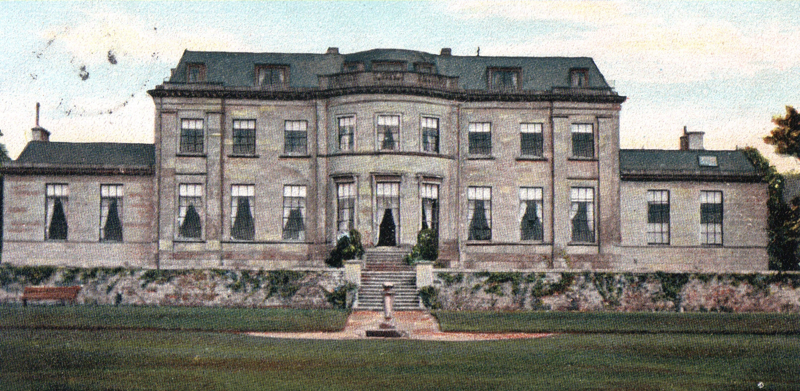
Clonbeith Castle is a historic heritage site located in Ayrshire, Scotland. Situated on a hilltop overlooking the village of Kilwinning, the castle has a rich history dating back to the 15th century.

The original castle was built by the Cunningham family, who were prominent landowners in the area. It served as their ancestral seat and a symbol of their power and influence. Over the centuries, the castle underwent several renovations and additions, resulting in a unique blend of architectural styles.

The castle's exterior features a combination of medieval and Renaissance elements, with a striking tower and a defensive wall surrounding the building. Inside, visitors can explore various rooms, including a great hall, a chapel, and living quarters. The interior boasts intricate woodwork, stone carvings, and decorative plasterwork, providing a glimpse into the opulent lifestyle of the castle's former inhabitants.

In addition to its architectural significance, Clonbeith Castle is also known for its connections to Scottish history. It has been linked to notable figures such as Robert Burns, Scotland's national poet, who is said to have visited the castle on several occasions. The castle has also witnessed significant events, including battles and political gatherings.

Today, Clonbeith Castle is a popular tourist attraction, offering guided tours and educational programs. Visitors can learn about the castle's history, explore its beautiful grounds, and enjoy panoramic views of the surrounding countryside. The castle's preservation and restoration efforts ensure that it remains a cherished piece of Scottish heritage for future generations to admire and appreciate.

If you have any feedback on the listing, please let us know in the comments section below.

Clonbeith Castle Images

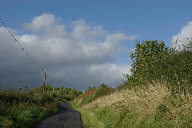
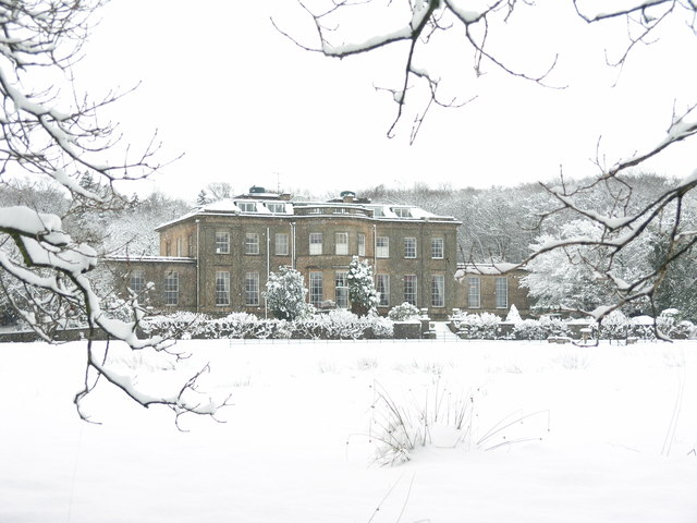
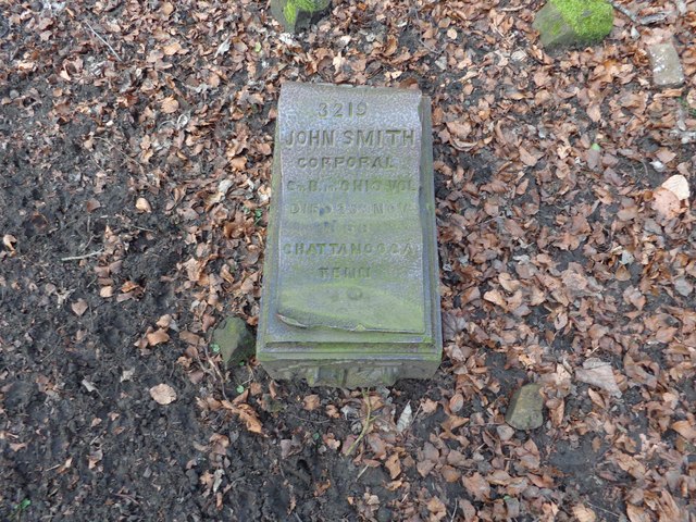
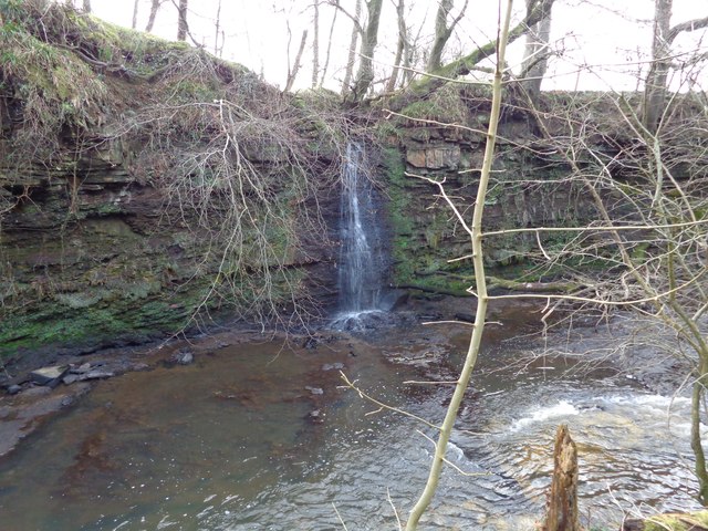
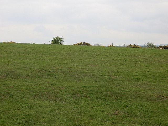
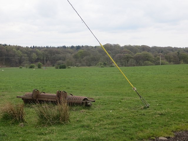
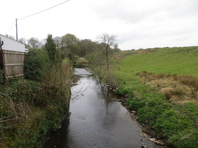
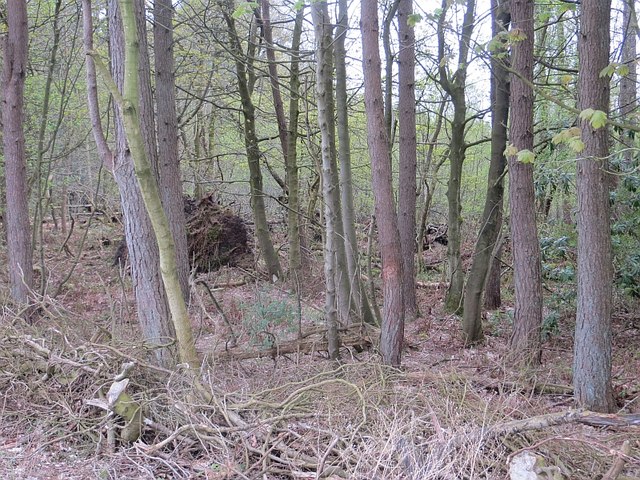
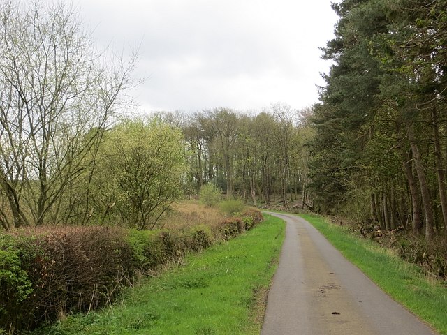
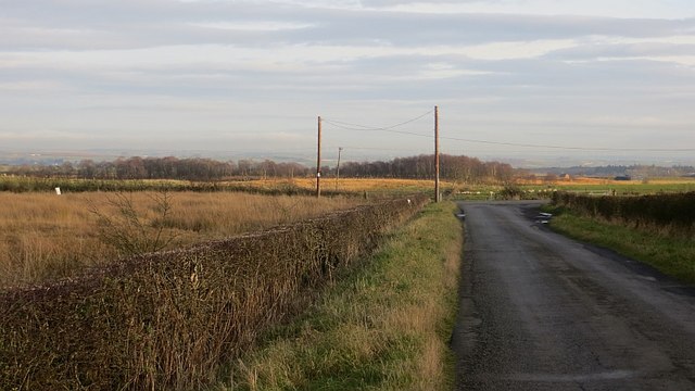
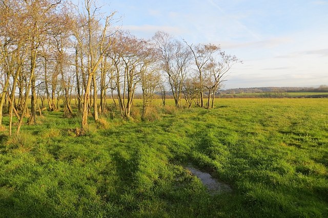
Images are sourced within 2km of 55.675/-4.648 or Grid Reference NS3345. Thanks to Geograph Open Source API. All images are credited.

Minor road between North Fergushill & Burrowland
Montgreenan Mansion House
Unusual memorial stone Came across this unusual memorial stone to
Corporal John Smith at the site of Montgreenan old castle when out mountain biking
Unusual memorial stone
Came across this unusual memorial stone to Corporal John Smith at the site of Montgreenan old castle when out mountain biking
Waterfall near Montgreenan Waterfall at the Old Wood feeding Lugton Water
Waterfall near Montgreenan
Waterfall at the Old Wood feeding Lugton Water
Hall Burn Draining mossland upstream to the Lugton Water.
Hall Burn
Draining mossland upstream to the Lugton Water.
Pasture, Fergushill Grazed by sheep at the time.
Pasture, Fergushill
Grazed by sheep at the time.
Roller Field roller next to a cable stay for an electricity pole, Barnton, Ayrshire.
Roller
Field roller next to a cable stay for an electricity pole, Barnton, Ayrshire.
Lugton Water
Lugton Water
Woods, Montgreenan Woodland surrounds Montgreenan House.
Woods, Montgreenan
Woodland surrounds Montgreenan House.
Minor road, Montgreenan View in the opposite  direction from <a href="https://www.geograph.org.uk/photo/1481008">NS3444 : Minor Road ,Montgreenan</a>.
Minor road, Montgreenan
View in the opposite direction from NS3444 : Minor Road ,Montgreenan.
RJ Miller Agricultural engineers and tractor sales, Jameston Moss.
RJ Miller
Agricultural engineers and tractor sales, Jameston Moss.
Road, Lissens Outside RJ Miller and facing Arranview, a poultry farm.
Road, Lissens
Outside RJ Miller and facing Arranview, a poultry farm.
Lissens Moss One of several surviving bogs near Kilwinning.
Lissens Moss
One of several surviving bogs near Kilwinning.
Road, Lissens Moss Amongst bog lands north of Kilwinning.
Road, Lissens Moss
Amongst bog lands north of Kilwinning.
Lissens Moss A good field amongst bogs and poorly drained land.
Lissens Moss
A good field amongst bogs and poorly drained land.
Road, Lissens Moss A long straight road.
Road, Lissens Moss
A long straight road.
Road near Benthead View through the trees towards a smallish wind turbine.
Road near Benthead
View through the trees towards a smallish wind turbine.
Wood, Benthead A patch of carr in an area with several wetlands.
Wood, Benthead
A patch of carr in an area with several wetlands.
Show me another place!

Clonbeith Castle is located at Grid Ref: NS3345 (Lat: 55.675, Lng: -4.648)

Unitary Authority: North Ayrshire

Police Authority: Ayrshire

What 3 Words

///assurance.filed.physics. Near Kilwinning, North Ayrshire

Related Wikis

Clonbeith Castle

The Castle of Clonbeith is in the old feudal Baillerie of Cunninghame, near Auchentiber, on a sideroad off the B778, in what is now North Ayrshire, Scotland...

Montgreenan

Montgreenan is an estate in North Ayrshire, Parish of Kilwinning, Scotland. The Lugton Water runs through the policies and farmland of Montgreenan. Nearby...

Lylestone

Lylestone is a hamlet in North Ayrshire, Parish of Kilwinning, Scotland. The habitation is situated between Kilwinning and Auchentiber on the B778. It...

Lands of Sevenacres

The Lands of Sevenacres known locally as Snacres were originally part of the holdings of Kilwinning Abbey in North Ayrshire, Scotland. The Laird of Sevenacres...

Nearby Amenities

Located within 500m of 55.675,-4.648
Power: pole
Lat/Long: 55.6779807/-4.6495932
Power: pole
Lat/Long: 55.6773182/-4.6491802
Power: pole
Lat/Long: 55.6766528/-4.6488208
Power: pole
Lat/Long: 55.6757726/-4.6482843
Power: pole
Lat/Long: 55.6751131/-4.6478874
Power: pole
Lat/Long: 55.6720185/-4.6432579
Power: pole
Lat/Long: 55.6728746/-4.6432793
Power: pole
Lat/Long: 55.6736067/-4.6433115
Power: pole
Lat/Long: 55.6746125/-4.6416673
Power: pole
Lat/Long: 55.6743206/-4.643333
Power: pole
Lat/Long: 55.6742873/-4.6448618
Power: pole
Lat/Long: 55.6743146/-4.6460849
Power: pole
Lat/Long: 55.674366/-4.6475306
Power: pole
Lat/Long: 55.6742888/-4.6485311
Power: pole
Lat/Long: 55.67413/-4.6509397
Power: pole
Lat/Long: 55.6740347/-4.6522835
Power: pole
Lat/Long: 55.6739168/-4.6537292
Power: pole
Lat/Long: 55.6738427/-4.6552151
Power: pole
Lat/Long: 55.6786471/-4.6499684
Power: pole
Lat/Long: 55.6749088/-4.6400434
The data included in this document is from www.openstreetmap.org. The data is made available under ODbL.

Have you been to Clonbeith Castle?

Leave your review of Clonbeith Castle below (or comments, questions and feedback).