Clach Stei Lin

Heritage Site in Ross-shire

Scotland

Clach Stei Lin

Fields at Siadar
Fields at Siadar Credit: Hugh Venables

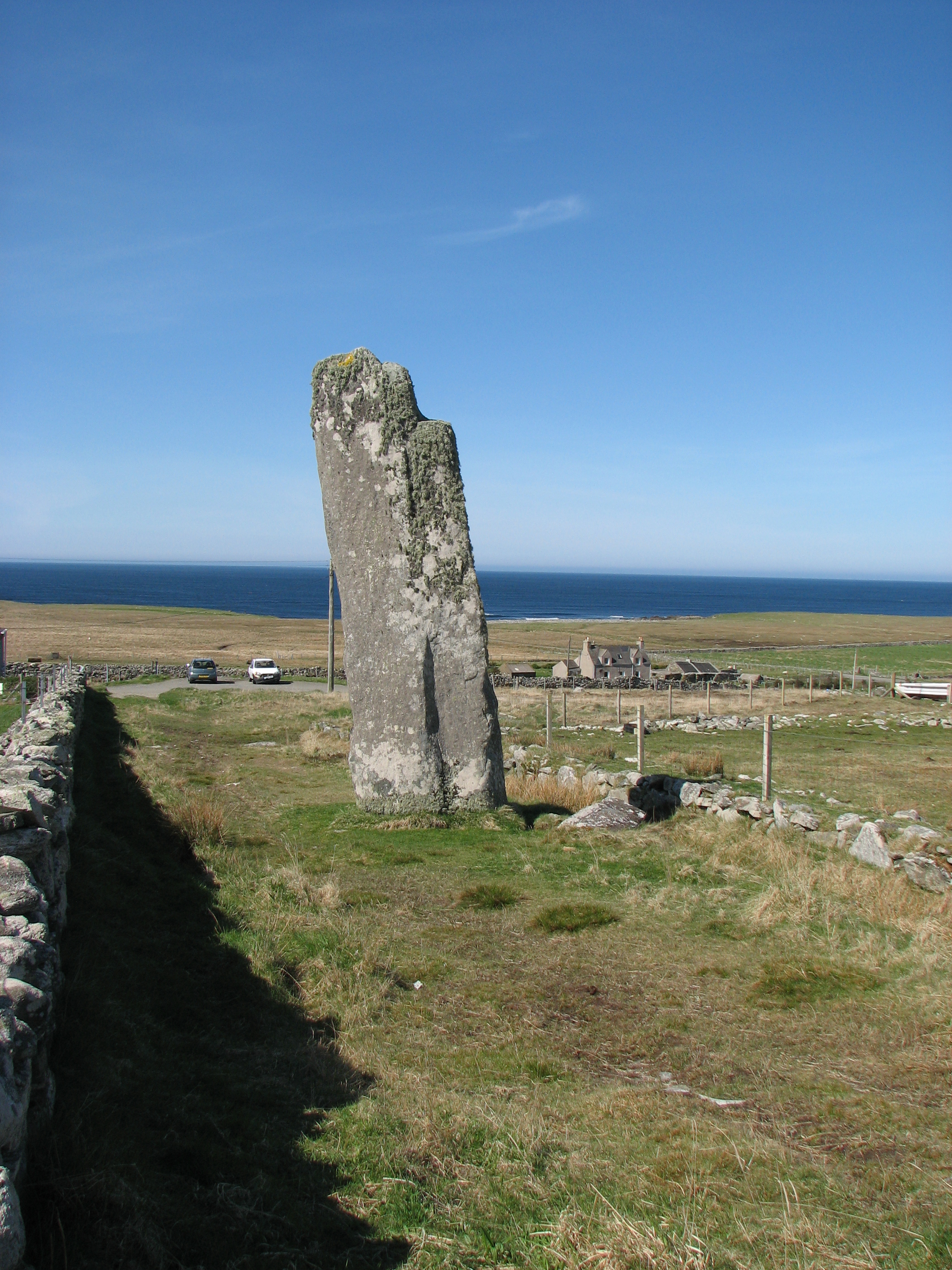
Clach Stei Lin, located in Ross-shire, Scotland, is a significant heritage site that has attracted visitors for centuries. Also known as the "Stone of the Stone Enclosure," this historic landmark is a standing stone surrounded by a circular stone enclosure. It is believed to have been erected during the Neolithic period, around 3,000 to 2,500 BC.

The main feature of Clach Stei Lin is the impressive standing stone, which measures approximately 3.5 meters in height. It is made of local sandstone and stands upright on a natural mound. The stone enclosure surrounding it is circular and measures about 9 meters in diameter. The stones that make up the enclosure are smaller and form a neat and uniform circle.

The purpose and significance of Clach Stei Lin remain unknown, as there are no written records or inscriptions to provide clues about its original function. However, it is widely believed to have had ceremonial or religious purposes, possibly being a ritual site for the Neolithic communities in the region.

Today, Clach Stei Lin is a protected heritage site and attracts visitors interested in ancient history, archaeology, and the Neolithic era. The site offers a glimpse into the prehistoric past of Ross-shire and provides a unique opportunity for visitors to appreciate the craftsmanship and engineering skills of the Neolithic people who constructed it.

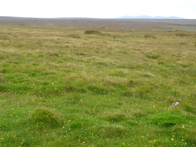
Visitors to Clach Stei Lin can explore the site and learn about its historical context through information boards and guided tours. The surrounding landscape offers a tranquil setting, allowing visitors to immerse themselves in the ancient atmosphere of this fascinating heritage site.

If you have any feedback on the listing, please let us know in the comments section below.

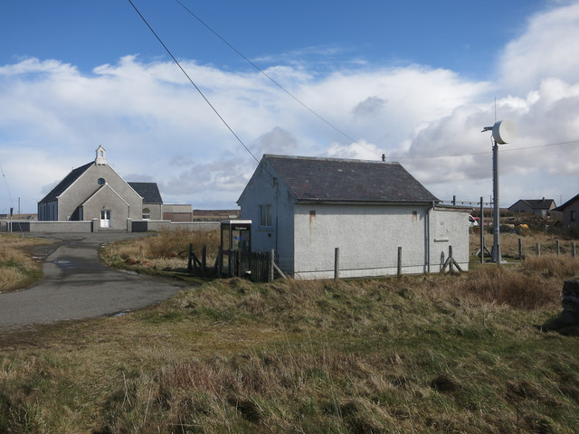
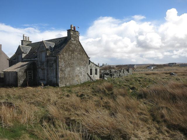
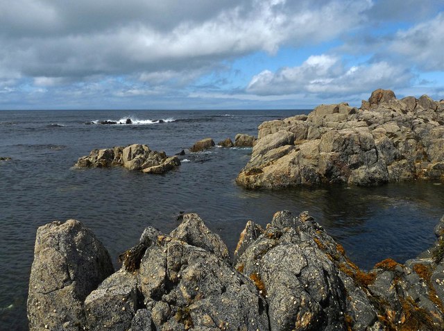
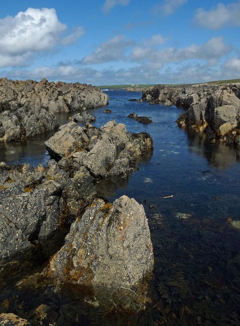
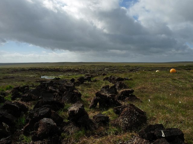
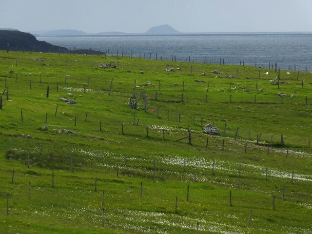
Clach Stei Lin Images

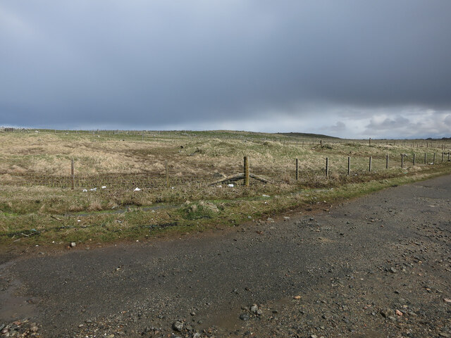
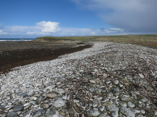
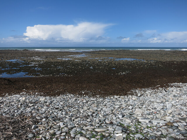
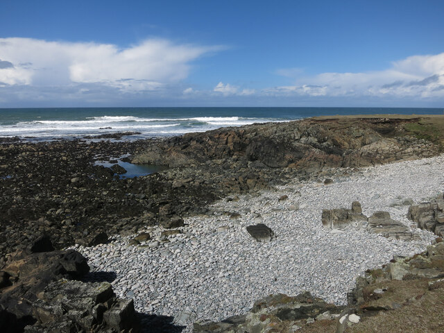
Images are sourced within 2km of 58.402/-6.46 or Grid Reference NB3954. Thanks to Geograph Open Source API. All images are credited.

Fields at Siadar
Fields at Siadar
Upper beach near Siadar Exposed Atlantic coast.
Upper beach near Siadar
Exposed Atlantic coast.
Mol Eire Exposed Atlantic coast.
Mol Eire
Exposed Atlantic coast.
Rubha Bhlanisgaidh
Rubha Bhlanisgaidh
Borve Free Church
Borve Free Church
Empty house, Borve
Empty house, Borve
Cladach Lag na Greine, Isle of Lewis The entry for Cladach Lag na Greine in the OS Name Book of 1848-1852 reads, "A portion of shore between high and low water mark which is composed of shelving rock, boulders and shingle.  Signifies Shore of Sunny Hollow".
Cladach Lag na Greine, Isle of Lewis
The entry for Cladach Lag na Greine in the OS Name Book of 1848-1852 reads, "A portion of shore between high and low water mark which is composed of shelving rock, boulders and shingle. Signifies Shore of Sunny Hollow".
Cladach Lag na Greine, Isle of Lewis The entry for Cladach Lag na Greine in the OS Name Book of 1848-1852 reads, "A portion of shore between high and low water mark which is composed of shelving rock, boulders and shingle. Signifies Shore of Sunny Hollow".
Cladach Lag na Greine, Isle of Lewis
The entry for Cladach Lag na Greine in the OS Name Book of 1848-1852 reads, "A portion of shore between high and low water mark which is composed of shelving rock, boulders and shingle. Signifies Shore of Sunny Hollow".
Peat cutting, Mula o' Thuath, Isle of Lewis The OS Name Book of 1848-1852 describes Mula o' Thuath as, "a long mossy pasture ridge or hill extending along the west margin of Gleann Sheadair through which is a cattle road".
Peat cutting, Mula o' Thuath, Isle of Lewis
The OS Name Book of 1848-1852 describes Mula o' Thuath as, "a long mossy pasture ridge or hill extending along the west margin of Gleann Sheadair through which is a cattle road".
Croftland, Cuivatotar, Isle of Lewis The OS Name Book of 1848-1852 describes this land as, "a low, arable hill, on the sea-shore, at the north end of Seadair Iochdrach. There are a good number of ruins upon it. It produces tolerably good crops, though full of small rocks".
Croftland, Cuivatotar, Isle of Lewis
The OS Name Book of 1848-1852 describes this land as, "a low, arable hill, on the sea-shore, at the north end of Seadair Iochdrach. There are a good number of ruins upon it. It produces tolerably good crops, though full of small rocks".
Coach roof, Gleann Shiadair, Isle of Lewis It took me a couple of minutes to work out what this was until I recognised the air vents similar to those in the bus on which I used to go to school.  No air conditioning back then!
Coach roof, Gleann Shiadair, Isle of Lewis
It took me a couple of minutes to work out what this was until I recognised the air vents similar to those in the bus on which I used to go to school. No air conditioning back then!
Siadar Uarach
Siadar Uarach
The A857 through Shader
Moorland south of Steinacleit Typical of much of the interior of the Isle of Lewis. The mountains of Harris on the skyline.
Moorland south of Steinacleit
Typical of much of the interior of the Isle of Lewis. The mountains of Harris on the skyline.
Steinacleit and Loch an Dùin The best guess is that the stones of Steinacleit are the ruins of a prehistoric settlement rather than a ritual stone circle. The village of Siadar in the distance.
Steinacleit and Loch an Dùin
The best guess is that the stones of Steinacleit are the ruins of a prehistoric settlement rather than a ritual stone circle. The village of Siadar in the distance.
Fence, Neidealan, Isle of Lewis The track runs between the village of Siadar/Shader and moorland peat cutting areas.
Fence, Neidealan, Isle of Lewis
The track runs between the village of Siadar/Shader and moorland peat cutting areas.
Broch or dun in Loch An Duin This small artificial island may be the remains of a broch or dun. <span class="nowrap"><a title="https://canmore.org.uk/site/4279/lewis-siadar-loch-an-duin" rel="nofollow ugc noopener" href="https://canmore.org.uk/site/4279/lewis-siadar-loch-an-duin">Link</a><img style="margin-left:2px;" alt="External link" title="External link - shift click to open in new window" src="https://s1.geograph.org.uk/img/external.png" width="10" height="10"/></span>
Broch or dun in Loch An Duin
This small artificial island may be the remains of a broch or dun. LinkExternal link
Show me another place!

Clach Stei Lin is located at Grid Ref: NB3954 (Lat: 58.402, Lng: -6.46)

Unitary Authority: Na h-Eileanan an Iar

Police Authority: Highlands and Islands

What 3 Words

///desiring.stockpile.gears. Near North Tolsta, Na h-Eileanan Siar

Related Wikis

Steinacleit

Steinacleit is a prehistoric archeological site on the west coast of Lewis in the Outer Hebrides of Scotland. The site consists of an array of boulders...

Baile an Truiseil

Ballantrushal (Scottish Gaelic: Baile an Truiseil) is a village on the Isle of Lewis in the West Side district, in the Outer Hebrides, Scotland. Ballantrushal...

Borve, Lewis

Borve (Scottish Gaelic: Borgh) is a village on the west side of the Isle of Lewis in Scotland, 17 miles (27 kilometres) from the island's only town, Stornoway...

Clach an Trushal

Clach an Trushal (Scottish Gaelic: Clach an Truiseil, Scottish Gaelic pronunciation: [kʰl̪ˠax ən̪ˠ ˈt̪ʰɾuʃal], translated to English "Stone of Compassion...

Nearby Amenities

Located within 500m of 58.402,-6.46
Passing Place
Lat/Long: 58.405002/-6.4663387
Bus Stop
Shader
Naptan AtcoCode: 6010731801
Naptan Bearing: NE
Naptan CommonName: Shader
Naptan Indicator: Airidhantuim School
Naptan Landmark: Airidhantuim School
Naptan NaptanCode: 94724246
Naptan Street: Airidhantuim School
Naptan Verified: no
Source: naptan_import
Lat/Long: 58.403469/-6.4621255
Post Box
Collection Times: Mo-Fr 10:45; Sa 10:45
Operator: Royal Mail
Post Box Type: lamp
Ref: HS2 164
Royal Cypher: scottish_crown
Source: survey
Lat/Long: 58.403635/-6.4614581
Man Made: mast
Lat/Long: 58.4011962/-6.4622683
Power: pole
Lat/Long: 58.403006/-6.4675704
Power: pole
Lat/Long: 58.4036229/-6.4665511
Power: pole
Lat/Long: 58.4040895/-6.4658001
Power: pole
Lat/Long: 58.4047935/-6.4646226
Power: pole
Lat/Long: 58.4050465/-6.4641023
Power: pole
Lat/Long: 58.4055088/-6.4630803
Power: pole
Lat/Long: 58.4061172/-6.4618197
Power: pole
Lat/Long: 58.4005093/-6.4677345
Power: pole
Lat/Long: 58.4026525/-6.463504
Power: pole
Lat/Long: 58.402874/-6.4635827
Power: pole
Lat/Long: 58.4032656/-6.4637474
Power: pole
Lat/Long: 58.4037614/-6.4623683
Power: pole
Lat/Long: 58.4036944/-6.4625281
Power: pole
Lat/Long: 58.403424/-6.4631304
Power: pole
Lat/Long: 58.4026164/-6.4652075
Power: pole
Lat/Long: 58.40244/-6.4656156
Power: pole
Lat/Long: 58.4021811/-6.4661637
Power: pole
Lat/Long: 58.4019415/-6.4666824
Power: pole
Lat/Long: 58.4016724/-6.4672453
Power: pole
Lat/Long: 58.4013607/-6.4678918
Power: pole
Lat/Long: 58.4011211/-6.4684204
Power: pole
Lat/Long: 58.4040808/-6.4629804
Power: pole
Lat/Long: 58.4044144/-6.4633663
Power: pole
Lat/Long: 58.4047673/-6.4637646
Power: pole
Lat/Long: 58.4051343/-6.4641947
Power: pole
Lat/Long: 58.405567/-6.4646643
Power: pole
Lat/Long: 58.4058916/-6.4640178
Power: pole
Lat/Long: 58.4053597/-6.4653771
Power: pole
Lat/Long: 58.4043474/-6.4613506
Power: pole
Lat/Long: 58.4052/-6.4615817
Power: pole
Lat/Long: 58.4058916/-6.4617759
Barrier: cattle_grid
Lat/Long: 58.4041465/-6.4597425
Barrier: cattle_grid
Lat/Long: 58.4009434/-6.4676178
Barrier: cattle_grid
Lat/Long: 58.4011443/-6.4673308
Barrier: cattle_grid
Lat/Long: 58.4027926/-6.4632376
The data included in this document is from www.openstreetmap.org. The data is made available under ODbL.

Have you been to Clach Stei Lin?

Leave your review of Clach Stei Lin below (or comments, questions and feedback).