Church House
Heritage Site in Somerset Somerset West and Taunton
England
Church House
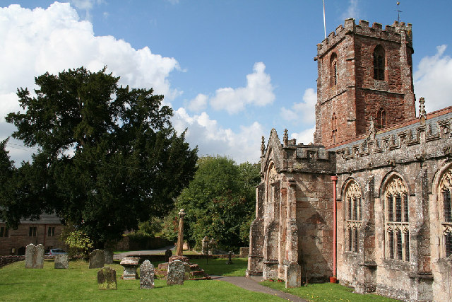
Church House is a historic building located in the village of Somerset, England. It is a Grade II listed heritage site and is known for its architectural significance and historical value. The house dates back to the 15th century and is believed to have been originally built as a medieval rectory.
The building is constructed using local stone and features a traditional thatched roof, giving it a charming and rustic appearance. It is a fine example of medieval architecture and showcases the craftsmanship of the era. The house has undergone several alterations and renovations over the centuries, but still retains many of its original features.
Church House is of great historical importance as it has served various purposes throughout its existence. It has been used as a rectory, a school, and even a meeting place for the local community. The interior of the house features exposed timber beams, fireplaces, and other architectural details that provide a glimpse into its rich history.
The house is surrounded by a well-maintained garden and is located adjacent to the village church, adding to its historical and cultural significance. Today, Church House is open to the public and serves as a museum, showcasing artifacts, photographs, and documents that tell the story of the local community and the house itself.
Visitors to Church House can explore its rooms, admire its architecture, and learn about the history of the building and the village it resides in. It is a popular destination for history enthusiasts, architectural enthusiasts, and those interested in the local heritage of Somerset.
If you have any feedback on the listing, please let us know in the comments section below.
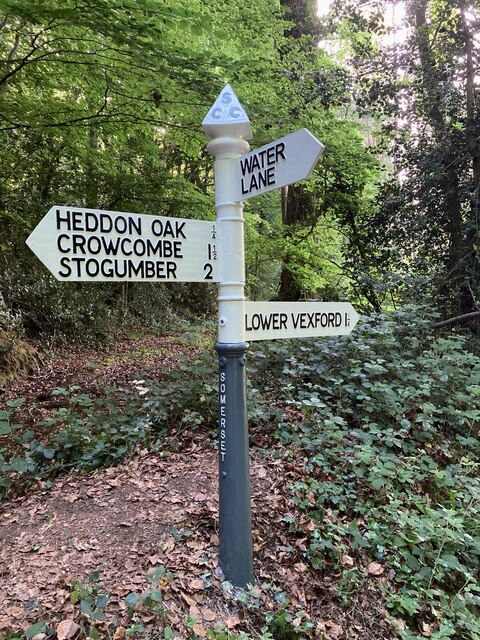
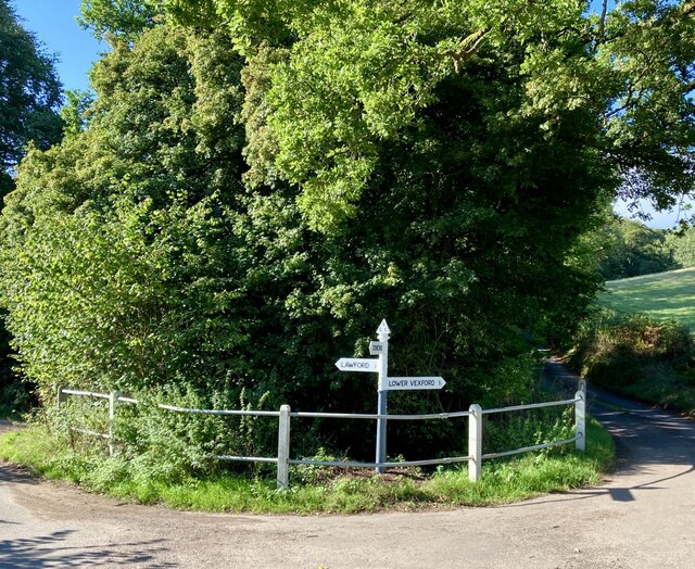
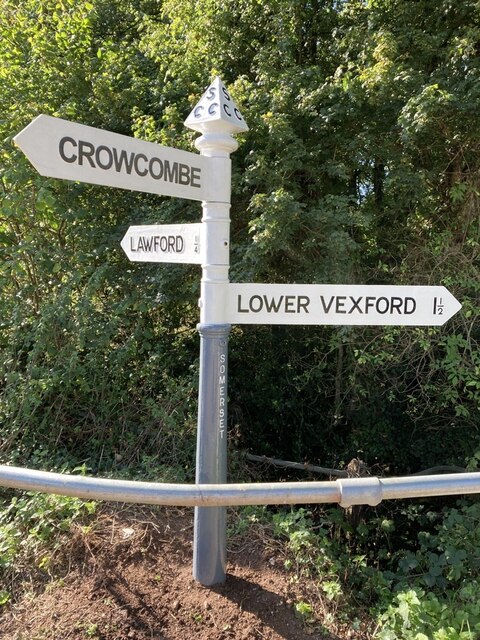
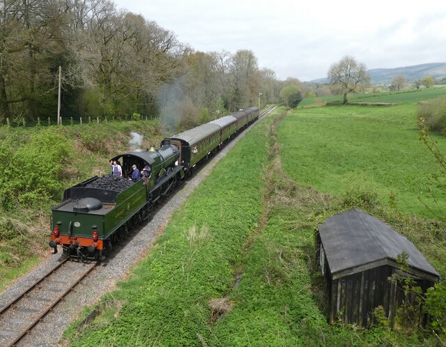
Church House Images
Images are sourced within 2km of 51.12/-3.235 or Grid Reference ST1336. Thanks to Geograph Open Source API. All images are credited.


Church House is located at Grid Ref: ST1336 (Lat: 51.12, Lng: -3.235)
Administrative County: Somerset
District: Somerset West and Taunton
Police Authority: Avon and Somerset
What 3 Words
///fails.grandest.ranking. Near Nether Stowey, Somerset
Nearby Locations
Related Wikis

Crowcombe Court
Crowcombe Court in Crowcombe, Somerset, England is a large country house dating from 1724 to 1739. It is Grade I listed.It was built, in English regional...
Crowcombe
Crowcombe is a village and civil parish under the Quantock Hills in Somerset, England, 5.5 miles (9 km) southeast of Watchet, and 8 miles (13 km) from...

Roebuck Meadows
Roebuck Meadows (grid reference ST132354) is a 3.6 hectare (8.9 acre) biological Site of Special Scientific Interest south of Crowcombe in Somerset, notified...

Halsway Manor
Halsway Manor (also known as Halsway Court) is a manor house in Halsway, Somerset. It is owned by the Halsway Manor Society who operate the manor as a...

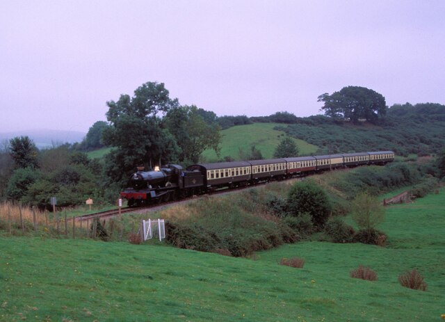
Crowcombe Heathfield railway station
Crowcombe Heathfield railway station is a station on the West Somerset Railway, a heritage railway in Somerset, England. It is situated 2 miles (3.2 km...

Quantock Hills
The Quantock Hills west of Bridgwater in Somerset, England, consist of heathland, oak woodlands, ancient parklands and agricultural land. They were England...

Stogumber railway station
Stogumber railway station is a station in Kingswood, Somerset, England which serves the nearby village of Stogumber. It was opened by the West Somerset...
Dead Woman's Ditch
Dead Woman's Ditch is an earthwork which has been scheduled as an ancient monument in Over Stowey, Somerset, England situated on the Quantock Hills. A...
Nearby Amenities
Located within 500m of 51.12,-3.235Have you been to Church House?
Leave your review of Church House below (or comments, questions and feedback).