Charlwood House

Heritage Site in Surrey Crawley

England

Charlwood House

Gatwick Beehive Original 1930s Circular Airport Terminal. The airport was re-built approximately 1/2 mile to the north in the 1950s. The "Beehive" is now used as offices
Gatwick Beehive Credit: Michael of Crawley

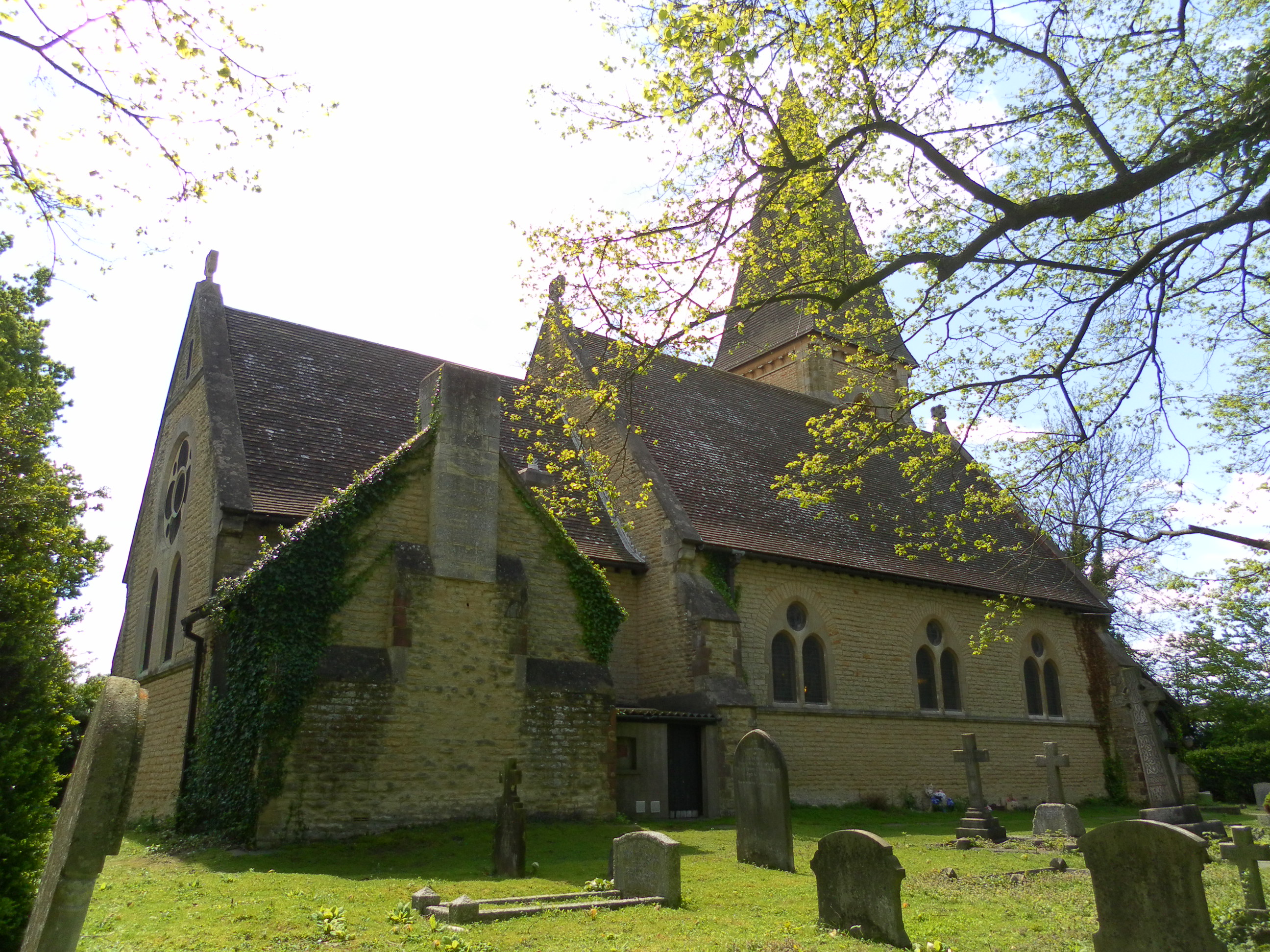
Charlwood House, located in Surrey, England, is a historic heritage site that holds significant architectural and cultural importance. The house, believed to have been built in the early 17th century, is a fine example of Jacobean architecture. It is a Grade II* listed building, which means it is recognized for its exceptional architectural and historical significance.

The house boasts a symmetrical facade with red brickwork and a steep tiled roof. The interior features intricate woodwork, ornate ceilings, and grand fireplaces, showcasing the craftsmanship of the period. The house has undergone various renovations and extensions over the years, but has managed to retain its original charm and character.

Charlwood House has witnessed several notable residents throughout its history. One of its most famous occupants was Sir Edwin Lutyens, the renowned architect who designed famous landmarks such as the Cenotaph in London. Lutyens lived in the house during the early 20th century and made significant alterations to the property, including the addition of a garden loggia.

Today, Charlwood House is privately owned and not open to the public. However, its exterior can still be admired from a distance, showcasing its architectural splendor. The house stands as a testament to the rich heritage and architectural legacy of Surrey, attracting architecture enthusiasts and historians alike. Its historical significance and exquisite design make it a cherished heritage site in the region.

If you have any feedback on the listing, please let us know in the comments section below.

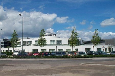
Charlwood House Images

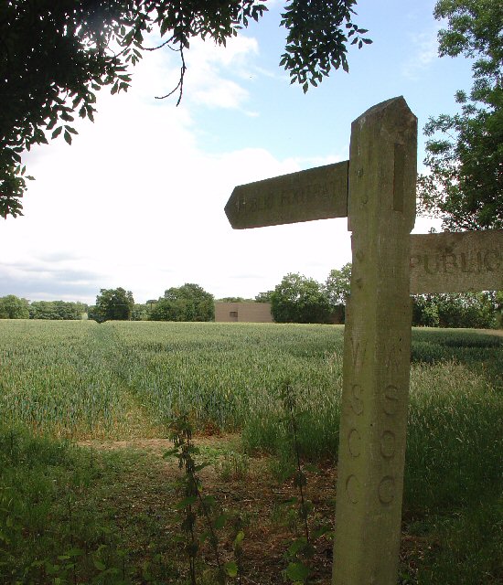
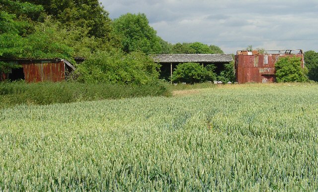
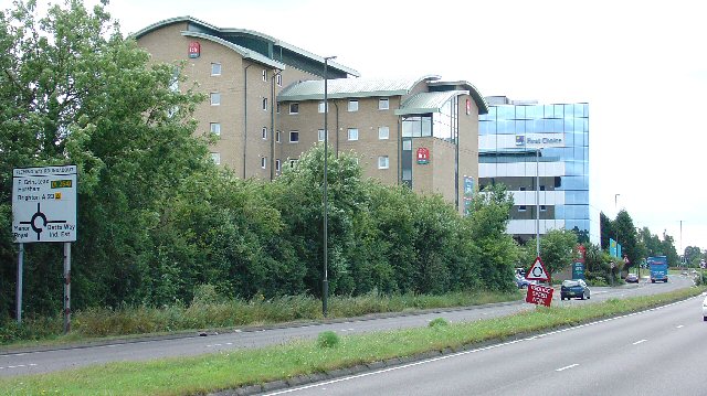
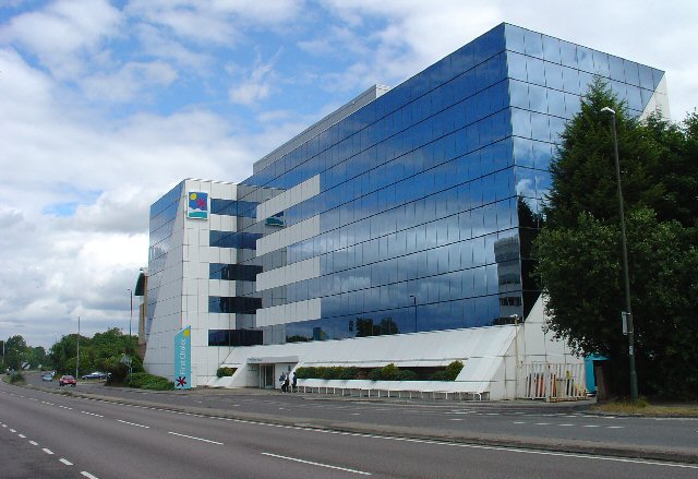
Images are sourced within 2km of 51.14/-0.192 or Grid Reference TQ2639. Thanks to Geograph Open Source API. All images are credited.

Gatwick Beehive Original 1930s Circular Airport Terminal. The airport was re-built approximately 1/2 mile to the north in the 1950s. The "Beehive" is now used as offices
Gatwick Beehive
Original 1930s Circular Airport Terminal. The airport was re-built approximately 1/2 mile to the north in the 1950s. The "Beehive" is now used as offices
Manor Royal Industrial Estate, Crawley, West Sussex - Lunch Time Manor Royal Industrial Estate dominates Grid square TQ2738. The industries are varied and include various types of light to medium weight engineering, pharmaceuticals, administrative head offices, storage, etc. The view here shows one of the many snack bars that are found at strategic points round the estate. Most of the larger premises include on-site catering for employees, but there are many small companies who don't.
Manor Royal Industrial Estate, Crawley, West Sussex - Lunch Time
Manor Royal Industrial Estate dominates Grid square TQ2738. The industries are varied and include various types of light to medium weight engineering, pharmaceuticals, administrative head offices, storage, etc. The view here shows one of the many snack bars that are found at strategic points round the estate. Most of the larger premises include on-site catering for employees, but there are many small companies who don't.
County Oak Retail Park, Crawley, West Sussex The largest of several small retail parks in Crawley that are situated away from the town centre. Carpets, Furniture, Consumer electronics and electrical items, Office supplies, motoring and cycling spares, pet supplies, and a motor vehicle tyre and exhaust replacement service are all represented.
County Oak Retail Park, Crawley, West Sussex
The largest of several small retail parks in Crawley that are situated away from the town centre. Carpets, Furniture, Consumer electronics and electrical items, Office supplies, motoring and cycling spares, pet supplies, and a motor vehicle tyre and exhaust replacement service are all represented.
Astral Towers, County Oak, Crawley, West Sussex The centre of Manor Royal industrial estate contains most of the light and medium industrial premises. Various clusters of administrative offices form satellites surrounding the main estate. One such satellite is at County Oak, just across the A23 trunk road from the main estate. A typical office block is Astral Towers.
Astral Towers, County Oak, Crawley, West Sussex
The centre of Manor Royal industrial estate contains most of the light and medium industrial premises. Various clusters of administrative offices form satellites surrounding the main estate. One such satellite is at County Oak, just across the A23 trunk road from the main estate. A typical office block is Astral Towers.
Pasture between Manor Royal Industrial Estate and Gatwick Airport, Near Crawley, West Sussex "The Atrium" office block in the background is on the extreme fringe of the Manor Royal Industrial Estate. The view has been taken from a public bridleway across a field, looking south. Most of this grid square is comprised of fields such as this. There are currently (2005) plans being discussed for a second runway for Gatwick Airport. One of the options would have the proposed runway in this area.
Pasture between Manor Royal Industrial Estate and Gatwick Airport, Near Crawley, West Sussex
"The Atrium" office block in the background is on the extreme fringe of the Manor Royal Industrial Estate. The view has been taken from a public bridleway across a field, looking south. Most of this grid square is comprised of fields such as this. There are currently (2005) plans being discussed for a second runway for Gatwick Airport. One of the options would have the proposed runway in this area.
Public Footpath across fields between County Oak and Rowley Farm, Near Crawley, West Sussex. One of several long standing public rights of way in this area. This path has been in use since long before the creation of the Manor Royal Industrial Estate, immediately behind the photographer and Gatwick Airport (1.5km N of here). The path cuts diagonally SW-NE across the fields, which are growing wheat. This area is currently (2005) being suggested as a possible location for a second runway for Gatwick International Airport.
Public Footpath across fields between County Oak and Rowley Farm, Near Crawley, West Sussex.
One of several long standing public rights of way in this area. This path has been in use since long before the creation of the Manor Royal Industrial Estate, immediately behind the photographer and Gatwick Airport (1.5km N of here). The path cuts diagonally SW-NE across the fields, which are growing wheat. This area is currently (2005) being suggested as a possible location for a second runway for Gatwick International Airport.
Farm buildings near Manor Royal Industrial Estate, Crawley, West Sussex These metal clad farm buildings are in various states of dilapidation, with the central barn still intact. A row of bee hives are set in front of the barn. Wheat is growing in the field. Photo taken (looking N) from the public footpath between County Oak and Rowley Farm, just after emerging out of the Manor Royal Industrial Estate.
Farm buildings near Manor Royal Industrial Estate, Crawley, West Sussex
These metal clad farm buildings are in various states of dilapidation, with the central barn still intact. A row of bee hives are set in front of the barn. Wheat is growing in the field. Photo taken (looking N) from the public footpath between County Oak and Rowley Farm, just after emerging out of the Manor Royal Industrial Estate.
Ibis Hotel, County Oak, Crawley West Sussex. A typical airport hotel, approximately 1.5km (straight line) from Gatwick airport. On the extreme N fringe of the Manor Royal industrial estate.
Ibis Hotel, County Oak, Crawley West Sussex.
A typical airport hotel, approximately 1.5km (straight line) from Gatwick airport. On the extreme N fringe of the Manor Royal industrial estate.
First Choice Holidays plc HQ, County Oak, Crawley, West Sussex The administrative headquarters of First Choice Holidays plc, a holiday company. This office block is situated in the extreme SW corner of the grid square and is on the north western edge of the Manor Royal industrial estate. Most of the square is farmland, with the A23 trunk road sweeping through the W edge and a few hotels adjacent to the road.
First Choice Holidays plc HQ, County Oak, Crawley, West Sussex
The administrative headquarters of First Choice Holidays plc, a holiday company. This office block is situated in the extreme SW corner of the grid square and is on the north western edge of the Manor Royal industrial estate. Most of the square is farmland, with the A23 trunk road sweeping through the W edge and a few hotels adjacent to the road.
Sainsbury's Supermarket, West Green, Crawley, West Sussex A (slightly) out of town superstore. Approximately 1km N of the town centre, this superstore is located close to a major road intersection between the A23 and the A2011 dual carriageway to the M23 motorway. Accessibility is one of the main reasons for this location. The site also includes a Homebase (Do-it-Yourself & Gardening) store and a drive through McDonald's (fast food).
Sainsbury's Supermarket, West Green, Crawley, West Sussex
A (slightly) out of town superstore. Approximately 1km N of the town centre, this superstore is located close to a major road intersection between the A23 and the A2011 dual carriageway to the M23 motorway. Accessibility is one of the main reasons for this location. The site also includes a Homebase (Do-it-Yourself & Gardening) store and a drive through McDonald's (fast food).
McDonald's Drive Through Fast Food Outlet, West Green, Crawley, West Sussex All for the convenience of the out of town shopper! On the same site as Sainsbury's Supermarket and the Homebase DIY store.
McDonald's Drive Through Fast Food Outlet, West Green, Crawley, West Sussex
All for the convenience of the out of town shopper! On the same site as Sainsbury's Supermarket and the Homebase DIY store.
Gatwick Road, Manor Royal Industrial Estate, Crawley, West Sussex The Manor Royal industrial estate is centred on TQ2738, but also spreads over about a third of this grid square. A feature here is the bridge over the main road linking two buildings belonging to the same organisation. The road building works are connected with the installation of the "Fastway" guided bus network throughout Crawley.
Gatwick Road, Manor Royal Industrial Estate, Crawley, West Sussex
The Manor Royal industrial estate is centred on TQ2738, but also spreads over about a third of this grid square. A feature here is the bridge over the main road linking two buildings belonging to the same organisation. The road building works are connected with the installation of the "Fastway" guided bus network throughout Crawley.
Radar, Tinsley Green, Crawley, West Sussex A Radar adjacent to Gatwick airport.
Radar, Tinsley Green, Crawley, West Sussex
A Radar adjacent to Gatwick airport.
Manor Royal Industrial Estate - Back Streets Some of the smaller premises on the industrial estate have  not changed for many years. Here we see some typical examples of older units (1950s style). A characteristic common throughout the estate is the curvy roof with overhead skylights.
Manor Royal Industrial Estate - Back Streets
Some of the smaller premises on the industrial estate have not changed for many years. Here we see some typical examples of older units (1950s style). A characteristic common throughout the estate is the curvy roof with overhead skylights.
Runway lights at the Western end of Gatwick Airport. Disappearing into a field of oilseed rape. The boundary between airport and countryside gets blurred here. A plane has just taken off - can be seen top right. Viewed from the airport perimeter road looking west.
Runway lights at the Western end of Gatwick Airport.
Disappearing into a field of oilseed rape. The boundary between airport and countryside gets blurred here. A plane has just taken off - can be seen top right. Viewed from the airport perimeter road looking west.
Telecom Mast, Ifield, Crawley, West Sussex On the outskirts of this neighbourhood of Crawley, and fairly close to Gatwick (an aircraft can be seen near the top of the street lamp).
Telecom Mast, Ifield, Crawley, West Sussex
On the outskirts of this neighbourhood of Crawley, and fairly close to Gatwick (an aircraft can be seen near the top of the street lamp).
Popes Mead Bowling Green, Ifield, Crawley, West Sussex. Popes Mead used to be located closer to the centre of Crawley, but was relocated here (on the outskirts) when the town centre site was redeveloped as a leisure park.
Popes Mead Bowling Green, Ifield, Crawley, West Sussex.
Popes Mead used to be located closer to the centre of Crawley, but was relocated here (on the outskirts) when the town centre site was redeveloped as a leisure park.
Flight Tavern, Charlwood Road, Near Crawley, West Sussex Very close to the gatwick runway. A popular lunch time pub for Crawley workers.
Flight Tavern, Charlwood Road, Near Crawley, West Sussex
Very close to the gatwick runway. A popular lunch time pub for Crawley workers.
Show me another place!

Charlwood House is located at Grid Ref: TQ2639 (Lat: 51.14, Lng: -0.192)

Administrative County: West Sussex

District: Crawley

Police Authority: Sussex

What 3 Words

///duty.dollar.worm. Near Langley Green, West Sussex

Related Wikis

Langley Green & West Green (electoral division)

Langley Green & West Green is an electoral division of West Sussex in the United Kingdom, and returns one member to sit on West Sussex County Council....

Brook House Immigration Removal Centre

Brook House Immigration Removal Centre is a privately managed detention centre, operated by Serco on behalf of Home Office. The facility is situated in...

Gatwick Airport drone incident

Between 19 and 21 December 2018, hundreds of flights were cancelled at Gatwick Airport near London, England, following reports of drone sightings close...
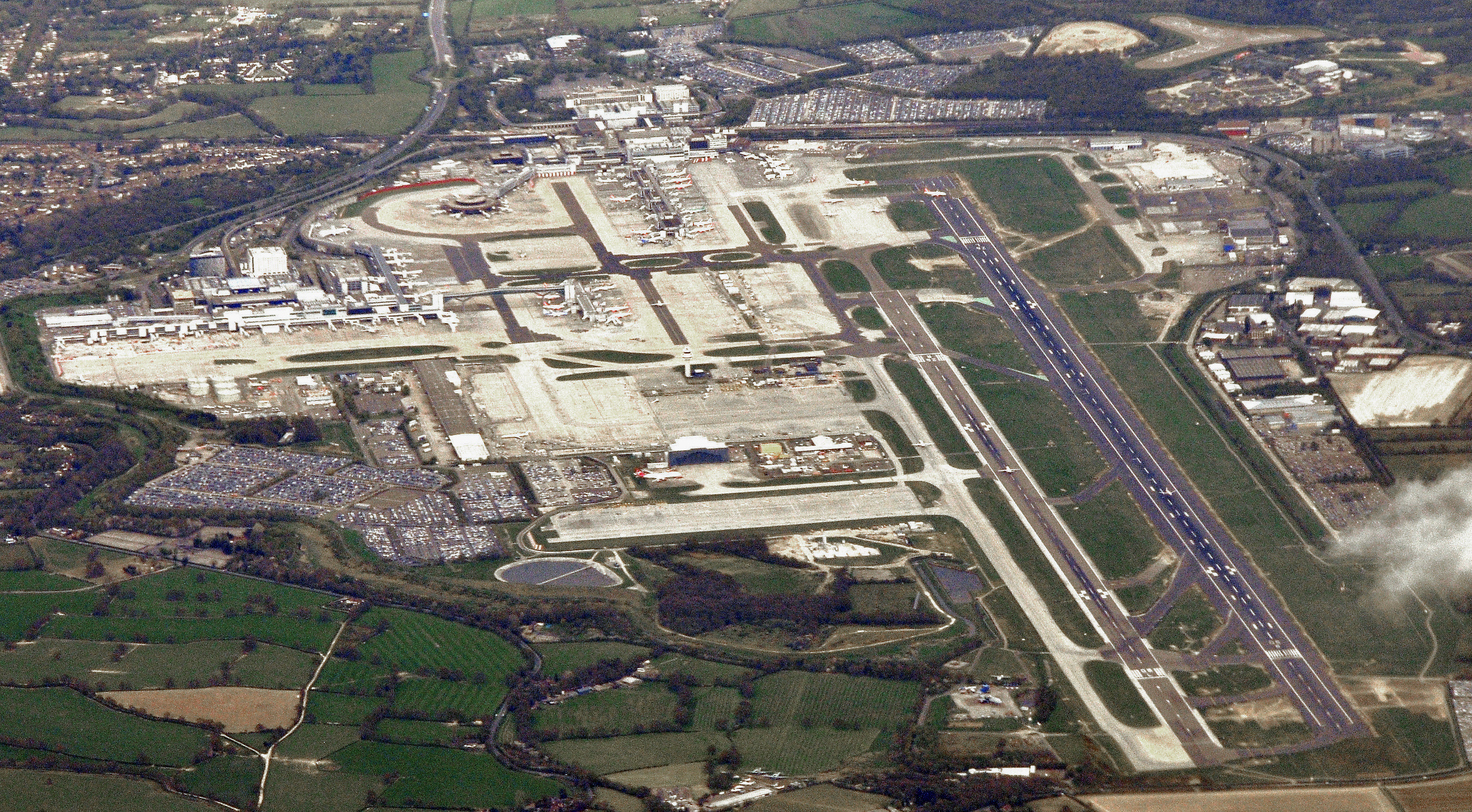
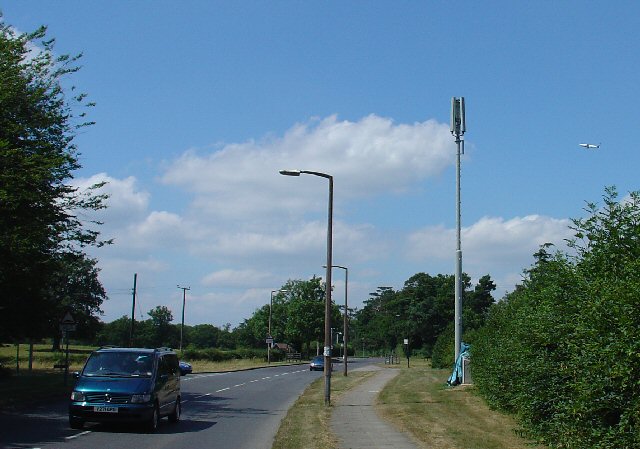
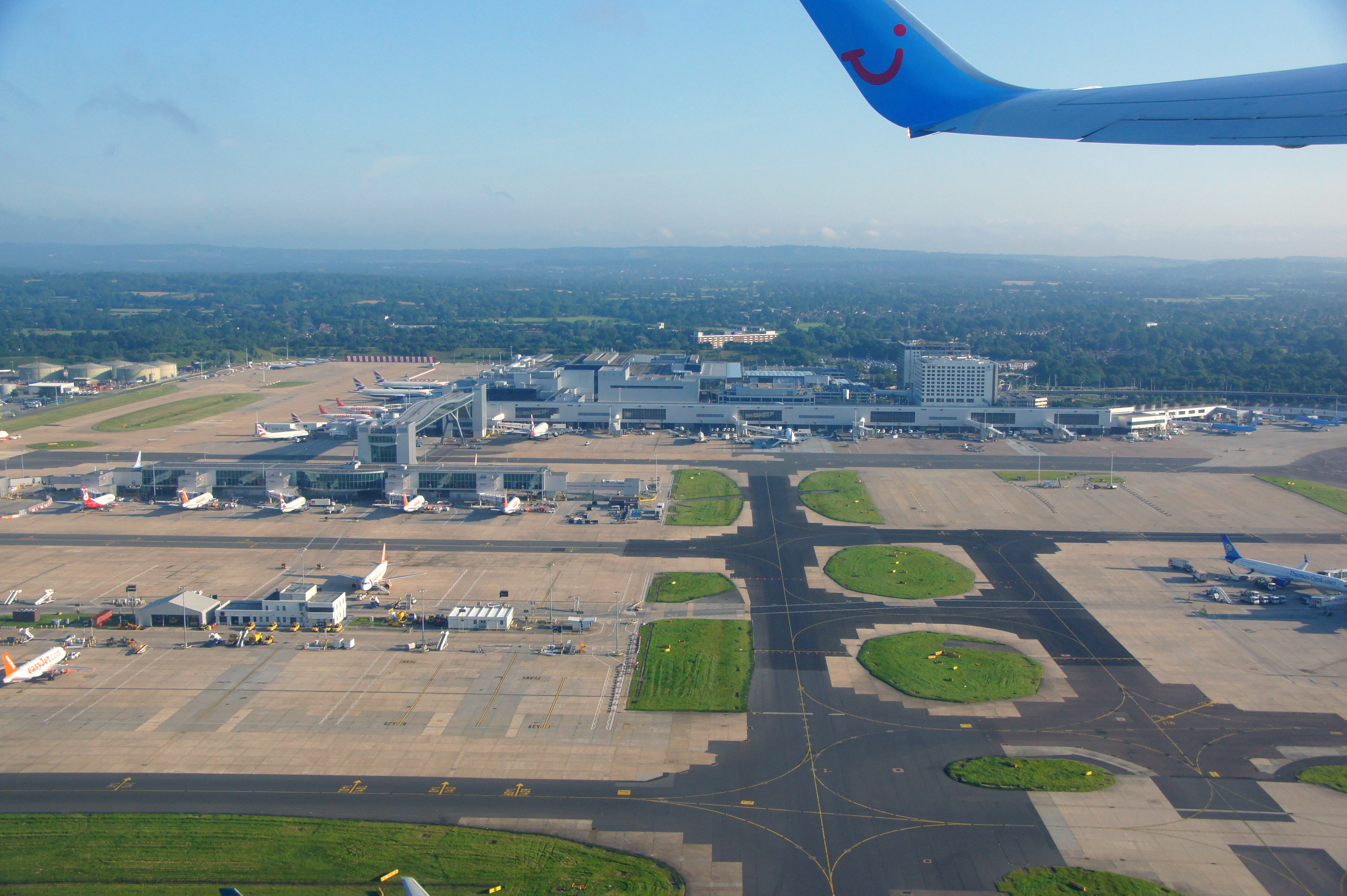
Gatwick Airport

London Gatwick (), also known as Gatwick Airport (IATA: LGW, ICAO: EGKK), is the secondary international airport serving London, England, United Kingdom...
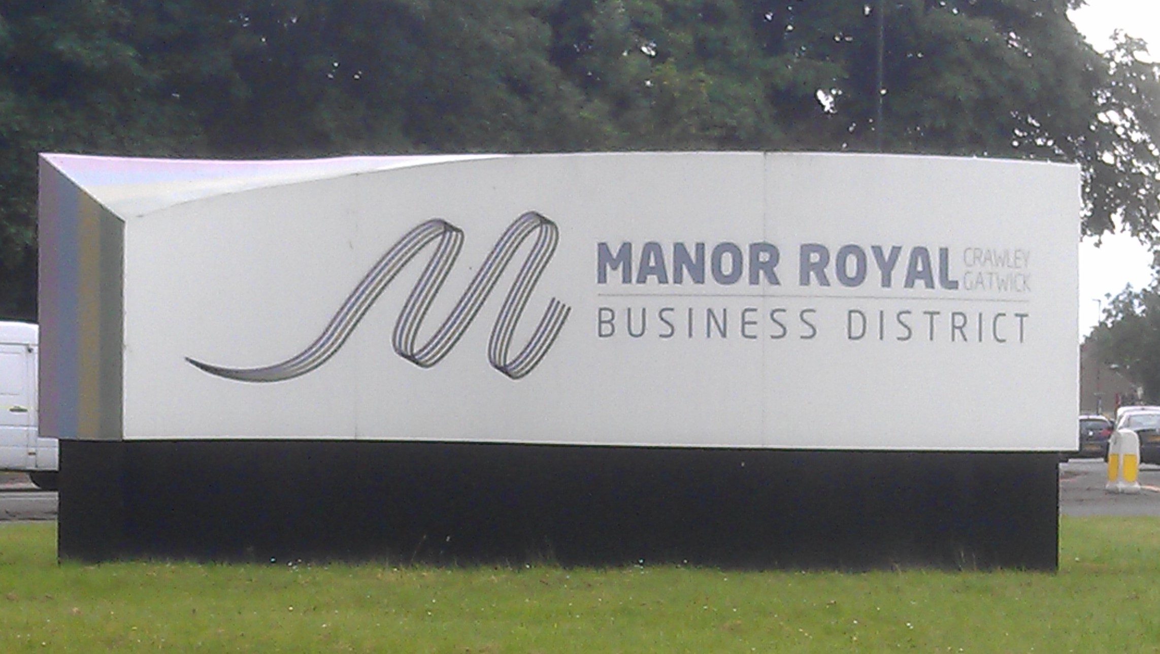
Manor Royal

Manor Royal is an industrial zone within the town of Crawley in West Sussex, England. Manor Royal is in the north of the town near to Gatwick Airport....

Langley Green, West Sussex

Langley Green is a one of 14 neighbourhoods within the town of Crawley in West Sussex, England. Langley Green is in the north-west of the town and is bordered...

Lowfield Heath

Lowfield Heath is a former village within the boundaries of the Borough of Crawley, West Sussex, England. Situated on the main London to Brighton road...

St Michael and All Angels Church, Lowfield Heath

St Michael and All Angels Church is a church in Lowfield Heath, a depopulated former village in the Borough of Crawley, West Sussex, England. Built by...

Nearby Amenities

Located within 500m of 51.14,-0.192
Source: www.npemap.org.uk
Uk Postcode Centroid: RH17
Lat/Long: 51.136256/-0.195478
Bus Stop
Gatwick Manor Hotel
Bus: yes
Naptan AtcoCode: 4400CY0310
Naptan Bearing: S
Naptan CommonName: Gatwick Manor Hotel
Naptan Indicator: adj
Naptan Landmark: Gatwick Manor Hotel
Naptan NaptanCode: wsxamdwp
Naptan PlusbusZoneRef: CRAWLEY
Naptan ShortCommonName: Gatwick Manor Hotel
Naptan Street: London Road
Naptan Verified: no
Public Transport: platform
Source: naptan_import
Lat/Long: 51.1391979/-0.1850277
Bus Stop
Gatwick Manor Hotel
Bench: no
Bin: no
Bus: yes
Naptan AtcoCode: 4400CY0313
Naptan Bearing: N
Naptan CommonName: Gatwick Manor Hotel
Naptan Indicator: opp Hotel entrance
Naptan Landmark: Southways Business Park entrance
Naptan NaptanCode: wsxamgag
Naptan PlusbusZoneRef: CRAWLEY
Naptan ShortCommonName: Gatwick Manor Hotel
Naptan Street: London Road
Naptan Verified: yes
Public Transport: platform
Shelter: no
Source: naptan_import
Lat/Long: 51.1393585/-0.1853974
Barrier: lift_gate
Lat/Long: 51.1358499/-0.1894789
Barrier: lift_gate
Lat/Long: 51.1362296/-0.1905902
Entrance: yes
Lat/Long: 51.1360177/-0.1900983
Entrance: yes
Lat/Long: 51.1358936/-0.1901234
Crossing
Crossing: marked
Crossing Markings: zebra
Lat/Long: 51.1359433/-0.1900977
Spikemead Farm
Place: isolated_dwelling
Lat/Long: 51.1416786/-0.1954304
Ditsworthy Farm
Place: farm
Lat/Long: 51.1403912/-0.1953455
Addr Housename: Ditsworthy (ruin)
Lat/Long: 51.1410205/-0.1940708
Little Dell
Place: farm
Lat/Long: 51.137881/-0.1890316
The data included in this document is from www.openstreetmap.org. The data is made available under ODbL.

Have you been to Charlwood House?

Leave your review of Charlwood House below (or comments, questions and feedback).