Castlesteads
Heritage Site in Westmorland Eden
England
Castlesteads
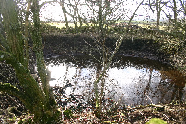
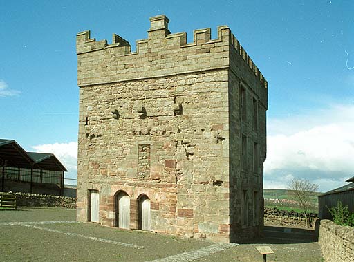
Castlesteads is a heritage site located in Westmorland, a historic county in the northwestern region of England. Situated on the banks of the River Eden, Castlesteads is an ancient Roman fort with a rich history dating back to the 2nd century AD. The fort was strategically positioned to guard the Roman road leading from York to Carlisle.
Covering an area of approximately five acres, Castlesteads was constructed with turf and timber, typical of Roman forts during that era. The fort was initially home to a cavalry unit known as the Ala Petriana, which played a crucial role in maintaining peace and order in the northern frontier of the Roman Empire.
The remains of Castlesteads provide valuable insights into the daily lives of the Roman soldiers stationed there. Visitors can explore the well-preserved foundations of the fort's various buildings, including barracks, stables, granaries, and a commandant's house. The fort's defensive features, such as its ditches and walls, can also be observed.
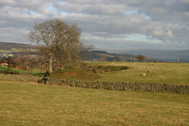
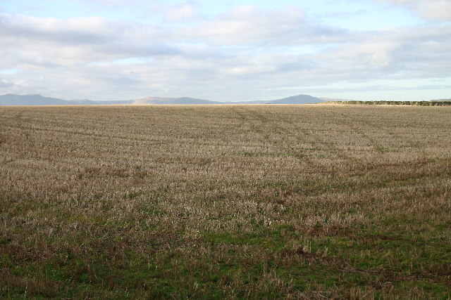
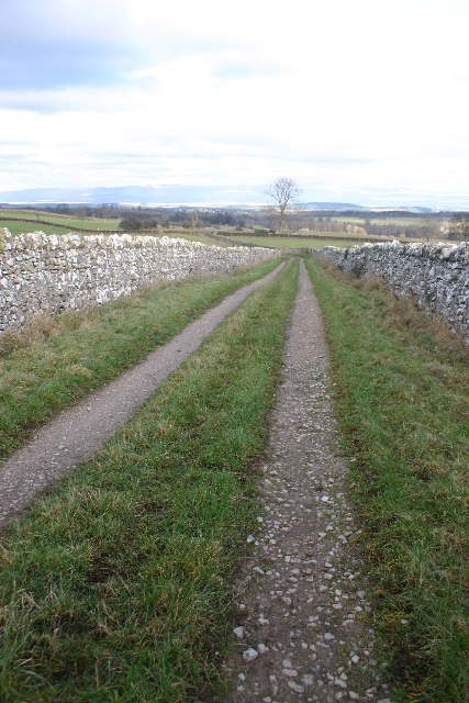
In addition to its historical significance, Castlesteads offers breathtaking views of the surrounding countryside, with the River Eden meandering through the landscape. The site is a haven for nature enthusiasts, providing opportunities for walking and birdwatching.
Castlesteads is managed and maintained by English Heritage, ensuring its preservation for future generations. The site offers educational programs and guided tours, allowing visitors to delve deeper into the history and significance of this Roman fort. With its captivating ruins and picturesque setting, Castlesteads is a must-visit destination for history buffs and nature lovers alike.
If you have any feedback on the listing, please let us know in the comments section below.
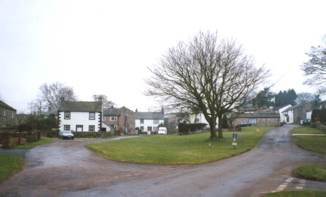
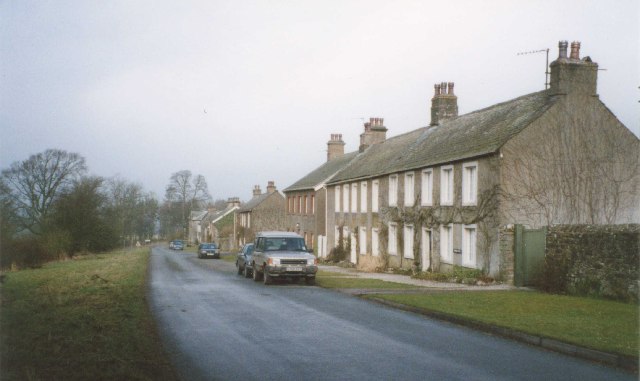
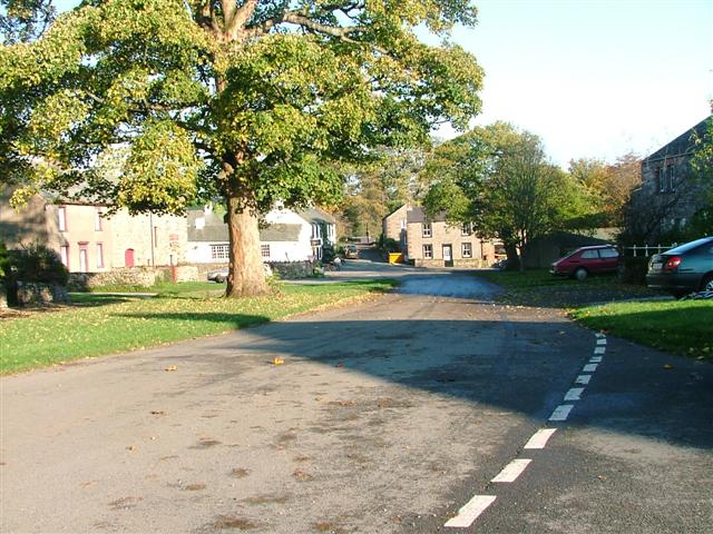
Castlesteads Images
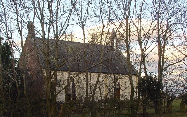
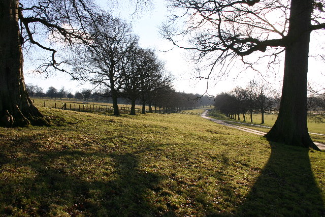
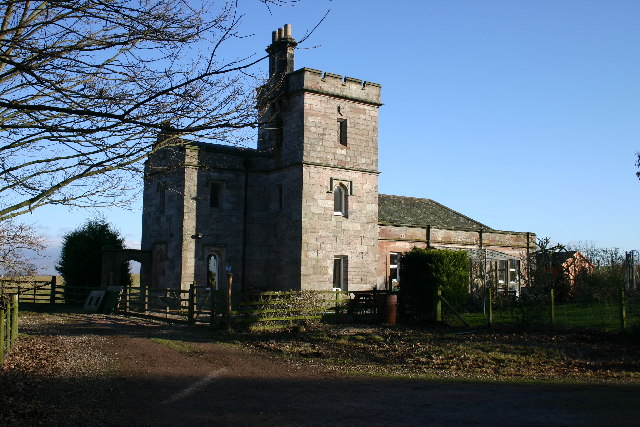
Images are sourced within 2km of 54.622/-2.752 or Grid Reference NY5125. Thanks to Geograph Open Source API. All images are credited.


Castlesteads is located at Grid Ref: NY5125 (Lat: 54.622, Lng: -2.752)
Administrative County: Cumbria
District: Eden
Police Authority: Cumbria
What 3 Words
///drummers.pushes.take. Near Penrith, Cumbria
Nearby Locations
Related Wikis

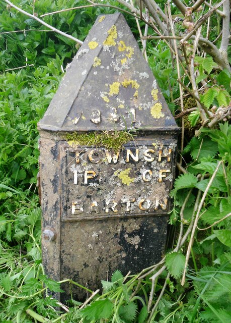
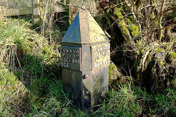
Sockbridge and Tirril
Sockbridge and Tirril is a small civil parish in Eden District, Cumbria. It had a population of 397 in 2001, increasing to 415 at the 2011 Census. It comprises...

Lowther Castle Stead
Lowther Castle Stead is a medieval site in Cumbria, possibly a ringwork castle. Lancaster University Archaeology Unit carried out a survey of the earthworks...

Askham Hall
Askham Hall is a country house near Askham in Cumbria. It is a Grade I listed building. == History == A peel tower was built on the site during the 14th...

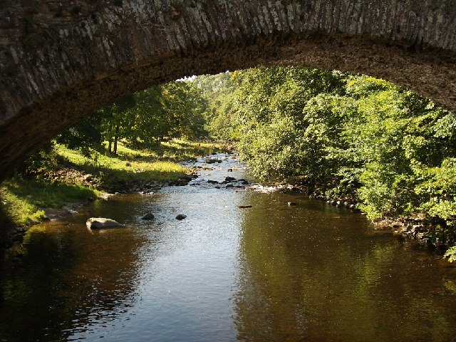
River Lowther
The River Lowther is a small river which flows through limestone rock in Cumbria, England. It is a tributary of the River Eamont which in turn is a tributary...
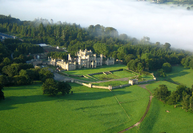
Lowther Castle
Lowther Castle is a country house in the historic county of Westmorland, which now under the current unitary authority of Westmorland and Furness, in the...

Clifton, Cumbria
Clifton is a small linear village and civil parish in Cumbria, England. Historically part of Westmorland, it lies 3 miles (4.8 km) south east of Penrith...
Clifton Hall, Cumbria
Clifton Hall was a fortified manor house in the village of Clifton, Cumbria. Dating from around 1400, it was constructed by either Elianor Engaine or her...

Clifton Moor Skirmish
The Clifton Moor Skirmish took place on the evening of Wednesday 18 December during the Jacobite rising of 1745. Following the decision to retreat from...
Nearby Amenities
Located within 500m of 54.622,-2.752Have you been to Castlesteads?
Leave your review of Castlesteads below (or comments, questions and feedback).