Castle of Allardice

Heritage Site in Kincardineshire

Scotland

Castle of Allardice

Track giving access to Upper Knox Farm Looking south-westward.
Track giving access to Upper Knox Farm Credit: Peter Wood

The Castle of Allardice is a historic heritage site located in Kincardineshire, Scotland. It holds a significant historical and architectural value, making it a popular destination for tourists and history enthusiasts.

Built in the late 16th century, the castle is a fine example of Scottish Renaissance architecture. It was originally designed as a tower house, serving as a defensive structure during turbulent times. Over the centuries, the castle underwent several expansions and alterations, resulting in its current appearance.

The Castle of Allardice is characterized by its imposing stone walls, intricate details, and a striking tower that dominates the surrounding landscape. Its strategic position atop a hill provides panoramic views of the surrounding countryside.

The interior of the castle is equally impressive, showcasing a blend of medieval and Renaissance features. Visitors can explore the various rooms, including a grand hall, chambers, a chapel, and a well-preserved kitchen. The castle's interiors are adorned with ornate woodwork, decorative ceilings, and original fireplaces, offering a glimpse into the lifestyle of the castle's former inhabitants.

Today, the Castle of Allardice is privately owned, but it occasionally opens its doors to the public for guided tours and special events. It serves as a reminder of Scotland's rich history and architectural heritage, allowing visitors to step back in time and experience the grandeur of a bygone era.

If you have any feedback on the listing, please let us know in the comments section below.

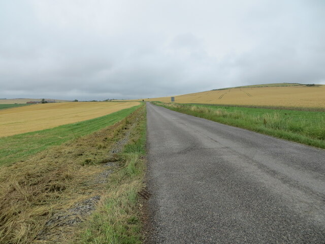
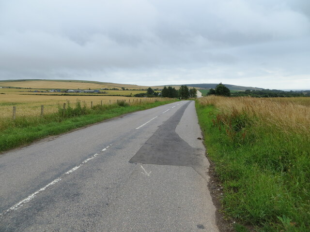
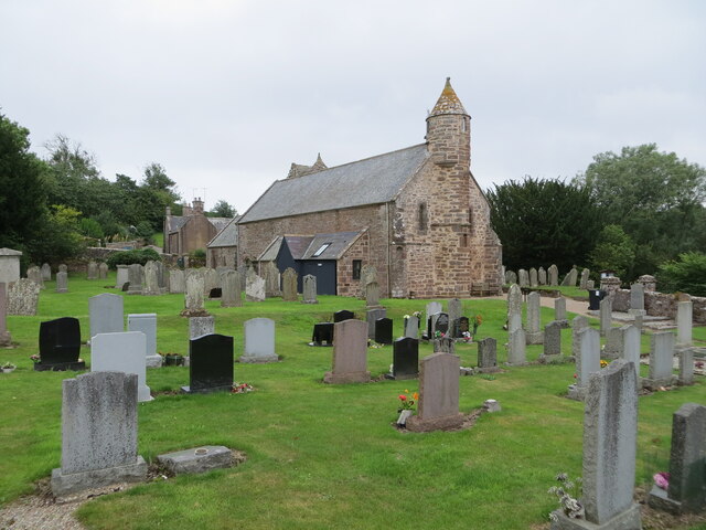
Castle of Allardice Images

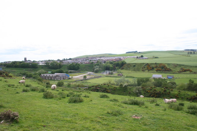
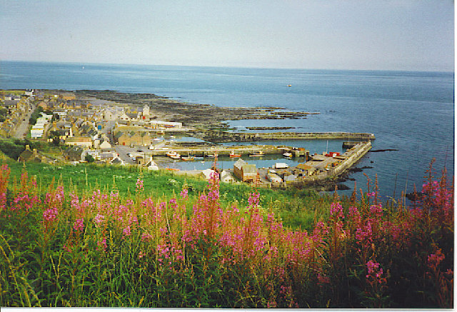
Images are sourced within 2km of 56.853/-2.303 or Grid Reference NO8173. Thanks to Geograph Open Source API. All images are credited.

Track giving access to Upper Knox Farm Looking south-westward.
Track giving access to Upper Knox Farm
Looking south-westward.
An area of wilderness at Knox Hill Triangulation Pillar Looking north-westward.
An area of wilderness at Knox Hill Triangulation Pillar
Looking north-westward.
Minor road at Dendoldrum Farm Looking south-westward.
Minor road at Dendoldrum Farm
Looking south-westward.
Church Street, Inverbervie Looking north-westward from beside Bervie School.
Church Street, Inverbervie
Looking north-westward from beside Bervie School.
Kirk Burn, Inverbervie Looking south-eastward from near to the Fire Station.
Kirk Burn, Inverbervie
Looking south-eastward from near to the Fire Station.
Road (B967) near to Pitcarry Looking north-westward.
Road (B967) near to Pitcarry
Looking north-westward.
Road (B967) approaching the A92 and Inverbervie Looking south-eastward.
Road (B967) approaching the A92 and Inverbervie
Looking south-eastward.
Road (B967) passing through arable fields near to Tullymartin Looking north-westward.
Road (B967) passing through arable fields near to Tullymartin
Looking north-westward.
Road (B967) near to Millplough Looking south-eastward. Millplough Farm can be seen on the left of the picture.
Road (B967) near to Millplough
Looking south-eastward. Millplough Farm can be seen on the left of the picture.
The Church of St Ternan and part of its burial ground at Arbuthnott Viewed from the northwest.
The Church of St Ternan and part of its burial ground at Arbuthnott
Viewed from the northwest.
Ordnance Survey Cut Mark with Rivet A handy stone upon which to tie a shoelace beside the track on Dendoldrum Hill turned out to be a boundary stone with this benchmark.
The recorded details give a height of 146.938 metres above sea level.
For more detail see : <span class="nowrap"><a title="https://www.bench-marks.org.uk/bm162327" rel="nofollow ugc noopener" href="https://www.bench-marks.org.uk/bm162327">Link</a><img style="margin-left:2px;" alt="External link" title="External link - shift click to open in new window" src="https://s1.geograph.org.uk/img/external.png" width="10" height="10"/></span>
Ordnance Survey Cut Mark with Rivet
A handy stone upon which to tie a shoelace beside the track on Dendoldrum Hill turned out to be a boundary stone with this benchmark. The recorded details give a height of 146.938 metres above sea level. For more detail see : LinkExternal link
Ordnance Survey Flush Bracket S7021 This bracket can be found on the wall of Bervie School, Inverbervie.
The recorded details give a height of 28.805 metres above sea level.
For more detail see : <span class="nowrap"><a title="https://www.bench-marks.org.uk/bm488" rel="nofollow ugc noopener" href="https://www.bench-marks.org.uk/bm488">Link</a><img style="margin-left:2px;" alt="External link" title="External link - shift click to open in new window" src="https://s1.geograph.org.uk/img/external.png" width="10" height="10"/></span>
Ordnance Survey Flush Bracket S7021
This bracket can be found on the wall of Bervie School, Inverbervie. The recorded details give a height of 28.805 metres above sea level. For more detail see : LinkExternal link
Ordnance Survey Cut Mark with Bolt This mark can be found on the wall of Bervie Church, Inverbervie.
The recorded details give a height of 28.973 metres above sea level.
For more detail see : <span class="nowrap"><a title="https://www.bench-marks.org.uk/bm126448" rel="nofollow ugc noopener" href="https://www.bench-marks.org.uk/bm126448">Link</a><img style="margin-left:2px;" alt="External link" title="External link - shift click to open in new window" src="https://s1.geograph.org.uk/img/external.png" width="10" height="10"/></span>
Ordnance Survey Cut Mark with Bolt
This mark can be found on the wall of Bervie Church, Inverbervie. The recorded details give a height of 28.973 metres above sea level. For more detail see : LinkExternal link
St David of Scotland Episcopal Church The white-washed tin church of St David in Inverbervie.
St David of Scotland Episcopal Church
The white-washed tin church of St David in Inverbervie.
Bervie Parish Church The parish church on King Street in the centre of Inverbervie, with the war memorial in front.
Bervie Parish Church
The parish church on King Street in the centre of Inverbervie, with the war memorial in front.
From one bridge to another Standing on the Bervie Bridge looking at the Bervie Jubilee bridge
From one bridge to another
Standing on the Bervie Bridge looking at the Bervie Jubilee bridge
Sheep above Bervie Sheep grazing by Inverbervie separated from the village by the gorge formed by the Pitcarry Burn.
Sheep above Bervie
Sheep grazing by Inverbervie separated from the village by the gorge formed by the Pitcarry Burn.
Pitscarry Course The depression of the Pitscarry Burn as it joins the Bervie Water.
Pitscarry Course
The depression of the Pitscarry Burn as it joins the Bervie Water.
Show me another place!

Castle of Allardice is located at Grid Ref: NO8173 (Lat: 56.853, Lng: -2.303)

Unitary Authority: Aberdeenshire

Police Authority: North East

What 3 Words

///casino.voltages.linen. Near Inverbervie, Aberdeenshire

Related Wikis

Allardice Castle

Allardice Castle (also spelled Allardyce) is a sixteenth-century manor house in Kincardineshire, Scotland. It is approximately 1.5 kilometres north-west...

Inverbervie Town House

Inverbervie Town House is a municipal structure in Church Street in Inverbervie, Aberdeenshire, Scotland. The structure, which is primarily used as a public...

Inverbervie

Inverbervie (from Scottish Gaelic: Inbhir Biorbhaidh or Biorbhaigh, "mouth of the River Bervie") is a small town on the north-east coast of Scotland, south...

Arbuthnott Parish Kirk

Arbuthnott Parish Kirk is a church in Arbuthnott, Aberdeenshire, Scotland. Now a Category A listed building, it was built in at least the 13th century...

Inverbervie railway station

Bervie railway station served the town of Inverbervie, Aberdeenshire, Scotland from 1865 to 1966 on the Montrose and Bervie Railway. == History == The...

Bervie Water

Bervie Water (Scottish Gaelic: Uisge Bhiorbhaigh) is a river in Aberdeenshire, Scotland which rises in the Drumtochty Forest and flows across The Mearns...

Arbuthnott

Arbuthnott (Scottish Gaelic: Obar Bhuadhnait, "mouth of the Buadhnat") is a hamlet and parish in the Howe of the Mearns, a low-lying agricultural district...

Gourdon, Aberdeenshire

Gourdon () nicknamed Gurdin by the population, is a coastal fishing village in Aberdeenshire, Scotland, south of Inverbervie and north of Johnshaven, with...

Nearby Amenities

Located within 500m of 56.853,-2.303
Castle of Allardice
Place: isolated_dwelling
Lat/Long: 56.856625/-2.3016685
Power: pole
Lat/Long: 56.8537351/-2.3111076
Power: pole
Lat/Long: 56.8532526/-2.3098905
Power: pole
Lat/Long: 56.8527711/-2.3086893
Power: pole
Lat/Long: 56.8522842/-2.3074841
Power: pole
Lat/Long: 56.8518071/-2.3062829
Power: pole
Lat/Long: 56.8513268/-2.3051335
Power: pole
Lat/Long: 56.8510048/-2.3035901
Power: pole
Lat/Long: 56.8508201/-2.3026678
Power: pole
Lat/Long: 56.8505549/-2.3013498
Power: pole
Lat/Long: 56.8502721/-2.2999745
Power: pole
Lat/Long: 56.8500012/-2.2986121
Power: pole
Lat/Long: 56.849762/-2.2974318
Power: pole
Lat/Long: 56.8568939/-2.302023
Power: pole
Lat/Long: 56.8571976/-2.3015882
The data included in this document is from www.openstreetmap.org. The data is made available under ODbL.

Have you been to Castle of Allardice?

Leave your review of Castle of Allardice below (or comments, questions and feedback).