Castle Morris Common

Heritage Site in Pembrokeshire

Wales

Castle Morris Common

Lane Near Penymynydd Translates as 'head of the mountain'
Lane Near Penymynydd Credit: Deborah Tilley

Castle Morris Common is a designated heritage site located in Pembrokeshire, Wales. It spans approximately 140 hectares of open grassland and woodland, making it a significant natural and historical landmark in the region.

The common is renowned for its rich biodiversity and serves as an important habitat for various plant and animal species. The grassland area is home to a diverse range of wildflowers, including meadow saxifrage, devil's-bit scabious, and common spotted orchids. The woodlands consist of a mix of native tree species such as oak, ash, and birch, providing shelter and nesting sites for numerous birds and small mammals.

In addition to its natural features, Castle Morris Common holds historical significance. The remains of a medieval motte-and-bailey castle can be found on the site, dating back to the 12th century. The castle was likely a defensive stronghold during the Norman conquest of Wales. Although the castle is now in ruins, its presence adds a sense of historical charm to the landscape.

The common offers visitors the opportunity to engage in various outdoor activities such as walking, birdwatching, and picnicking. It is also a popular site for educational visits and nature conservation projects. The Pembrokeshire Coast National Park Authority manages and protects the common, ensuring its preservation for future generations.

Overall, Castle Morris Common is a cherished heritage site that combines natural beauty with historical significance, offering visitors a unique and enriching experience in the heart of Pembrokeshire.

If you have any feedback on the listing, please let us know in the comments section below.

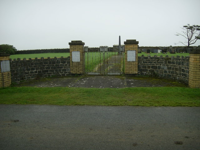
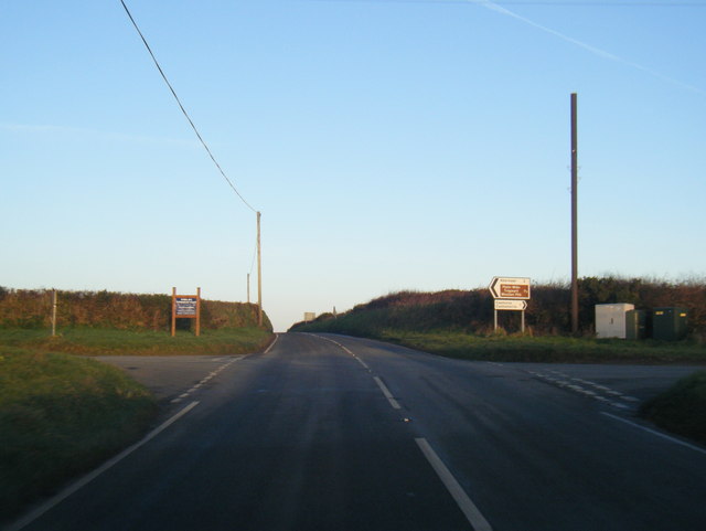
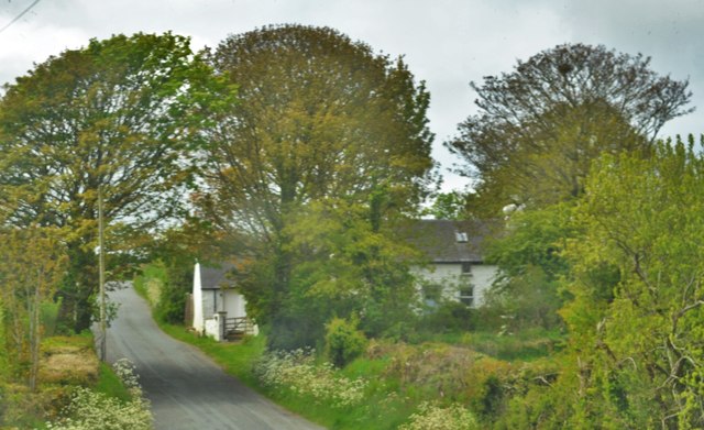
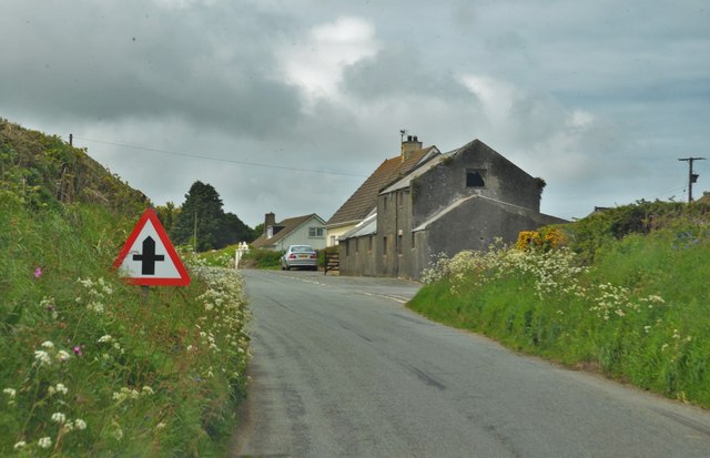
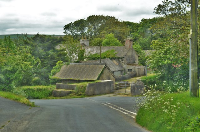
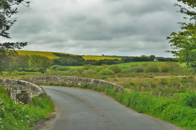
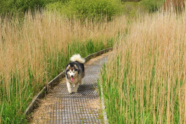
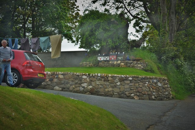
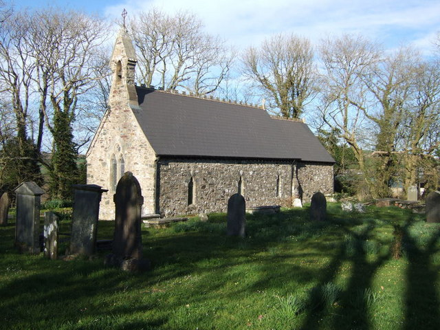
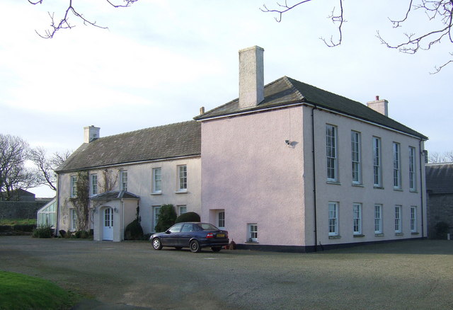
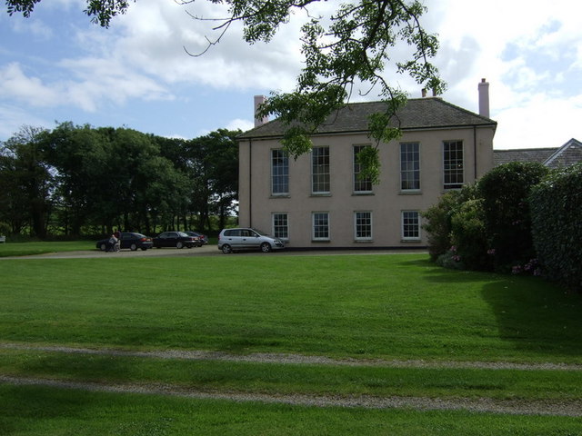
Castle Morris Common Images

Images are sourced within 2km of 51.942/-5.053 or Grid Reference SM9031. Thanks to Geograph Open Source API. All images are credited.

Lane Near Penymynydd Translates as 'head of the mountain'
Lane Near Penymynydd
Translates as 'head of the mountain'
Pen y Bryn
Pen y Bryn
A487/B4331 junction near Mathry
A487/ lane junction near Llangloffan
Gate at field entrance Gateway to a field at Penymynydd Farm.
Gate at field entrance
Gateway to a field at Penymynydd Farm.
Memorial gates, Llangloffan Cemetery The names of the local men who gave their lives for their country in the Great War 1914-1918 is inscribed in the memorial stone by the gates to the cemetery near Llangloffan chapel.<span class="nowrap"><a title="http://www.pembrokeshire-war-memorial.co.uk/page42.htm" rel="nofollow ugc noopener" href="http://www.pembrokeshire-war-memorial.co.uk/page42.htm">Link</a><img style="margin-left:2px;" alt="External link" title="External link - shift click to open in new window" src="https://s1.geograph.org.uk/img/external.png" width="10" height="10"/></span>
Memorial gates, Llangloffan Cemetery
The names of the local men who gave their lives for their country in the Great War 1914-1918 is inscribed in the memorial stone by the gates to the cemetery near Llangloffan chapel.LinkExternal link
A487 crossroads near Pen y Bryn
View north from Priskilly Cross Looking towards Llangloffan and Jordanston across the valley of the upper reaches of the Western Cleddau.
View north from Priskilly Cross
Looking towards Llangloffan and Jordanston across the valley of the upper reaches of the Western Cleddau.
Haylage bales near Priskilly Cross Looking east beside the B4331 towards Letterston.
Haylage bales near Priskilly Cross
Looking east beside the B4331 towards Letterston.
The lane towards Castle Morris Looking north from the crossroads near Pen-y-bank.  The rocky summit of Garn Fawr on Strumble Head can be seen in the distance.
The lane towards Castle Morris
Looking north from the crossroads near Pen-y-bank. The rocky summit of Garn Fawr on Strumble Head can be seen in the distance.
The lane towards Priskilly Cross Looking east from the crossroads near Pen-y-bank.
The lane towards Priskilly Cross
Looking east from the crossroads near Pen-y-bank.
Cottage Near Jordanston Bridge A traditional Pembrokeshire cottage
Cottage Near Jordanston Bridge
A traditional Pembrokeshire cottage
Llangloffan Cross One of many crossroads and confusing criss-crossing lanes in the area!
Llangloffan Cross
One of many crossroads and confusing criss-crossing lanes in the area!
Llangloffan Village Centre Blink and you miss it!
Llangloffan Village Centre
Blink and you miss it!
Pont Llangloffan Translates as the 'bridge in the parish of Gloffan' - whoever he was! A Llan in the later Middle Ages came to denote entire parishes
Pont Llangloffan
Translates as the 'bridge in the parish of Gloffan' - whoever he was! A Llan in the later Middle Ages came to denote entire parishes
Bear Walks The Boardwalk A stunning nature reserve, about a mile in length
Bear Walks The Boardwalk
A stunning nature reserve, about a mile in length
Model Houses In Castlemorris Model houses in a model garden in a model village
Model Houses In Castlemorris
Model houses in a model garden in a model village
Lane Junction To Priskilly Fawr On the Hayscastle road
Lane Junction To Priskilly Fawr
On the Hayscastle road
Show me another place!

Castle Morris Common is located at Grid Ref: SM9031 (Lat: 51.942, Lng: -5.053)

Unitary Authority: Pembrokeshire

Police Authority: Dyfed Powys

What 3 Words

///decimals.nuptials.outnumber. Near Mathry, Pembrokeshire

Related Wikis

Castlemorris

Castlemorris (Welsh: Casmorys; also known as Castle Morris or Castle Maurice) is a small village in the parish and community of Mathry, Pembrokeshire,...

Corsydd Llangloffan

Corsydd Llangloffan is a Site of Special Scientific Interest (or SSSI) in Pembrokeshire, South Wales. It has been designated as a Site of Special Scientific...

Granston

Granston (Welsh: Treopert) is a hamlet and parish in Pembrokeshire, Wales. The parish was in the Hundred of Dewisland and includes the settlements of Llangloffan...

Mathry

Mathry (Welsh: Mathri) is a village, community and parish in Pembrokeshire, Wales. The hilltop village is 6 miles (9.7 km) southwest of Fishguard, close...

Mathry Road Halt railway station

Mathry Road Halt railway station was on the Clarbeston Road and Letterston line of the Great Western Railway. It served the village of Letterston 1 mile...

Jordanston Halt railway station

Jordanston Halt railway station was an intermediate stop on the Great Western Railway's line to Fishguard Harbour. It served the hamlet of Jordanston,...

Tregwynt Hoard

The Tregwynt Hoard is a mid-17th-century hoard of coins found at Tregwynt Mansion near Fishguard in Pembrokeshire, Wales, in 1996. The hoard is now in...

Tregwynt Mansion

Tregwynt Mansion is a house in the parish of Granston in Pembrokeshire, Wales. The Tregwynt Hoard was found during renovations in 1996. == Location... ==

Nearby Amenities

Located within 500m of 51.942,-5.053
Castle Morris
Name Cy: Casmorys
Place: hamlet
Wikidata: Q5050565
Lat/Long: 51.9430632/-5.0532695
Direction: WNW
Generator Method: photovoltaic
Generator Output Electricity: yes
Generator Solar Modules: 16
Generator Source: solar
Generator Type: solar_photovoltaic_panel
Location: roof
Power: generator
Lat/Long: 51.9423618/-5.053373
Parking
Access: yes
Fee: no
Parking: layby
Surface: asphalt
Lat/Long: 51.9460702/-5.0502352
Pencnwc
Place: farm
Lat/Long: 51.9432799/-5.0507797
The data included in this document is from www.openstreetmap.org. The data is made available under ODbL.

Have you been to Castle Morris Common?

Leave your review of Castle Morris Common below (or comments, questions and feedback).