Castle Knowe
Heritage Site in Fife
Scotland
Castle Knowe
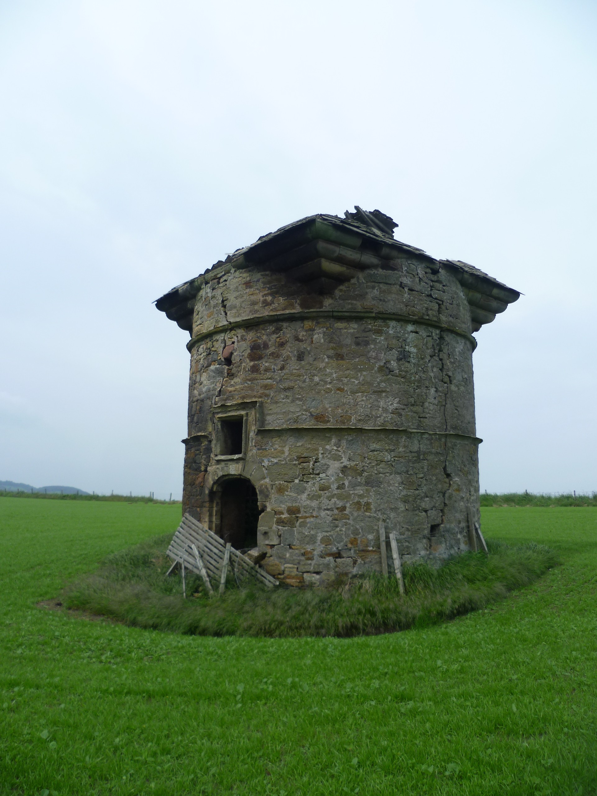
Castle Knowe is a historic site located in Fife, Scotland. Situated atop a hill overlooking the picturesque town of Dunfermline, it is an impressive example of a medieval castle that dates back to the 12th century. The castle is believed to have been built by the MacDuff family, the Earls of Fife, who held significant power and influence in the region during that time.
The castle is surrounded by a deep moat, which once served as a protective measure against potential invaders. The main entrance to the castle is accessed via a stone bridge that spans the moat. The structure itself is predominantly made of stone, with a quadrangular layout and four corner towers. The castle's architecture exhibits a mix of medieval and Renaissance influences, showcasing the various stages of its construction and subsequent renovations.
Today, Castle Knowe is classified as a heritage site, attracting visitors from all over the world who are interested in exploring Scotland's rich history. While the castle is no longer inhabited, it has been carefully preserved, allowing visitors to step back in time and experience the grandeur of medieval Scottish architecture.
The castle and its surroundings offer breathtaking panoramic views of the surrounding countryside, making it a popular spot for photography enthusiasts. Additionally, guided tours are available, providing visitors with detailed information about the castle's history, its former inhabitants, and the significance it held within the political and social landscape of medieval Fife.
If you have any feedback on the listing, please let us know in the comments section below.
Castle Knowe Images
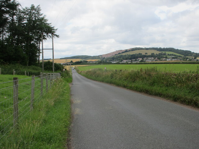
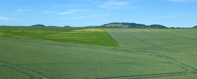
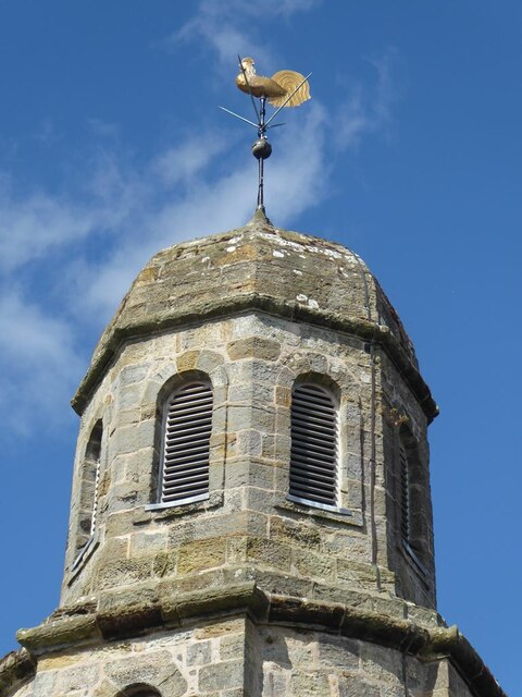
Images are sourced within 2km of 56.383/-2.883 or Grid Reference NO4521. Thanks to Geograph Open Source API. All images are credited.


Castle Knowe is located at Grid Ref: NO4521 (Lat: 56.383, Lng: -2.883)
Unitary Authority: Fife
Police Authority: Fife
What 3 Words
///lifeguard.frizz.validated. Near Leuchars, Fife
Nearby Locations
Related Wikis
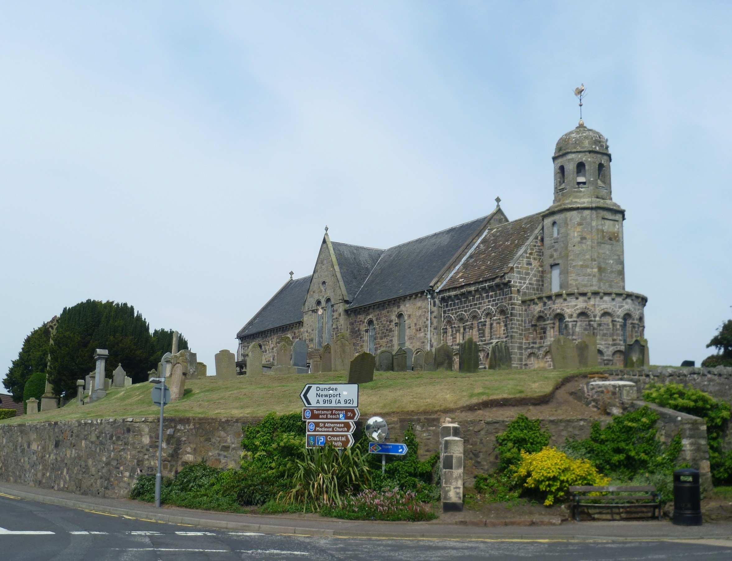
St Athernase Church
St Athernase Church is a Romanesque church located in Leuchars, Fife, Scotland. It is a Category A listed building and remains in use as a Church of Scotland...
Leuchars
Leuchars (pronounced or ; Scottish Gaelic: Luachar "rushes") is a small town and parish near the north-east coast of Fife in Scotland. The civil parish...

Leuchars (Old) railway station
Leuchars (Old) railway station served the town of Leuchars, Fife, Scotland from 1848 to 1921 on the Edinburgh and Northern Railway. == History == The station...
Leuchars Castle
Leuchars Castle, was a castle that was located near Leuchars, Fife, Scotland.A motte and bailey castle was built in the 12th century. The town was created...
Nearby Amenities
Located within 500m of 56.383,-2.883Have you been to Castle Knowe?
Leave your review of Castle Knowe below (or comments, questions and feedback).