Castle Howe

Heritage Site in Westmorland Eden

England

Castle Howe

Bins, Tebay East Services, M6
Bins, Tebay East Services, M6 Credit: habiloid

Castle Howe is a historic site located in the town of Kendal, in the county of Westmorland, England. It is a scheduled ancient monument and holds significant importance in the region's heritage. The castle is situated on a prominent mound, offering commanding views of the surrounding landscape.

Thought to have been built in the late 11th century, Castle Howe served as a motte-and-bailey castle, a common design during the Norman period. It was strategically positioned to oversee the town and control the nearby trade routes. The castle consists of a large motte, which is an artificial mound, with a bailey, an enclosed courtyard, at its base.

The motte at Castle Howe is approximately 30 feet high and has a diameter of around 100 feet. It was constructed using earth and stone, with a wooden tower or keep on its summit. The bailey, which was surrounded by a defensive wall, provided additional living quarters and storage space for the castle's inhabitants.

Throughout its history, Castle Howe witnessed numerous conflicts and sieges. It played a role in the English Civil War in the 17th century when it was captured and held by both Royalist and Parliamentary forces at different times. However, the castle gradually fell into disrepair and was abandoned by the 18th century.

Today, Castle Howe stands as a reminder of Kendal's medieval past. Visitors can explore the site and enjoy panoramic views of the town and the beautiful surrounding countryside. The castle's ruins provide a glimpse into the architectural techniques and defensive strategies of the Norman era. It is a popular heritage site, attracting history enthusiasts and tourists keen to delve into the rich history of Westmorland.

If you have any feedback on the listing, please let us know in the comments section below.
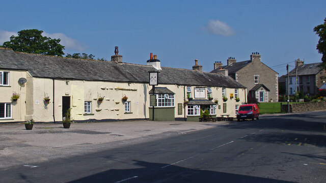
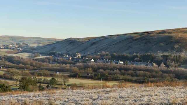
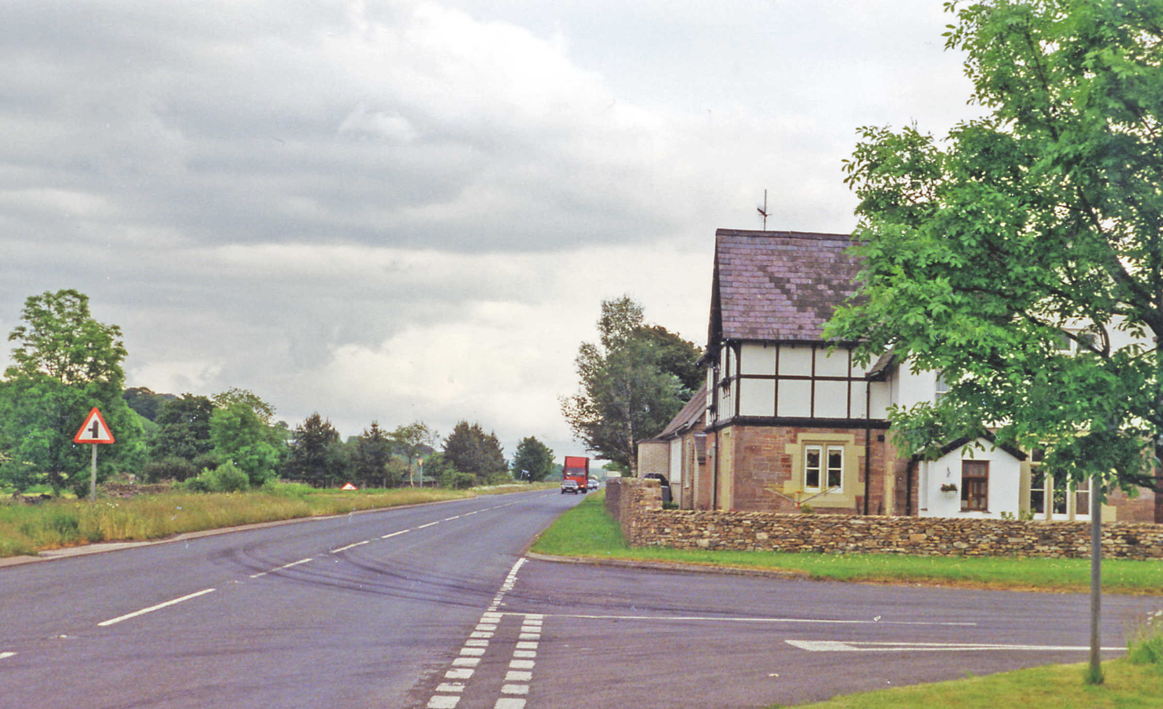
Castle Howe Images

Images are sourced within 2km of 54.443/-2.593 or Grid Reference NY6105. Thanks to Geograph Open Source API. All images are credited.

Bins, Tebay East Services, M6
View from Tebay East Services, M6
Tebay East Services, M6 The M6 motorway runs from junction 19 of the M1 at the Catthorpe Interchange, near Rugby to the Gretna junction (J45). Here it becomes the A74(M) and M74 which continues to Glasgow.

The M6 is the longest motorway in the United Kingdom (232 miles) and one of the busiest. It incorporates the first length of motorway opened in the UK (the Preston bypass in 1958) and forms part of a motorway "Backbone of Britain", running north-south between London and Glasgow via the industrial north of England. It is also part of the east-west route between the Midlands and the east coast ports.
Tebay East Services, M6
The M6 motorway runs from junction 19 of the M1 at the Catthorpe Interchange, near Rugby to the Gretna junction (J45). Here it becomes the A74(M) and M74 which continues to Glasgow. The M6 is the longest motorway in the United Kingdom (232 miles) and one of the busiest. It incorporates the first length of motorway opened in the UK (the Preston bypass in 1958) and forms part of a motorway "Backbone of Britain", running north-south between London and Glasgow via the industrial north of England. It is also part of the east-west route between the Midlands and the east coast ports.
Cross Keys Inn, Tebay
Signage  - M6 northbound
Signage - M6 northbound
Junction 38 signage  - M6 northbound
Junction 38 signage - M6 northbound
Tebay View from above Roundthwaite.
Tebay
View from above Roundthwaite.
M6, Tebay About to leave Lunedale for the climb to Shap.
M6, Tebay
About to leave Lunedale for the climb to Shap.
Tebay Services The original Westmorland services on the northbound carriageway.
Tebay Services
The original Westmorland services on the northbound carriageway.
Junction 38 Truckstop, Tebay
Car park at Tebay Services
Stile on Coatflatt footpath The stile seems quite substantial and robust, despite the adjacent wall being in a state of collapse - maybe undermined by those pesky moles ? The footpath itself is pretty faint on the ground but sticks to the flat grassy grazing land on the floodplain of Chapel Beck which flows on the left past the clump of conifers, on its way to meet the River Lune just before Tebay Bridge.
Stile on Coatflatt footpath
The stile seems quite substantial and robust, despite the adjacent wall being in a state of collapse - maybe undermined by those pesky moles ? The footpath itself is pretty faint on the ground but sticks to the flat grassy grazing land on the floodplain of Chapel Beck which flows on the left past the clump of conifers, on its way to meet the River Lune just before Tebay Bridge.
Chapel Beck flows past Coatflatt Mill Chapel Beck flows from Orton to join the River Lune just above Tebay Bridge, but the eponymous chapel seems to have been away from any village, and adjacent to the ancient feature of Lady Well, just over a kilometre upstream of where the photographer was standing. The public footpath (which is to the right of the drystone wall over which the shot was taken and which is not visible) passes to the right of the Mill and continues only to the minor road just beyond it.
Chapel Beck flows past Coatflatt Mill
Chapel Beck flows from Orton to join the River Lune just above Tebay Bridge, but the eponymous chapel seems to have been away from any village, and adjacent to the ancient feature of Lady Well, just over a kilometre upstream of where the photographer was standing. The public footpath (which is to the right of the drystone wall over which the shot was taken and which is not visible) passes to the right of the Mill and continues only to the minor road just beyond it.
Start of track to Coatflatt Hall The track is not a public right of way, but the owners of the land where the public footpath leaves it to head south for Tebay bridge have made the gate so difficult to open that I gave up and walked to the road here, thus gaining a square I hadn't intended to visit.
Start of track to Coatflatt Hall
The track is not a public right of way, but the owners of the land where the public footpath leaves it to head south for Tebay bridge have made the gate so difficult to open that I gave up and walked to the road here, thus gaining a square I hadn't intended to visit.
Loupa Fell Some trees have been planted on top of the fell, west of Pikestone Lane.
Looking south to the Lune Gorge.
Loupa Fell
Some trees have been planted on top of the fell, west of Pikestone Lane. Looking south to the Lune Gorge.
 Pond at Tebay Services Southbound services on the M6.
Pond at Tebay Services
Southbound services on the M6.
Ornamental lake at Tebay West Services
Show me another place!

Castle Howe is located at Grid Ref: NY6105 (Lat: 54.443, Lng: -2.593)

Administrative County: Cumbria

District: Eden

Police Authority: Cumbria

What 3 Words

///leaned.objecting.yappy. Near Shap, Cumbria

Related Wikis

Related Videos

Walking In The Howgill Fells | Blease Fell & Hare Shaw | Peace And Quiet!

Very peaceful stroll in the Howgill Fells https://www.youtube.com/@TonysTrails?sub_confirmation=1 #howgill fells #walking ...

Walking Wicker street roman road #RomanRoad

A short spring walk along the line of the roman road which ran from Lancaster to Kirkby Thore in the Eden valley, this short stretch ...

10 days backpacking Wainwrights coast to coast walk

Orton to Ney gill shooting hut, climbing nine standards and crossing the bogs of doom!

Nearby Amenities

Located within 500m of 54.443,-2.593
Bus Stop
Old Tebay (N bound)
Local Ref: AT
Naptan AtcoCode: 090074644244
Naptan Bearing: N
Naptan CommonName: Old Tebay (N bound)
Naptan Indicator: at
Naptan Landmark: Truck Stop
Naptan NaptanCode: cumdpwpw
Naptan Street: B6260
Naptan Verified: no
Source: naptan_import
Lat/Long: 54.4391615/-2.5937797
Bus Stop
Old Tebay (S bound)
Naptan AtcoCode: 090074644245
Naptan Bearing: S
Naptan CommonName: Old Tebay (S bound)
Naptan Indicator: near
Naptan Landmark: Clock Garage Estate
Naptan NaptanCode: cumdpwta
Naptan Street: B6260
Naptan Verified: no
Source: naptan_import
Lat/Long: 54.4392168/-2.5935029
Defibrillator
Booth: KX100
Covered: booth
Defibrillator Location: inside phone box in Old Tebay
Disused Amenity: telephone
Emergency: defibrillator
Man Made: telephone_box
Source: survey
Lat/Long: 54.4400424/-2.5929983
Post Box
Post Box Type: lamp
Ref: CA10 154
Royal Cypher: EIIR
Royal Cypher Wikidata: Q33102113
Source: survey
Lat/Long: 54.4400689/-2.5929689
Fuel
Tebay J38 Truckstop
Fuel Diesel: yes
Fuel Lpg: yes
Fuel Octane 95: yes
Lat/Long: 54.4386418/-2.5945317
Old Tebay
Place: hamlet
Wikidata: Q10608202
Lat/Long: 54.4401181/-2.5928504
Motorway Junction
Tebay
Ref: 38
Lat/Long: 54.4407931/-2.5950598
Castle Howe
Historic: archaeological_site
Wikidata: Q17642489
Lat/Long: 54.4398187/-2.5973922
Power: substation
Lat/Long: 54.4390575/-2.5937284
Generator Method: photovoltaic
Generator Output Electricity: yes
Generator Source: solar
Generator Type: solar_photovoltaic_panel
Location: roof
Power: generator
Lat/Long: 54.4386901/-2.5914339
Generator Method: photovoltaic
Generator Output Electricity: yes
Generator Source: solar
Generator Type: solar_photovoltaic_panel
Location: roof
Power: generator
Lat/Long: 54.4387501/-2.5911381
Generator Method: photovoltaic
Generator Output Electricity: yes
Generator Source: solar
Generator Type: solar_photovoltaic_panel
Location: roof
Power: generator
Lat/Long: 54.4386101/-2.5919807
Generator Method: photovoltaic
Generator Output Electricity: yes
Generator Source: solar
Generator Type: solar_photovoltaic_panel
Location: roof
Power: generator
Lat/Long: 54.439039/-2.5931522
Man Made: tower
Tower Construction: lattice
Tower Type: communication
Lat/Long: 54.4396471/-2.5917207
Power: pole
Lat/Long: 54.4418755/-2.5996516
Power: pole
Lat/Long: 54.4426006/-2.598607
Power: pole
Lat/Long: 54.4429252/-2.5970697
Power: pole
Lat/Long: 54.443094/-2.5962397
Power: pole
Lat/Long: 54.4396404/-2.596347
Power: pole
Lat/Long: 54.4395952/-2.5977514
Power: pole
Lat/Long: 54.4400506/-2.598606
Power: pole
Lat/Long: 54.4395845/-2.5915551
Power: pole
Lat/Long: 54.4398805/-2.5900586
Power: pole
Lat/Long: 54.4396487/-2.5888402
Power: pole
Lat/Long: 54.4395263/-2.5881963
Power: pole
Lat/Long: 54.4443696/-2.5900494
Power: pole
Lat/Long: 54.444045/-2.5916174
Power: pole
Lat/Long: 54.4436706/-2.5934757
Power: pole
Lat/Long: 54.4433936/-2.5948332
Power: pole
Lat/Long: 54.4445681/-2.5916399
The data included in this document is from www.openstreetmap.org. The data is made available under ODbL.

Have you been to Castle Howe?

Leave your review of Castle Howe below (or comments, questions and feedback).