Castle How

Heritage Site in Cumberland Eden

England

Castle How

River Caldew
River Caldew Credit: Les Hull

Castle How is a historic site located in the county of Cumberland, England. Situated on a hilltop within the Lake District National Park, the castle offers breathtaking views of the surrounding landscape.

Originally built in the 12th century, Castle How has a rich history that spans several centuries. It was initially constructed as a defensive structure, serving as a stronghold for local lords and nobles. Over the years, the castle underwent several expansions and renovations, reflecting the changing architectural styles and needs of its owners.

One notable feature of Castle How is its imposing stone walls, which were built to withstand attacks during times of conflict. The castle also boasts a central keep, which served as the main residence for the lord and his family. Inside, visitors can explore various chambers, including a great hall, bedrooms, and a chapel, which provide insights into medieval life.

In addition to its historical significance, Castle How is renowned for its picturesque setting. Surrounded by lush greenery and overlooking a nearby lake, the site offers a serene and peaceful ambiance. Visitors can enjoy walks in the castle grounds and take in the beauty of the surrounding countryside.

Today, Castle How is open to the public as a heritage site, allowing visitors to step back in time and experience the rich history of the castle. Guided tours are available, providing detailed information about the castle's architecture, its inhabitants, and the events that shaped its past.

If you have any feedback on the listing, please let us know in the comments section below.
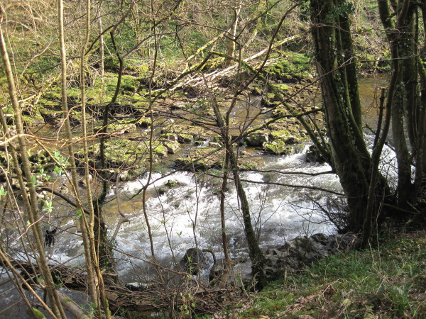
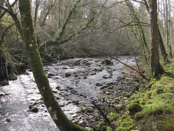
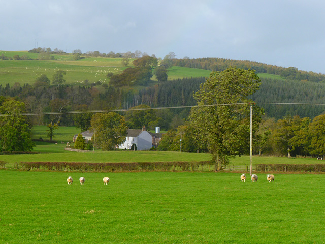
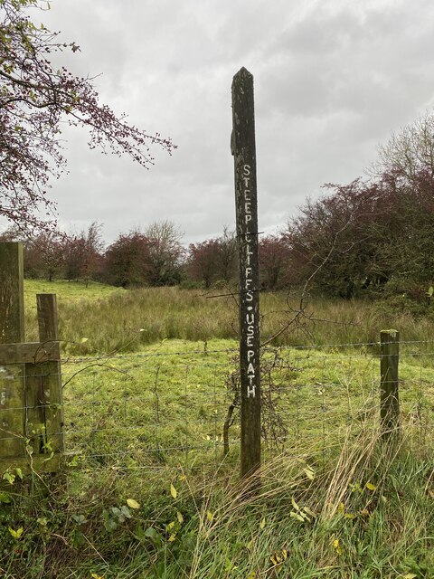
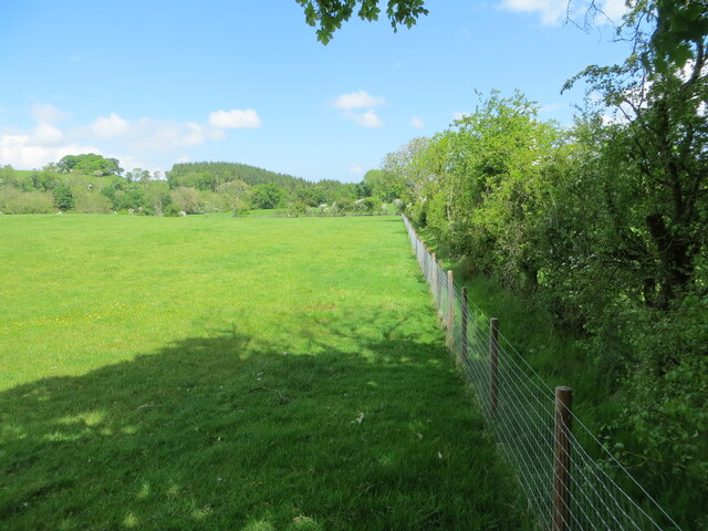
Castle How Images

Images are sourced within 2km of 54.737/-3.002 or Grid Reference NY3538. Thanks to Geograph Open Source API. All images are credited.

River Caldew
River Caldew
River Caldew
River Caldew
Cumbria Way between Sebergham and Caldbeck
Pasture, Castle Sowerby With higher ground rising beyond the River Caldew.
Pasture, Castle Sowerby
With higher ground rising beyond the River Caldew.
Main street and green, Hesket Newmarket An attractive small village close to the northern boundary of the Lake District National Park. Part hidden behind the large tree is the 18thC market cross with its four pillars and roof.
Main street and green, Hesket Newmarket
An attractive small village close to the northern boundary of the Lake District National Park. Part hidden behind the large tree is the 18thC market cross with its four pillars and roof.
Steep Cliffs Use Path Footpath Sign
Stile into open access land
Hewer Hill Quarry Trig Point Flush Bracket S7000
Direction Sign – Signpost in Hesket Newmarket Located on the northwest side of a crossroads at the east end of Hesket Newmarket. Caldbeck parish. 1 arm and pawn finial.

Milestone Society National ID: CU_NY3438A
Direction Sign – Signpost in Hesket Newmarket
Located on the northwest side of a crossroads at the east end of Hesket Newmarket. Caldbeck parish. 1 arm and pawn finial. Milestone Society National ID: CU_NY3438A
Direction Sign – Signpost at Hesket Newmarket Located on the green at the west end of Hesket Newmarket. Caldbeck parish. 3 arms and annulus finial. See also <span class="nowrap"><a title="http://www.geog.port.ac.uk/webmap/thelakes/photos/bvd29.jpg" rel="nofollow ugc noopener" href="http://www.geog.port.ac.uk/webmap/thelakes/photos/bvd29.jpg">Link</a><img style="margin-left:2px;" alt="External link" title="External link - shift click to open in new window" src="https://s1.geograph.org.uk/img/external.png" width="10" height="10"/></span> and <a title="https://www.geograph.org.uk/photo/951259" href="https://www.geograph.org.uk/photo/951259">Link</a>

Milestone Society National ID: CU_NY3438
Direction Sign – Signpost at Hesket Newmarket
Located on the green at the west end of Hesket Newmarket. Caldbeck parish. 3 arms and annulus finial. See also LinkExternal link and Link Milestone Society National ID: CU_NY3438
Direction Sign - Signpost between Hesket Newmarket and Newlands Located on the south side of a junction between Hesket Newmarket and Newlands. Castle Sowerby parish. 3 arms and pawn finial.

Milestone Society National ID: CU_NY3438B
Direction Sign - Signpost between Hesket Newmarket and Newlands
Located on the south side of a junction between Hesket Newmarket and Newlands. Castle Sowerby parish. 3 arms and pawn finial. Milestone Society National ID: CU_NY3438B
Plantations above the Caldew The conifers here have been felled. Deciduous trees have been planted in their place. A few older ones remain. Looking east.
Plantations above the Caldew
The conifers here have been felled. Deciduous trees have been planted in their place. A few older ones remain. Looking east.
Farmland above Thackmire
Field edge footpath heading in the direction of Starnmire Looking northward.
Field edge footpath heading in the direction of Starnmire
Looking northward.
The Street, Hesket Newmarket
Lonning Head A quick shot during a break in the rain!
Lonning Head
A quick shot during a break in the rain!
The Street, Hesket Newmarket in 1984
Field adjacent to Pasture Lane The minor road, Pasture Lane is seen through the fence at the right side of the image; the view is northwards towards Hesket Newmarket.
Field adjacent to Pasture Lane
The minor road, Pasture Lane is seen through the fence at the right side of the image; the view is northwards towards Hesket Newmarket.
Show me another place!

Castle How is located at Grid Ref: NY3538 (Lat: 54.737, Lng: -3.002)

Administrative County: Cumbria

District: Eden

Police Authority: Cumbria

What 3 Words

///system.material.zaps. Near Dalston, Cumbria

Nearby Locations

Whitelock Wood Castle How

Related Wikis

Cumberland

Cumberland ( KUM-bər-lənd) is a historic county in North West England, covering part of the Lake District as well as the northern Pennines and the coast...

Hesket Newmarket

Hesket Newmarket is a small village in Cumbria, England, historically within Cumberland. It is on the opposite side of Skiddaw to Keswick within the Lake...

Haltcliff Bridge

Haltcliff Bridge or Haltcliffe Bridge is a hamlet on the River Caldew, in the civil parish of Mungrisdale in the county of Cumbria, England. The spelling...

Caldbeck

Caldbeck is a village in Cumbria, England, historically within Cumberland, it is situated within the Lake District National Park. The village had 714...

Sebergham

Sebergham is a small village and civil parish in the English county of Cumbria. It is located on the B5305, south of Carlisle and south-east of Wigton...

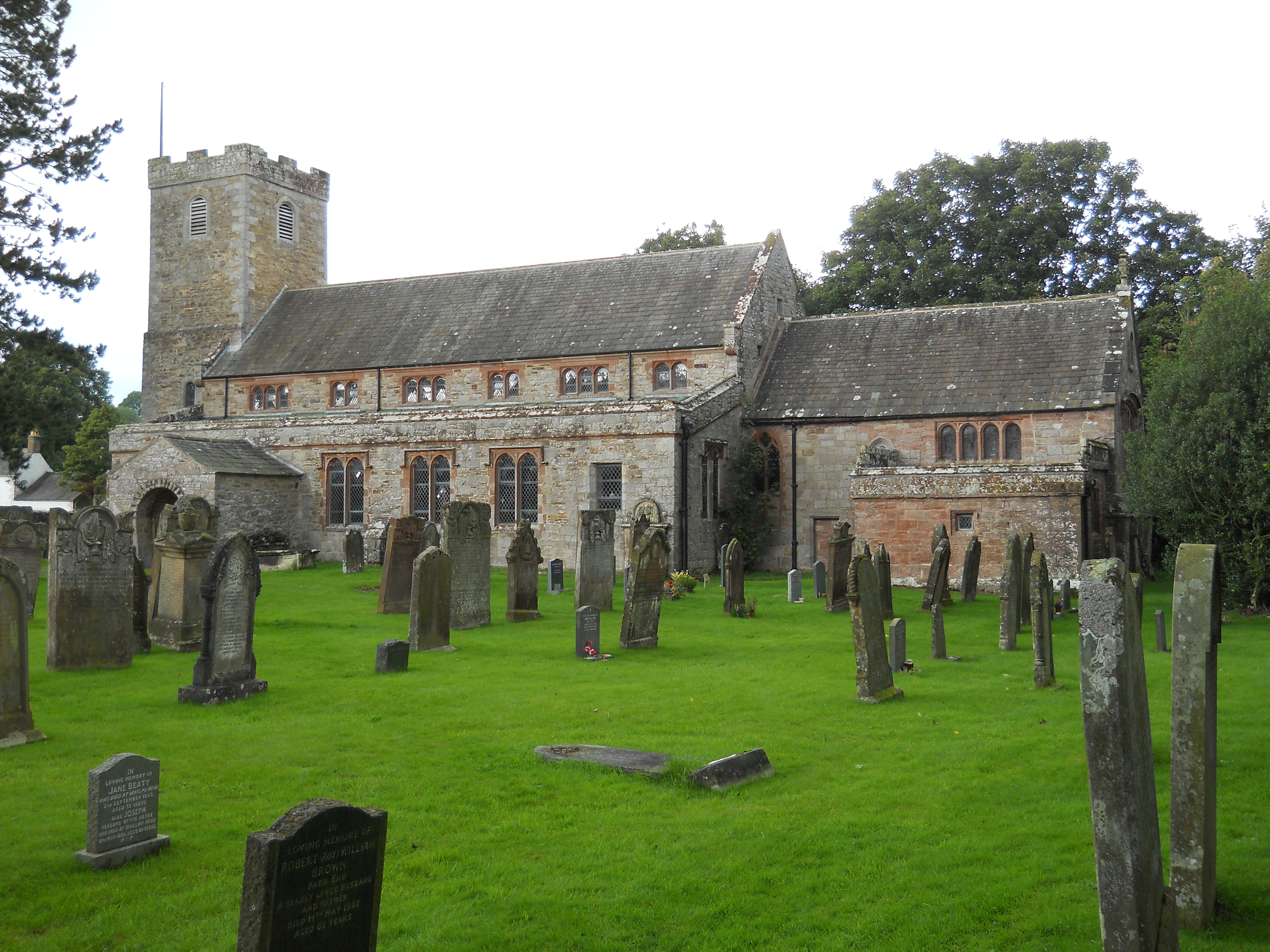
St Kentigern's Church, Caldbeck

St Kentigern's Church, (or St Mungo's Church), is in the village of Caldbeck, Cumbria, England. It is an active Anglican parish church in the deanery...

Brothybeck

Brothybeck is a village in Cumbria, England.

Castle Sowerby

Castle Sowerby is a civil parish in the Eden District of Cumbria, England. In 2001 it had a population of 337, increasing to 344 at the 2011 Census, and...

Nearby Amenities

Located within 500m of 54.737,-3.002
Power: pole
Lat/Long: 54.7325327/-3.0019729
Power: pole
Lat/Long: 54.7327255/-3.0002639
Power: pole
Lat/Long: 54.7328811/-2.9989394
Power: pole
Lat/Long: 54.7345806/-2.9959544
Power: pole
Lat/Long: 54.7346252/-2.9972073
Power: pole
Lat/Long: 54.7346633/-2.9983424
Power: pole
Lat/Long: 54.734737/-3.0004456
Power: pole
Lat/Long: 54.7347751/-3.001519
Power: pole
Lat/Long: 54.735347/-3.0023426
Power: pole
Lat/Long: 54.7358994/-3.0031507
The data included in this document is from www.openstreetmap.org. The data is made available under ODbL.

Have you been to Castle How?

Leave your review of Castle How below (or comments, questions and feedback).