Castle Hill

Heritage Site in Derbyshire Chesterfield

England

Castle Hill

Sainsbury's, Chesterfield Slightly out of town along the A619.
Sainsbury's, Chesterfield Credit: Bill Boaden

Castle Hill is a historic site located in Derbyshire, England. It is situated on a prominent limestone ridge in the town of Bakewell and offers panoramic views of the surrounding countryside. The site is known for its significance in British history and its well-preserved ruins.

Originally built in the 12th century, Castle Hill was a Norman castle constructed by William Peverel, the illegitimate son of William the Conqueror. The castle played a strategic role during the Middle Ages, acting as a stronghold and control point in the region. Over the centuries, it underwent several renovations and expansions, with the addition of a fortified manor house in the 16th century.

Today, visitors can explore the remains of the castle, which include the remnants of a large tower, the original gatehouse, and sections of the defensive walls. The site offers a fascinating insight into medieval architecture and defensive techniques. Interpretive panels provide historical context and information about the castle's past.

Castle Hill is also known for its picturesque setting and stunning views. From the top of the ridge, visitors can enjoy sweeping vistas of the Derbyshire Dales and the nearby Peak District National Park. The site is a popular destination for hikers and nature enthusiasts, offering various walking trails and picnic spots.

In addition to its historical and natural appeal, Castle Hill hosts occasional events and reenactments to bring the site's history to life. It is a must-visit destination for those interested in exploring the rich heritage of Derbyshire and experiencing the beauty of the English countryside.

If you have any feedback on the listing, please let us know in the comments section below.
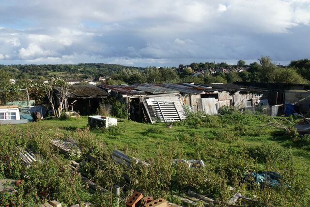
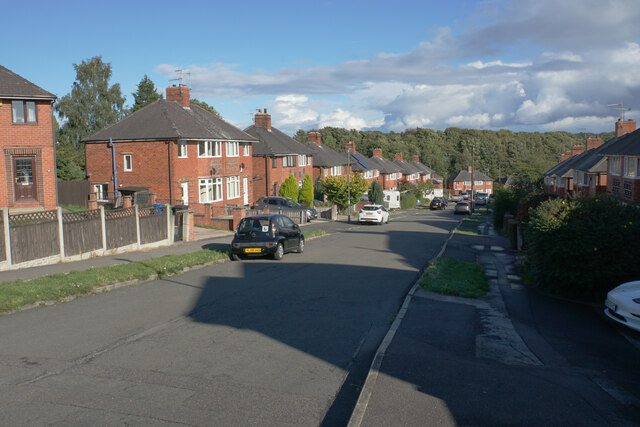
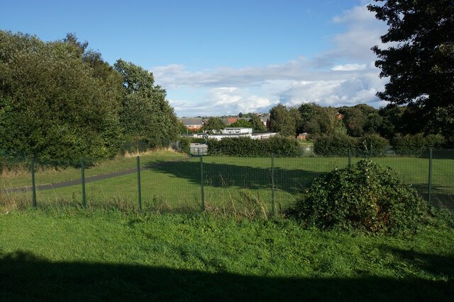
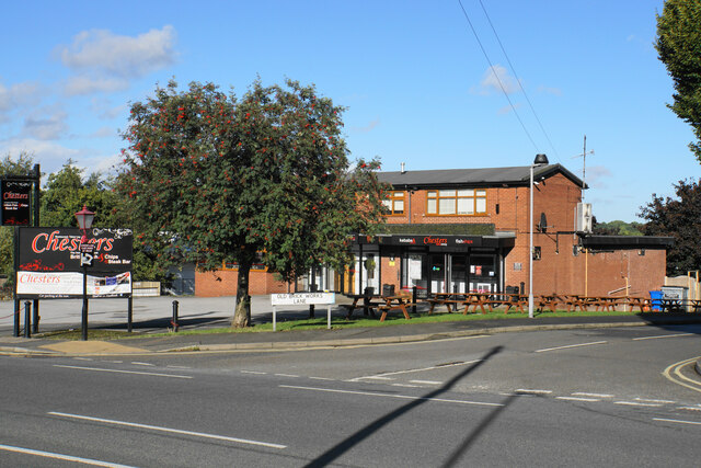
Castle Hill Images

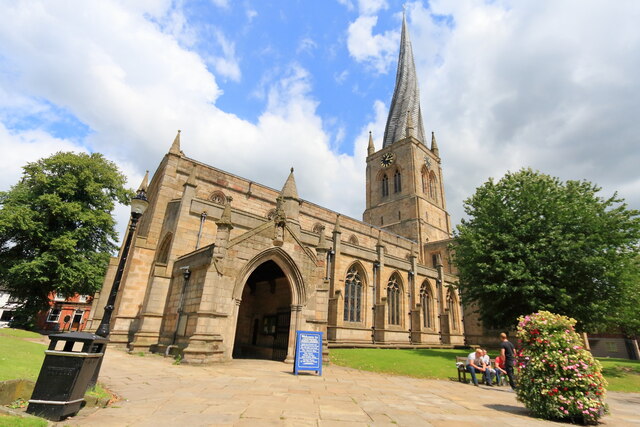
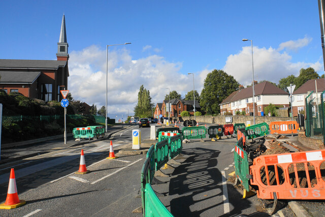
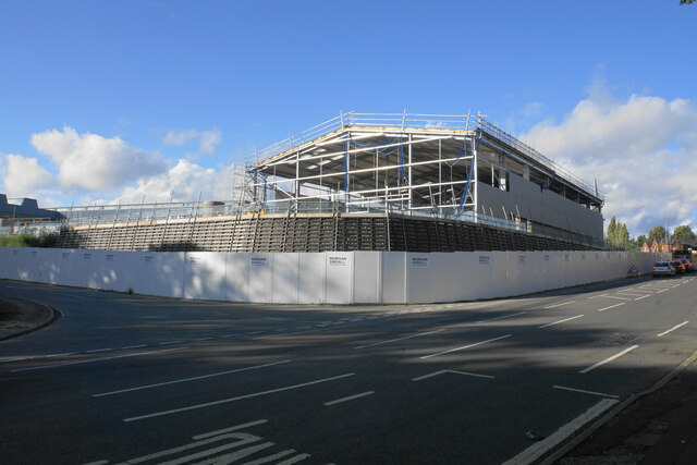
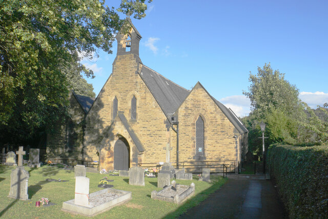
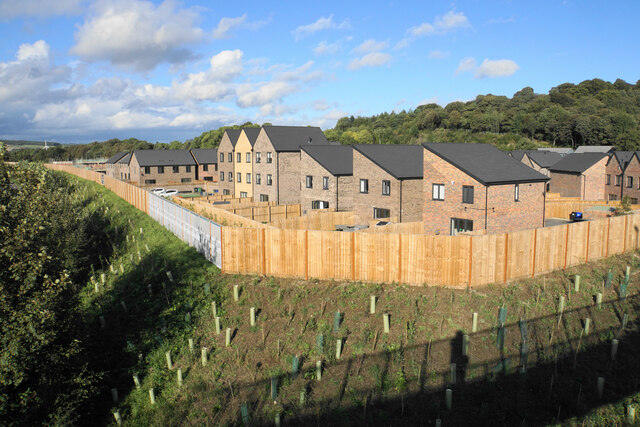
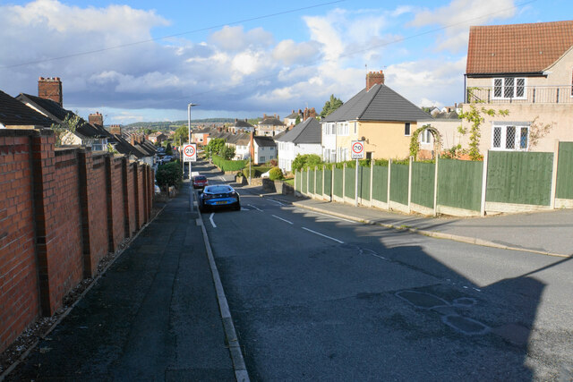
Images are sourced within 2km of 53.248/-1.408 or Grid Reference SK3972. Thanks to Geograph Open Source API. All images are credited.

Sainsbury's, Chesterfield Slightly out of town along the A619.
Sainsbury's, Chesterfield
Slightly out of town along the A619.
Two units in Trade Park, Lockoford Lane Viewed from across the railway in the Sainsbury's car park.
Two units in Trade Park, Lockoford Lane
Viewed from across the railway in the Sainsbury's car park.
Chesterfield Parish Church A view of Chesterfield Parish Church taken with a wide angle lens.
Chesterfield Parish Church
A view of Chesterfield Parish Church taken with a wide angle lens.
Chesterfield station
Thompson Street and Webster's Scrap Metals, Chesterfield
Freightliner 70020 passing through Chesterfield Station
Two pubs as neighbours The Chesterfield Arms and the Industry Inn are next door to each other on Queen Street.
Two pubs as neighbours
The Chesterfield Arms and the Industry Inn are next door to each other on Queen Street.
The top end of Highfield Allotments The back of a row of sheds, which is probably not their best aspect. Some of the local undulations can be seen, and the bent spire is visible towards the right.
The top end of Highfield Allotments
The back of a row of sheds, which is probably not their best aspect. Some of the local undulations can be seen, and the bent spire is visible towards the right.
Enfield Road A residential road in Stonegravels.
Enfield Road
A residential road in Stonegravels.
Christ Church (C of E) Primary School The back entrance to the school off Highfield View Road.
Christ Church (C of E) Primary School
The back entrance to the school off Highfield View Road.
Chesters Fish & Chips A fast food outlet on Sheffield Road with a substantial car park. It looks like a former pub.
Chesters Fish & Chips
A fast food outlet on Sheffield Road with a substantial car park. It looks like a former pub.
Roadworks on Sheffield Road At the junction with Hazlehurst Lane.
Roadworks on Sheffield Road
At the junction with Hazlehurst Lane.
New warehouse on Sheffield Road A new warehouse is being constructed for the supply of building materials including a trade counter.
New warehouse on Sheffield Road
A new warehouse is being constructed for the supply of building materials including a trade counter.
Christ Church, Chesterfield A Victorian building a little hidden away off Sheffield Road. It is in a joint parish with Holy Trinity.
Christ Church, Chesterfield
A Victorian building a little hidden away off Sheffield Road. It is in a joint parish with Holy Trinity.
New housing by the A61 Part of the Waterside Quarter built by Avant Homes. It will eventually be shielded by trees.
New housing by the A61
Part of the Waterside Quarter built by Avant Homes. It will eventually be shielded by trees.
Swaddale Avenue A residential road in Tapton.
Swaddale Avenue
A residential road in Tapton.
Paxton Road A residential road in Tapton, rising steeply away from Chesterfield.
Paxton Road
A residential road in Tapton, rising steeply away from Chesterfield.
Paxton Road A residential road in Tapton with a view over the northern suburbs of Chesterfield.
Paxton Road
A residential road in Tapton with a view over the northern suburbs of Chesterfield.
Show me another place!

Castle Hill is located at Grid Ref: SK3972 (Lat: 53.248, Lng: -1.408)

Administrative County: Derbyshire

District: Chesterfield

Police Authority: Derbyshire

What 3 Words

///herbs.bump.dates. Near Chesterfield, Derbyshire

Nearby Locations

Castle Hill Tapton

Related Wikis

Tapton, Derbyshire

Tapton is a suburb of Chesterfield, in the county of Derbyshire, England. It is located along the Brimington Road B6543, between Chesterfield town centre...
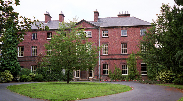
Tapton House

Tapton House, in Tapton, Derbyshire, England, was once the home of engineer George Stephenson, who built the first public railway line in the world to...

Chesterfield (UK Parliament constituency)

Chesterfield is a constituency represented in the House of Commons of the UK Parliament since 2010 by Toby Perkins of the Labour Party. == Constituency... ==

Tinkersick

Tinkersick or Tinker Sick is a stream east of Chesterfield, near Brimington in Derbyshire. The stream is an offshoot of the Chesterfield Canal.A breach...

Nearby Amenities

Located within 500m of 53.248,-1.408
Bicycle Bypass: yes
Traffic Calming: hump
Lat/Long: 53.249056/-1.4144766
Tapton
Is In: Derbyshire, England, UK
Place: village
Wikidata: Q7684839
Lat/Long: 53.2476365/-1.4121277
Passing Place
Lat/Long: 53.2465497/-1.4083034
Crossing
Bicycle: yes
Button Operated: yes
Crossing: traffic_signals
Crossing Island: no
Crossing Ref: toucan
Tactile Paving: yes
Lat/Long: 53.2488457/-1.4132652
Bicycle Bypass: yes
Traffic Calming: hump
Lat/Long: 53.2487582/-1.4137421
Turning Circle
Lat/Long: 53.2501713/-1.4139911
Ele: 102.2651367
Lat/Long: 53.2478894/-1.4049636
Barrier: stile
Steps: 3
Stile: wall
Lat/Long: 53.247355/-1.4054839
Ele: 78.9534912
Lat/Long: 53.2503115/-1.4022879
Ele: 78.4727783
Lat/Long: 53.2502588/-1.4023497
Barrier: stile
Steps: 1
Stile: wall
Lat/Long: 53.248002/-1.4054472
Barrier: stile
Ele: 101.0634766
Steps: 2
Stile: stepover
Lat/Long: 53.2485099/-1.4054521
Ele: 99.1408691
Lat/Long: 53.2487564/-1.4047435
Bench
Ele: 72.7048340
Lat/Long: 53.2520566/-1.4112085
Bus Stop
Bus: yes
Ele: 94.5747070
Public Transport: platform
Lat/Long: 53.2482596/-1.4137835
Ele: 95.0554199
Removed Amenity: telephone
Lat/Long: 53.2482965/-1.4137227
Bus Stop
Bus: yes
Ele: 93.8537598
Naptan AtcoCode: 1000DTBR2202
Naptan NaptanCode: dbsdjpmj
Public Transport: platform
Lat/Long: 53.2491808/-1.4132041
Bus Stop
Bus: yes
Ele: 75.1081543
Public Transport: platform
Lat/Long: 53.2516522/-1.4116484
Bicycle Bypass: yes
Traffic Calming: hump
Lat/Long: 53.2495817/-1.414952
Passing Place
Lat/Long: 53.247818/-1.4070764
Barrier: stile
Steps: 2
Stile: wall
Lat/Long: 53.2478855/-1.4053972
Barrier: stile
Steps: 1
Stile: stepover
Lat/Long: 53.2461519/-1.4036849
Passing Place
Lat/Long: 53.2469141/-1.4013284
Noexit: yes
Lat/Long: 53.2479857/-1.4115893
Crossing
Crossing: unmarked
Crossing Island: yes
Crossing Markings: no
Tactile Paving: yes
Lat/Long: 53.24856/-1.4133905
Crossing
Crossing: unmarked
Crossing Island: yes
Crossing Markings: no
Cycleway: crossing
Tactile Paving: yes
Lat/Long: 53.2487058/-1.4135705
Generator Method: photovoltaic
Generator Output Electricity: yes
Generator Source: solar
Generator Type: solar_photovoltaic_panel
Location: roof
Power: generator
Lat/Long: 53.2471137/-1.4126961
Generator Method: photovoltaic
Generator Output Electricity: yes
Generator Source: solar
Generator Type: solar_photovoltaic_panel
Location: roof
Power: generator
Lat/Long: 53.2472348/-1.41476
Generator Method: photovoltaic
Generator Output Electricity: yes
Generator Source: solar
Generator Type: solar_photovoltaic_panel
Location: roof
Power: generator
Lat/Long: 53.2480767/-1.4128584
Generator Method: photovoltaic
Generator Output Electricity: yes
Generator Source: solar
Generator Type: solar_photovoltaic_panel
Location: roof
Power: generator
Lat/Long: 53.2481593/-1.4127725
Generator Method: photovoltaic
Generator Output Electricity: yes
Generator Source: solar
Generator Type: solar_photovoltaic_panel
Location: roof
Power: generator
Lat/Long: 53.2478027/-1.4116822
Generator Method: photovoltaic
Generator Output Electricity: yes
Generator Source: solar
Generator Type: solar_photovoltaic_panel
Location: roof
Power: generator
Lat/Long: 53.2476856/-1.4105262
Generator Method: photovoltaic
Generator Output Electricity: yes
Generator Source: solar
Generator Type: solar_photovoltaic_panel
Location: roof
Power: generator
Lat/Long: 53.2476466/-1.4093903
Traffic Signals
Crossing: no
Traffic Signals Direction: forward
Lat/Long: 53.2488114/-1.4132895
Traffic Signals
Crossing: no
Traffic Signals Direction: backward
Lat/Long: 53.2488756/-1.4132405
Generator Method: photovoltaic
Generator Source: solar
Generator Type: solar_photovoltaic_panel
Location: roof
Power: generator
Lat/Long: 53.2485575/-1.4122126
The data included in this document is from www.openstreetmap.org. The data is made available under ODbL.

Have you been to Castle Hill?

Leave your review of Castle Hill below (or comments, questions and feedback).