Castle Hill

Heritage Site in Angus

Scotland

Castle Hill

Angus arable Looking over the Bog Burn, now a straight drainage channel, although the grass in the foreground is still wet. Drier slopes over the burn have been growing cereals. 

The Highland Boundary Fault dominates the background.
Angus arable Credit: Richard Webb

The requested URL returned error: 429 Too Many Requests

If you have any feedback on the listing, please let us know in the comments section below.
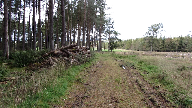
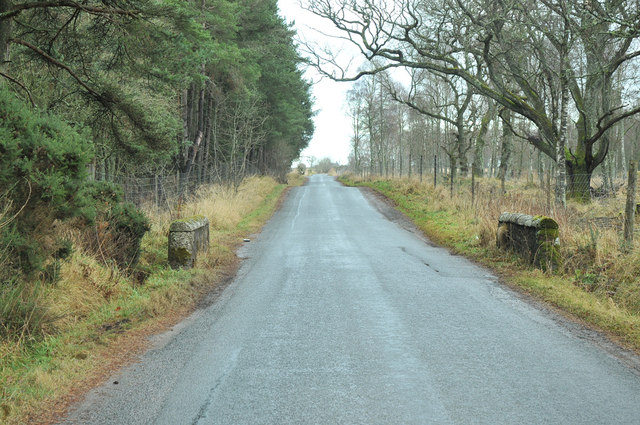
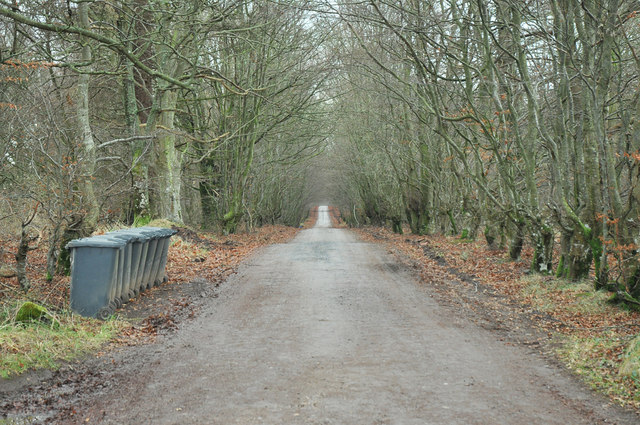
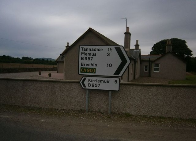
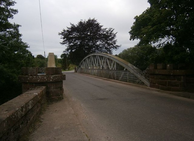
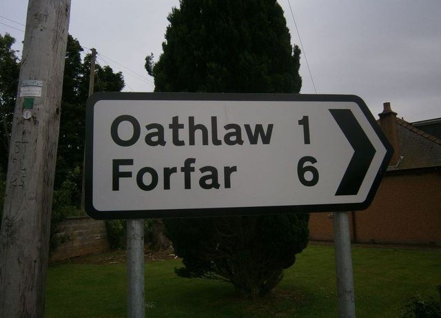
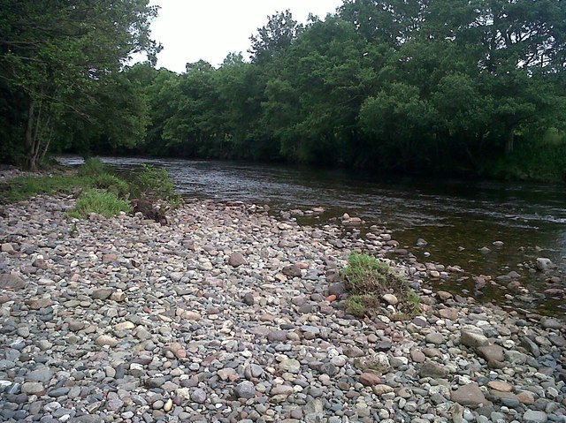
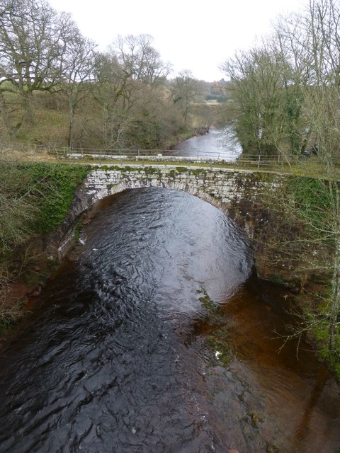
Castle Hill Images

Images are sourced within 2km of 56.705/-2.907 or Grid Reference NO4457. Thanks to Geograph Open Source API. All images are credited.

Angus arable Looking over the Bog Burn, now a straight drainage channel, although the grass in the foreground is still wet. Drier slopes over the burn have been growing cereals. 

The Highland Boundary Fault dominates the background.
Angus arable
Looking over the Bog Burn, now a straight drainage channel, although the grass in the foreground is still wet. Drier slopes over the burn have been growing cereals. The Highland Boundary Fault dominates the background.
Bog Burn Heavier ground beside a dug out burn which acts as a drain. Under grass, while neighbouring drier land is used for cereals.
Bog Burn
Heavier ground beside a dug out burn which acts as a drain. Under grass, while neighbouring drier land is used for cereals.
Straw near Sturt Grass grows through the stubble after the harvest. This is sometimes grazed before the land is ploughed again. There is a lot of woodland in the area as well.
Straw near Sturt
Grass grows through the stubble after the harvest. This is sometimes grazed before the land is ploughed again. There is a lot of woodland in the area as well.
Woodland, Auchleuchrie The block to the right (east) has been felled.
Woodland, Auchleuchrie
The block to the right (east) has been felled.
Minor road near Shielhill Bridge
Private road to Inshewan Estate
Road junction near Baldoukie
Tannadice Sign Post Sign Post At Justinhaugh
Tannadice Sign Post
Sign Post At Justinhaugh
Bridge At Justinhaugh View Of The Bridge At Justinhaugh
Bridge At Justinhaugh
View Of The Bridge At Justinhaugh
Forfar Sign At Justinhaugh Signpost At Justinhaugh
Forfar Sign At Justinhaugh
Signpost At Justinhaugh
South Esk River View Of The River South Esk
South Esk River
View Of The River South Esk
Rear of Mains of Coull Farm Wheat to the left of the field boundary. A shelter belt of trees adjoins the farm buildings.
Rear of Mains of Coull Farm
Wheat to the left of the field boundary. A shelter belt of trees adjoins the farm buildings.
Barley field near Meikle Coull Meikle Coull farm <a href="https://www.geograph.org.uk/gridref/NO4559">NO4559</a> stands on the hill beyond.
Barley field near Meikle Coull
Meikle Coull farm NO4559 stands on the hill beyond.
Old Shielhill Bridge Over the River South Esk, replaced in 1973.
Old Shielhill Bridge
Over the River South Esk, replaced in 1973.
Driveway to the Mains of Coull
The old Shielhill Bridge Over the River South Esk.
Taken from the newer bridge.
The old Shielhill Bridge
Over the River South Esk. Taken from the newer bridge.
Foreside of Cairn With sodden cereal field.
Just south of the River South Esk.
Foreside of Cairn
With sodden cereal field. Just south of the River South Esk.
B957 after heavy rain Road between arable fields.
B957 after heavy rain
Road between arable fields.
Show me another place!

Castle Hill is located at Grid Ref: NO4457 (Lat: 56.705, Lng: -2.907)

What 3 Words

///modest.consented.booster. Near Kirriemuir, Angus

Nearby Locations

Castle Hill

Related Wikis

Justinhaugh railway station

Justinhaugh railway station served the hamlet of Justinhaugh, Angus, Scotland, from 1895 to 1952 on the Forfar and Brechin Railway. == History == The station...

Battledykes

Battledykes is a Roman camp slightly to the north of Forfar, Scotland. According to Hector Boece, Pictish chiefs met at a castle by Forfar Loch to plan...

Memus

Memus is a small village in Angus, Scotland, north of Kirriemuir. It is home to the Drovers Pub. A story is told of a kelpie at Shielhill Bridge, leaving...

Tannadice, Angus

Tannadice is a village in Angus, Scotland that lies on the River South Esk and is 4 miles north of Forfar. The estate of Tannadice was formerly owned by...

Related Videos

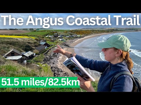
Our home coastline is full of cool wee places, so let's join up the dots and walk the whole thing!

We didn't really know about this one until Alicja found a great book on Amazon - 'Angus Coastal Trail' by James Carron. Buying ...

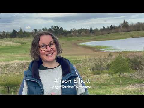
Angus Tourism Co-operative and Angus Rural Partnership

Angus Tourism Co-operative outlining the impact which Angus Rural Partnership's Rural Community-Led Local Development ...

TRAVELING TO CARNOUSTIE, ANGUS, SCOTLAND

Carnoustie #Travel #offdays Traveling Scotland Carnoustie is a town and former police burgh in the council area of Angus, ...

Nearby Amenities

Located within 500m of 56.705,-2.907
Muirifauld
Place: isolated_dwelling
Lat/Long: 56.7079205/-2.9116815
Power: pole
Lat/Long: 56.7055911/-2.899642
Power: pole
Lat/Long: 56.7055225/-2.9010442
Power: pole
Lat/Long: 56.7054721/-2.9021447
Power: pole
Lat/Long: 56.7054139/-2.9033631
Power: pole
Lat/Long: 56.7053505/-2.9046475
Power: pole
Lat/Long: 56.7052858/-2.9060237
Power: pole
Lat/Long: 56.7052133/-2.9073693
Power: pole
Lat/Long: 56.7050775/-2.9111493
Power: pole
Lat/Long: 56.7056532/-2.9120425
Power: pole
Lat/Long: 56.7062974/-2.9123323
Power: pole
Lat/Long: 56.7069196/-2.9126269
Power: pole
Lat/Long: 56.7077178/-2.9130087
Power: pole
Lat/Long: 56.704868/-2.9147352
Power: pole
Lat/Long: 56.7049336/-2.9135293
Power: pole
Lat/Long: 56.7049834/-2.9123169
The data included in this document is from www.openstreetmap.org. The data is made available under ODbL.

Have you been to Castle Hill?

Leave your review of Castle Hill below (or comments, questions and feedback).