Castle Earthworks
Heritage Site in Flintshire
Wales
Castle Earthworks
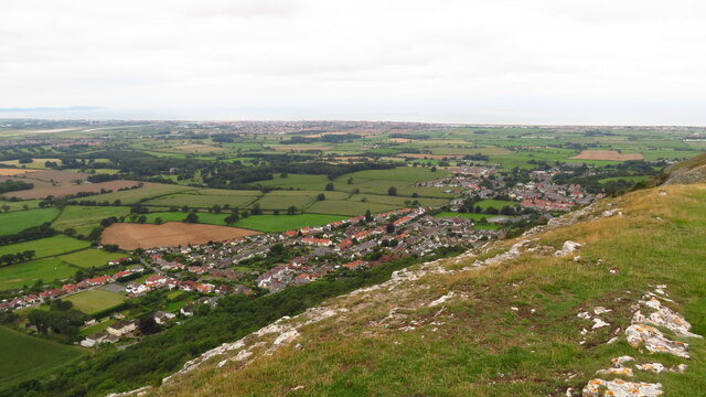
Castle Earthworks, Flintshire, is a historical heritage site located in the north-eastern part of Wales. Dating back to the Iron Age, this ancient monument offers a fascinating glimpse into the region's rich history and cultural heritage. The site is situated on a hilltop, providing panoramic views of the surrounding landscape.
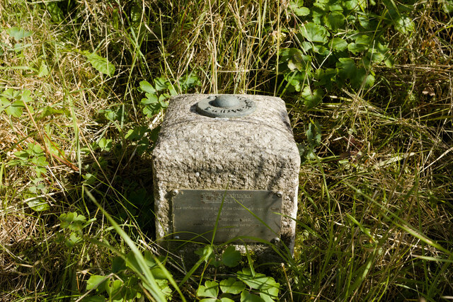
The earthworks consist of a series of defensive ramparts and ditches, which were once part of a hillfort. The fortification measures approximately 200 meters in diameter and was constructed using locally sourced materials, such as earth and stone. The impressive defensive system reflects the strategic importance of the site during ancient times.
Archaeological excavations conducted at Castle Earthworks have revealed the presence of Iron Age pottery, tools, and other artifacts, shedding light on the daily lives and activities of the people who once inhabited the hillfort. These findings have provided valuable insights into the social, economic, and political aspects of Iron Age society in the region.
Today, Castle Earthworks serves as a popular destination for history enthusiasts, archaeologists, and tourists alike. Visitors can explore the well-preserved earthworks, walk along the ancient ramparts, and soak in the breathtaking views from the hilltop. Interpretive signage and information boards are available on-site, providing educational resources about the history and significance of the site.
Castle Earthworks, Flintshire, stands as a testament to the enduring legacy of the Iron Age inhabitants of Wales and continues to be an important cultural landmark in the region.
If you have any feedback on the listing, please let us know in the comments section below.
Castle Earthworks Images
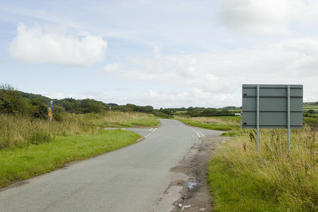
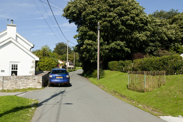
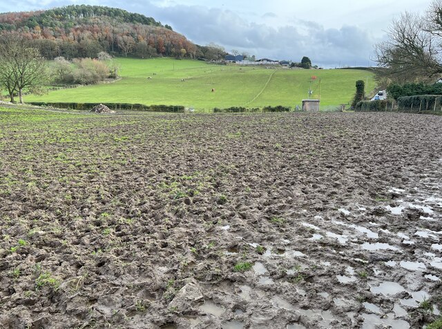
Images are sourced within 2km of 53.303/-3.403 or Grid Reference SJ0679. Thanks to Geograph Open Source API. All images are credited.


Castle Earthworks is located at Grid Ref: SJ0679 (Lat: 53.303, Lng: -3.403)
Unitary Authority: Denbighshire
Police Authority: North Wales
What 3 Words
///responded.system.sharpens. Near Dyserth, Denbighshire
Nearby Locations
Related Wikis
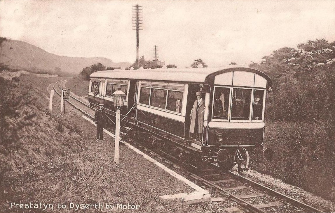
Dyserth railway station
Dyserth railway station served the village of Dyserth, Flintshire (now Denbighshire), Wales. It was the southern terminus of the 2 miles 70 chains (4.6...

Maes Hiraddug
Maes Hiraddug is a Site of Special Scientific Interest in the preserved county of Clwyd, north Wales. It is species-rich neutral grassland which includes...
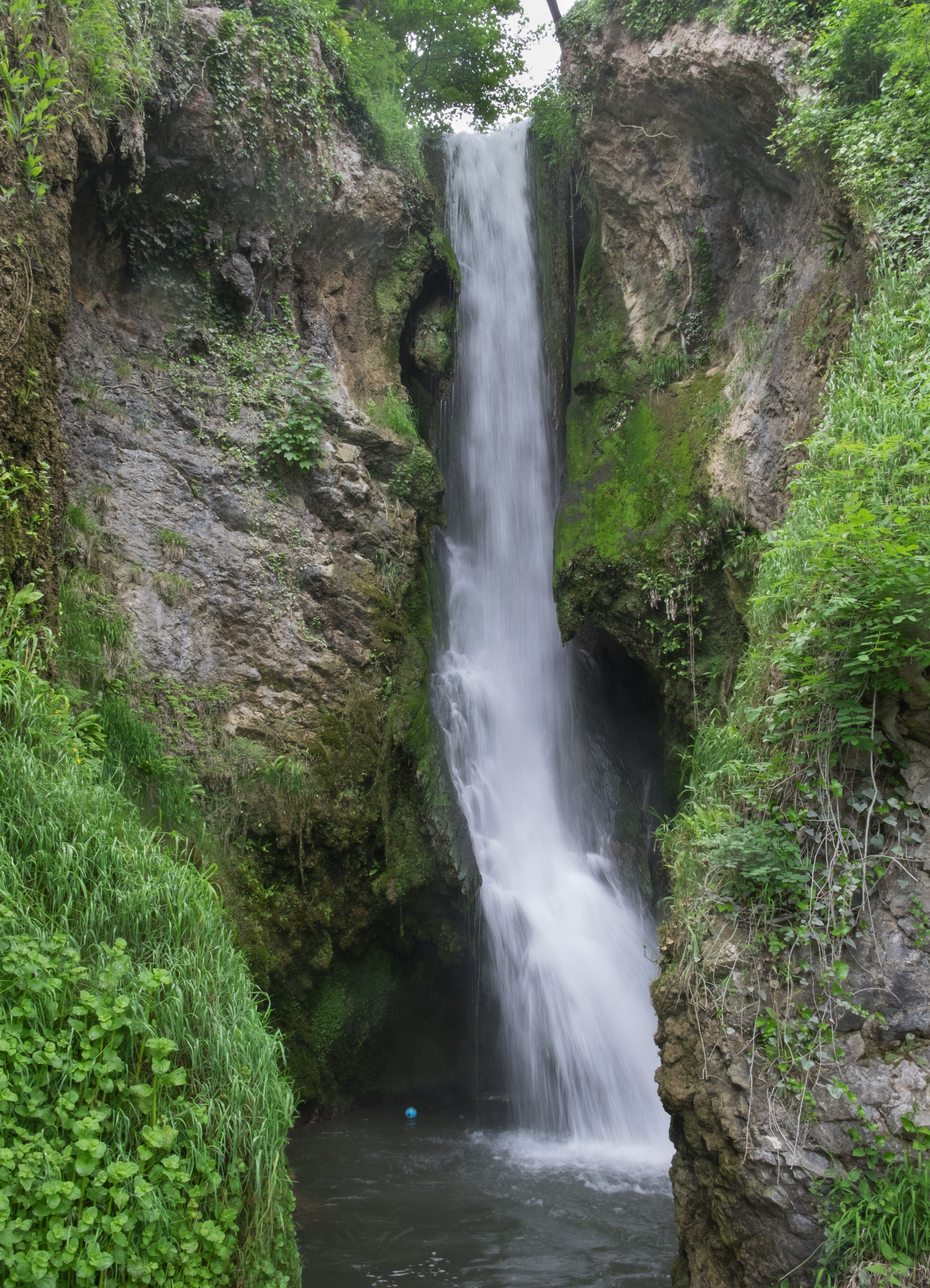
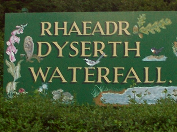
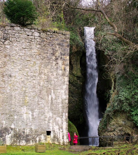
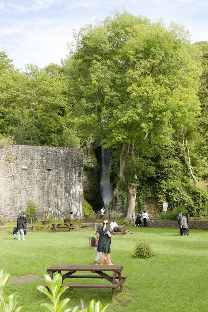
Dyserth Waterfall
Dyserth Waterfall is a waterfall in Dyserth, North Wales. The River Ffyddion, a tributary of the River Clwyd, falls down a 70-foot ledge creating the waterfall...
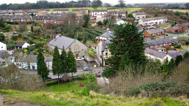
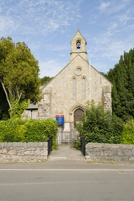
Dyserth
Dyserth (Welsh: Diserth) is a village, community and electoral ward in Denbighshire, Wales. Its population at the 2011 United Kingdom census was 2,269...
Nearby Amenities
Located within 500m of 53.303,-3.403Have you been to Castle Earthworks?
Leave your review of Castle Earthworks below (or comments, questions and feedback).