Castle Bank

Heritage Site in Oxfordshire Cherwell

England

Castle Bank

Wroxton Mill
Wroxton Mill Credit: David Stowell

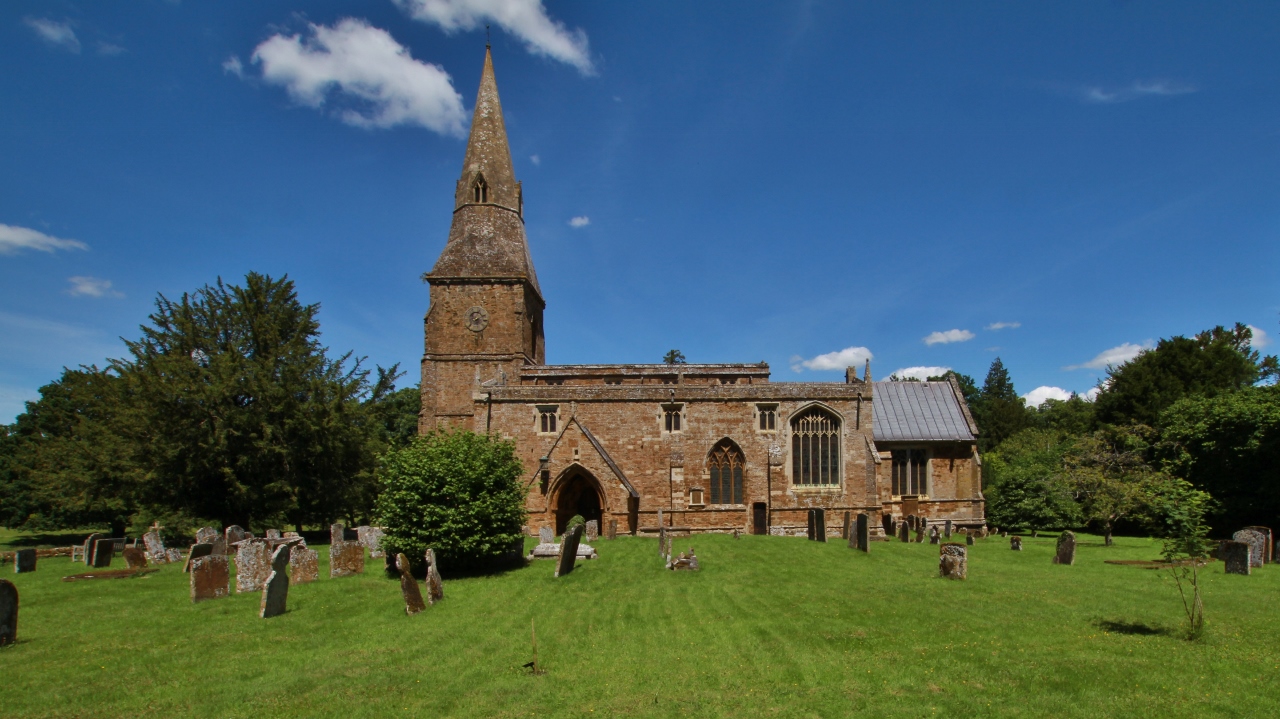
Castle Bank is a historic site located in Oxfordshire, England. It is known for its rich heritage and architectural significance that attracts both locals and tourists alike. The site is situated on a picturesque hilltop, offering panoramic views of the surrounding countryside.

The origin of Castle Bank dates back to the medieval period, with its earliest records dating to the 12th century. It was originally constructed as a defensive fortification, strategically positioned to safeguard the region. Over the centuries, the castle underwent several modifications and expansions, reflecting the changing needs and architectural styles of the time.

Today, visitors to Castle Bank can explore the remnants of the castle's original structure, including its imposing stone walls and towers. The site also features a well-preserved gatehouse, providing a glimpse into the castle's past grandeur. The surrounding landscape is dotted with archaeological remains, including evidence of a moat and earthworks, further adding to the historical significance of the site.

Castle Bank offers a range of activities and amenities for visitors. Guided tours are available, providing insight into the castle's history and offering a deeper understanding of the site's significance. The castle grounds also provide ample space for picnics and leisurely walks, allowing visitors to enjoy the stunning views and tranquil atmosphere.

In addition to its historical importance, Castle Bank is a popular venue for events and cultural activities. It often hosts historical reenactments, concerts, and art exhibitions, bringing the site to life and engaging visitors in a unique and immersive experience.

Overall, Castle Bank in Oxfordshire stands as a testament to the region's rich heritage and offers a captivating journey into the past for all who visit.

If you have any feedback on the listing, please let us know in the comments section below.
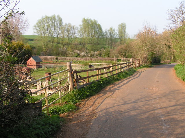
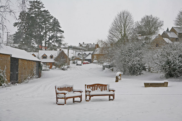
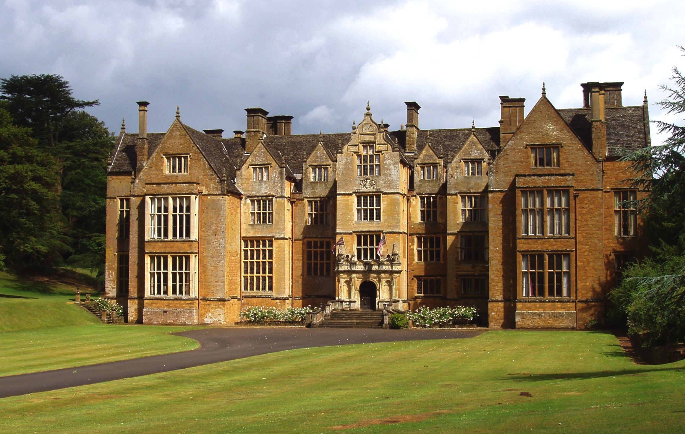
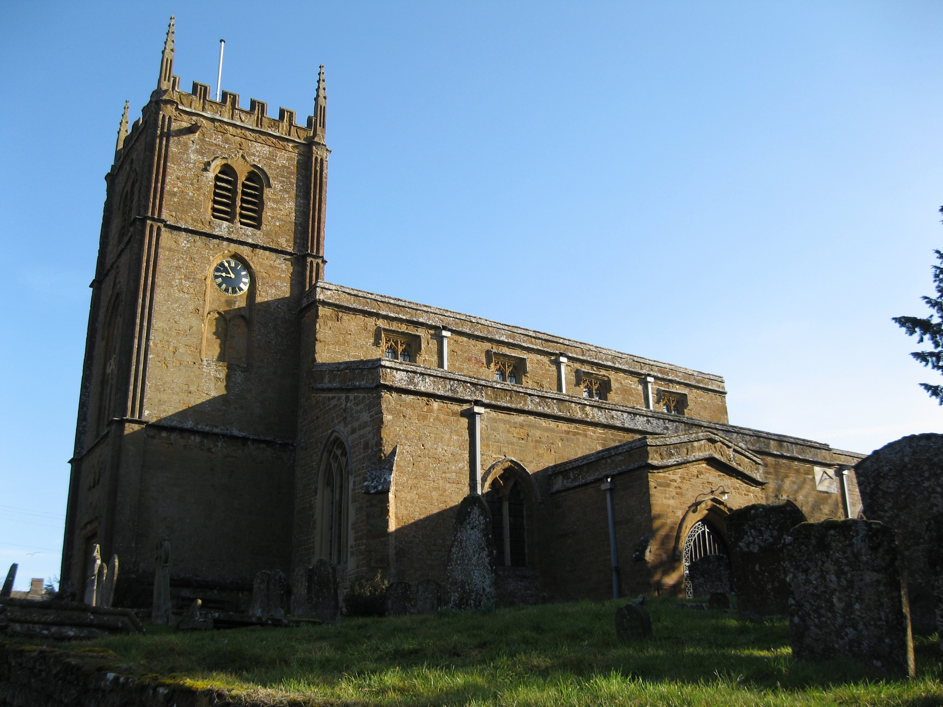
Castle Bank Images

Images are sourced within 2km of 52.062/-1.408 or Grid Reference SP4040. Thanks to Geograph Open Source API. All images are credited.

Wroxton Mill
Wroxton Mill
Stratford Road bridge and Balscote ironstone quarry The bridge parapet in the foreground is that of a bridge under the Stratford Road built in 1954 to allow the Oxfordshire Ironstone Quarries to extract the ironstone from the land visible beyond.  This was the Balscote Quarry which was worked between 1956 and the closure of the entire quarry system in 1967. The bridge provided a link for removal of ironstone via the quarry railway network back to <a href="https://www.geograph.org.uk/photo/199178">SP4042 : Oxfordshire Ironstone Quarries Headquarters site</a> at Wroxton for processing.
Stratford Road bridge and Balscote ironstone quarry
The bridge parapet in the foreground is that of a bridge under the Stratford Road built in 1954 to allow the Oxfordshire Ironstone Quarries to extract the ironstone from the land visible beyond. This was the Balscote Quarry which was worked between 1956 and the closure of the entire quarry system in 1967. The bridge provided a link for removal of ironstone via the quarry railway network back to SP4042 : Oxfordshire Ironstone Quarries Headquarters site at Wroxton for processing.
Golf course at Wroxton Mill This course is not shown on the OS Map and is discreetly hidden away in the little valley above Wroxton Mill.
Golf course at Wroxton Mill
This course is not shown on the OS Map and is discreetly hidden away in the little valley above Wroxton Mill.
Balscote A marker stone commemorating the millennium situated on a green in the SE corner of the village.
Balscote
A marker stone commemorating the millennium situated on a green in the SE corner of the village.
Site of Langley Ironstone Quarry The whole of the area in this picture as far as the woods and the far lines of trees was quarried for ironstone between 1926 and 1943.  The ironstone was not far below the surface and as it was removed the land was returned to cultivation - but 15-20 metres below its previous level.  This view is from the bridge constructed under the Stratford Road in 1954 to allow access to open up the Balscott Quarry area.  The shallow depression across the fields leading away from the photographer marks the course of the railway from the newer quarry area back to the <a href="https://www.geograph.org.uk/photo/199178">SP4042 : Oxfordshire Ironstone Quarries Headquarters site</a> which is just visible to the right of the woodland in the centre of the picture.
Site of Langley Ironstone Quarry
The whole of the area in this picture as far as the woods and the far lines of trees was quarried for ironstone between 1926 and 1943. The ironstone was not far below the surface and as it was removed the land was returned to cultivation - but 15-20 metres below its previous level. This view is from the bridge constructed under the Stratford Road in 1954 to allow access to open up the Balscott Quarry area. The shallow depression across the fields leading away from the photographer marks the course of the railway from the newer quarry area back to the SP4042 : Oxfordshire Ironstone Quarries Headquarters site which is just visible to the right of the woodland in the centre of the picture.
View towards Tythe Farm Looking across the square from Shutford Road.
View towards Tythe Farm
Looking across the square from Shutford Road.
Shutford Bridge Although named on the OS Map this bridge over a stream in the NE corner of the square is not particularly distinctive.
Shutford Bridge
Although named on the OS Map this bridge over a stream in the NE corner of the square is not particularly distinctive.
The Tite, Shutford The Tite which is fed by the spring emerging from the pipe in the bank at the back left. The spring has never stopped flowing during the worst drought.
The Tite, Shutford
The Tite which is fed by the spring emerging from the pipe in the bank at the back left. The spring has never stopped flowing during the worst drought.
Allotments at Plot Road, Lower End, Shutford Shutford has a number of allotments available for rent. These are located at the northern end of Shutford.
Allotments at Plot Road, Lower End, Shutford
Shutford has a number of allotments available for rent. These are located at the northern end of Shutford.
Five Turns, Shutford A well known local landmark just beyond the eastern boundary of Shutford. Starting from the south going clockwise, the roads go to, Tadmarton Mill, Shutford 1/4 mile, Balscote, Wroxton Mill, North Newington then on to Banbury.
Five Turns, Shutford
A well known local landmark just beyond the eastern boundary of Shutford. Starting from the south going clockwise, the roads go to, Tadmarton Mill, Shutford 1/4 mile, Balscote, Wroxton Mill, North Newington then on to Banbury.
A house in Balscote This house and its land was formerly owned by Brasenose College, Oxford, with 4 other estates in Balscote. It was sold by them in 1866.
A house in Balscote
This house and its land was formerly owned by Brasenose College, Oxford, with 4 other estates in Balscote. It was sold by them in 1866.
Balscote (or Balscott) in the Snow Looking up from 'The Slade' towards Manor Farm Lane.
Balscote (or Balscott) in the Snow
Looking up from 'The Slade' towards Manor Farm Lane.
Skyline trees catch the evening sun There several groups of pine trees planted in and around Balscott. Anybody know when and why?
Skyline trees catch the evening sun
There several groups of pine trees planted in and around Balscott. Anybody know when and why?
Balscott in the Snow (February 2007) A similar view to the 2003 shot on here.
Balscott in the Snow (February 2007)
A similar view to the 2003 shot on here.
Winter view along Back Lane Shutford Looking towards Shutford along Back Lane. Taken 6th April 2008
Winter view along Back Lane Shutford
Looking towards Shutford along Back Lane. Taken 6th April 2008
Gate into field near Shutford
Road to Lower Tadmarton
Field near Shutford Manor
Show me another place!

Castle Bank is located at Grid Ref: SP4040 (Lat: 52.062, Lng: -1.408)

Administrative County: Oxfordshire

District: Cherwell

Police Authority: Thames Valley

What 3 Words

///glares.pokes.nylon. Near Banbury, Oxfordshire

Related Wikis

Oxfordshire Ironstone Railway

The Oxfordshire Ironstone Railway was a standard-gauge mineral railway that served an ironstone quarry near the village of Wroxton in Oxfordshire. ��2...

Wroxton Abbey

Wroxton Abbey is a Jacobean house in Oxfordshire, with a 1727 garden partly converted to the serpentine style between 1731 and 1751. It is 2.5 miles (4...

Wroxton

Wroxton is a village and civil parish in the north of Oxfordshire about 3 miles (5 km) west of Banbury. The 2011 Census recorded the parish's population...

North Newington

North Newington is a village and civil parish in northern Oxfordshire, England, about 2 miles (3 km) west of Banbury. The 2011 Census recorded the parish...

Shutford

Shutford is a village and civil parish about 4.5 miles (7.2 km) west of Banbury in Oxfordshire. The village is about 475 feet (145 m) above sea level....

Balscote

Balscote or Balscott is a village in the civil parish of Wroxton, Oxfordshire, about 4 miles (6.4 km) west of Banbury. The Domesday Book of 1086 records...

Drayton, Cherwell

Drayton is a village and civil parish in the valley of the Sor Brook in Oxfordshire, about 2 miles (3 km) northwest of Banbury. The 2011 Census recorded...

Broughton, Oxfordshire

Broughton is a village and civil parish in northern Oxfordshire, England, about 2+1⁄2 miles (4 km) southwest of Banbury. The 2011 Census recorded the...

Nearby Amenities

Located within 500m of 52.062,-1.408
Frenches Barn
Building: residential
Lat/Long: 52.0630757/-1.4010232
Power: pole
Lat/Long: 52.0663806/-1.4092984
Power: pole
Lat/Long: 52.0657645/-1.4106989
Power: pole
Lat/Long: 52.0651572/-1.412071
The data included in this document is from www.openstreetmap.org. The data is made available under ODbL.

Have you been to Castle Bank ?

Leave your review of Castle Bank below (or comments, questions and feedback).