Castell y Gaer
Heritage Site in Merionethshire
Wales
Castell y Gaer
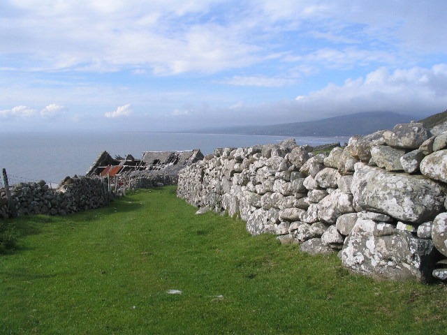
Castell y Gaer is a significant heritage site located in Merionethshire, Wales. This ancient hillfort, perched on a hilltop, offers breathtaking views of the surrounding landscape. It is believed to have been built during the Iron Age, around 2,500 years ago.
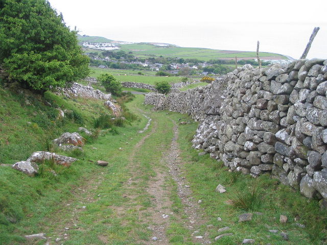
The site is surrounded by a series of defensive earthworks, consisting of multiple ramparts and ditches. These earthworks encircle an area of approximately 1.5 hectares, providing evidence of the fort's strategic importance during its time. The fortification is relatively well-preserved, with the ramparts standing at an impressive height, showcasing the impressive engineering skills of its builders.
Archaeological investigations have revealed that Castell y Gaer was likely a bustling community, with evidence of domestic structures, storage pits, and even a burial ground. The fort's location, situated on a prominent hill, would have provided its inhabitants with a vantage point from which they could survey the surrounding countryside and potentially defend against any potential threats.
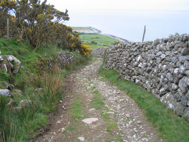
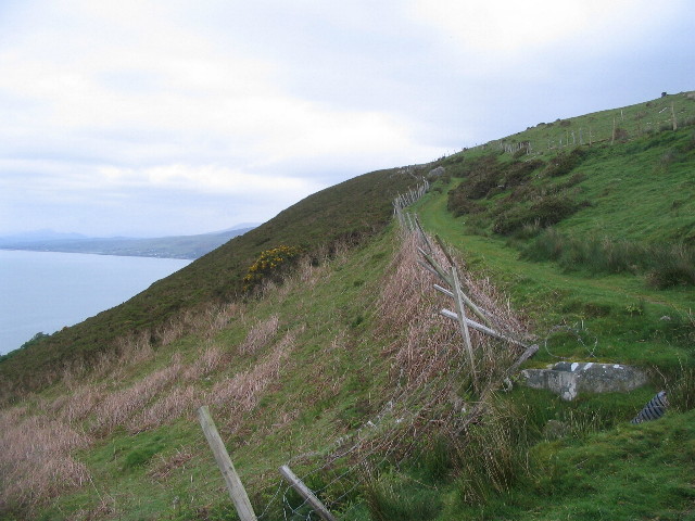
Today, visitors to Castell y Gaer can explore the site and marvel at the ancient remains. The well-marked footpaths lead visitors through the earthworks, allowing them to imagine what life was like for the Iron Age inhabitants. The panoramic views from the hilltop are truly stunning, showcasing the natural beauty of the Welsh countryside.
Castell y Gaer is a captivating heritage site, offering a glimpse into Wales' ancient past. With its rich archaeological significance and breathtaking views, it is a must-visit destination for history enthusiasts and nature lovers alike.
If you have any feedback on the listing, please let us know in the comments section below.
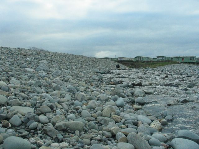
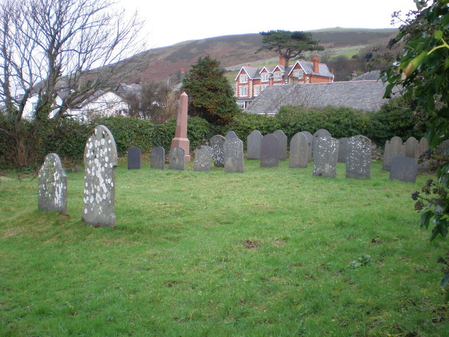
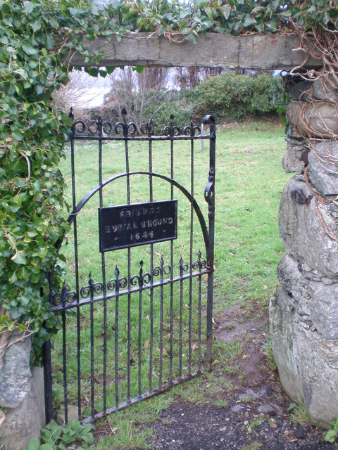
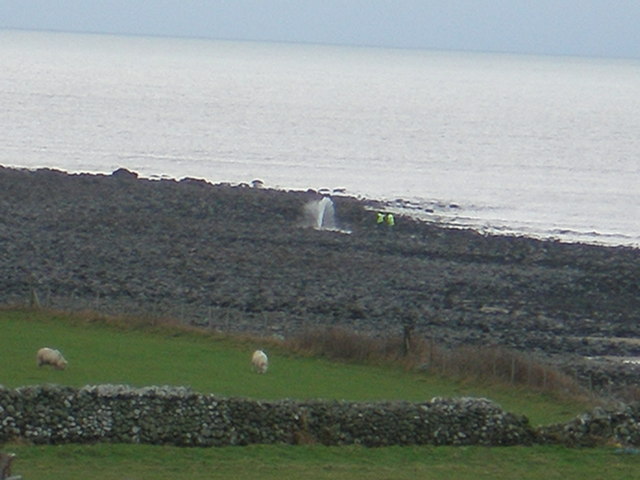
Castell y Gaer Images
Images are sourced within 2km of 52.665/-4.078 or Grid Reference SH5909. Thanks to Geograph Open Source API. All images are credited.


Castell y Gaer is located at Grid Ref: SH5909 (Lat: 52.665, Lng: -4.078)
Unitary Authority: Gwynedd
Police Authority: North Wales
What 3 Words
///regulator.pokes.piston. Near Barmouth, Gwynedd
Nearby Locations
Related Wikis

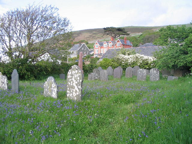
Llwyngwril
Llwyngwril () is a coastal village, in Llangelynnin community, two miles north of the village of Llangelynnin and eleven miles south-west of Dolgellau...

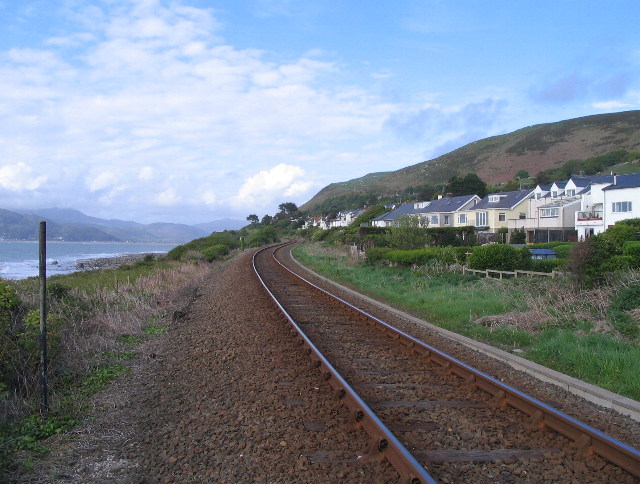
Llwyngwril railway station
Llwyngwril railway station serves the village of Llwyngwril in Gwynedd, Wales. The station is an unstaffed halt on the Cambrian Coast Railway with passenger...

A493 road
The A493 is a road located on the west coast of mid Wales and connects Dolgellau to Machynlleth via the coast, avoiding Corris and Cross Foxes. == Route... ==

Llangelynin railway station
Llangelynin station was a single-platform halt on the Cambrian Line, which served the small village of Llangelynin in Gwynedd, Wales. It was opened in...

Llangelynnin, Gwynedd
Llangelynnin (; also Llangelynin) is a small village and community near Tywyn, Gwynedd, Wales. Although the village is usually known as Llangelynnin in...
Barmouth Bay
Barmouth Bay (Welsh: Bae Bermo) is a bay in Gwynedd on the west coast of Wales, forming a part of the much larger Cardigan Bay. The coast fronting onto...
Fairbourne Railway
The Fairbourne Railway (Welsh: Rheilffordd y Friog) is a 12+1⁄4 in (311 mm) gauge miniature railway running for 2 miles (3.2 km) from the village of Fairbourne...

Friog
Friog (Welsh: Y Friog) is a small village in North Wales, near Fairbourne. Its lake and beach are a tourist attraction to over 1,000 visitors a year. Friog...
Nearby Amenities
Located within 500m of 52.665,-4.078Have you been to Castell y Gaer?
Leave your review of Castell y Gaer below (or comments, questions and feedback).