Beith

Settlement in Ayrshire

Scotland

Beith

Wardrop Street, Beith The road is the B777, here looking east from close to its junction with the A737.
The building on the right is currently in use for parade nights by the Garnock Valley detachment of the West Lowland Battalion, Army Cadets Force.
Wardrop Street, Beith Credit: Richard Dorrell

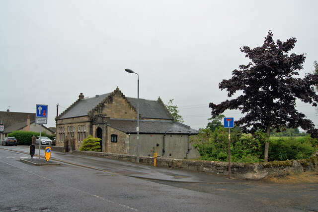
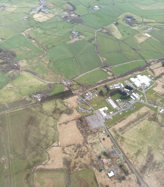
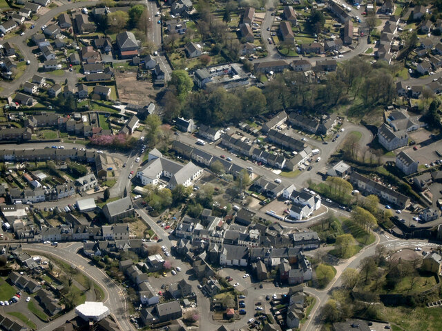
Beith is a small town located in North Ayrshire, Scotland. It is situated approximately 20 miles southwest of Glasgow and 8 miles inland from the coastal town of Irvine. With a population of around 6,500 people, Beith is known for its historic charm and idyllic countryside surroundings.

The town has a rich history that dates back to medieval times, and it played a significant role in the weaving and textile industries during the 18th and 19th centuries. The remnants of this industrial past can still be seen in some of the town's architecture, including the old mill buildings that have been repurposed for modern use.

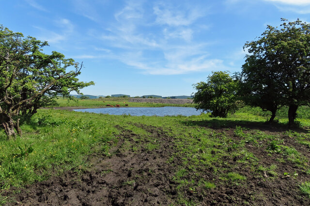
Beith offers a range of amenities and services to its residents and visitors. It has a variety of local shops, cafes, and pubs, providing a sense of community and a place for socializing. The town also has several parks and green spaces, such as Eglinton Country Park, which offers beautiful walking trails and recreational activities.

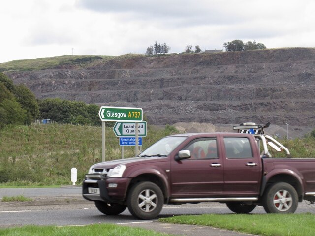
In terms of transportation, Beith is well-connected to nearby towns and cities. The town has a railway station on the Glasgow-Largs line, providing easy access to Glasgow and other destinations. Additionally, there are regular bus services that connect Beith to surrounding areas.

Overall, Beith is a picturesque town with a rich history and a strong sense of community. Its location in the scenic Ayrshire countryside makes it an attractive place to live or visit, offering a balance between rural tranquility and accessibility to larger urban centers.

If you have any feedback on the listing, please let us know in the comments section below.
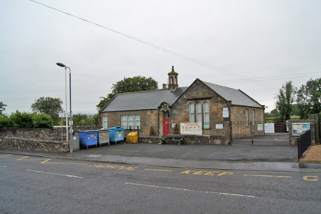
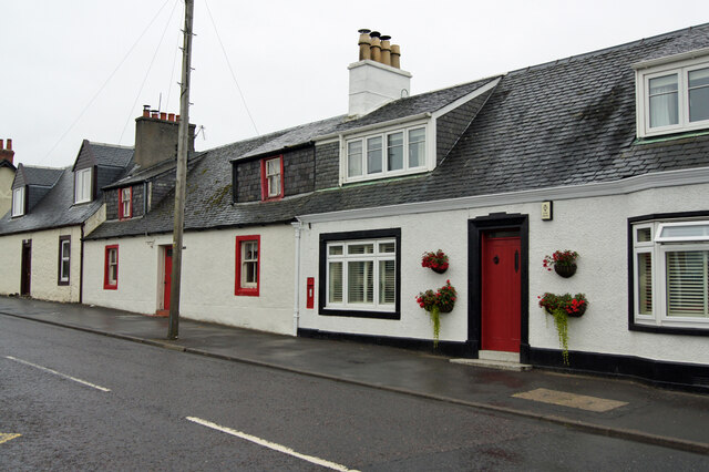
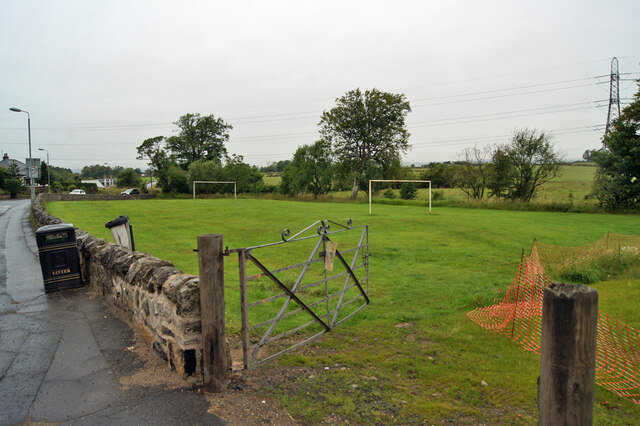
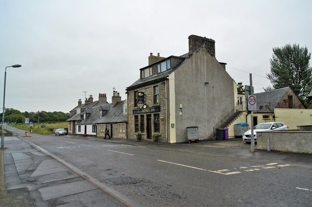
Beith Images

Images are sourced within 2km of 55.752011/-4.63117 or Grid Reference NS3454. Thanks to Geograph Open Source API. All images are credited.

Wardrop Street, Beith The road is the B777, here looking east from close to its junction with the A737.
The building on the right is currently in use for parade nights by the Garnock Valley detachment of the West Lowland Battalion, Army Cadets Force.
Wardrop Street, Beith
The road is the B777, here looking east from close to its junction with the A737. The building on the right is currently in use for parade nights by the Garnock Valley detachment of the West Lowland Battalion, Army Cadets Force.
Head Street, Beith Viewed across the A737 from Wardrop Street.
Head Street was temporarily closed to traffic on this day for resurfacing.
Head Street, Beith
Viewed across the A737 from Wardrop Street. Head Street was temporarily closed to traffic on this day for resurfacing.
Gateside Primary School A North Ayrshire Council primary school with a total capacity of 105 children aged 3 to 11, though the current roll is only 40 in P1 to P7 and a further 13 in the Early Years class.
Gateside Primary School
A North Ayrshire Council primary school with a total capacity of 105 children aged 3 to 11, though the current roll is only 40 in P1 to P7 and a further 13 in the Early Years class.
Cottages in Gateside Roughly centrally in this image is a wall-mounted post box, which may suggest that the florally-decorated cottage it is attached to was at one time the village post office.
Cottages in Gateside
Roughly centrally in this image is a wall-mounted post box, which may suggest that the florally-decorated cottage it is attached to was at one time the village post office.
Playing field, Gateside Located immediately adjacent to the village primary school.
Playing field, Gateside
Located immediately adjacent to the village primary school.
The Gateside Inn Popular pub and restaurant in Gateside village.
The Gateside Inn
Popular pub and restaurant in Gateside village.
Village hall, Gateside Built 1897 (dated) in memory of Isobel Ralston Patrick. Isobel lived with her family at nearby Trearne House (now demolished), and died, possibly of tuberculosis, aged just 19. The hall has a plaque above the entrance giving her dates of birth and death. 
(See <a href="https://www.geograph.org.uk/photo/6936998">NS3653 : Memorial plaque, Gateside village hall</a>).
Village hall, Gateside
Built 1897 (dated) in memory of Isobel Ralston Patrick. Isobel lived with her family at nearby Trearne House (now demolished), and died, possibly of tuberculosis, aged just 19. The hall has a plaque above the entrance giving her dates of birth and death. (See NS3653 : Memorial plaque, Gateside village hall).
Village hall, Gateside Built 1897 (dated) in memory of Isobel Ralston Patrick. Category C listed. 
Isobel lived with her family at nearby Trearne House (now demolished), and died, possibly of tuberculosis, aged just 19. The hall has a plaque above the entrance giving her dates of birth and death. 
(See <a href="https://www.geograph.org.uk/photo/6936998">NS3653 : Memorial plaque, Gateside village hall</a>).
Village hall, Gateside
Built 1897 (dated) in memory of Isobel Ralston Patrick. Category C listed. Isobel lived with her family at nearby Trearne House (now demolished), and died, possibly of tuberculosis, aged just 19. The hall has a plaque above the entrance giving her dates of birth and death. (See NS3653 : Memorial plaque, Gateside village hall).
Memorial plaque, Gateside village hall The hall was built in memory of Isobel Ralston Patrick.
This plaque, above the entrance, gives the dates of her birth and death. 
(Wider views of the hall: <a href="https://www.geograph.org.uk/photo/6936996">NS3653 : Village hall, Gateside</a>, <a href="https://www.geograph.org.uk/photo/6936994">NS3653 : Village hall, Gateside</a>).
Memorial plaque, Gateside village hall
The hall was built in memory of Isobel Ralston Patrick. This plaque, above the entrance, gives the dates of her birth and death. (Wider views of the hall: NS3653 : Village hall, Gateside, NS3653 : Village hall, Gateside).
Could be a long wait... A very large herd of dairy cattle were ambling slowly from one part of Broadstone Farm to another, blocking the local road for quite a while.
Could be a long wait...
A very large herd of dairy cattle were ambling slowly from one part of Broadstone Farm to another, blocking the local road for quite a while.
Beith from the air The A737 road skirts around the south and east sides of the town. The route of the former Beith branch of the Glasgow, Barrhead & Kilmarnock Joint Railway can be discerned in the foreground. This five mile line closed to passengers in November 1962 and to freight in 1964.
Beith from the air
The A737 road skirts around the south and east sides of the town. The route of the former Beith branch of the Glasgow, Barrhead & Kilmarnock Joint Railway can be discerned in the foreground. This five mile line closed to passengers in November 1962 and to freight in 1964.
DM Beith from the air The north corner of the vast site at the B706 road can be seen in this view.
DM Beith from the air
The north corner of the vast site at the B706 road can be seen in this view.
Beith from the air The A737 road skirts around the south and east sides of the town. The route of the former Beith branch of the Glasgow, Barrhead & Kilmarnock Joint Railway can be clearly seen in the foreground. This five mile line closed to passengers in November 1962 and to freight in 1964.

Barr Loch, Castle Semple Loch and Lochwinnoch can be seen in the distance.
Beith from the air
The A737 road skirts around the south and east sides of the town. The route of the former Beith branch of the Glasgow, Barrhead & Kilmarnock Joint Railway can be clearly seen in the foreground. This five mile line closed to passengers in November 1962 and to freight in 1964. Barr Loch, Castle Semple Loch and Lochwinnoch can be seen in the distance.
Beith from the air Beith Primary School is prominent on the right, with Beith Parish Church visible on the left.
Beith from the air
Beith Primary School is prominent on the right, with Beith Parish Church visible on the left.
Beith from the air Main Street and Bellman's Close are in the foreground.
Beith from the air
Main Street and Bellman's Close are in the foreground.
Cattle at Longbar Pool Highland cattle grazing in the damp conditions at Longbar Pool near Glengarnock with bonded warehouses in the background.
Cattle at Longbar Pool
Highland cattle grazing in the damp conditions at Longbar Pool near Glengarnock with bonded warehouses in the background.
Towards Longbar Pool A muddy access track leading to a small pool of water in old industrial land with modern whisky bonds in the background.
Towards Longbar Pool
A muddy access track leading to a small pool of water in old industrial land with modern whisky bonds in the background.
Clerksbridge Toll roundabout Loanhead Quarry in the background.
Clerksbridge Toll roundabout
Loanhead Quarry in the background.
Show me another place!

Beith is located at Grid Ref: NS3454 (Lat: 55.752011, Lng: -4.63117)

Unitary Authority: North Ayrshire

Police Authority: Ayrshire

What 3 Words

///petulant.mammoth.cove. Near Beith, North Ayrshire

Nearby Locations

Beith Mossneuk Strip

Related Wikis

Beith

Beith is a small town in the Garnock Valley, North Ayrshire, Scotland approximately 20 miles (30 kilometres) south-west of Glasgow. The town is situated...
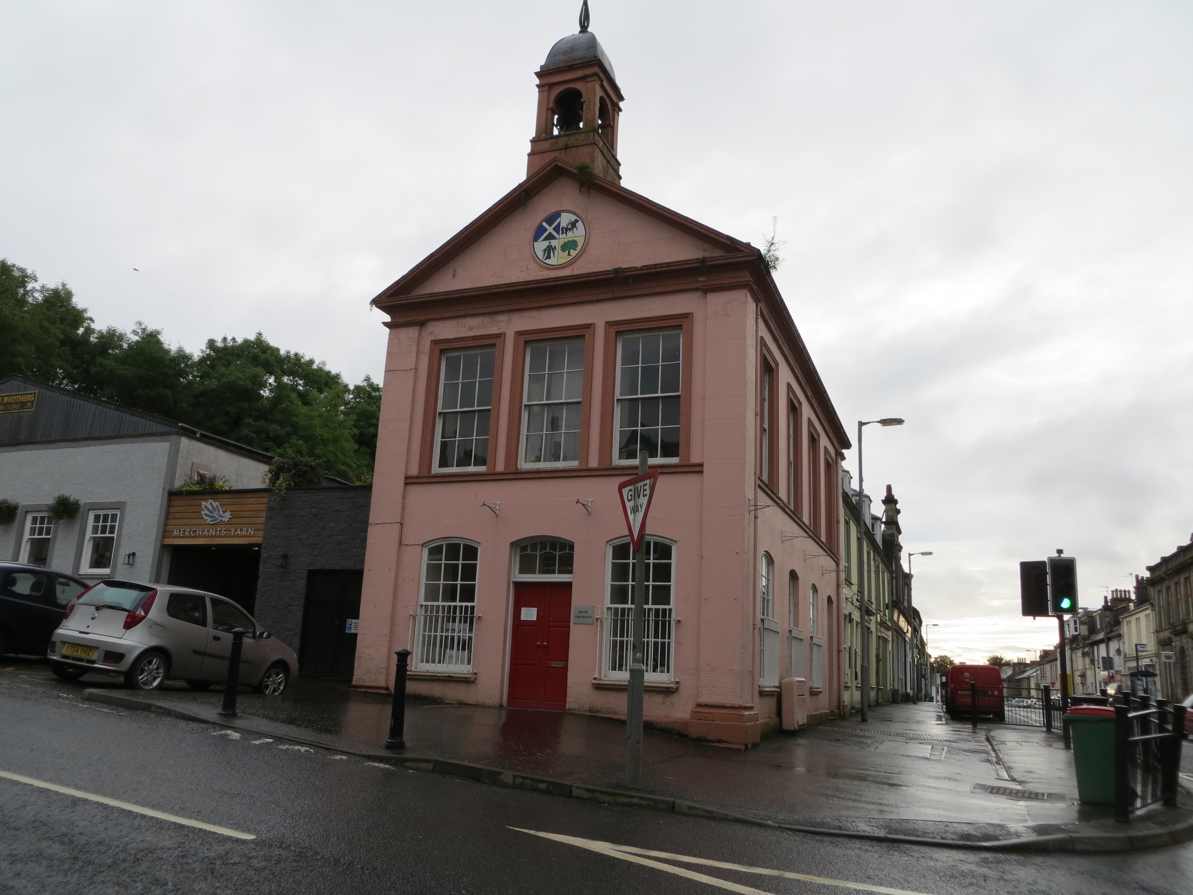
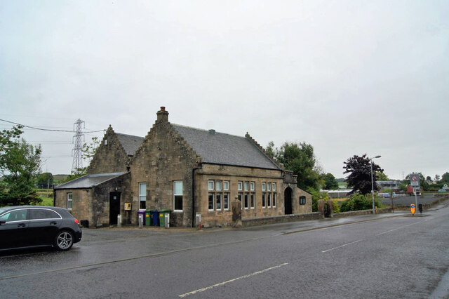
Beith Townhouse

Beith Townhouse is a municipal building in The Strand, Beith, North Ayrshire, Scotland. The structure, which is currently used as an information and heritage...

Bellsdale Park

Bellsdale Park is a football ground in Beith, Scotland. It was the home ground of Beith F.C. during their time in the Scottish Football League, and is...

Beith Town railway station

Beith Town railway station was a railway station serving the town of Beith, North Ayrshire, Scotland. The station was originally part of the Glasgow, Barrhead...

Nearby Amenities

Located within 500m of 55.752011,-4.63117
Beith
Name En: Beith
Name Gd: Beithe
Name Sco: Beithe
Place: town
Population: 6210
Wikidata: Q1013620
Wikipedia: en:Beith
Lat/Long: 55.7507054/-4.6327829
Barrier: bollard
Bollard: fixed
Lat/Long: 55.7521052/-4.6320828
Atm
Operator: LINK
Lat/Long: 55.7534172/-4.633091
Entrance: main
Lat/Long: 55.7479419/-4.6330609
Defibrillator
Defibrillator Location: Inside foyer Beith Primary School.
Emergency: defibrillator
Indoor: yes
Lat/Long: 55.747929/-4.6331324
Bicycle Parking
Bicycle Parking: stands
Capacity: 4
Covered: no
Fee: no
Lat/Long: 55.7507979/-4.6328013
Power: pole
Lat/Long: 55.7544141/-4.6244842
Power: pole
Lat/Long: 55.7539757/-4.6243821
The data included in this document is from www.openstreetmap.org. The data is made available under ODbL.

Have you been to Beith?

Leave your review of Beith below (or comments, questions and feedback).