Castell Bron-niwl

Heritage Site in Carmarthenshire

Wales

Castell Bron-niwl

Footpath and bridge near Meidrim Footpaths in this area are in quite good order, but could do with more usage
Footpath and bridge near Meidrim Credit: Alistair Hare

Castell Bron-niwl, located in Carmarthenshire, Wales, is a notable heritage site. The castle is situated on a hilltop, offering panoramic views of the surrounding countryside. It is believed to have been built in the 13th century by the Welsh prince, Rhys ap Gruffydd, as a defensive fortification.

The castle consists of a rectangular keep, or tower, with walls made of local stone. The structure is well-preserved, with its original features still intact. The entrance is through a sturdy wooden door, leading to a spiral staircase that ascends to the upper floors. Inside, there are several rooms that would have served various purposes, including living quarters, storage areas, and a great hall.

Throughout its history, Castell Bron-niwl has changed hands numerous times. It played a role in the conflicts between the Welsh and English during the medieval period. Over time, the castle fell into disuse and was abandoned, leading to its gradual deterioration.

In recent years, efforts have been made to restore the castle and preserve its historical significance. The local community, along with heritage organizations, have worked together to stabilize the structure, repair damaged sections, and create a visitor center to educate the public about its history.

Today, Castell Bron-niwl attracts tourists and history enthusiasts who visit to explore its ruins and learn about the region's past. The castle's strategic location, architectural features, and historical importance make it an intriguing destination for those interested in Welsh history and heritage.

If you have any feedback on the listing, please let us know in the comments section below.

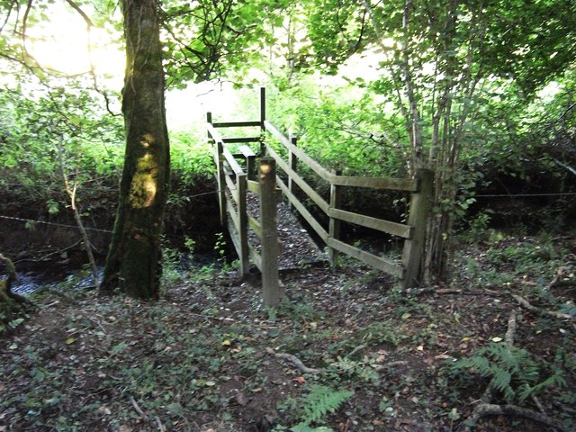
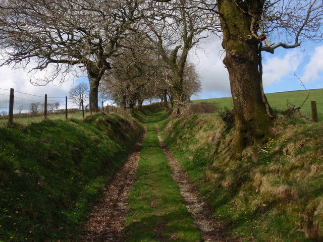
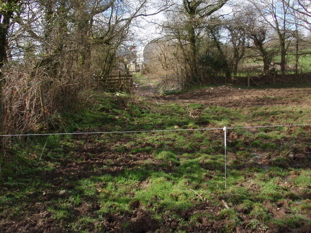
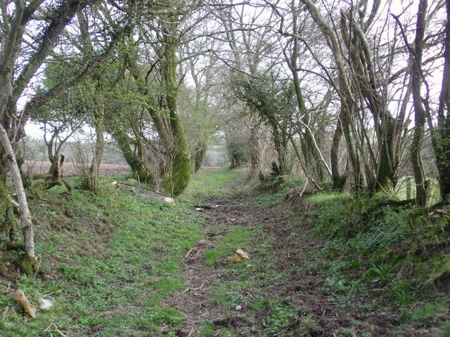
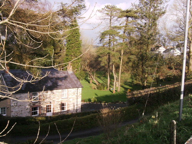
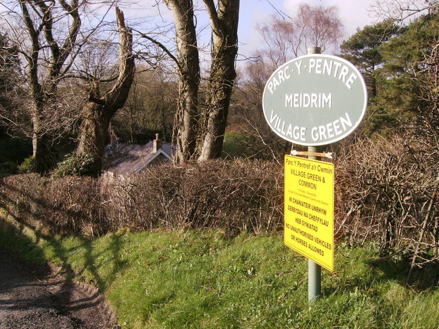
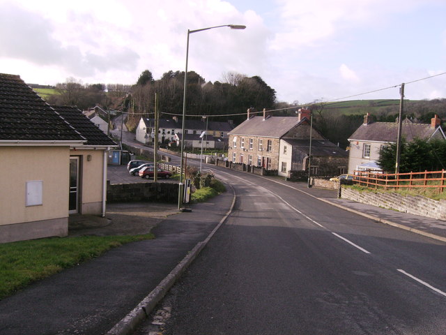
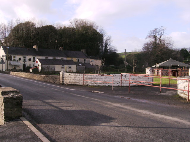
Castell Bron-niwl Images

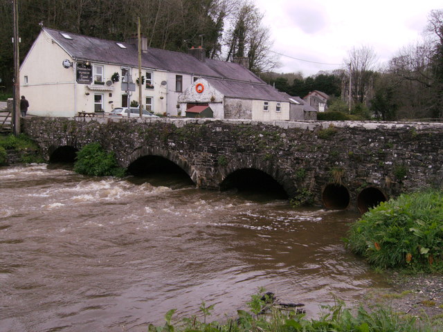
Images are sourced within 2km of 51.875/-4.477 or Grid Reference SN2922. Thanks to Geograph Open Source API. All images are credited.

Footpath and bridge near Meidrim Footpaths in this area are in quite good order, but could do with more usage
Footpath and bridge near Meidrim
Footpaths in this area are in quite good order, but could do with more usage
Ceuffordd Bryn Niwl / Bryn Niwl holloway Hen geuffordd ysblennydd a arwain lan o Ffarm Bryn Niwl i gyfeiriad Ffarm Waun Oleu Fach. Creuwyd ceuffyrdd gan erydiad, dwr a thrafnidiaeth ac y mae rhai ohonynt yn dyddio nol i'r Oes Haearn.  

A splendid old holloway climbing upwards from Bryn Niwl Farm (trans. Hill of Mist) to Waun Oleu Farm (trans. Bright Meadow). Holloways are formed by erosion, water and traffic and some date as far back as the Iron Age.
Ceuffordd Bryn Niwl / Bryn Niwl holloway
Hen geuffordd ysblennydd a arwain lan o Ffarm Bryn Niwl i gyfeiriad Ffarm Waun Oleu Fach. Creuwyd ceuffyrdd gan erydiad, dwr a thrafnidiaeth ac y mae rhai ohonynt yn dyddio nol i'r Oes Haearn. A splendid old holloway climbing upwards from Bryn Niwl Farm (trans. Hill of Mist) to Waun Oleu Farm (trans. Bright Meadow). Holloways are formed by erosion, water and traffic and some date as far back as the Iron Age.
Llwybr Waun Oleu Fach  / Waun Oleu Fach footpath Llwybr cyhoeddus yn nesau tuag at Ffarm Wern Oleu Fach i'w gweld yn y pellter. Yn y blaendir ceir wifren drydan ar draws y llwybr. Dylai'r ffarmwr ddodi biben blastig neu rywbeth cyffelyb ar ran o'r wifren er sicrau bod cerwyddyr yn gallu mynd yn eu blaen yn ddiogel. 

Public footpath approaching Wern Oleu Farm visible in the distance. In the foreground one can see an electric fence. The fence should be covered in part with a plastic tubing or something similar to enable walkers to proceed safely.
Llwybr Waun Oleu Fach / Waun Oleu Fach footpath
Llwybr cyhoeddus yn nesau tuag at Ffarm Wern Oleu Fach i'w gweld yn y pellter. Yn y blaendir ceir wifren drydan ar draws y llwybr. Dylai'r ffarmwr ddodi biben blastig neu rywbeth cyffelyb ar ran o'r wifren er sicrau bod cerwyddyr yn gallu mynd yn eu blaen yn ddiogel. Public footpath approaching Wern Oleu Farm visible in the distance. In the foreground one can see an electric fence. The fence should be covered in part with a plastic tubing or something similar to enable walkers to proceed safely.
Llwybr cyhoeddus Bwlchygwynt / Bwlchygwynt  public footpath Llwybr cyhoeddus yn arwain o Ffarm Bwlch y Gwynt at Ffarm Garllegan Fawr. Yn y gorffenol byddai pobl yn ei gerdded yn ddyddiol gan ei bod yn llwybr tarw rhwng pentrefi Gelliwen a Meidrum. Ychydig sy yn ei defnyddio bellach.

Public footpath leading from Bwlchygwynt (trans. Windy Pass) towards Garllegan Fawr Farm (trans. 'Little Garlic Stream?'). In the past people would have used the path daily as a short cut between the villages of Gelliwen and Meidrim. Nowadays, it is infrequently used.
Llwybr cyhoeddus Bwlchygwynt / Bwlchygwynt public footpath
Llwybr cyhoeddus yn arwain o Ffarm Bwlch y Gwynt at Ffarm Garllegan Fawr. Yn y gorffenol byddai pobl yn ei gerdded yn ddyddiol gan ei bod yn llwybr tarw rhwng pentrefi Gelliwen a Meidrum. Ychydig sy yn ei defnyddio bellach. Public footpath leading from Bwlchygwynt (trans. Windy Pass) towards Garllegan Fawr Farm (trans. 'Little Garlic Stream?'). In the past people would have used the path daily as a short cut between the villages of Gelliwen and Meidrim. Nowadays, it is infrequently used.
Rebuilt house at Meidrim House in 2007 photo "Top-down Development" <a href="https://www.geograph.org.uk/photo/472655">SN2920 : Top-down development?</a> now finished. Parc-y-Pentre set in the Meidrim village green
Rebuilt house at Meidrim
House in 2007 photo "Top-down Development" SN2920 : Top-down development? now finished. Parc-y-Pentre set in the Meidrim village green
Meidrim village green sign Arrow points in left direction, down a narrow drive, rebuilt house just visible, but no horses allowed or unauthorised vehicles!
Meidrim village green sign
Arrow points in left direction, down a narrow drive, rebuilt house just visible, but no horses allowed or unauthorised vehicles!
Meidrim Meidrim village with The Fountain Inn in distance on the cross roads of B4299 and B4298 and the village community hall on left
Meidrim
Meidrim village with The Fountain Inn in distance on the cross roads of B4299 and B4298 and the village community hall on left
Playground in Meidrim Village Children's play area.
Playground in Meidrim
Village Children's play area.
Afon Dewi Fawr Very muddy water after the recent heavy rains. For photographer to be in same grid square I would need waders, better to wait for the waters to go down.
Afon Dewi Fawr
Very muddy water after the recent heavy rains. For photographer to be in same grid square I would need waders, better to wait for the waters to go down.
Sewage pump station The village of Meidrim hasits own sewage treatment works further down the river, this is the pump enclosure that is in the village.
Sewage pump station
The village of Meidrim hasits own sewage treatment works further down the river, this is the pump enclosure that is in the village.
Sewage pump station Notice on gate of pump station, informative!
Sewage pump station
Notice on gate of pump station, informative!
"Stile" on Carmarthenshire footpath This is typical of the state of footpaths in west Carmarthenshire
"Stile" on Carmarthenshire footpath
This is typical of the state of footpaths in west Carmarthenshire
Ysgol Meidrim The school had this bunting/streamers on its railings: do not know for what reason, but they are still there.  With all the winds that there have been, this day in the summer, hardly any wind, but did manage to get a little "flutter" from the streamers/bunting. The road is the B4298.
Ysgol Meidrim
The school had this bunting/streamers on its railings: do not know for what reason, but they are still there. With all the winds that there have been, this day in the summer, hardly any wind, but did manage to get a little "flutter" from the streamers/bunting. The road is the B4298.
Afon Dewi Fawr 2014 A repeat of last year, but these waters are earlier. This bridge carries the B4298 over the river and the Fountain Inn (Tafarn y Ffynnon) in the background, similar photo of Ruth Sharville in 2010, and my photo of 2013.
Afon Dewi Fawr 2014
A repeat of last year, but these waters are earlier. This bridge carries the B4298 over the river and the Fountain Inn (Tafarn y Ffynnon) in the background, similar photo of Ruth Sharville in 2010, and my photo of 2013.
Information about Meidrim 1 This information board is a new addition to the parking area by the Afon Dewi Fawr, this is the left portion in Welsh.
Information about Meidrim 1
This information board is a new addition to the parking area by the Afon Dewi Fawr, this is the left portion in Welsh.
Information about Meidrim 2 Second of the pictures of the information board in the car park by the Afon Dewi Fawr. English version.
Information about Meidrim 2
Second of the pictures of the information board in the car park by the Afon Dewi Fawr. English version.
Information about Meidrim 3 The centre part of the information board in the car park by the Afon Dewi Fawr. I hope the information is readable breaking up the board this way.
Information about Meidrim 3
The centre part of the information board in the car park by the Afon Dewi Fawr. I hope the information is readable breaking up the board this way.
Information about Meidrim 4 The complete information board in the car park by the Afon Dewi Fawr.
Information about Meidrim 4
The complete information board in the car park by the Afon Dewi Fawr.
Show me another place!

Castell Bron-niwl is located at Grid Ref: SN2922 (Lat: 51.875, Lng: -4.477)

Unitary Authority: Carmarthenshire

Police Authority: Dyfed Powys

What 3 Words

///excavate.motive.keyboard. Near Abernant, Carmarthenshire

Nearby Locations

Castell Bron-niwl

Related Wikis

Trelech (electoral ward)

Trelech is the name of an electoral ward for Carmarthenshire County Council in Carmarthenshire, Wales. It is represented by one county councillor. ��2...
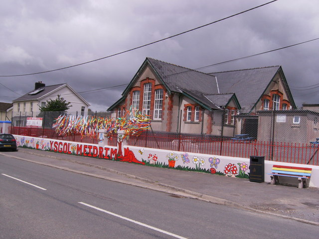
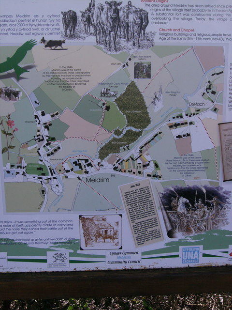
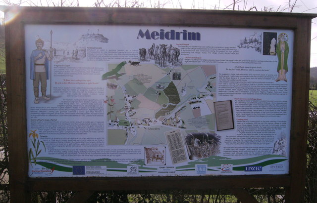
Meidrim

Meidrim is a village and community some 8 miles (13 km) west of Carmarthen and 3.3 miles (5.3 km) north of St Clears in Carmarthenshire, Wales. Meidrim...

Abernant, Carmarthenshire

Abernant is a hamlet and community in Carmarthenshire, Wales. The population taken at the 2011 census was 297. == Location == Abernant is a small hamlet...

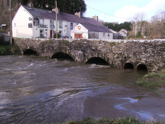
Talog, Carmarthenshire

Talog is a small rural village in Carmarthenshire, Wales, located on the River Cywyn, about seven miles north-west of the town of Carmarthen. It is in...

Have you been to Castell Bron-niwl?

Leave your review of Castell Bron-niwl below (or comments, questions and feedback).