Carslogie House

Heritage Site in Fife

Scotland

Carslogie House

Location of Cut Mark: Cupar, former Church <span class="nowrap"><a title="https://www.bench-marks.org.uk/bm69496" rel="nofollow ugc noopener" href="https://www.bench-marks.org.uk/bm69496">Link</a><img style="margin-left:2px;" alt="External link" title="External link - shift click to open in new window" src="https://s1.geograph.org.uk/img/external.png" width="10" height="10"/></span>
Location of Cut Mark: Cupar, former Church Credit: thejackrustles

Carslogie House is a historic mansion located in Fife, Scotland. Situated near the town of Cupar, the house is set within a picturesque landscape and is recognized as a heritage site due to its architectural significance and historical importance.

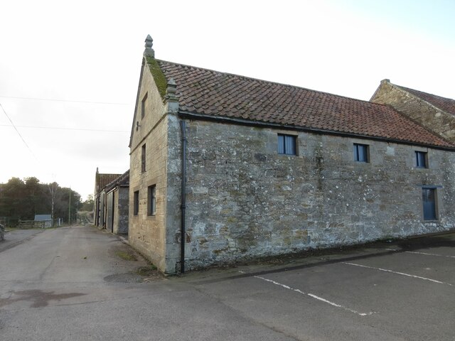
Originally built in the early 19th century, Carslogie House is a prime example of the Georgian architectural style. The mansion features a symmetrical façade with large sash windows, a prominent entrance portico, and a grand central staircase. The building is constructed of local sandstone, adding to its charm and authenticity.

Throughout its history, Carslogie House has been associated with several notable families and figures. It was originally built for the Balfour family, who were prominent landowners in the region. Over the years, the property changed hands and was owned by various families, including the Cochranes and the Dunsinanes.

The house has witnessed significant events and hosted numerous important guests. During World War II, it served as a convalescent home for wounded soldiers. Additionally, the property has been visited by notable individuals such as Sir Walter Scott and Queen Victoria.

Today, Carslogie House stands as a well-preserved heritage site, showcasing the grandeur and elegance of Georgian architecture. Although it is not open to the public, the building's exterior can be admired from its surrounding grounds, which are beautifully landscaped and maintained. Its historical significance and architectural beauty make Carslogie House an important cultural landmark in Fife.

If you have any feedback on the listing, please let us know in the comments section below.

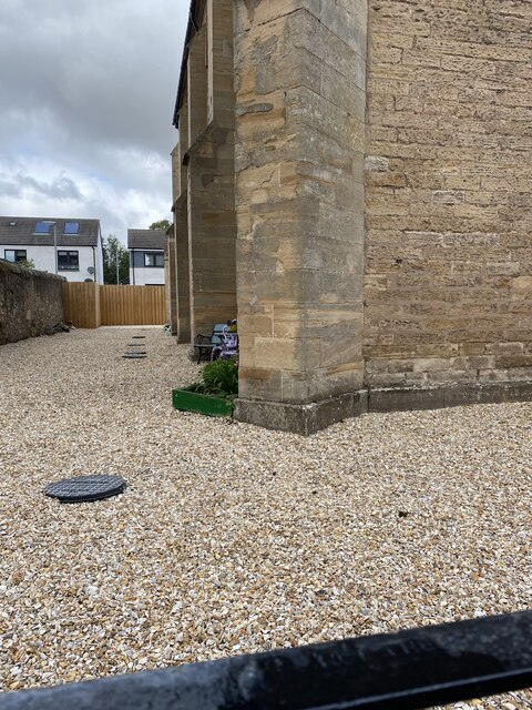
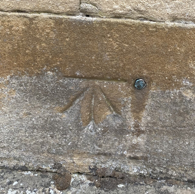
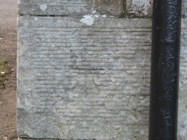
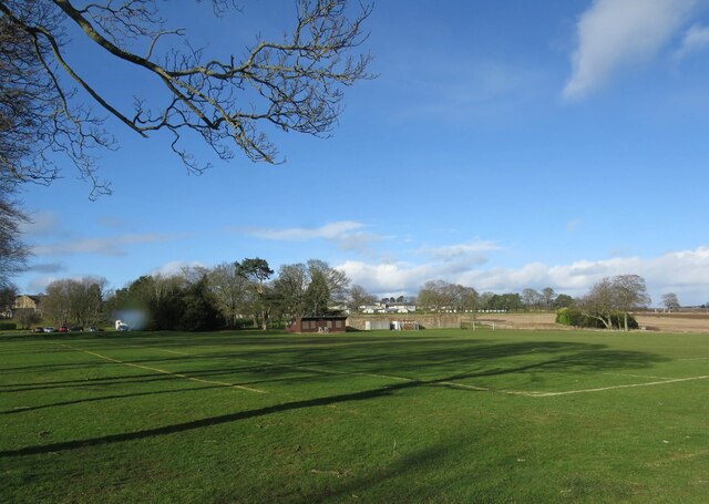
Carslogie House Images

Images are sourced within 2km of 56.318/-3.043 or Grid Reference NO3514. Thanks to Geograph Open Source API. All images are credited.

Location of Cut Mark: Cupar, former Church <span class="nowrap"><a title="https://www.bench-marks.org.uk/bm69496" rel="nofollow ugc noopener" href="https://www.bench-marks.org.uk/bm69496">Link</a><img style="margin-left:2px;" alt="External link" title="External link - shift click to open in new window" src="https://s1.geograph.org.uk/img/external.png" width="10" height="10"/></span>
Location of Cut Mark: Cupar, former Church
Former Church Junction North Union Street Cupar <span class="nowrap"><a title="http://www.scottishchurches.org.uk/sites/site/id/8408/name/St.+Michael%27s+Chapel+of+Ease+Cupar+Fife" rel="nofollow ugc noopener" href="http://www.scottishchurches.org.uk/sites/site/id/8408/name/St.+Michael%27s+Chapel+of+Ease+Cupar+Fife">Link</a><img style="margin-left:2px;" alt="External link" title="External link - shift click to open in new window" src="https://s1.geograph.org.uk/img/external.png" width="10" height="10"/></span>
Former Church Junction North Union Street Cupar
OS Cut Mark: Cupar, former church <span class="nowrap"><a title="https://www.bench-marks.org.uk/bm69496" rel="nofollow ugc noopener" href="https://www.bench-marks.org.uk/bm69496">Link</a><img style="margin-left:2px;" alt="External link" title="External link - shift click to open in new window" src="https://s1.geograph.org.uk/img/external.png" width="10" height="10"/></span>
OS Cut Mark: Cupar, former church
St Johns Church, Cupar
OS Cut Mark - Cupar Baptist Church <span class="nowrap"><a title="https://www.bench-marks.org.uk/bm94702" rel="nofollow ugc noopener" href="https://www.bench-marks.org.uk/bm94702">Link</a><img style="margin-left:2px;" alt="External link" title="External link - shift click to open in new window" src="https://s1.geograph.org.uk/img/external.png" width="10" height="10"/></span>
OS Cut Mark - Cupar Baptist Church
Close up of OS Cut Mark - Cupar Baptist Church <span class="nowrap"><a title="https://www.bench-marks.org.uk/bm94702" rel="nofollow ugc noopener" href="https://www.bench-marks.org.uk/bm94702">Link</a><img style="margin-left:2px;" alt="External link" title="External link - shift click to open in new window" src="https://s1.geograph.org.uk/img/external.png" width="10" height="10"/></span>
Close up of OS Cut Mark - Cupar Baptist Church
OS Cut Mark - Cupar, Corn Exchange <span class="nowrap"><a title="https://www.bench-marks.org.uk/bm138172" rel="nofollow ugc noopener" href="https://www.bench-marks.org.uk/bm138172">Link</a><img style="margin-left:2px;" alt="External link" title="External link - shift click to open in new window" src="https://s1.geograph.org.uk/img/external.png" width="10" height="10"/></span>
OS Cut Mark - Cupar, Corn Exchange
Fields at Cupar Muir
Road into Cupar Muir from south-west
River Eden south of Cupar Muir
Benchmark on farm building, Elmwood College Farm, Cupar Muir Ordnance Survey benchmark described on database at <span class="nowrap"><a title="https://www.bench-marks.org.uk/bm190855" rel="nofollow ugc noopener" href="https://www.bench-marks.org.uk/bm190855">Link</a><img style="margin-left:2px;" alt="External link" title="External link - shift click to open in new window" src="https://s1.geograph.org.uk/img/external.png" width="10" height="10"/></span>. For context photo, see <a href="https://www.geograph.org.uk/photo/7462693">NO3512 : Elmwood College Farm, Cupar Muir</a>.
Benchmark on farm building, Elmwood College Farm, Cupar Muir
Ordnance Survey benchmark described on database at LinkExternal link. For context photo, see NO3512 : Elmwood College Farm, Cupar Muir.
Railway bridge, Cupar Muir
Recreational ground, Stratheden Hospital
Benchmark on gatepost, Cupar Muir Ordnance Survey benchmark on gatepost in Cupar Muir. For database entry, see <span class="nowrap"><a title="https://www.bench-marks.org.uk/bm163962" rel="nofollow ugc noopener" href="https://www.bench-marks.org.uk/bm163962">Link</a><img style="margin-left:2px;" alt="External link" title="External link - shift click to open in new window" src="https://s1.geograph.org.uk/img/external.png" width="10" height="10"/></span>. See also <a href="https://www.geograph.org.uk/photo/7462696">NO3613 : Gatepost, Cupar Muir</a>.
Benchmark on gatepost, Cupar Muir
Ordnance Survey benchmark on gatepost in Cupar Muir. For database entry, see LinkExternal link. See also NO3613 : Gatepost, Cupar Muir.
Elmwood College Farm, Cupar Muir There is an Ordnance Survey benchmark on this building. See <a href="https://www.geograph.org.uk/photo/7462684">NO3512 : Benchmark on farm building, Elmwood College Farm, Cupar Muir</a> for close up photo.
Elmwood College Farm, Cupar Muir
There is an Ordnance Survey benchmark on this building. See NO3512 : Benchmark on farm building, Elmwood College Farm, Cupar Muir for close up photo.
Gatepost, Cupar Muir There is an Ordnance Survey benchmark visible on this photo at the bottom of the left hand gatepost. For database entry, see <span class="nowrap"><a title="https://www.bench-marks.org.uk/bm163962" rel="nofollow ugc noopener" href="https://www.bench-marks.org.uk/bm163962">Link</a><img style="margin-left:2px;" alt="External link" title="External link - shift click to open in new window" src="https://s1.geograph.org.uk/img/external.png" width="10" height="10"/></span>. For closer view, see <a href="https://www.geograph.org.uk/photo/7462691">NO3613 : Benchmark on gatepost, Cupar Muir</a>.
Gatepost, Cupar Muir
There is an Ordnance Survey benchmark visible on this photo at the bottom of the left hand gatepost. For database entry, see LinkExternal link. For closer view, see NO3613 : Benchmark on gatepost, Cupar Muir.
Crossgate, Cupar A wide shopping street.
Crossgate, Cupar
A wide shopping street.
Wheat field
Wheat field
Show me another place!

Carslogie House is located at Grid Ref: NO3514 (Lat: 56.318, Lng: -3.043)

What 3 Words

///supple.responds.roost. Near Cupar, Fife

Nearby Locations

Carslogie House

Related Wikis

Bell Baxter High School

Bell Baxter High School is a non-denominational comprehensive school for 11 to 18 year olds in Cupar, Fife, Scotland. Founded in 1889, it educates over...

Balgarvie Castle

Balgarvie Castle was located at Balgarvie, near Cupar in Fife, Scotland. The castle was sacked by an English army led by Sir John Pettsworth during the...

Cupar Muir

Cupar Muir or Cuparmuir is a hamlet or small village situated just outside the town of Cupar, Fife. Lying around 25.5 miles (41 km) north of Edinburgh...

Stratheden Hospital

Stratheden Hospital is currently a small community hospital in Stratheden, Cupar, Fife which was originally called Fife and Kinross District Asylum. Its...

Nearby Amenities

Located within 500m of 56.318,-3.043
Power: pole
Lat/Long: 56.3151676/-3.0372447
Power: pole
Lat/Long: 56.3158569/-3.0378022
Power: pole
Lat/Long: 56.3164608/-3.0383105
Power: pole
Lat/Long: 56.3171828/-3.0389041
Power: pole
Lat/Long: 56.3139963/-3.0393763
Power: pole
Lat/Long: 56.3138417/-3.0409636
Power: pole
Lat/Long: 56.3174312/-3.0392235
Power: pole
Lat/Long: 56.3165449/-3.0401254
Power: pole
Lat/Long: 56.3156902/-3.0394882
Power: pole
Lat/Long: 56.3148942/-3.038898
Power: pole
Lat/Long: 56.3189057/-3.0402705
Power: pole
Lat/Long: 56.3190758/-3.0404974
Power: pole
Lat/Long: 56.3197029/-3.0410034
Power: pole
Lat/Long: 56.3202933/-3.041483
Power: pole
Lat/Long: 56.3208862/-3.0419582
Power: pole
Lat/Long: 56.3181848/-3.0397586
Power: pole
Lat/Long: 56.3181507/-3.0377918
Power: pole
Lat/Long: 56.3191543/-3.0366565
Power: pole
Lat/Long: 56.3198242/-3.0360075
Power: pole
Lat/Long: 56.3221415/-3.0430334
Power: pole
Lat/Long: 56.3143334/-3.0390856
Power: pole
Lat/Long: 56.3145521/-3.0418216
Power: pole
Lat/Long: 56.3147042/-3.0431803
Power: pole
Lat/Long: 56.3148631/-3.0445884
Power: pole
Lat/Long: 56.3150084/-3.0459132
Power: pole
Lat/Long: 56.3143874/-3.0404267
Power: pole
Lat/Long: 56.3151486/-3.0471936
Power: pole
Lat/Long: 56.31531/-3.0484471
Power: pole
Lat/Long: 56.320946/-3.0490443
Power: pole
Lat/Long: 56.3210515/-3.0479374
Power: pole
Lat/Long: 56.3211728/-3.0467956
Power: pole
Lat/Long: 56.3212856/-3.0457303
Power: pole
Lat/Long: 56.3213863/-3.0446453
Power: pole
Lat/Long: 56.321487/-3.0435931
Power: pole
Lat/Long: 56.3215658/-3.0426853
Power: pole
Lat/Long: 56.3216253/-3.0418956
Power: pole
Lat/Long: 56.3216799/-3.0411475
Power: pole
Lat/Long: 56.3217417/-3.0404213
The data included in this document is from www.openstreetmap.org. The data is made available under ODbL.

Have you been to Carslogie House?

Leave your review of Carslogie House below (or comments, questions and feedback).