Carn Owen

Heritage Site in Cardiganshire

Wales

Carn Owen

Llyn Nantycagal
Llyn Nantycagal Credit: Alan Hughes

Carn Owen, located in Cardiganshire, Wales, is a significant heritage site that holds historical and cultural importance. This prominent hilltop fortification is situated near the village of Llandysul and is believed to date back to the Iron Age, making it over 2,000 years old.

The site consists of a series of earthworks and ditches that once served as defensive structures. As visitors explore the area, they can see the remains of the hillfort's ramparts, which enclose an area of approximately 10 acres. These ramparts were constructed using the natural topography of the hill, enhancing the fort's defensive capabilities.

Carn Owen played a crucial role in the region's ancient history, acting as a strategic stronghold for the local population. The hillfort's location provided an advantageous vantage point, allowing its inhabitants to monitor and control the surrounding landscape.

Archaeological excavations at the site have revealed fascinating artifacts, including pottery fragments and tools, shedding light on the daily lives and activities of the people who once occupied the hillfort. The discoveries suggest that Carn Owen was a thriving community during the Iron Age.

Today, Carn Owen is a popular destination for history enthusiasts and those interested in ancient civilizations. The site offers breathtaking views of the surrounding countryside, providing visitors with a unique opportunity to immerse themselves in the rich history and heritage of Cardiganshire.

If you have any feedback on the listing, please let us know in the comments section below.
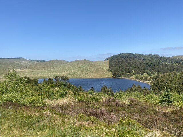
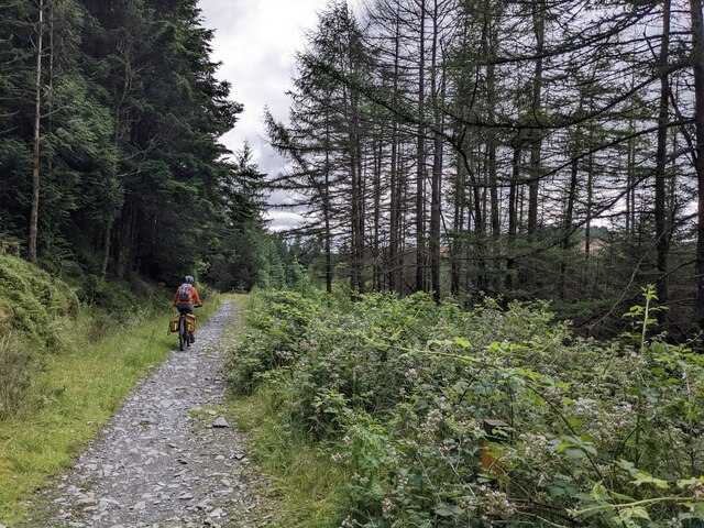
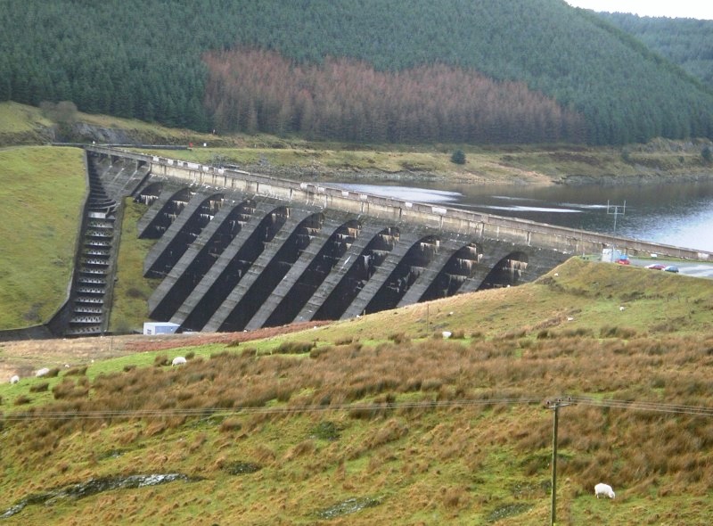
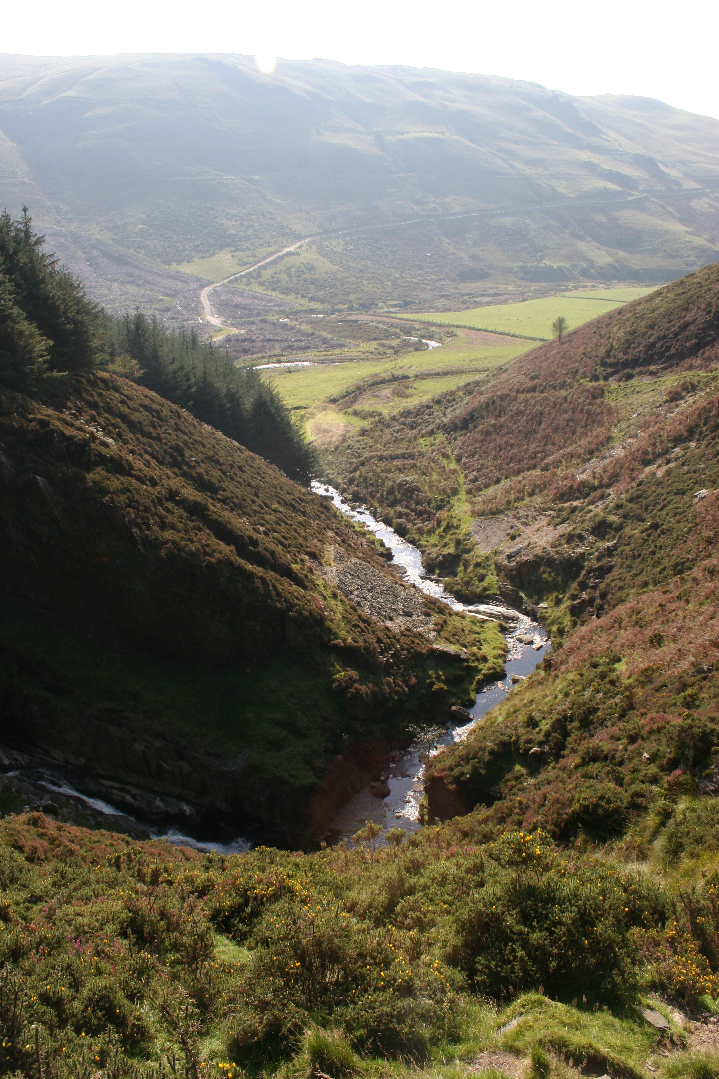
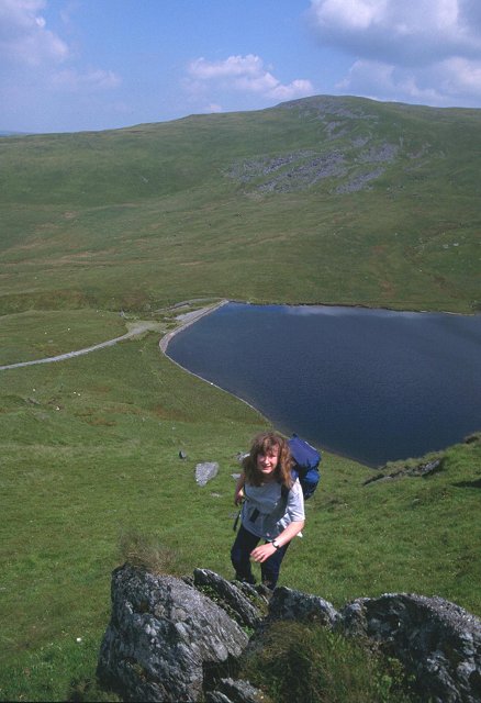
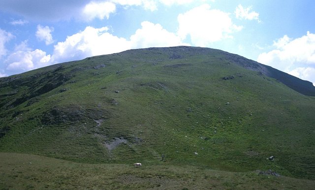
Carn Owen Images

Images are sourced within 2km of 52.48/-3.863 or Grid Reference SN7388. Thanks to Geograph Open Source API. All images are credited.

Llyn Nantycagal
Llyn Nantycagal
Single-track on the Restricted Byway through the forest
Road through forestry
Forestry clear-fell on Castell Bach Looking across the Nant Rhuddlan to the hill.
Forestry clear-fell on Castell Bach
Looking across the Nant Rhuddlan to the hill.
Llyn Nantycagl from the south west An attractive pool which originated as a reservoir for the mines.
Llyn Nantycagl from the south west
An attractive pool which originated as a reservoir for the mines.
Bay at the south west corner of Nant-y-moch Reservoir At the end of a fairly stormy day, wind still blasts over the water.
Bay at the south west corner of Nant-y-moch Reservoir
At the end of a fairly stormy day, wind still blasts over the water.
Farm near Nant Rhuddlan
Nant y Moch Reservoir The northernmost waters of Nant y Moch.
Nant y Moch Reservoir
The northernmost waters of Nant y Moch.
Nant y Moch in drought conditions
Dried up reservoir bed Nant y Moch Reservoir.
Dried up reservoir bed
Nant y Moch Reservoir.
Nant y Moch Reservoir
Finding a way through the puddle
Not much water in Nant-y-Moch reservoir This part of the reservoir is shown as 'water' on the OS map.
Not much water in Nant-y-Moch reservoir
This part of the reservoir is shown as 'water' on the OS map.
Sheds near Nant Rhuddlan
Dried mud where the water should be
A sorry sight The reservoir isn't completely empty, but this arm is.
A sorry sight
The reservoir isn't completely empty, but this arm is.
Crossing the Nant Rhuddlan
The bridleway through the forest The forest is substantial but does not appear to be named on the OS map.
The bridleway through the forest
The forest is substantial but does not appear to be named on the OS map.
Show me another place!

Carn Owen is located at Grid Ref: SN7388 (Lat: 52.48, Lng: -3.863)

Unitary Authority: Ceredigion

Police Authority: Dyfed Powys

What 3 Words

///describe.speedily.golf. Near Bow Street, Ceredigion

Nearby Locations

Cerrig yr Hafan Carn Owen

Related Wikis

Nearby Amenities

Located within 500m of 52.48,-3.863
Barrier: cattle_grid
Lat/Long: 52.4815448/-3.8622499
The data included in this document is from www.openstreetmap.org. The data is made available under ODbL.

Have you been to Carn Owen?

Leave your review of Carn Owen below (or comments, questions and feedback).