Carn Lwyd

Heritage Site in Cardiganshire

Wales

Carn Lwyd

Road to Nant y Moch reservoir
Road to Nant y Moch reservoir Credit: Alan Hughes

Carn Lwyd is a prominent heritage site located in Cardiganshire, Wales. Situated on a hilltop, it is known for its historical and cultural significance, attracting visitors from all over. The site offers breathtaking views of the surrounding landscape, making it a popular destination for nature enthusiasts and history buffs alike.

The main feature of Carn Lwyd is its ancient burial mound, which dates back to the Bronze Age. The mound is approximately 20 meters in diameter and stands at an impressive height of 5 meters. It is believed to have been used as a communal burial site, possibly for a local tribal community.

Archaeological excavations have revealed numerous artifacts, including pottery, tools, and human remains, providing valuable insights into the lives and customs of the people who inhabited the area thousands of years ago. These findings have contributed to our understanding of the Bronze Age culture in Cardiganshire.

In addition to its archaeological significance, Carn Lwyd also holds cultural importance for the local community. It is often the site of traditional ceremonies and gatherings, serving as a link to the area's rich historical heritage. The hilltop location offers a serene and peaceful atmosphere, making it an ideal place for reflection and contemplation.

Visitors to Carn Lwyd can explore the site on foot, enjoying the scenic trails that surround the mound. Interpretive signs provide information about the history and significance of the site, enhancing the visitor experience. Overall, Carn Lwyd is a captivating heritage site that offers a fascinating glimpse into the ancient past of Cardiganshire.

If you have any feedback on the listing, please let us know in the comments section below.
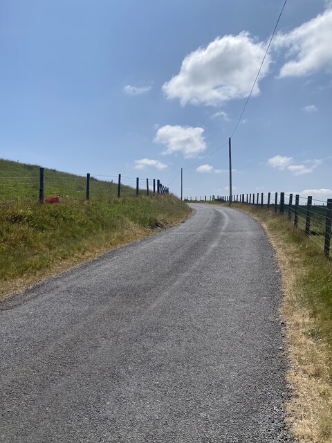
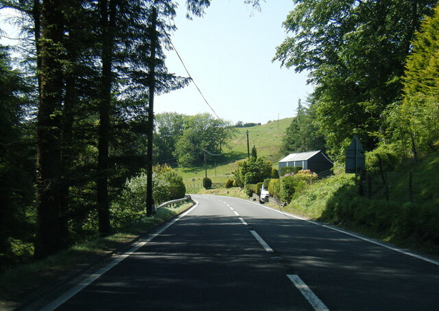
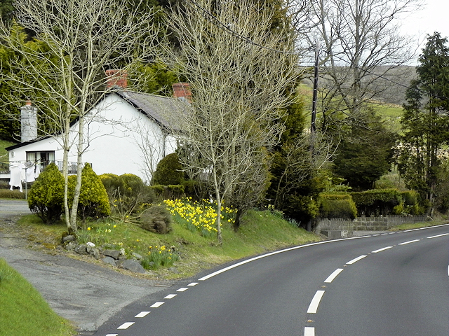
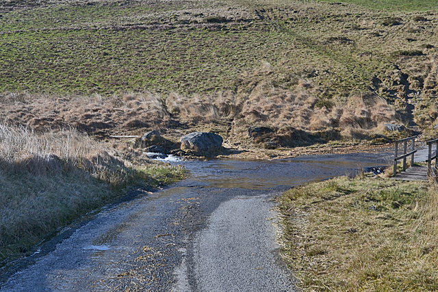
Carn Lwyd Images

Images are sourced within 2km of 52.435/-3.832 or Grid Reference SN7583. Thanks to Geograph Open Source API. All images are credited.

Road to Nant y Moch reservoir
Across the hillside towards Nant y Moch
Dinas Reservoir
Dinas Reservoir
A44 approaching Ponterwyd
Much water in the Hirnant
A44, Glennydd
A44, Glennydd
Grazing by the Hirnant Improved grazing being enjoyed by a number of sheep. In the background, Disgwylfa Fawr rises up, with the vegetation showing an autumn feel.
Grazing by the Hirnant
Improved grazing being enjoyed by a number of sheep. In the background, Disgwylfa Fawr rises up, with the vegetation showing an autumn feel.
Dinas Reservoir, from the east Part of the Rheidol hydroelectric complex, and much favoured by anglers.
Dinas Reservoir, from the east
Part of the Rheidol hydroelectric complex, and much favoured by anglers.
Moorland above Dinas Reservoir Improved grazing in the middle distance, rougher stuff beyond rising up to Disgwylfa Fawr. Greens are fairly muted after a cold, mainly dry winter spell.
Moorland above Dinas Reservoir
Improved grazing in the middle distance, rougher stuff beyond rising up to Disgwylfa Fawr. Greens are fairly muted after a cold, mainly dry winter spell.
Mountain road passing Nantceiro farm A fine day with muted colours, in January.
Mountain road passing Nantceiro farm
A fine day with muted colours, in January.
Looking down on Aber-Peithnant farm The small farmhouse, close to the Afon Rheidol, is almost lost in the landscape. Disgwylfa Fawr rises up behind; the bridleway ascending across its slopes is an ancient route linking the Wye valley with the lower Rheidol valley.
Looking down on Aber-Peithnant farm
The small farmhouse, close to the Afon Rheidol, is almost lost in the landscape. Disgwylfa Fawr rises up behind; the bridleway ascending across its slopes is an ancient route linking the Wye valley with the lower Rheidol valley.
View towards Nant-y-moch dam Taken on a mild but very dull day in early Spring.
View towards Nant-y-moch dam
Taken on a mild but very dull day in early Spring.
The Rheidol valley below Dinas reservoir
Looking across the Rheidol valley
Tree at the foot of Dinas hill The building labelled Dinas on the O.S. 1:25000 map no longer seems to exist.
Tree at the foot of Dinas hill
The building labelled Dinas on the O.S. 1:25000 map no longer seems to exist.
Lane to Dinas power station The public road ends here; the lane onwards is private.
Lane to Dinas power station
The public road ends here; the lane onwards is private.
Ford on the Nant y Moch Sometimes deeper than it looks; the footbridge is useful.
Ford on the Nant y Moch
Sometimes deeper than it looks; the footbridge is useful.
Spring light on Y Garn Soft lighting with clouds and a trace of sun on the western slopes of the mountain.
Spring light on Y Garn
Soft lighting with clouds and a trace of sun on the western slopes of the mountain.
Show me another place!

Carn Lwyd is located at Grid Ref: SN7583 (Lat: 52.435, Lng: -3.832)

Unitary Authority: Ceredigion

Police Authority: Dyfed Powys

What 3 Words

///curry.detonated.illogical. Near Cwmystwyth, Ceredigion

Nearby Locations

Carn Lwyd

Related Wikis

Blaenrheidol

Blaenrheidol is a community in the county of Ceredigion, North Wales. It lies in the Cambrian Mountains of Mid Wales, approximately 12 miles (19 km) east...

Y Garn (Plynlimon)

Y Garn is a subsidiary summit of Pen Pumlumon Fawr and the fourth highest peak on the Plynlimon massif, a part of the Cambrian Mountains in the county...

Ponterwyd

Ponterwyd (Welsh pronunciation: [pɔntˈerʊi̯d]) is a village in Ceredigion, Wales. It lies in the Cambrian Mountains of Mid Wales, approximately 12 miles...
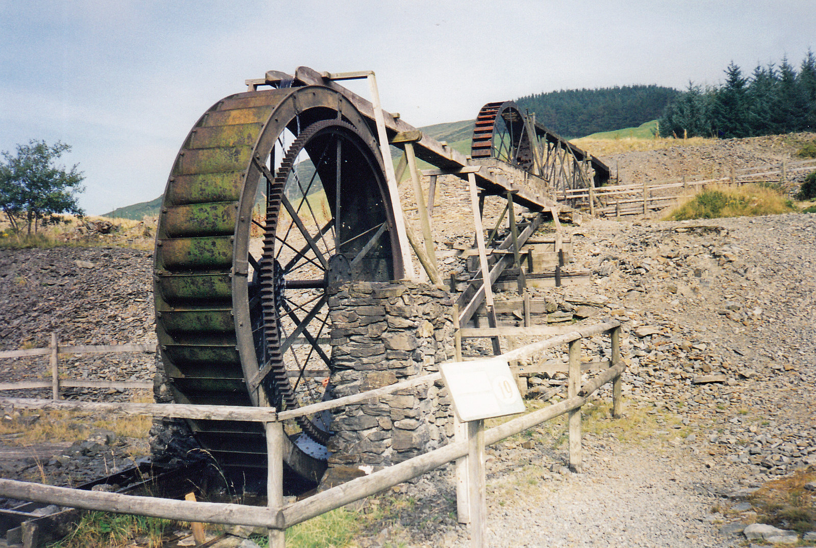
Llywernog Mine

Llywernog Mine is an 18th-century silver-lead mine in Llywernog, Ceredigion, Wales, currently run as an industrial heritage museum and tourist attraction...

Nearby Amenities

Located within 500m of 52.435,-3.832
Place: farm
Lat/Long: 52.4374124/-3.8350829
Barrier: cattle_grid
Lat/Long: 52.4365698/-3.8343318
Barrier: cattle_grid
Lat/Long: 52.4374371/-3.8347212
Stone Circle and Round Cairns, Hirnant
Archaeological Site: megalith
Historic: archaeological_site
Historic Civilization: prehistoric
Material: stone
Megalith Type: stone_circle
Lat/Long: 52.4389854/-3.8352591
The data included in this document is from www.openstreetmap.org. The data is made available under ODbL.

Have you been to Carn Lwyd?

Leave your review of Carn Lwyd below (or comments, questions and feedback).