Carlin Stone
Heritage Site in Banffshire
Scotland
Carlin Stone

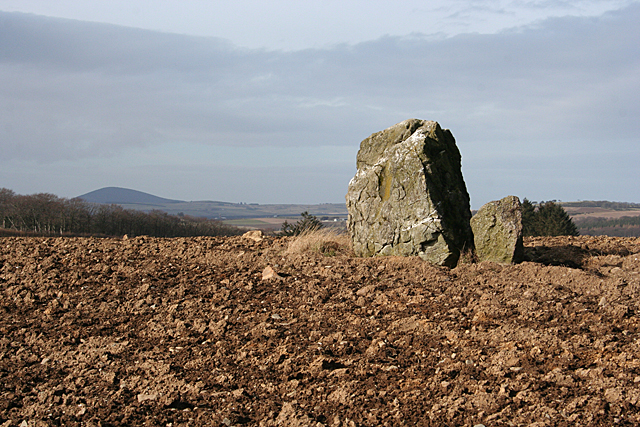
Carlin Stone is a historic site located in Banffshire, Scotland. It is a standing stone with a rich history dating back to ancient times. The stone stands at approximately 10 feet tall and is believed to have been erected during the Bronze Age, around 2000-1500 BC.
The Carlin Stone is thought to have been used for ceremonial or religious purposes by the ancient inhabitants of the area. It is also believed to have been a marker for ancient land divisions or boundaries.
The stone gets its name from the Scottish word "carlin," which means an old woman or witch, and it is said to have been associated with various superstitions and legends over the centuries.
Today, the Carlin Stone is a protected heritage site and is of significant archaeological importance. It is a popular destination for visitors interested in Scotland's ancient history and is a reminder of the region's rich cultural heritage. The stone's imposing presence and mysterious origins continue to intrigue and captivate those who visit it.
If you have any feedback on the listing, please let us know in the comments section below.
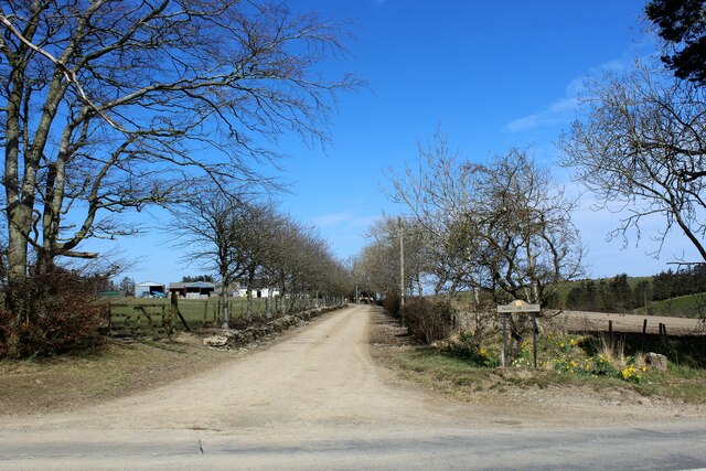
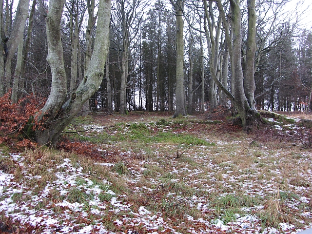
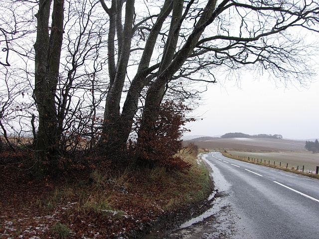
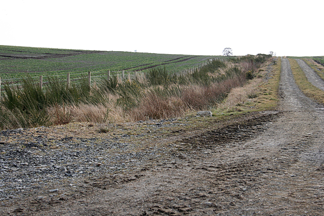
Carlin Stone Images
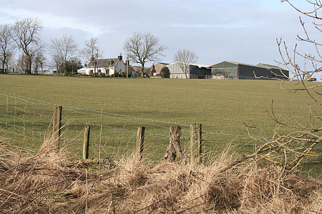
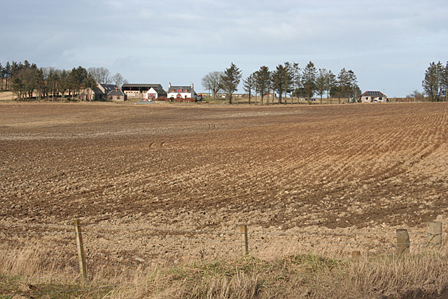
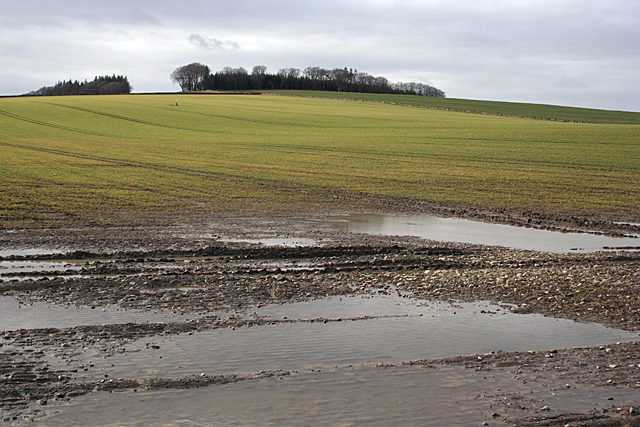
Images are sourced within 2km of 57.5083/-2.5451 or Grid Reference NJ6746. Thanks to Geograph Open Source API. All images are credited.


Carlin Stone is located at Grid Ref: NJ6746 (Lat: 57.5083, Lng: -2.5451)
What 3 Words
///additives.breeze.rings. Near Turriff, Aberdeenshire
Nearby Locations
Related Wikis

Dorlaithers Castle
Dorlaithers Castle was a castle about 2.5 miles (4.0 km) south-west of Turriff, Aberdeenshire, Scotland at Dorlaithers, south of the burn of Gask. It may...

Bogton
Bogton is a rural area in Aberdeenshire, Scotland. To the south is Whitehill Wood and megalithic circle. == References ==

Whitehill Wood, Aberdeenshire
Whitehill Wood is a wood and megalithic stone circle in Aberdeenshire, Scotland, located off the B9025 road between Aberchirder and Turriff and between...

Inverkeithny
Inverkeithny is a village in the Formartine area of Aberdeenshire, Scotland. The village lies near where the Burn of Forgue flows into the River Deveron...
Nearby Amenities
Located within 500m of 57.5083,-2.5451Have you been to Carlin Stone?
Leave your review of Carlin Stone below (or comments, questions and feedback).