Camus's Cross

Heritage Site in Angus

Scotland

Camus's Cross

Looking east from the side of the Monikie Reservoirs Looking down on the small hamlet of Craigton, it’s school and cherry trees in bloom. I wonder what the outline of the rectangular building in the foreground used to be?
Looking east from the side of the Monikie Reservoirs Credit: Andrew Shannon

Camus's Cross, Angus is a significant heritage site located in Angus, Scotland. This historical landmark is an ancient standing stone cross that stands approximately 3 meters tall. It is believed to have been erected during the early Christian period, possibly between the 7th and 9th centuries.

The cross is made of granite and features intricate carvings on its surface. These carvings depict various religious symbols and motifs, including Celtic patterns, interlacing designs, and animal figures. The level of detail in the carvings is impressive, showcasing the skill and craftsmanship of the early artisans.

Camus's Cross holds great historical and cultural significance for the region. It is considered a testament to the early Christian influence in this part of Scotland and serves as a reminder of the rich heritage of the area. The cross is also a symbol of religious devotion and is often visited by locals and tourists alike.

The site is well-maintained and accessible to the public. Visitors can explore the cross, marvel at its intricate carvings, and take in the serene surroundings. Interpretive panels provide information about the cross's history and the cultural context in which it was created.

Overall, Camus's Cross, Angus is a remarkable heritage site that offers a glimpse into Scotland's early Christian past. Its intricate carvings and historical significance make it a must-visit destination for history enthusiasts and those interested in exploring the region's cultural heritage.

If you have any feedback on the listing, please let us know in the comments section below.

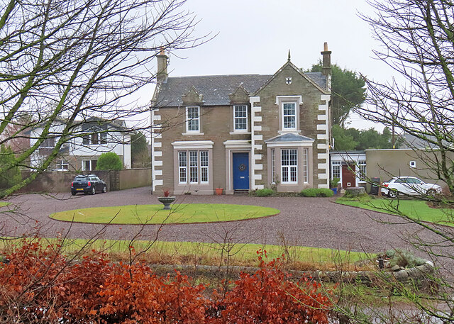
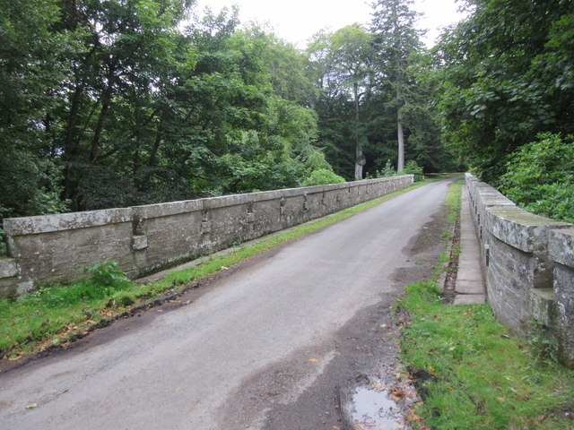
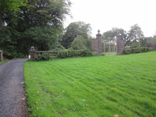
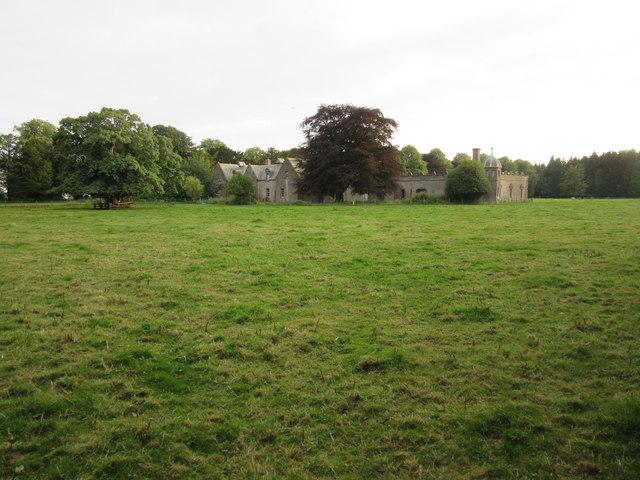
Camus's Cross Images

Images are sourced within 2km of 56.527/-2.772 or Grid Reference NO5237. Thanks to Geograph Open Source API. All images are credited.

Looking east from the side of the Monikie Reservoirs Looking down on the small hamlet of Craigton, it’s school and cherry trees in bloom. I wonder what the outline of the rectangular building in the foreground used to be?
Looking east from the side of the Monikie Reservoirs
Looking down on the small hamlet of Craigton, it’s school and cherry trees in bloom. I wonder what the outline of the rectangular building in the foreground used to be?
Monikie Reservoirs The wooded island is one of three in the southern part of the main Monikie reservoirs.
Monikie Reservoirs
The wooded island is one of three in the southern part of the main Monikie reservoirs.
Mirrored Island An almost monochrome view on a very dreich day.
Mirrored Island
An almost monochrome view on a very dreich day.
Corbelled Turret This is a modern house with a traditional feature, a square turret on corbels on a round turret.
Corbelled Turret
This is a modern house with a traditional feature, a square turret on corbels on a round turret.
Craigton Coach Inn That's what the maps name it as, but it's actually the former Craigton Coach Inn. It was originally the manse belonging to the United Free Church next door, which has since been demolished. It was a popular pub, but closed down in 2019, blaming 'greedy discount voucher firms' for its demise, though it may be that its location and the rules on drink-driving may have played their part.
Craigton Coach Inn
That's what the maps name it as, but it's actually the former Craigton Coach Inn. It was originally the manse belonging to the United Free Church next door, which has since been demolished. It was a popular pub, but closed down in 2019, blaming 'greedy discount voucher firms' for its demise, though it may be that its location and the rules on drink-driving may have played their part.
Monikie Reservoirs On the right is the North Settling Reservoir and to the left is the South Settling Reservoir, the two separated by a raised causeway. The Monikie reservoirs were built in the mid-19th century as part of the provision of clean water for the city of Dundee, but have been superseded by larger, more recent reservoirs.
Monikie Reservoirs
On the right is the North Settling Reservoir and to the left is the South Settling Reservoir, the two separated by a raised causeway. The Monikie reservoirs were built in the mid-19th century as part of the provision of clean water for the city of Dundee, but have been superseded by larger, more recent reservoirs.
Montague Bridge, Panmure Estate This 80ft high bridge over the Monikie Burn dates from 1854, and was designed by the architect, David Bryce.
Montague Bridge, Panmure Estate
This 80ft high bridge over the Monikie Burn dates from 1854, and was designed by the architect, David Bryce.
West Gate, Panmure Estate The Royal Commission on Ancient and Historical Monuments states that these gates date from the late seventeenth century and were possibly designed by Sir William Bruce for the 2nd earl of Panmure.  With the failure of the 1715 Jacobite Uprising, the 4th earl of Panmure supposedly ordered that these gates remain shut until a Stewart monarch returned to the throne.
West Gate, Panmure Estate
The Royal Commission on Ancient and Historical Monuments states that these gates date from the late seventeenth century and were possibly designed by Sir William Bruce for the 2nd earl of Panmure. With the failure of the 1715 Jacobite Uprising, the 4th earl of Panmure supposedly ordered that these gates remain shut until a Stewart monarch returned to the throne.
Former stables and service court, Panmure Estate This former stables and service court on the Panmure Estate were attached to the now demolished Panmure House (1955) and belong to the architectural portfolio of David Bryce (1852).
Former stables and service court, Panmure Estate
This former stables and service court on the Panmure Estate were attached to the now demolished Panmure House (1955) and belong to the architectural portfolio of David Bryce (1852).
Track to Guildy Smithy
Track to East Hillhead Later cutting through the trackbed of the old Dundee and Forfar Direct Railway.
Track to East Hillhead
Later cutting through the trackbed of the old Dundee and Forfar Direct Railway.
Bus shelter by Monikie Primary School In the village of Craigton.
Bus shelter by Monikie Primary School
In the village of Craigton.
Drive up to Brae of Downie With the Downie Hills beyond.
Drive up to Brae of Downie
With the Downie Hills beyond.
Stubble and straw bales Below Brae of Downie.
Stubble and straw bales
Below Brae of Downie.
The straight road to Carnoustie With Weet's Wood on the left.
The straight road to Carnoustie
With Weet's Wood on the left.
Track into Guildy Den Wood North east of Camustane Hill.
Track into Guildy Den Wood
North east of Camustane Hill.
Monikie Church Monikie Church is located in the hamlet of Kirkton of Monikie.
<span class="nowrap"><a title="http://www.scottishchurches.org.uk/sites/site/id/1409/name/Monikie+Parish+Church+Monikie+Tayside" rel="nofollow ugc noopener" href="http://www.scottishchurches.org.uk/sites/site/id/1409/name/Monikie+Parish+Church+Monikie+Tayside">Link</a><img style="margin-left:2px;" alt="External link" title="External link - shift click to open in new window" src="https://s1.geograph.org.uk/img/external.png" width="10" height="10"/></span>
Monikie Church
Monikie Church is located in the hamlet of Kirkton of Monikie. LinkExternal link
Chilly Monikie Reservoir
Show me another place!

Camus's Cross is located at Grid Ref: NO5237 (Lat: 56.527, Lng: -2.772)

Unitary Authority: Angus

Police Authority: Tayside

What 3 Words

///salutes.proof.choppers. Near Carnoustie, Angus

Related Wikis

Nearby Amenities

Located within 500m of 56.527,-2.772
The data included in this document is from www.openstreetmap.org. The data is made available under ODbL.

Have you been to Camus's Cross?

Leave your review of Camus's Cross below (or comments, questions and feedback).