Callendar House

Heritage Site in Stirlingshire

Scotland

Callendar House

Merers Lock Lock No.8 on the Forth and Clyde Canal. Merchiston Road crosses the canal east of the lock
Merers Lock Credit: Eirian Evans

Callendar House, located in Falkirk, Stirlingshire, is a renowned heritage site that holds a significant place in Scottish history. Originally built in the 14th century as a tower house, it has undergone various architectural transformations over the centuries, resulting in an impressive mansion that stands today.

The house is set within a picturesque parkland, making it a popular destination for both locals and tourists alike. It offers a unique glimpse into the past, showcasing different periods of Scottish history through its diverse architectural styles. The 19th-century French Renaissance-style frontage, with its grand entrance and intricate detailing, is particularly striking.

Inside, Callendar House houses a fascinating museum that displays a wide range of artifacts and exhibits. Visitors can explore the history of the house and its former occupants, including the prominent Hamilton family. The museum also covers various aspects of local history, such as the industrial heritage of Falkirk and its important role in the development of the canal system.

The house's grounds are also home to the Georgian Kitchen, a fully restored 1825 kitchen that offers an immersive experience into the culinary traditions of the time. Additionally, there is a tearoom where visitors can relax and enjoy refreshments.

Callendar House regularly hosts events, exhibitions, and educational programs, providing an engaging and interactive experience for visitors of all ages. With its rich history, stunning architecture, and diverse attractions, Callendar House truly offers a unique and captivating heritage experience in the heart of Stirlingshire.

If you have any feedback on the listing, please let us know in the comments section below.

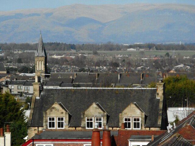
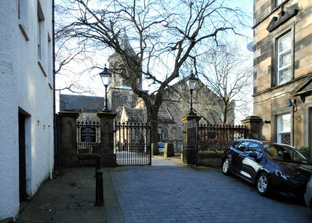
Callendar House Images

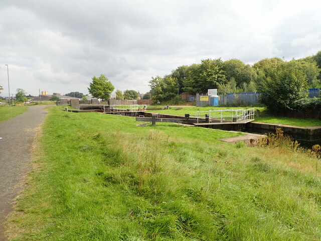
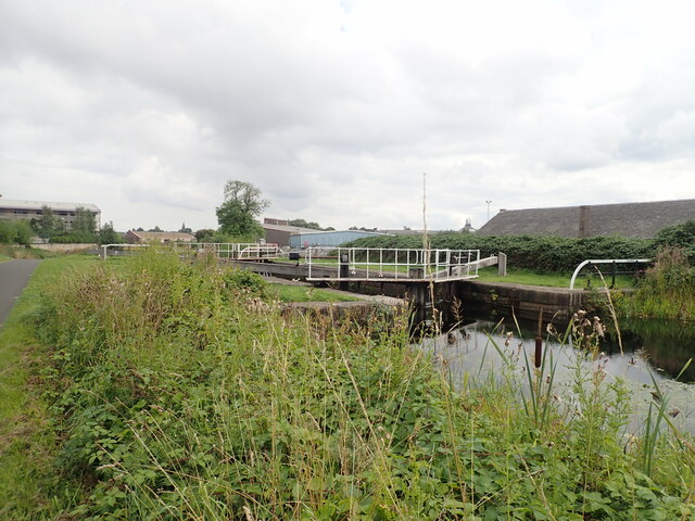
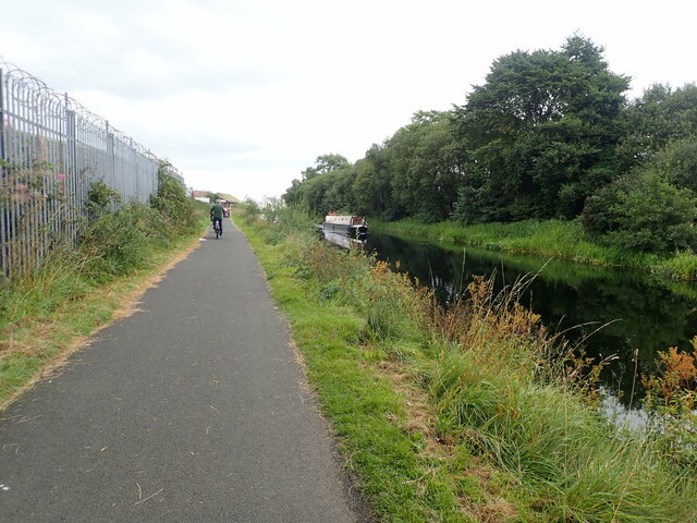
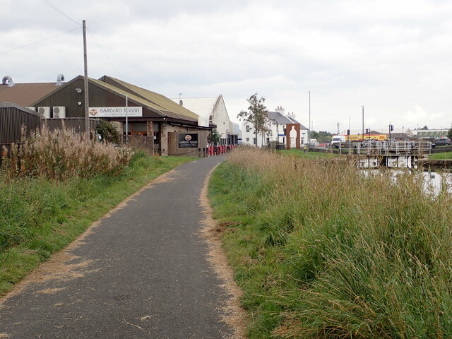
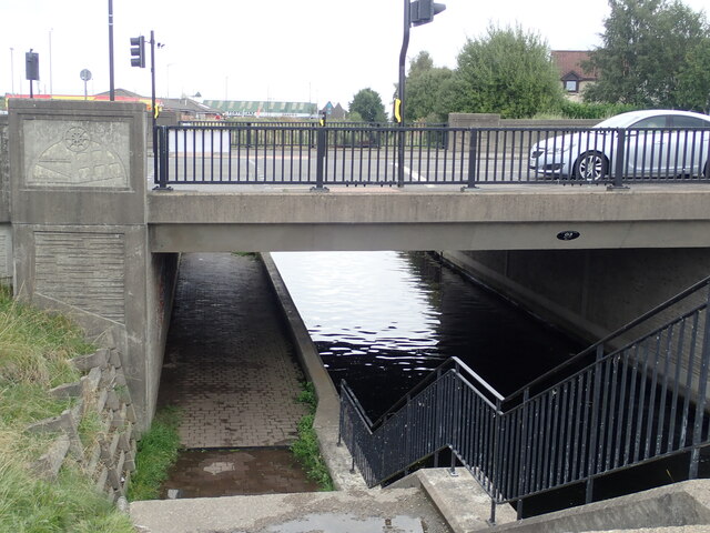
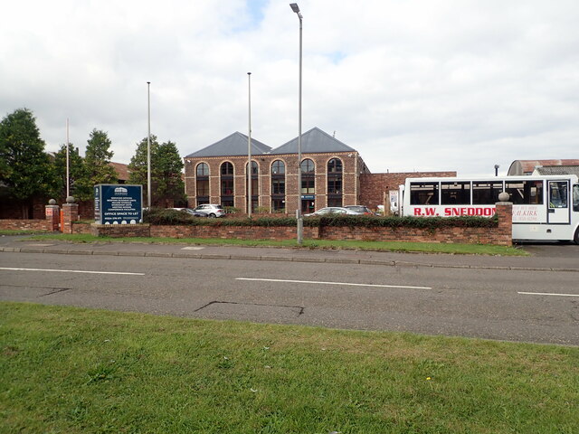
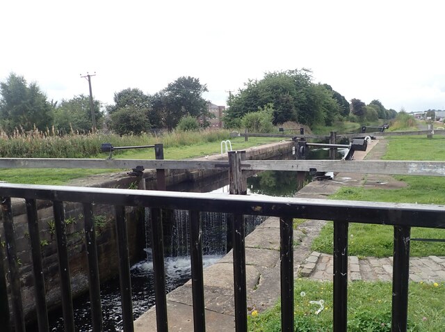
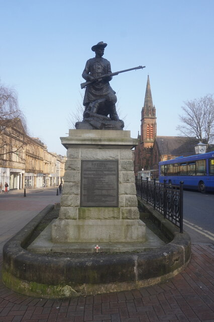
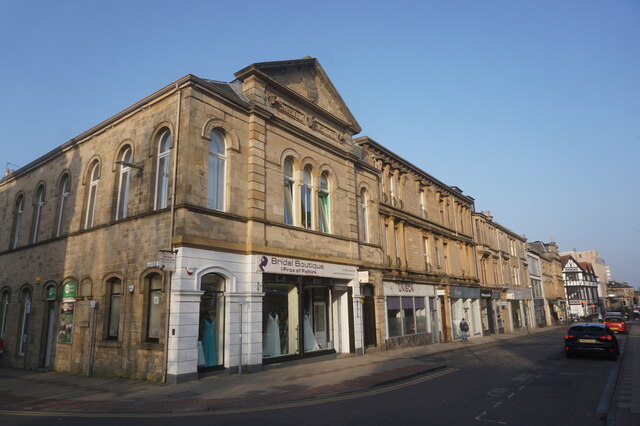
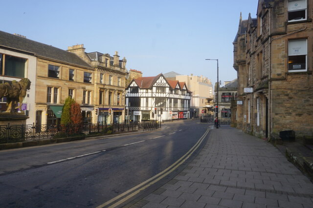
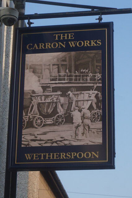
Images are sourced within 2km of 55.995/-3.772 or Grid Reference NS8979. Thanks to Geograph Open Source API. All images are credited.

Merers Lock Lock No.8 on the Forth and Clyde Canal. Merchiston Road crosses the canal east of the lock
Merers Lock
Lock No.8 on the Forth and Clyde Canal. Merchiston Road crosses the canal east of the lock
Merchiston Lock This is lock No.7 on the Forth and Clyde Canal
Merchiston Lock
This is lock No.7 on the Forth and Clyde Canal
Towpath beside the Forth and Clyde Canal The barbed wire topped fence on the left surrounds an industrial area.
Towpath beside the Forth and Clyde Canal
The barbed wire topped fence on the left surrounds an industrial area.
Forth and Clyde Canal towpath Near canal lock no.5, Bainsford Lock. The B905 crosses the canal on the east side of the lock.
Forth and Clyde Canal towpath
Near canal lock no.5, Bainsford Lock. The B905 crosses the canal on the east side of the lock.
Towpath underpassing Grahams Road bridge
Offices to let on Bankside
Abbotshaugh Lock Lock No.4 on the Forth and Clyde Canal
Abbotshaugh Lock
Lock No.4 on the Forth and Clyde Canal
Canal towpath near the Bankside Industrial Estate The canal is obscured by overgrown hedge
Canal towpath near the Bankside Industrial Estate
The canal is obscured by overgrown hedge
Boer War Memorial, Newmarket Street, Falkirk
Newmarket Street, Falkirk
Upper Newmarket Street, Falkirk
The Carron Works Public House A Wetherspoons pub on Bank Street, Falkirk.
The Carron Works Public House
A Wetherspoons pub on Bank Street, Falkirk.
The Carron Works Public House
Victoria Park
Victoria Park
Falkirk Telephone Exchange On Kerse Street. Looking down from Floor 7 of the Callendar Square car park.
Falkirk Telephone Exchange
On Kerse Street. Looking down from Floor 7 of the Callendar Square car park.
Christ Church, Falkirk A zoomed view from Floor 7 of the Callendar Square car park. The church is Category C listed <span class="nowrap"><a title="http://portal.historicenvironment.scot/designation/LB31215" rel="nofollow ugc noopener" href="http://portal.historicenvironment.scot/designation/LB31215">Link</a><img style="margin-left:2px;" alt="External link" title="External link - shift click to open in new window" src="https://s1.geograph.org.uk/img/external.png" width="10" height="10"/></span>. In the distance is the Grangemouth Refinery.
Christ Church, Falkirk
A zoomed view from Floor 7 of the Callendar Square car park. The church is Category C listed LinkExternal link. In the distance is the Grangemouth Refinery.
View from the car park A zoomed view from Floor 7 of the Callendar Square car park. What at first glance looks like a church with a steeple is in fact just a large house with dormer windows on Weir Street. The steeple belongs to Grahamston United Church on Bute Street, much further away.

In the far distance are the Ochil Hills.
View from the car park
A zoomed view from Floor 7 of the Callendar Square car park. What at first glance looks like a church with a steeple is in fact just a large house with dormer windows on Weir Street. The steeple belongs to Grahamston United Church on Bute Street, much further away. In the far distance are the Ochil Hills.
Falkirk Trinity Church of Scotland The Category A listed <span class="nowrap"><a title="http://portal.historicenvironment.scot/designation/LB31167" rel="nofollow ugc noopener" href="http://portal.historicenvironment.scot/designation/LB31167">Link</a><img style="margin-left:2px;" alt="External link" title="External link - shift click to open in new window" src="https://s1.geograph.org.uk/img/external.png" width="10" height="10"/></span> church, seen from Manse Place.
Falkirk Trinity Church of Scotland
The Category A listed LinkExternal link church, seen from Manse Place.
Show me another place!

Callendar House is located at Grid Ref: NS8979 (Lat: 55.995, Lng: -3.772)

Unitary Authority: Falkirk

Police Authority: Forth Valley

What 3 Words

///guard.tree.swing. Near Falkirk

Related Wikis

Callendar House

Callendar House is a mansion set within the grounds of Callendar Park in Falkirk, central Scotland. During the 19th century, it was redesigned and extended...

Graeme High School

Graeme High School is a non-denominational public secondary school located in Falkirk, Scotland. The school is operated by Falkirk Council on behalf of...

Falkirk bus station

Falkirk bus station is a disused bus station situated in Falkirk, Scotland. It is privately owned. == History == The station was built in the 1930s for...

Falkirk Steeple

The Falkirk Steeple is a landmark which dominates the skyline of Falkirk in central Scotland. The present structure on the High Street was built in 1814...

Falkirk

Falkirk ( Scottish Gaelic: An Eaglais Bhreac, Scots: Fawkirk [ˈfɔːkɪrk]) is a town in the Central Lowlands of Scotland, historically within the county...

St Andrew's West

St. Andrew's West Parish Church is the largest church in Falkirk, Scotland, founded in 1843 and situated in the town centre on Upper Newmarket Street and...

Falkirk Old Parish Church

Falkirk Old & St. Modan's Parish Church, also known as "Falkirk Trinity Church", is a congregation of the Church of Scotland in Falkirk, central Scotland...

Woodlands, Falkirk

Woodlands is a large, prosperous central area (ward) of Falkirk, Stirlingshire, Scotland, which is mainly residential. Much of the ward is taken up by...

Nearby Amenities

Located within 500m of 55.995,-3.772
Turning Circle
Lat/Long: 55.9982061/-3.7689065
Turning Circle
Lat/Long: 55.9984417/-3.7713106
Turning Circle
Lat/Long: 55.9979296/-3.7712239
Turning Circle
Lat/Long: 55.9977649/-3.7693974
Mini Roundabout
Direction: clockwise
Lat/Long: 55.9974562/-3.7681284
Mini Roundabout
Direction: clockwise
Lat/Long: 55.9970897/-3.7650385
Bicycle Rental
Capacity: 6
Capacity Disabled: 2
Capacity Parent: no
Capacity Women: no
Fee: no
Park Ride: no
Parking: surface
Lat/Long: 55.9946009/-3.7727673
First battle of Falkirk July 22nd AD1298
Historic: monument
Lat/Long: 55.9952104/-3.7745207
Bench
Seats: 4
Lat/Long: 55.9942969/-3.7677135
Bench
Seats: 4
Lat/Long: 55.9943502/-3.7680529
Shelter
Lat/Long: 55.9950856/-3.7703138
Tourism: picnic_site
Lat/Long: 55.9927444/-3.7651558
Waste Basket
Source: survey
Lat/Long: 55.9940485/-3.7776838
Waste Basket
Source: survey
Lat/Long: 55.9943249/-3.7656583
Waste Basket
Source: survey
Lat/Long: 55.9946844/-3.7737747
Bench
Backrest: no
Material: wood
Seats: 4
Lat/Long: 55.9920436/-3.7748977
Bench
Backrest: no
Material: wood
Seats: 4
Lat/Long: 55.992702/-3.7697425
Roman bath house
Historic: archaeological_site
Lat/Long: 55.9958764/-3.7782493
Waste Basket
Lat/Long: 55.9960306/-3.7753016
Recycling
Recycling Cans: yes
Recycling Glass: yes
Recycling Textiles: yes
Recycling Type: container
Lat/Long: 55.9959719/-3.7752887
Callendar Park
Place: suburb
Lat/Long: 55.9956208/-3.7753572
Bench
Backrest: yes
Lat/Long: 55.9968718/-3.776773
Bench
Backrest: yes
Lat/Long: 55.9968729/-3.7767585
Bench
Backrest: yes
Lat/Long: 55.9967762/-3.7759064
Bench
Backrest: yes
Lat/Long: 55.9967751/-3.775855
Telephone
Booth: K6
Covered: booth
Fee: yes
Indoor: no
Operator: British Telecom
Payment Coins: yes
Phone: +44 1324 611654
Lat/Long: 55.9962541/-3.7718895
Waste Basket
Lat/Long: 55.9962567/-3.7718683
Post Box
Collection Times: Mo-Fr 09:00; Sa 07:00
Drive Through: no
Operator: Royal Mail
Post Box Type: pillar
Ref: FK1 228D
Royal Cypher: scottish_crown
Lat/Long: 55.9962514/-3.7718518
Tower Shop
Addr City: Falkirk
Addr Housenumber: 2
Addr Place: Seaton Place
Addr Postcode: FK1 1TJ
Addr Street: Paterson Tower
Fhrs Id: 549289
Opening Hours: Mo-Sa 06:30-18:00; Sa 06:30-16:00
Shop: convenience
Source Addr: fhrs opendata
Lat/Long: 55.9963042/-3.7718553
LMG Hair Ladies & Gents Salon
Addr City: Falkirk
Addr Housenumber: 1
Addr Place: Seaton Place
Addr Street: Paterson Tower
Contact Phone: +44 1324 624671
Shop: hairdresser
Source: survey
Lat/Long: 55.9963121/-3.7720828
Bench
Backrest: yes
Lat/Long: 55.9962719/-3.7715535
Bench
Backrest: yes
Lat/Long: 55.9963338/-3.7737085
Bench
Backrest: no
Lat/Long: 55.9963358/-3.7736449
Bench
Backrest: no
Lat/Long: 55.9963325/-3.7735847
Bench
Backrest: no
Lat/Long: 55.9963312/-3.7735211
Bench
Backrest: no
Lat/Long: 55.9963299/-3.7734574
Bench
Backrest: no
Lat/Long: 55.9963279/-3.7733961
Bench
Backrest: no
Lat/Long: 55.9963273/-3.7733442
Bench
Backrest: no
Lat/Long: 55.9962641/-3.771502
Bench
Backrest: no
Lat/Long: 55.9962611/-3.7713892
Bench
Backrest: no
Lat/Long: 55.9962573/-3.7713041
Childcare
The Cowshed
Contact Facebook: https://www.facebook.com/thecowshedcallendarparkfalkirk/
Note: not sure if childcare is right
Source: survey
Lat/Long: 55.9955968/-3.7696753
Addr Housenumber: 5a
Addr Street: Seaton Place
Lat/Long: 55.9958023/-3.7698517
Spiral Sculpture
Artist Name: Jim Buchanan and Intedependant Public Art
Artwork Type: sculpture
Tourism: artwork
Lat/Long: 55.9954719/-3.7695521
Addr City: Falkirk
Addr Housenumber: 4a
Addr Street: Seaton Place
Lat/Long: 55.9957624/-3.7698161
Mini Roundabout
Direction: clockwise
Lat/Long: 55.9978232/-3.7722847
Bench
Backrest: no
Material: wood
Seats: 4
Lat/Long: 55.9928782/-3.7660473
Barrier: cycle_barrier
Lat/Long: 55.9976189/-3.7710238
Drinking Water
Top Up Tap
Access: yes
Bottle: yes
Fee: no
Operator: Scottish Water
Operator Wikidata: Q7438022
Lat/Long: 55.994874/-3.768687
Give Way
Direction: forward
Lat/Long: 55.9977885/-3.7776204
Give Way
Direction: forward
Lat/Long: 55.9977075/-3.778334
Charging Station
Fee: yes
Lat/Long: 55.9960327/-3.778414
Charging Station
Fee: yes
Lat/Long: 55.9960728/-3.7781272
Charging Station
Falkirk Lidl
Fee: yes
Opening Hours: 24/7
Operator: podpoint
Lat/Long: 55.9975466/-3.7781723
Entrance: main
Lat/Long: 55.9971152/-3.7785799
Leisure: picnic_table
Lat/Long: 55.9949631/-3.7708058
Leisure: picnic_table
Lat/Long: 55.9947767/-3.7701029
Leisure: picnic_table
Lat/Long: 55.9947513/-3.7702127
Leisure: picnic_table
Lat/Long: 55.9947994/-3.7704094
Leisure: picnic_table
Lat/Long: 55.9945324/-3.7700624
Bus Stop
Moncks Road
Bus: yes
Departures Board: timetable
Public Transport: platform
Shelter: yes
Lat/Long: 55.9977073/-3.7700749
Waste Basket
Lat/Long: 55.9976985/-3.7700295
Crossing
Crossing: unmarked
Crossing Island: yes
Crossing Markings: no
Tactile Paving: yes
Lat/Long: 55.9976989/-3.7708494
Waste Basket
Lat/Long: 55.9976759/-3.7716405
Bus Stop
Moncks Road
Bus: yes
Departures Board: timetable
Public Transport: platform
Shelter: yes
Lat/Long: 55.9976847/-3.771686
Bench
Backrest: yes
Material: wood
Lat/Long: 55.992095/-3.776643
Bench
Backrest: yes
Material: wood
Lat/Long: 55.991799/-3.7707106
Bench
Backrest: no
Material: wood
Lat/Long: 55.9919802/-3.7716945
Bench
Backrest: yes
Material: wood
Lat/Long: 55.9920365/-3.7734971
The data included in this document is from www.openstreetmap.org. The data is made available under ODbL.

Have you been to Callendar House?

Leave your review of Callendar House below (or comments, questions and feedback).