Cairn Plew
Heritage Site in Angus
Scotland
Cairn Plew
Cairn Plew, located in the county of Angus, Scotland, is a prominent heritage site that holds historical and cultural significance. This site is a well-preserved example of a prehistoric burial cairn, dating back to the Bronze Age, around 2000 BC.
The cairn itself is a circular mound, measuring approximately 15 meters in diameter and 2 meters in height. It is constructed using large stones, creating a sturdy and enduring structure. The cairn was likely used as a burial site, with human remains and artifacts discovered during excavations in the 19th century.
Archaeologists have uncovered various objects and remains within Cairn Plew, shedding light on the customs and beliefs of the people from the Bronze Age. These findings include pottery fragments, stone tools, and jewelry, providing valuable insights into the lives of the ancient inhabitants.
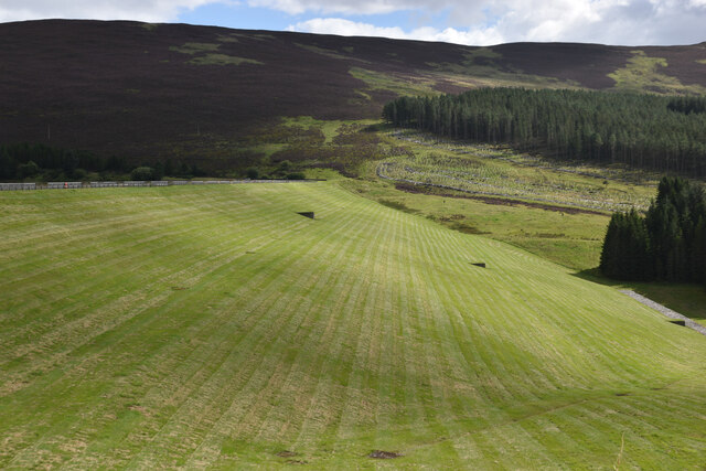
The site is surrounded by beautiful natural scenery, adding to its allure. Visitors to Cairn Plew can explore the area, taking in the breathtaking views of the Angus countryside. Interpretive panels and information boards are present, offering visitors a deeper understanding of the site's historical significance.
Cairn Plew is open to the public, allowing individuals to immerse themselves in the rich history of the area. It serves as a reminder of the ancient civilizations that once populated this region and provides a unique opportunity to appreciate the achievements and traditions of our ancestors.
If you have any feedback on the listing, please let us know in the comments section below.
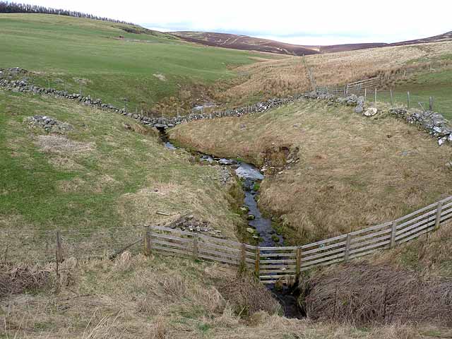
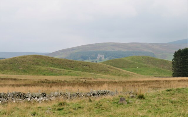
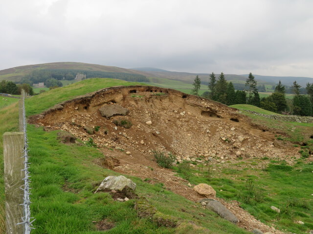
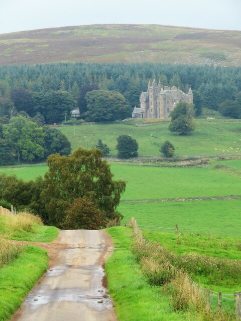
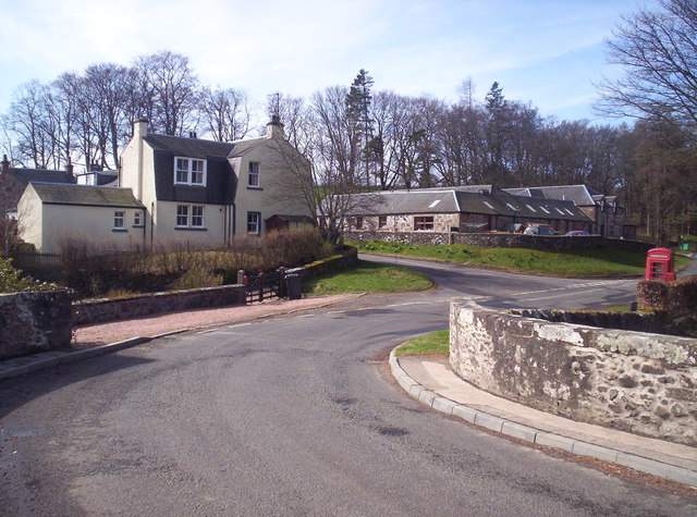
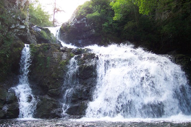
Cairn Plew Images
Images are sourced within 2km of 56.713/-3.2 or Grid Reference NO2658. Thanks to Geograph Open Source API. All images are credited.


Cairn Plew is located at Grid Ref: NO2658 (Lat: 56.713, Lng: -3.2)
What 3 Words
///forced.attic.dishing. Near Alyth, Perth & Kinross
Nearby Locations
Related Wikis

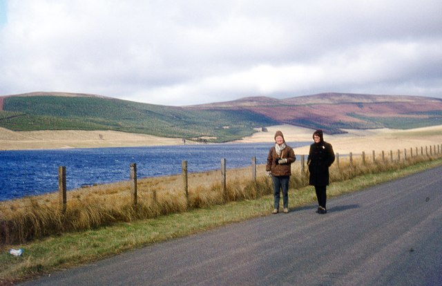
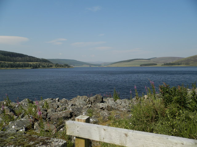
Backwater Reservoir
Backwater Reservoir is a reservoir in north west Angus, Scotland. The reservoir's sole purpose is to provide drinking water, and as such, it supplies Angus...

Balintore, Angus
Balintore (Scottish Gaelic: Baile an Todhair) is a village in Angus, Scotland. It lies in Glen Isla, four miles north of the Loch of Lintrathen and seven...
Balintore Castle
Balintore Castle is a Victorian Category A listed building in Scotland. The castle occupies an elevated site in moorland above Balintore village, a few...

Knockshannoch Lodge
Knockshannoch Lodge is a Category B listed building in the Scottish village of Glenisla, Angus, built around 1888. It is a small, single-storey cottage...

Loch of Lintrathen
Loch of Lintrathen is a man-made loch occupying a glacial basin at the southern end of Glen Isla, approximately 13 kilometres (8.1 mi) west of town of...
Bridgend of Lintrathen
Bridgend of Lintrathen is a village in Angus, Scotland. It is situated on the southern shore of Loch of Lintrathen, six miles west of Kirriemuir. ��2...
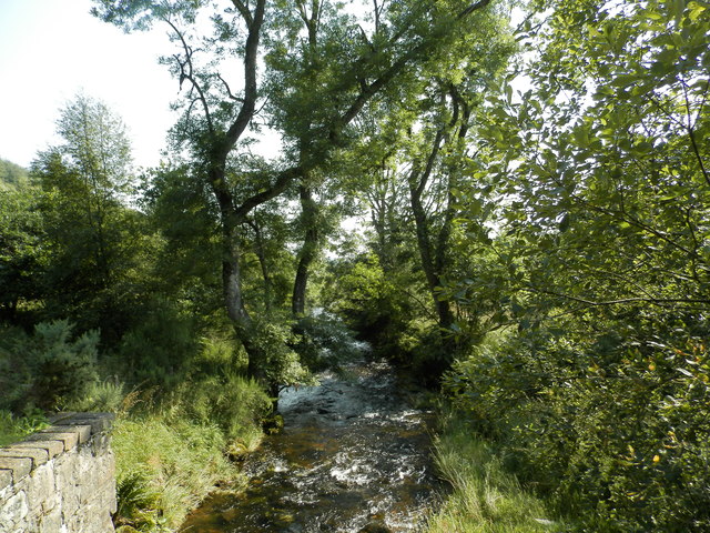
Bridge of Craigisla
Bridge of Craigisla is a hamlet in Angus, Scotland. The bridge crosses the River Isla. This settlement lies along the B954 road. == References ==
Kilry Glen
Kilry Glen, in Angus, Scotland, is the glen of the Burn of Kilry, a tributary of the River Isla. It is situated west of the B954 road, approximately four...
Nearby Amenities
Located within 500m of 56.713,-3.2Have you been to Cairn Plew?
Leave your review of Cairn Plew below (or comments, questions and feedback).