Cairn na Gath

Heritage Site in Wigtownshire

Scotland

Cairn na Gath

The Southern Upland Way near Brockloch Hill
The Southern Upland Way near Brockloch Hill Credit: Dave Kelly

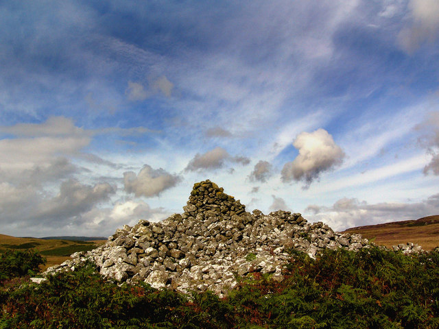
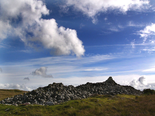
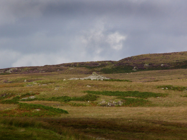
Cairn na Gath is a significant heritage site located in Wigtownshire, a historic county in Scotland. This ancient burial cairn is situated on a hilltop, offering breathtaking panoramic views of the surrounding countryside. It is believed to date back to the Neolithic period, making it over 5,000 years old.

The cairn itself is a circular stone structure, measuring around 15 meters in diameter and standing at a height of approximately 3 meters. It is constructed from large stones stacked upon one another, creating a solid and imposing monument. The entrance to the cairn is marked by a stone passage, leading into a chamber inside the structure.

Excavations of Cairn na Gath have revealed numerous artifacts and remains, including pottery shards, flint tools, and human bones. These findings suggest that the cairn was used as a communal burial site during its time of significance. The strategic location of Cairn na Gath, overlooking the surrounding landscape, indicates its potential role as a place of spiritual and ceremonial importance.

Today, Cairn na Gath is protected as a scheduled monument, recognizing its historic and cultural significance. Visitors can explore the site and witness the impressive construction techniques employed by our Neolithic ancestors. The site also serves as a reminder of the rich and ancient history of the region, providing a connection to our past and offering a glimpse into the lives of those who lived here thousands of years ago.

If you have any feedback on the listing, please let us know in the comments section below.

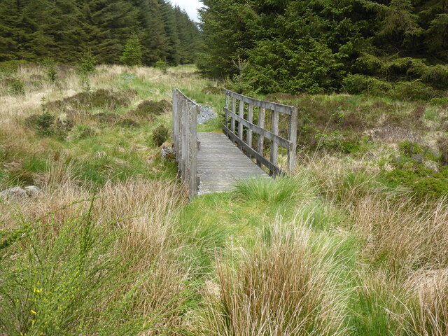
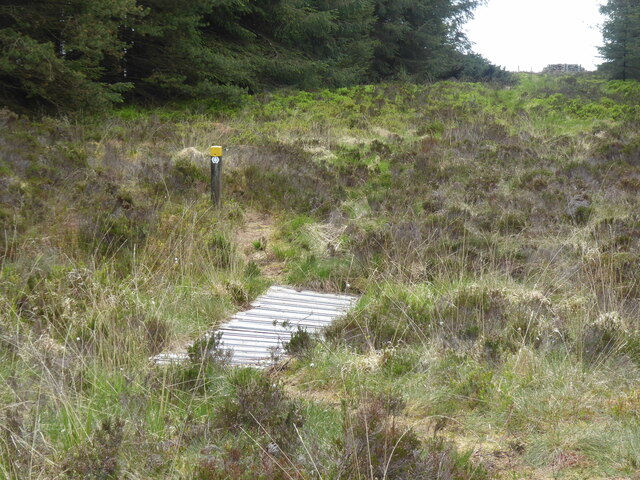
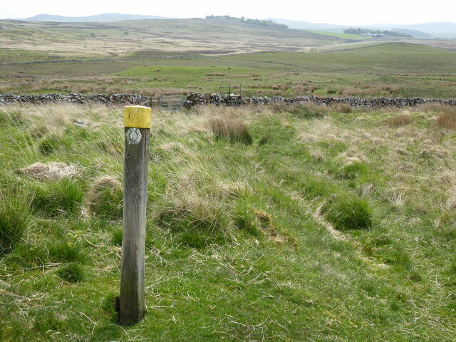
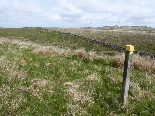
Cairn na Gath Images

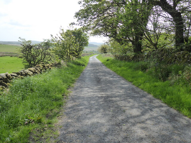
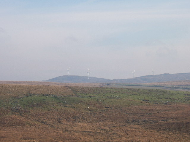
Images are sourced within 2km of 54.97/-4.788 or Grid Reference NX2167. Thanks to Geograph Open Source API. All images are credited.

The Southern Upland Way near Brockloch Hill
The Southern Upland Way near The Glaster
The Southern Upland Way near Knockniehourie
The Southern Upland Way near Cairn-na-Gath
The Southern Upland Way near Kilmacfadzean
The Southern Upland Way near Balmurrie
A windfarm at Artfield Fell, East of New Luce Photo taken from the New Luce to barrhill road near to Quarter Farm, New Luce.
A windfarm at Artfield Fell, East of New Luce
Photo taken from the New Luce to barrhill road near to Quarter Farm, New Luce.
Kilmacfadzean Cill mic Phaidin - the chapel of the son of Paidin, or little Patrick.
Kilmacfadzean
Cill mic Phaidin - the chapel of the son of Paidin, or little Patrick.
Cairn Na Gath Carn na gcat - the cairn of the wild cat. This is a neolithic chambered long cairn.  At the south end there are the remains of huts or enclosures, probably of relatively recent date. There is no visible evidence of a burial chamber.
Cairn Na Gath
Carn na gcat - the cairn of the wild cat. This is a neolithic chambered long cairn. At the south end there are the remains of huts or enclosures, probably of relatively recent date. There is no visible evidence of a burial chamber.
Cairn na Gath Carn na gcat - the cairn of the wild cat. This is a  chambered long cairn dating to the neolithic.  At the south end there are the remains of huts or enclosures, probably of relatively recent date. There is no visible evidence of a burial chamber.
Cairn na Gath
Carn na gcat - the cairn of the wild cat. This is a chambered long cairn dating to the neolithic. At the south end there are the remains of huts or enclosures, probably of relatively recent date. There is no visible evidence of a burial chamber.
Cairn na Gath Carn na gcat - the cairn of the wild cat. This is a neolithic chambered long cairn.  At the south end there are the remains of huts or enclosures, probably of relatively recent date. There is no visible evidence of a burial chamber.
Cairn na Gath
Carn na gcat - the cairn of the wild cat. This is a neolithic chambered long cairn. At the south end there are the remains of huts or enclosures, probably of relatively recent date. There is no visible evidence of a burial chamber.
Balmurrie
Balmurrie
Balmurrie
Balmurrie
Show me another place!

Cairn na Gath is located at Grid Ref: NX2167 (Lat: 54.97, Lng: -4.788)

Unitary Authority: Dumfries and Galloway

Police Authority: Dumfries and Galloway

What 3 Words

///zinc.loafing.fatherly. Near Cairnryan, Dumfries & Galloway

Nearby Locations

Cairn na Gath

Related Wikis

Tarf Water, Wigtownshire

The Tarf Water is a river in the former county of Wigtownshire in south-west Scotland. It rises on the Ayrshire border (55.0048°N 4.7815°W / 55.0048;...

New Luce

New Luce (Scottish Gaelic: Baile Ùr Ghlinn Lus) is a civil parish in Dumfries and Galloway, south-west Scotland. It lies in the traditional county of Wigtownshire...

New Luce railway station

New Luce railway station served the village of New Luce, Dumfries and Galloway, Scotland from 1887 to 1965 on the Girvan and Portpatrick Junction Railway...

Glenwhilly railway station

Glenwhilly railway station served the area of Glenwhilly, Dumfries and Galloway, Scotland from 1887 to 1965 on the Girvan and Portpatrick Junction Railway...

Nearby Amenities

Located within 500m of 54.97,-4.788
Generator Method: wind_turbine
Generator Source: wind
Generator Type: horizontal_axis
Power: generator
Lat/Long: 54.9701262/-4.7840211
Generator Method: wind_turbine
Generator Source: wind
Generator Type: horizontal_axis
Power: generator
Lat/Long: 54.9677367/-4.7853836
Generator Method: wind_turbine
Generator Source: wind
Generator Type: horizontal_axis
Power: generator
Lat/Long: 54.9688822/-4.7812745
Cairn na Gath
Historic: archaeological_site
Lat/Long: 54.9692037/-4.7938466
The data included in this document is from www.openstreetmap.org. The data is made available under ODbL.

Have you been to Cairn na Gath?

Leave your review of Cairn na Gath below (or comments, questions and feedback).