Caerlan Tibot

Heritage Site in Caernarfonshire

Wales

Caerlan Tibot

A487 at Plas Menai Roundabout Roadworks at the Plas Menai Roundabout as the diversion to the A487 (the new Caernarfon to Bontnewydd bypass <span class="nowrap"><a title="https://gov.wales/a487-caernarfon-bontnewydd-bypass" rel="nofollow ugc noopener" href="https://gov.wales/a487-caernarfon-bontnewydd-bypass">Link</a><img style="margin-left:2px;" alt="External link" title="External link - shift click to open in new window" src="https://s1.geograph.org.uk/img/external.png" width="10" height="10"/></span> ) is nearing completion (it would be opened later in the week).
A487 at Plas Menai Roundabout Credit: David Dixon

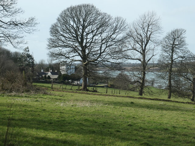
Caerlan Tibot, located in Caernarfonshire, Wales, is a significant heritage site that showcases the rich history and cultural heritage of the region. It is a well-preserved hillfort, dating back to the Iron Age, and is considered as one of the most important archaeological sites in the area.

The hillfort occupies a strategic position on a hilltop, providing commanding views of the surrounding landscape. It is believed to have been constructed around the 1st century BC and was inhabited until the Roman period. The site covers an area of approximately 2.5 hectares and is surrounded by multiple layers of defensive walls and ditches.

Within the hillfort, there are clear traces of circular huts, indicating the presence of a thriving community during its occupation. Archaeological excavations have revealed various artifacts, including pottery, tools, and jewelry, providing valuable insights into the daily lives and activities of the ancient inhabitants.

Caerlan Tibot is not only historically significant but also offers a breathtaking natural setting. Visitors can enjoy panoramic views of the surrounding countryside, including the nearby Snowdonia National Park. The site is accessible via a footpath and offers ample parking facilities for visitors.

As a heritage site, Caerlan Tibot is managed and protected by local authorities to ensure its preservation for future generations. It serves as an important educational resource, providing opportunities for archaeological research, guided tours, and educational programs.

If you have any feedback on the listing, please let us know in the comments section below.

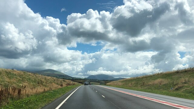
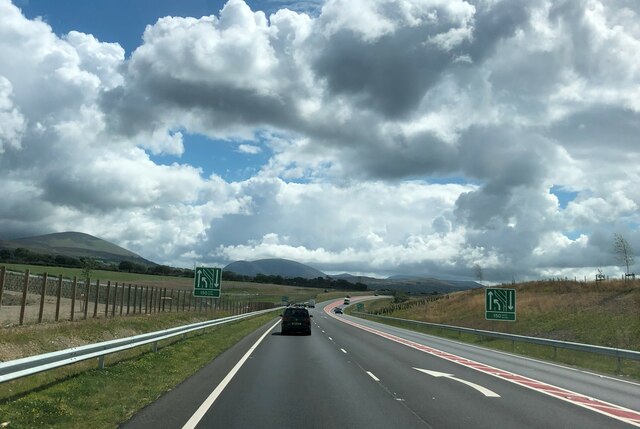
Caerlan Tibot Images

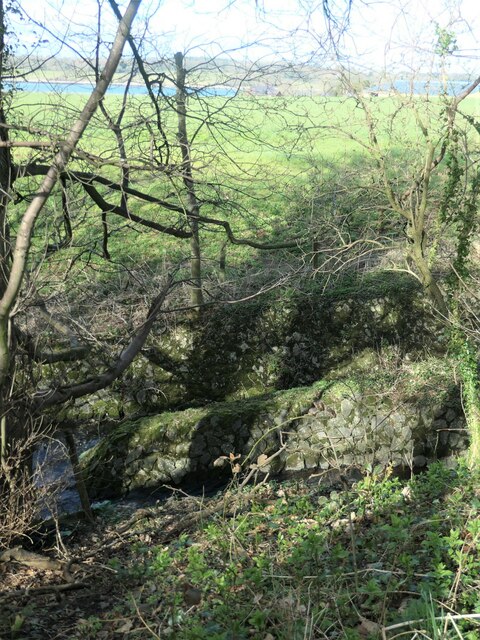
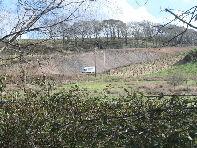
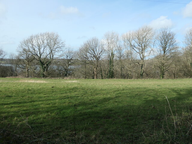
Images are sourced within 2km of 53.157/-4.237 or Grid Reference SH5064. Thanks to Geograph Open Source API. All images are credited.
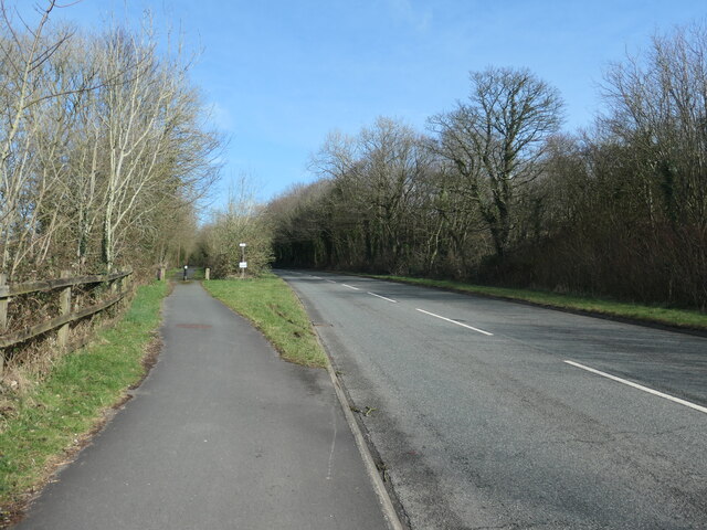
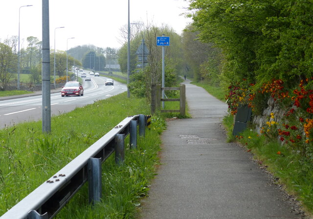
A487 at Plas Menai Roundabout Roadworks at the Plas Menai Roundabout as the diversion to the A487 (the new Caernarfon to Bontnewydd bypass <span class="nowrap"><a title="https://gov.wales/a487-caernarfon-bontnewydd-bypass" rel="nofollow ugc noopener" href="https://gov.wales/a487-caernarfon-bontnewydd-bypass">Link</a><img style="margin-left:2px;" alt="External link" title="External link - shift click to open in new window" src="https://s1.geograph.org.uk/img/external.png" width="10" height="10"/></span> ) is nearing completion (it would be opened later in the week).
A487 at Plas Menai Roundabout
Roadworks at the Plas Menai Roundabout as the diversion to the A487 (the new Caernarfon to Bontnewydd bypass LinkExternal link ) is nearing completion (it would be opened later in the week).
Llanberis Road approaching Bypass Remnants of the roadworks at the new roundabout where the A4086 meets the "new" A487 Caernarfon to Bontnewydd bypass <span class="nowrap"><a title="https://gov.wales/a487-caernarfon-bontnewydd-bypass" rel="nofollow ugc noopener" href="https://gov.wales/a487-caernarfon-bontnewydd-bypass">Link</a><img style="margin-left:2px;" alt="External link" title="External link - shift click to open in new window" src="https://s1.geograph.org.uk/img/external.png" width="10" height="10"/></span> which was due to be opened later in the week.
Llanberis Road approaching Bypass
Remnants of the roadworks at the new roundabout where the A4086 meets the "new" A487 Caernarfon to Bontnewydd bypass LinkExternal link which was due to be opened later in the week.
Llanberis Road passing Restaurant at Rhosbodrual The A4086 runs for almost 18 miles between Caernarfon and Capel Curig. It is a popular tourist route as it passes through some of the most memorable and famous parts of Snowdonia including the Llanberis Pass.
Llanberis Road passing Restaurant at Rhosbodrual
The A4086 runs for almost 18 miles between Caernarfon and Capel Curig. It is a popular tourist route as it passes through some of the most memorable and famous parts of Snowdonia including the Llanberis Pass.
Llanberis Road near Pont-Rug The A4086 runs for almost 18 miles between Caernarfon and Capel Curig. It is a popular tourist route as it passes through some of the most memorable and famous parts of Snowdonia including the Llanberis Pass.
Llanberis Road near Pont-Rug
The A4086 runs for almost 18 miles between Caernarfon and Capel Curig. It is a popular tourist route as it passes through some of the most memorable and famous parts of Snowdonia including the Llanberis Pass.
Open-sided barn, Parciau Farm Above some holiday cottages and the road to Caernarfon.
Open-sided barn, Parciau Farm
Above some holiday cottages and the road to Caernarfon.
This way to Griffiths Crossing and Caernarfon Lon Las Menai, heading south-west. Built on the track bed of the former railway between Bangor and Caernarfon.
This way to Griffiths Crossing and Caernarfon
Lon Las Menai, heading south-west. Built on the track bed of the former railway between Bangor and Caernarfon.
Unknown structures in a stream bed At the downstream end of a culvert under the former Bangor - Caernarfon railway.
Unknown structures in a stream bed
At the downstream end of a culvert under the former Bangor - Caernarfon railway.
Gash in the hillside, below Bryn Covert The northern end of the new Caernarfon and Bontnewydd by-pass.
Gash in the hillside, below Bryn Covert
The northern end of the new Caernarfon and Bontnewydd by-pass.
A487, old and new In the foreground, the old A487 from Y Felinheli to Caernarfon [now the A4871]. Cutting through the hillside, the new A487 from Y Felinheli, bypassing both Caernarfon and Bontnewydd.
A487, old and new
In the foreground, the old A487 from Y Felinheli to Caernarfon [now the A4871]. Cutting through the hillside, the new A487 from Y Felinheli, bypassing both Caernarfon and Bontnewydd.
Lon Las Menai, near Llanfair Hall Farm The end of a short stretch along the pavement of Ffordd Caernarfon / Caernarfon Road.
Lon Las Menai, near Llanfair Hall Farm
The end of a short stretch along the pavement of Ffordd Caernarfon / Caernarfon Road.
The southern edge of Llanfair Wood Descending to the shore of the Menai Straits.
The southern edge of Llanfair Wood
Descending to the shore of the Menai Straits.
Trees along a field boundary, near Plas Llanfair Seen from Lon Las Menai.
Trees along a field boundary, near Plas Llanfair
Seen from Lon Las Menai.
Public footpath heading south-east towards Bethel On the south side of Caernarfon Road, near Llanfair Hall Farm.
Public footpath heading south-east towards Bethel
On the south side of Caernarfon Road, near Llanfair Hall Farm.
An entrance to Llanfair Hall Farm On the north side of Caernarfon Road.
An entrance to Llanfair Hall Farm
On the north side of Caernarfon Road.
The A487, just west of Y Felinheli The new road descends to the roundabout at the western end of the Y Felinheli bypass.
The A487, just west of Y Felinheli
The new road descends to the roundabout at the western end of the Y Felinheli bypass.
A487 Caernarfon by-pass Heading west towards the Lleyn peninsula. The road opened in early 2022, ahead of schedule
A487 Caernarfon by-pass
Heading west towards the Lleyn peninsula. The road opened in early 2022, ahead of schedule
A487 Caernarfon by-pass Going down to one lane heading west
A487 Caernarfon by-pass
Going down to one lane heading west
National Cycle Route 8 along the A4871 Caernarfon Road Route 8 of the National Cycle Network, also known as Lôn Las Cymru, runs for 436km (271 miles) between Cardiff and Holyhead via Brecon, Builth Wells, Machynlleth, Porthmadog and Bangor.  Between Machynlleth and Porthmadog there are alternative routes - one coastal, the other inland via Dolgellau, Coed y Brenin and Trawsfynydd.
National Cycle Route 8 along the A4871 Caernarfon Road
Route 8 of the National Cycle Network, also known as Lôn Las Cymru, runs for 436km (271 miles) between Cardiff and Holyhead via Brecon, Builth Wells, Machynlleth, Porthmadog and Bangor. Between Machynlleth and Porthmadog there are alternative routes - one coastal, the other inland via Dolgellau, Coed y Brenin and Trawsfynydd.
Show me another place!

Caerlan Tibot is located at Grid Ref: SH5064 (Lat: 53.157, Lng: -4.237)

What 3 Words

///plastic.heartache.removers. Near Caernarfon, Gwynedd

Nearby Locations

Caerlan Tibot

Related Wikis

Griffith's Crossing railway station

Griffith's Crossing railway station was a former railway station located on the Bangor and Carnarvon Railway about a mile and a half south west of Port...

Llanfair-is-gaer

Llanfair-is-gaer was an ecclesiastical parish in Caernarfon, Gwynedd: the parish church was St Mary's. == References ==

Pont Rug (Halt) railway station

Pont Rug railway station was located to the east of Caernarfon, Gwynedd, Wales, where the A4086 crosses the Afon Seiont. The station opened in 1880. It...

Menai (Caernarfon ward)

Menai is the name of an electoral ward in the town of Caernarfon, Gwynedd, Wales. As the name suggests, it borders the Menai Strait. The ward elects councillors...

Nearby Amenities

Located within 500m of 53.157,-4.237
Power: pole
Lat/Long: 53.1542328/-4.242093
Power: pole
Lat/Long: 53.1571516/-4.2411357
Power: pole
Lat/Long: 53.15499/-4.2420208
Power: pole
Lat/Long: 53.1563912/-4.2427716
Power: pole
Lat/Long: 53.1604055/-4.240489
Power: pole
Lat/Long: 53.1563715/-4.2415782
Power: pole
Lat/Long: 53.1573546/-4.2418542
Power: pole
Lat/Long: 53.1597457/-4.2395934
Power: pole
Lat/Long: 53.1581021/-4.2410659
Power: pole
Lat/Long: 53.1605788/-4.239116
Power: pole
Lat/Long: 53.159336/-4.2407814
Power: pole
Lat/Long: 53.155302/-4.2437401
Power: pole
Lat/Long: 53.1579529/-4.2406553
Power: pole
Lat/Long: 53.1588097/-4.2401325
Power: pole
Lat/Long: 53.1557025/-4.2419564
Power: pole
Lat/Long: 53.1536969/-4.2402937
Power: pole
Lat/Long: 53.1553131/-4.2331663
Power: pole
Lat/Long: 53.1547488/-4.235514
Power: pole
Lat/Long: 53.1550222/-4.2343929
Power: pole
Lat/Long: 53.1555658/-4.234012
Power: pole
Lat/Long: 53.1555851/-4.2321237
Power: pole
Lat/Long: 53.1540861/-4.2384698
Power: pole
Lat/Long: 53.1558585/-4.2309972
Power: pole
Lat/Long: 53.1539124/-4.2393067
Power: pole
Lat/Long: 53.1560998/-4.2337813
Power: pole
Lat/Long: 53.154411/-4.2370322
Power: pole
Lat/Long: 53.1548549/-4.2329659
Power: pole
Lat/Long: 53.1546109/-4.233786
Power: pole
Lat/Long: 53.1543648/-4.2341535
Aeroway: windsock
Lat/Long: 53.1579751/-4.2343712
The data included in this document is from www.openstreetmap.org. The data is made available under ODbL.

Have you been to Caerlan Tibot?

Leave your review of Caerlan Tibot below (or comments, questions and feedback).