Caerbwdy and Carn Nwchwm
Heritage Site in Pembrokeshire
Wales
Caerbwdy and Carn Nwchwm
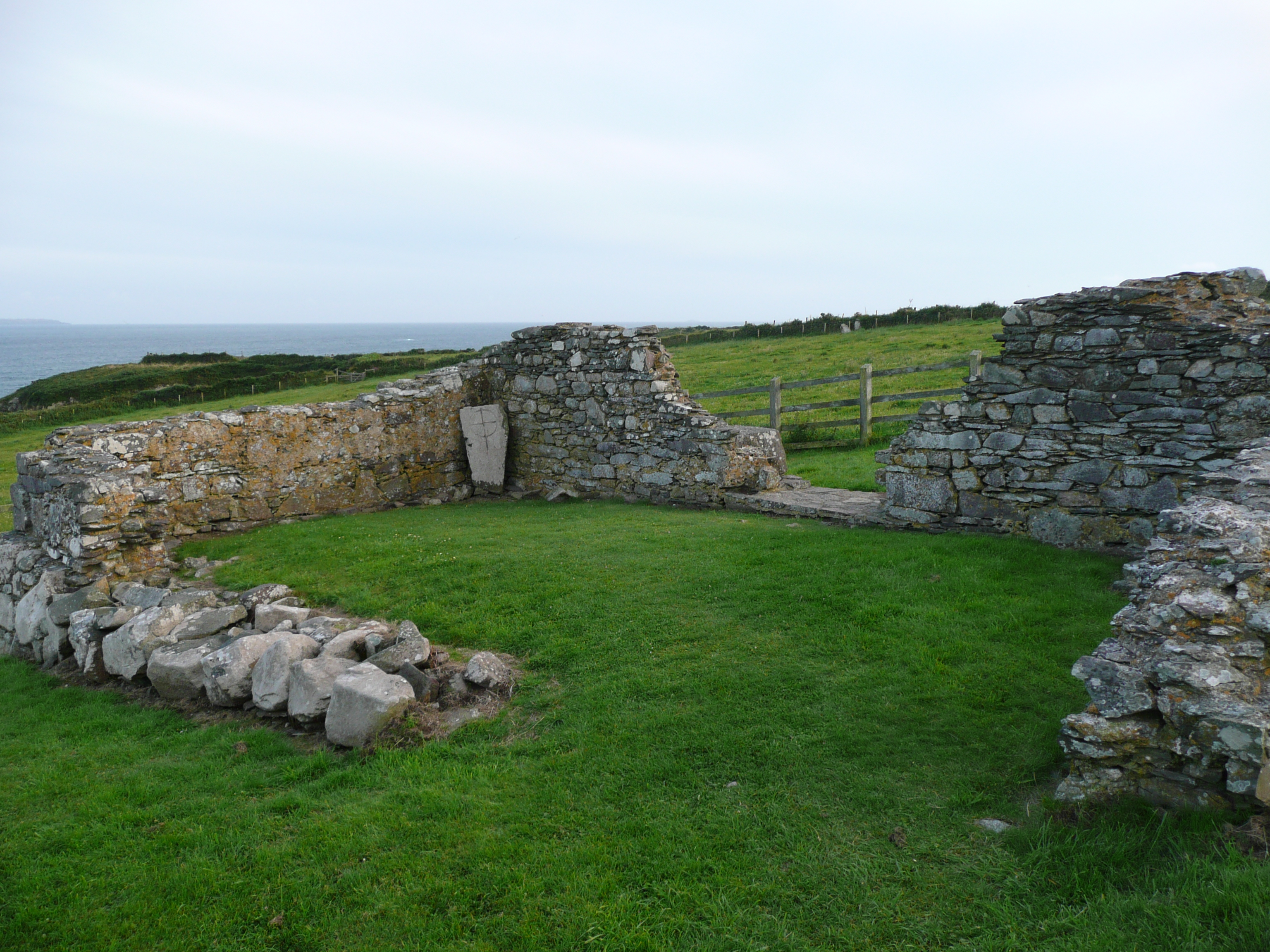
Caerbwdy and Carn Nwchwm, located in Pembrokeshire, Wales, are two ancient heritage sites that offer fascinating insights into the region's rich history. Caerbwdy is an Iron Age hillfort, while Carn Nwchwm is a nearby burial cairn. Together, they provide a glimpse into the lives and customs of the people who inhabited this area thousands of years ago.
Caerbwdy is a prominent hillfort situated on a ridge overlooking the picturesque valley of the Western Cleddau River. It dates back to the Iron Age, around 600 BCE, and is believed to have been occupied for several centuries. The fort is roughly oval in shape, with ramparts and ditches encircling the site. Excavations have revealed evidence of roundhouses and other structures within the fort, suggesting that it served as a significant settlement during its time.
Carn Nwchwm, located just a short distance from Caerbwdy, is a burial cairn thought to be associated with the hillfort. It is a large mound of stones, measuring approximately 14 meters in diameter and 1.5 meters in height. The cairn is believed to have been constructed during the Bronze Age, around 2000 BCE, and it is thought to have been used for ceremonial burials.
Both Caerbwdy and Carn Nwchwm are protected as scheduled ancient monuments, and they provide a valuable window into the ancient past of Pembrokeshire. Visitors to these sites can explore the hillfort's defensive earthworks, walk along the ridge to enjoy stunning views of the surrounding landscape, and contemplate the significance of the burial cairn. These heritage sites offer a unique opportunity to connect with the ancient history and cultural heritage of this beautiful region.
If you have any feedback on the listing, please let us know in the comments section below.
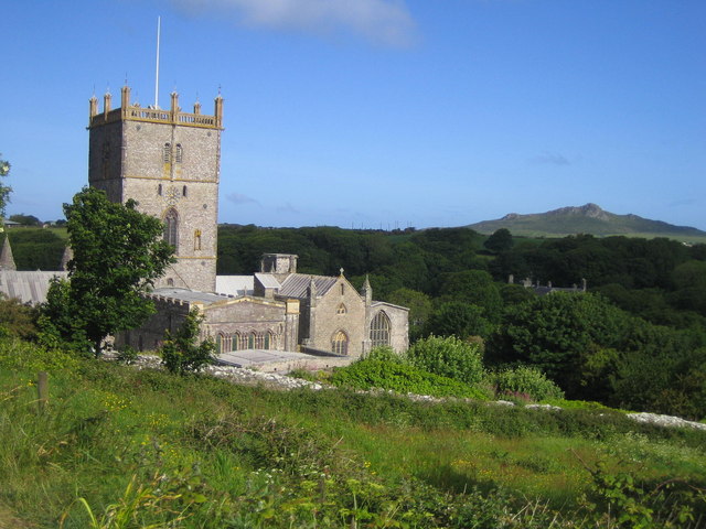
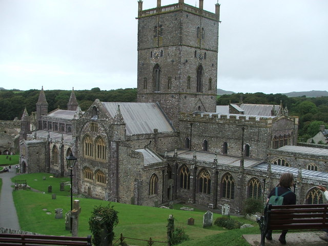
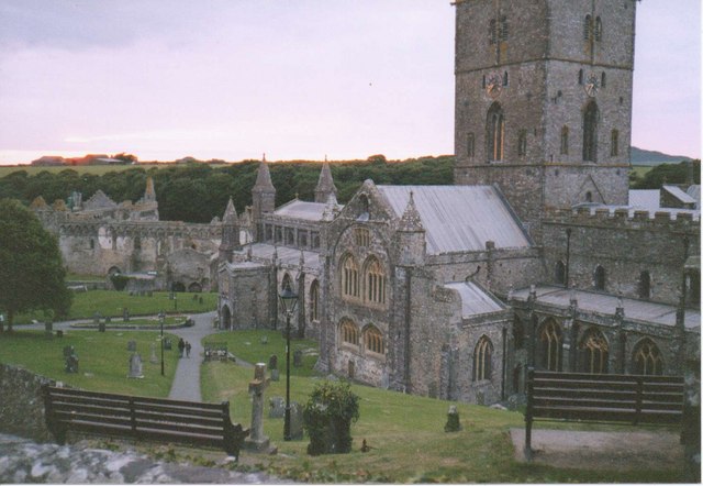
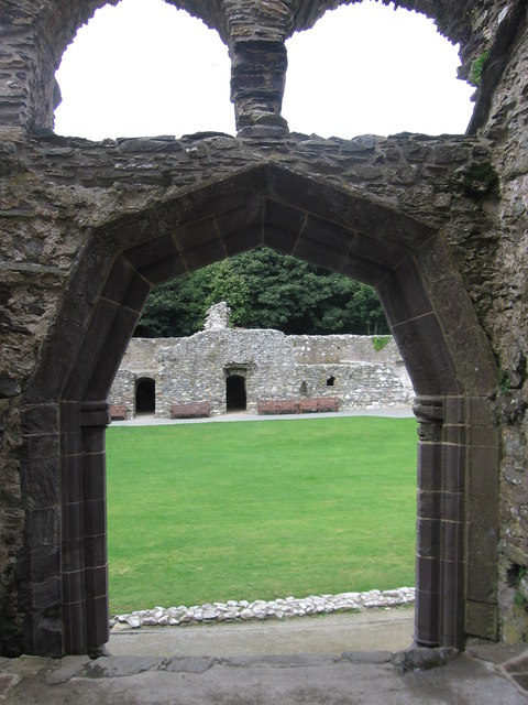
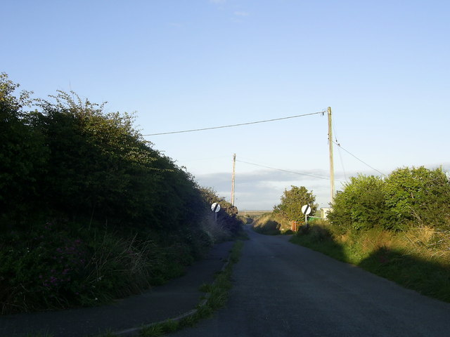
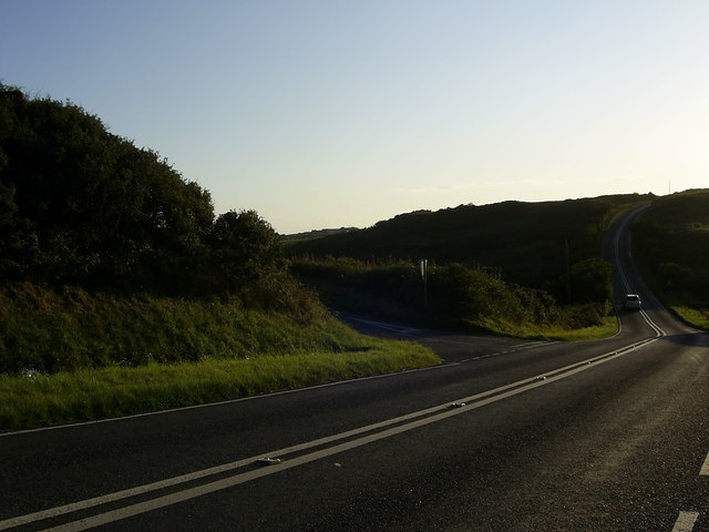
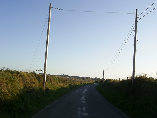
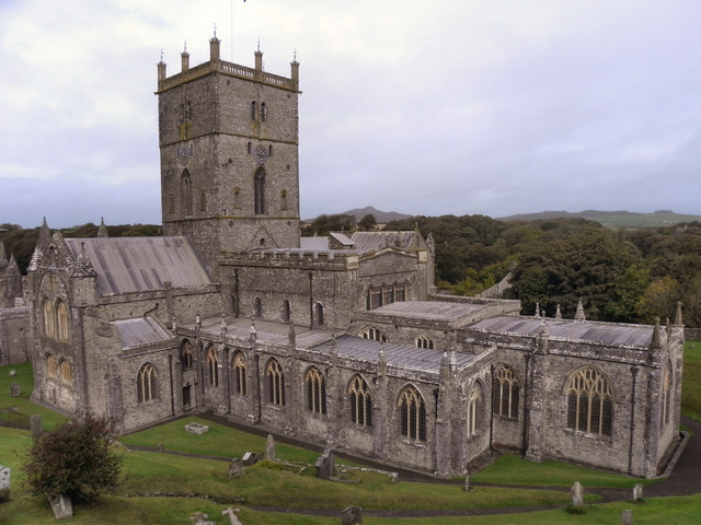
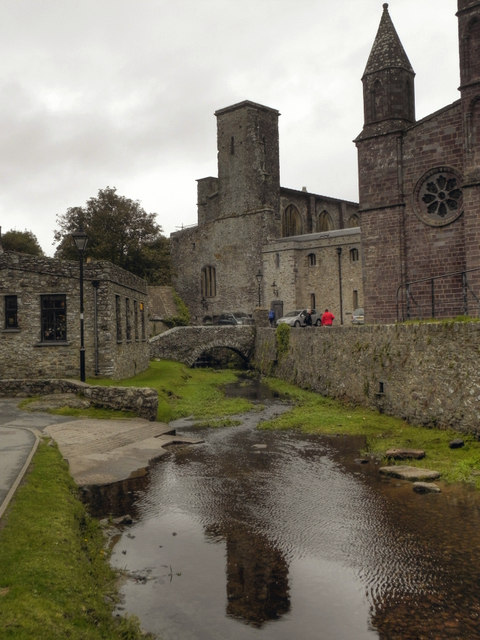
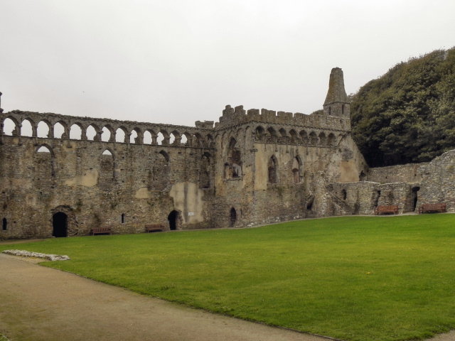
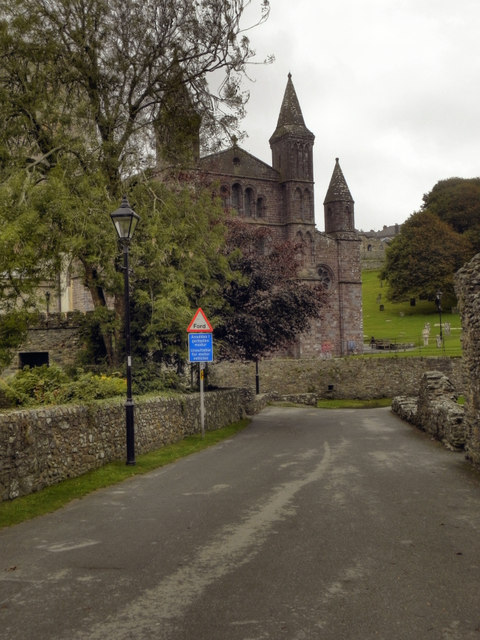
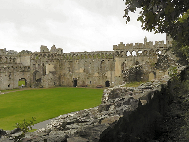
Caerbwdy and Carn Nwchwm Images
Images are sourced within 2km of 51.874/-5.245 or Grid Reference SM7624. Thanks to Geograph Open Source API. All images are credited.


Caerbwdy and Carn Nwchwm is located at Grid Ref: SM7624 (Lat: 51.874, Lng: -5.245)
Unitary Authority: Pembrokeshire
Police Authority: Dyfed Powys
What 3 Words
///feasting.rods.mulls. Near St Davids, Pembrokeshire
Nearby Locations
Related Wikis

Caerfai Bay
Caerfai Bay is a rocky cove on the north coast of St Brides Bay near St Davids in Pembrokeshire, West Wales. It is enclosed by steep varicoloured cliffs...

Ysgol Dewi Sant
Ysgol Dewi Sant is a secondary school in St Davids, Pembrokeshire, Wales. == Description == The school serves the historic city of St Davids and an extensive...

St Davids City Hall
St Davids City Hall (Welsh: Neuadd y Ddinas Tyddewi) is a municipal building in the High Street, St Davids, Pembrokeshire, Wales. The structure is currently...

St David's (Pembrokeshire electoral ward)
St David's is the name of an electoral ward in Pembrokeshire, Wales. It covers the small city of St Davids and the ward's boundaries are coterminous with...
Chapel of St Non
The Chapel of St Non is located on the coast near St David's in Pembrokeshire, West Wales. Held by tradition to mark the birthplace of St David, the ruin...

Diocese of St Davids
The Diocese of St Davids is a diocese of the Church in Wales, a church of the Anglican Communion. The diocese covers the historic extent of Ceredigion...
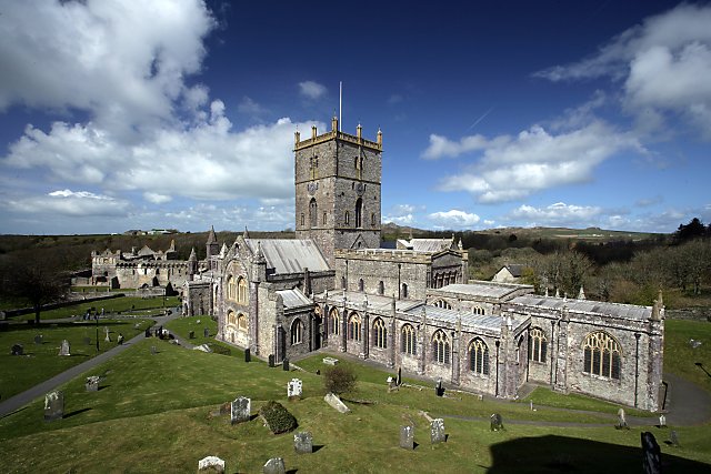
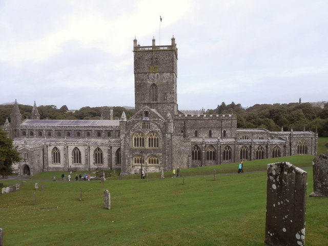
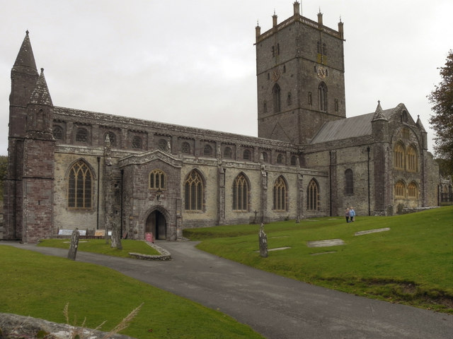
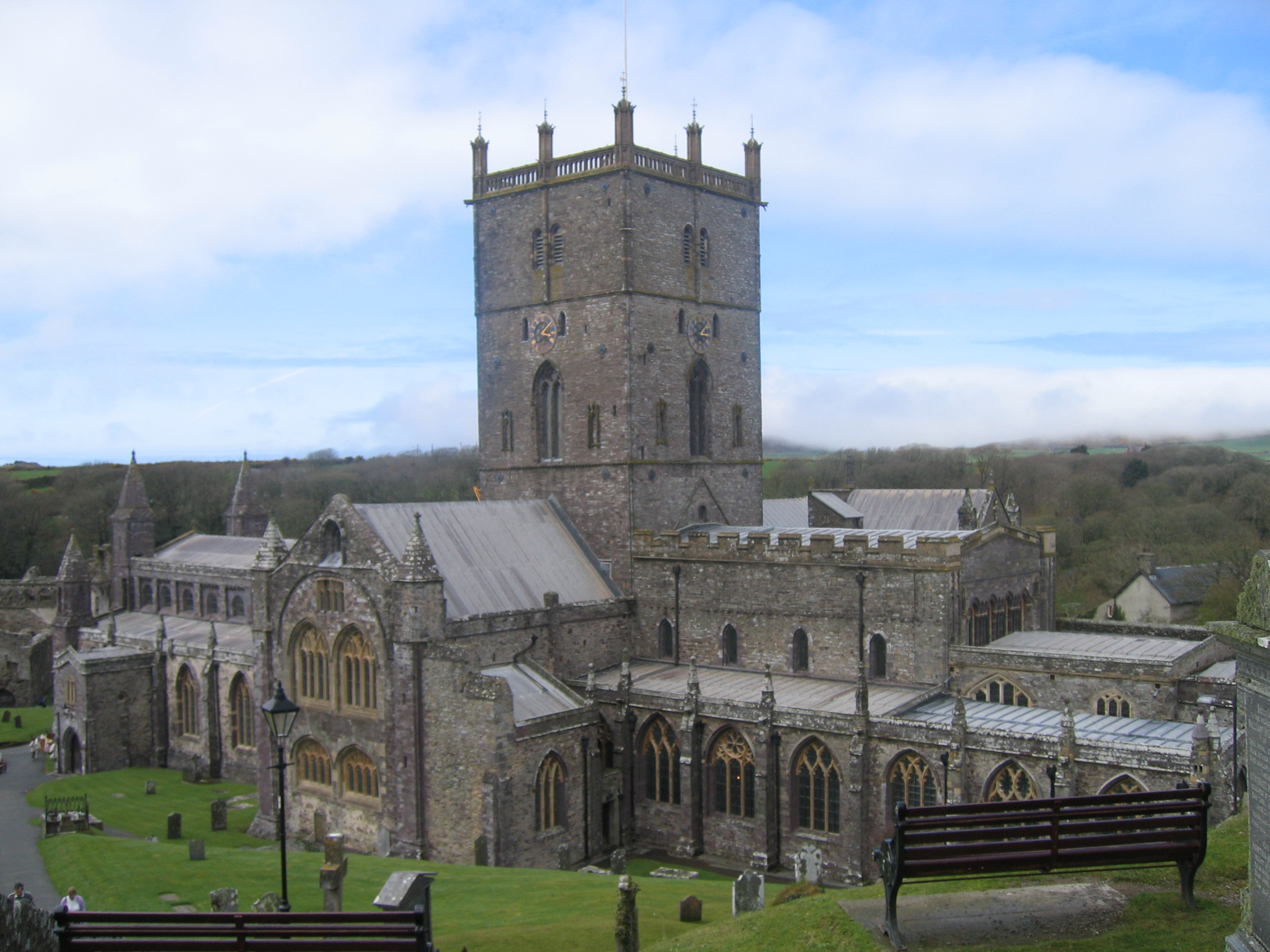
St Davids Cathedral
St Davids Cathedral (Welsh: Eglwys Gadeiriol Tyddewi) is an Anglican cathedral situated in St Davids, Britain's smallest city, in the county of Pembrokeshire...
St Davids
St Davids or St David's (Welsh: Tyddewi, [tiː ˈðɛwi], lit. "David's house”) is a cathedral city in Pembrokeshire, Wales. It lies on the River Alun and...
Nearby Amenities
Located within 500m of 51.874,-5.245Have you been to Caerbwdy and Carn Nwchwm?
Leave your review of Caerbwdy and Carn Nwchwm below (or comments, questions and feedback).