Caer Eini
Heritage Site in Merionethshire
Wales
Caer Eini

Caer Eini, located in Merionethshire, Wales, is a significant heritage site that holds historical and archaeological importance. This ancient fortification is believed to have been constructed during the Iron Age and was occupied until the Roman period.
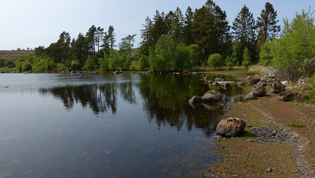
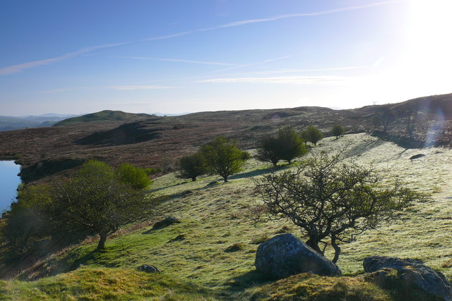
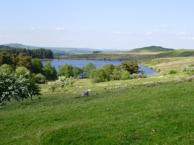
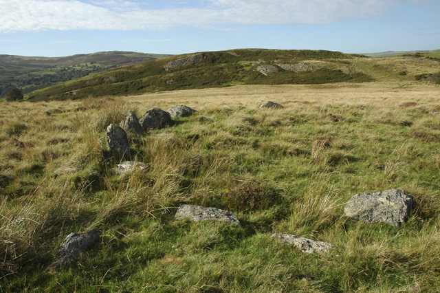
Situated on a hilltop, Caer Eini offers breathtaking panoramic views of the surrounding landscape. The fortification covers an area of approximately 1.5 hectares and consists of a single rampart enclosing an inner area. The rampart is made up of large stone blocks, which were likely sourced from the local area.
The site's strategic location suggests that it served as a defensive structure to protect the local inhabitants from potential threats. Its position would have allowed its occupants to have a clear line of sight over the surrounding countryside, enabling them to monitor any approaching enemies.
Excavations carried out at Caer Eini have uncovered evidence of roundhouses and storage pits, indicating that it was not only a defensive fort but also a settlement. Artefacts such as pottery fragments, stone tools, and animal bones have been found in the area, shedding light on the daily lives of its inhabitants.
Caer Eini is an important link to the region's past, providing valuable insights into the Iron Age and Roman occupation in the area. Visitors to the site can explore its remains and immerse themselves in the rich history that this heritage site has to offer.
If you have any feedback on the listing, please let us know in the comments section below.
Caer Eini Images
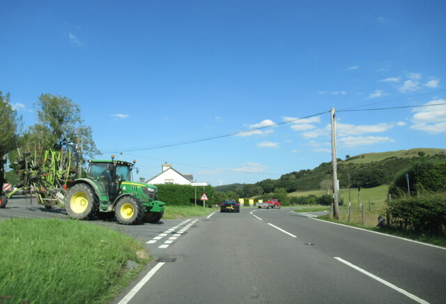
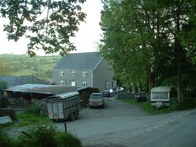
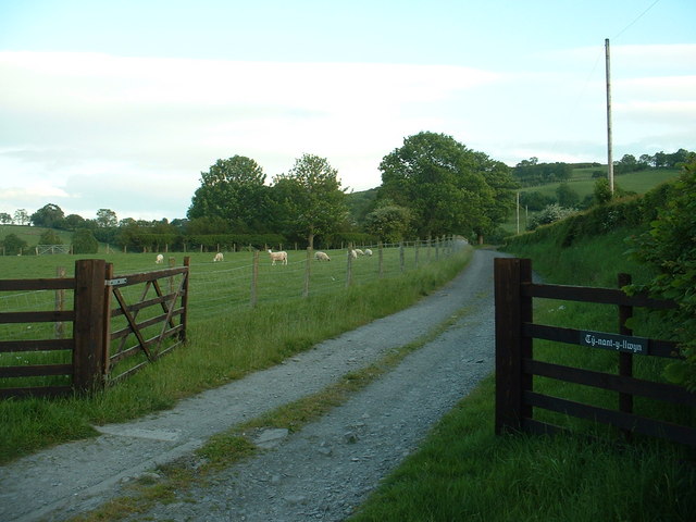
Images are sourced within 2km of 52.962/-3.497 or Grid Reference SH9941. Thanks to Geograph Open Source API. All images are credited.


Caer Eini is located at Grid Ref: SH9941 (Lat: 52.962, Lng: -3.497)
Unitary Authority: Gwynedd
Police Authority: North Wales
What 3 Words
///rebirth.downturn.beak. Near Llangwm, Conwy
Nearby Locations
Related Wikis
Caer Euni
Caer Euni [Grid reference SJ 00027 41266] is an Iron Age hillfort, about 2.5 miles (4 km) north-east of the village of Llandderfel and about 5 miles (8...
A494 road
The A494 is a trunk road in Wales and England. The route, which is officially known as the Dolgellau to South of Birkenhead Trunk Road, runs between the...

Glan-yr-afon, Gwynedd
Glan-yr-afon is a small village near Corwen in Gwynedd, Wales and is situated on the A494. The village is on the boundary of Gwynedd and Denbighshire....

Llangwm, Conwy
Llangwm is a village and community in Conwy County Borough, in Wales. It is located in the valley of the Afon Medrad, close to the borders with Denbighshire...
Have you been to Caer Eini?
Leave your review of Caer Eini below (or comments, questions and feedback).