Caer Allt-gôch
Heritage Site in Cardiganshire
Wales
Caer Allt-gôch
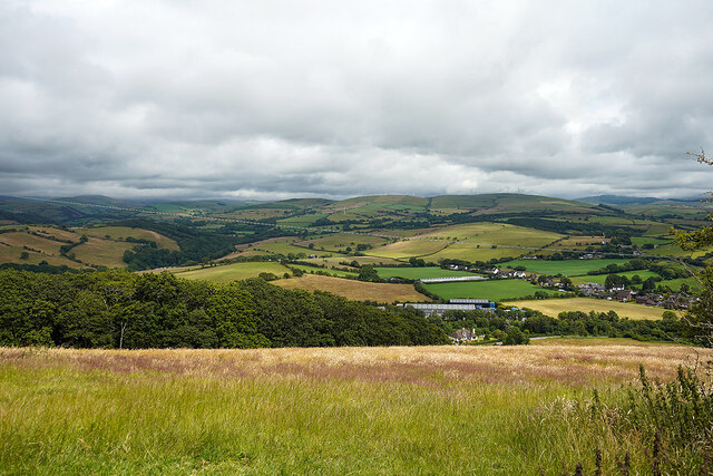
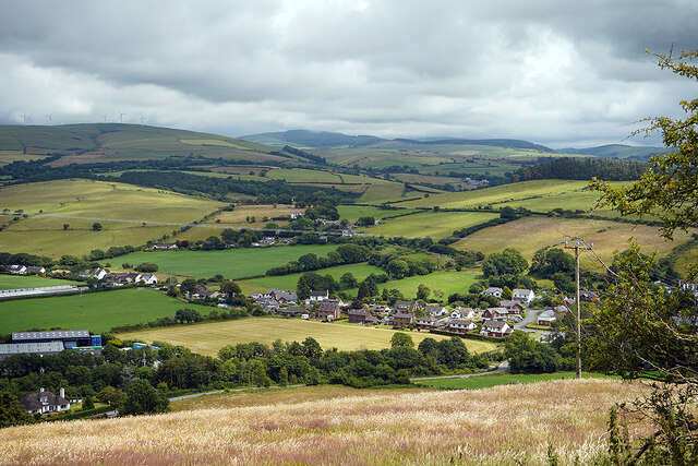
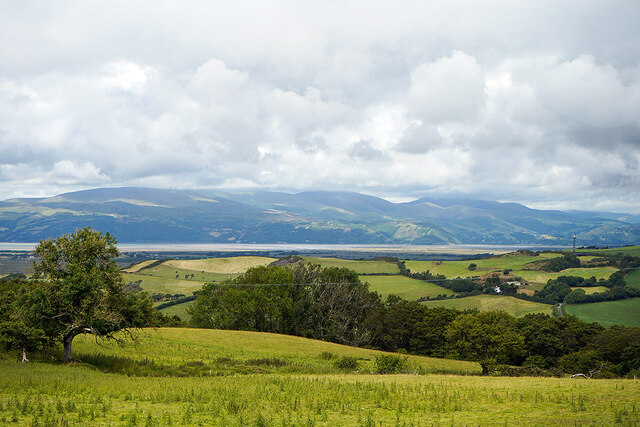
Caer Allt-gôch is a historic heritage site located in Cardiganshire, Wales. This ancient hillfort is situated on a prominent hilltop, offering breathtaking views of the surrounding countryside.
Dating back to the Iron Age, Caer Allt-gôch is believed to have been constructed around 500 BC. The hillfort consists of a series of earthworks and defensive walls, enclosing an area of approximately 2 hectares. The walls are made of stone and clay, standing at an impressive height of up to 2 meters in some sections.
The site's strategic location indicates its importance as a defensive stronghold during ancient times. The hillfort's elevated position provided its inhabitants with a clear vantage point, allowing them to monitor and control the surrounding landscape. The fort's walls were designed to protect the community living within its boundaries from potential invaders.
Archaeological excavations at Caer Allt-gôch have revealed evidence of human occupation spanning several centuries. Discoveries include pottery fragments, tools, and animal remains, providing valuable insights into the daily lives and practices of the ancient inhabitants.
Today, Caer Allt-gôch remains a popular destination for history enthusiasts, hikers, and nature lovers alike. The well-preserved earthworks and stunning views make it an ideal spot for exploration and contemplation. The site is easily accessible by foot, with nearby parking available for visitors.
As a designated heritage site, Caer Allt-gôch serves as a tangible reminder of the region's rich and ancient history, allowing visitors to connect with the past and appreciate the architectural and engineering achievements of our ancestors.
If you have any feedback on the listing, please let us know in the comments section below.
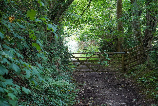
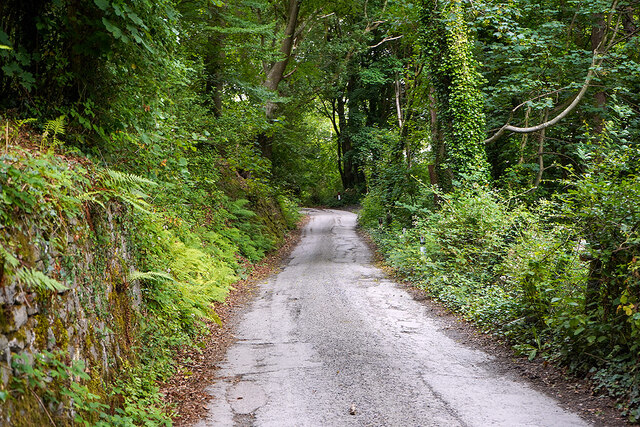
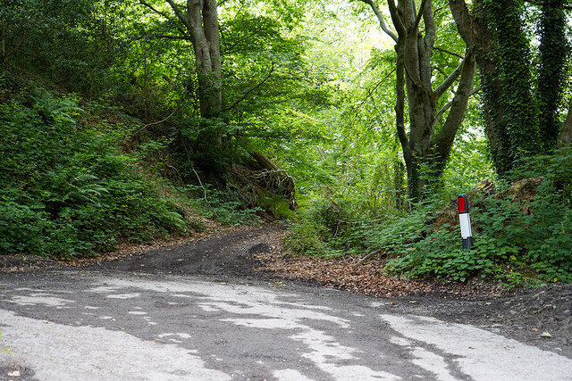
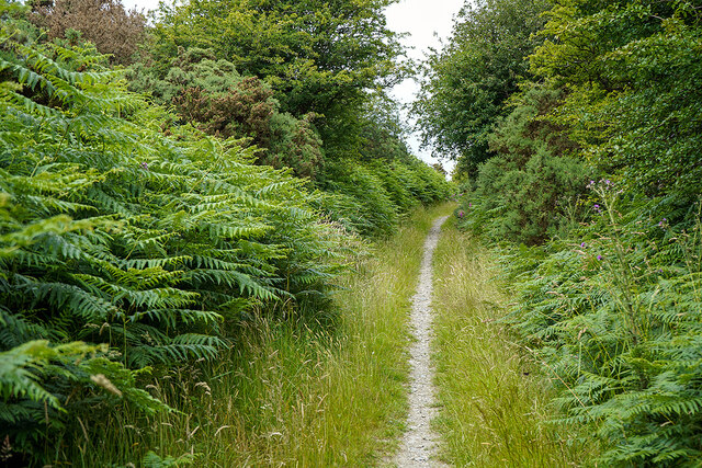
Caer Allt-gôch Images
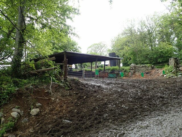
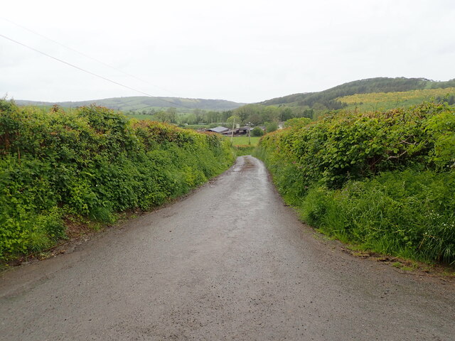
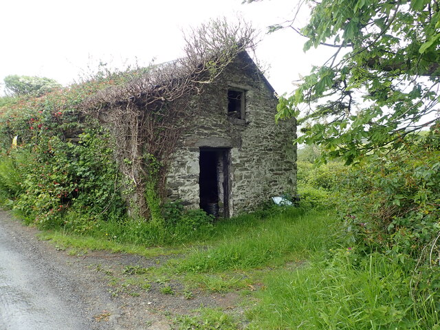
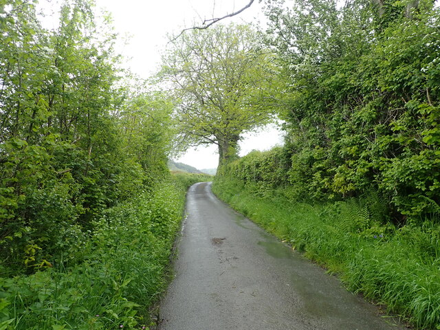
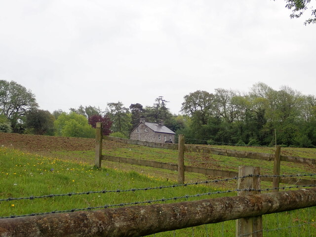
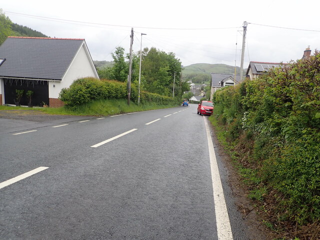
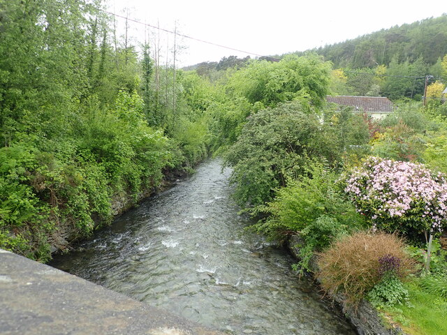
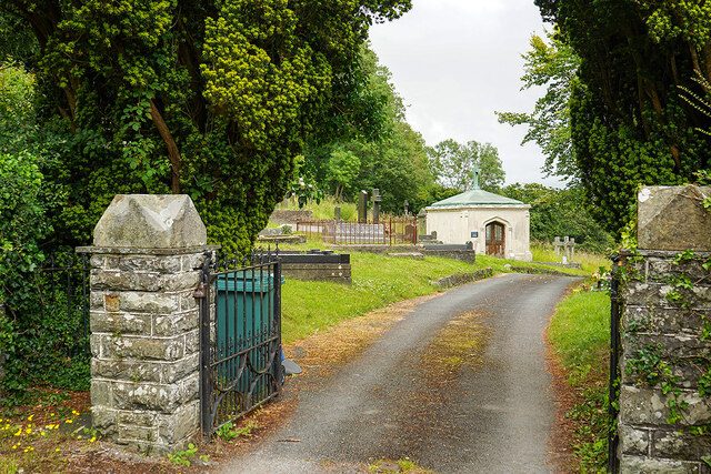
Images are sourced within 2km of 52.477/-4.01 or Grid Reference SN6388. Thanks to Geograph Open Source API. All images are credited.
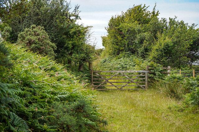

![Stile on the Borth to Devil's Bridge Trail By Llyn-ysgubor-wen [farm].](https://s2.geograph.org.uk/geophotos/07/34/05/7340538_a8ebaae8.jpg)
Caer Allt-gôch is located at Grid Ref: SN6388 (Lat: 52.477, Lng: -4.01)
Unitary Authority: Ceredigion
Police Authority: Dyfed Powys
What 3 Words
///token.sketch.adopters. Near Borth, Ceredigion
Nearby Locations
Related Wikis

Henllys, Ceredigion
Henllys, Ceredigion is a small village in the community of Genau'r-glyn, Ceredigion, Wales, which is 77.5 miles (124.8 km) from Cardiff and 178.5 miles...
Penybont, Ceredigion
Penybont is a small village in the community of Genau'r-glyn, Ceredigion, Wales, which is 77.6 miles (124.9 km) from Cardiff and 178.8 miles (287.7 km...

Dôl-y-bont
Dol-y-bont ("bridge meadow") is a village in Ceredigion, Wales; It lies near Borth, to the north of Llandre. Dôl is Welsh for "meadow", Pont is Welsh...
Taigwynion
Taigwynion is a hamlet 1 km ENE of Llandre in Ceredigion, Wales. It has 11 houses and a postcode of its own, SY24 5AG. == Toponymy == Taigwynion has no...

Llandre
Llandre, or Llanfihangel Genau'r Glyn, is a village in Ceredigion, Wales. It lies 5 miles north of Aberystwyth in the north-west of the county, on the...
Dol-gau
Dol-gau (or Dôl-gau) is a small village in the community of Tirymynach, Ceredigion, Wales, which is 76.4 miles (123 km) from Cardiff and 177.5 miles...
Ceulanamaesmawr
Ceulanamaesmawr is a community in Ceredigion, Wales, consisting of Tal-y-bont, Bont-goch and the surrounding area. The total population at the United...
Cynnull-mawr
Cynnull-mawr is a small village in the community of Ceulanamaesmawr, Ceredigion, Wales, which is 76.3 miles (122.8 km) from Cardiff and 176.9 miles (284...
Nearby Amenities
Located within 500m of 52.477,-4.01Have you been to Caer Allt-gôch?
Leave your review of Caer Allt-gôch below (or comments, questions and feedback).