Cae Camp
Heritage Site in Monmouthshire
Wales
Cae Camp
Cae Camp, located in Monmouthshire, Wales, is a significant heritage site that holds a rich historical significance. This ancient hillfort, dating back to the Iron Age, is truly a hidden gem for history enthusiasts and nature lovers alike.
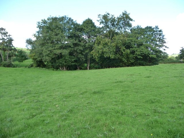
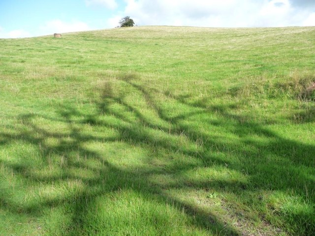
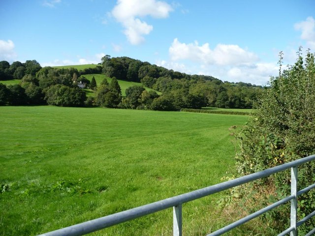
Nestled amidst the lush greenery of Monmouthshire's countryside, Cae Camp offers breathtaking views of the surrounding landscape. The site spans approximately 14 acres and is enclosed by well-preserved earthworks, consisting of multiple ramparts and ditches. These fortifications, built by our ancestors, are a testament to the defensive strategies employed during the Iron Age.
Archaeological excavations at Cae Camp have uncovered artifacts and structures that provide valuable insights into the lives of the people who once inhabited this hillfort. Remnants of roundhouses, storage pits, and hearths have been discovered, offering a glimpse into their daily activities and way of life.
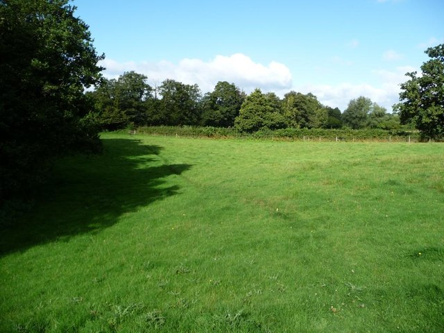
Visitors to Cae Camp can explore the site by following well-marked paths and interpretive panels that provide information about the history and significance of the hillfort. The site offers a peaceful and serene atmosphere, making it ideal for leisurely walks and picnics.
Cae Camp is managed and maintained by local authorities, ensuring its preservation for future generations. The site serves as an educational resource, offering visitors a chance to connect with Wales' ancient past and gain a deeper understanding of its cultural heritage.
Overall, Cae Camp stands as a remarkable testament to the ingenuity and resilience of our ancestors, and it continues to captivate visitors with its historical significance and natural beauty.
If you have any feedback on the listing, please let us know in the comments section below.
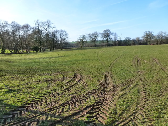
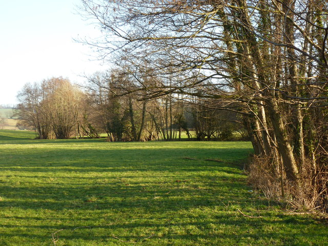
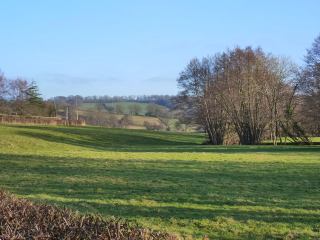
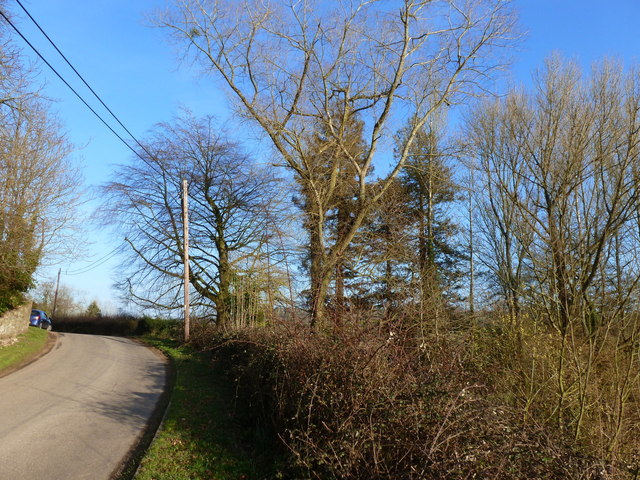
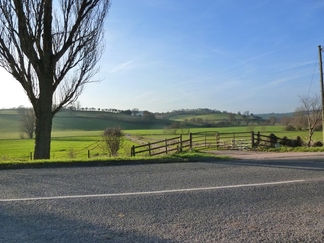
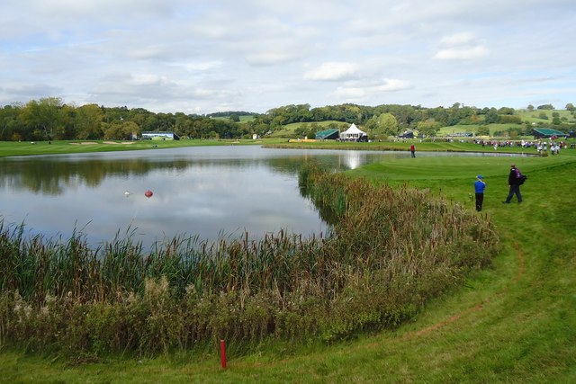
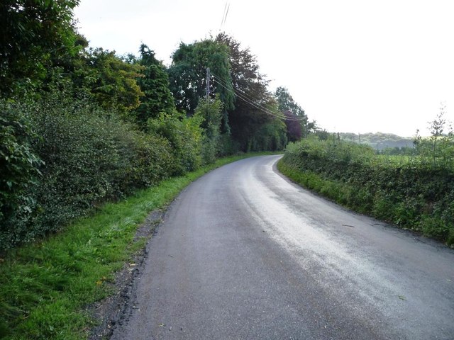
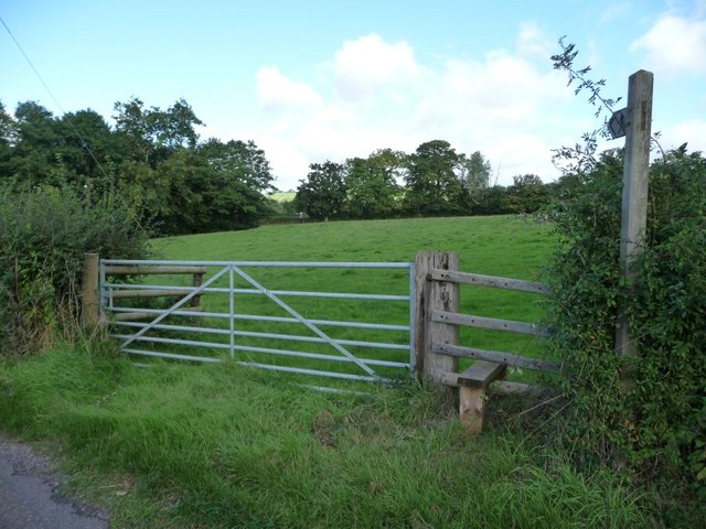
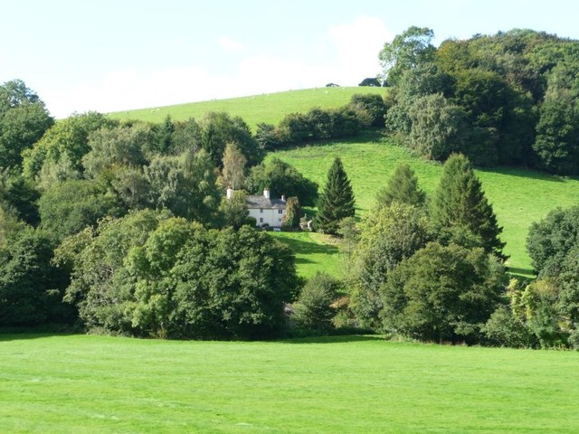
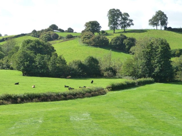
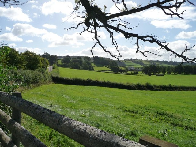
Cae Camp Images
Images are sourced within 2km of 51.637/-2.932 or Grid Reference ST3593. Thanks to Geograph Open Source API. All images are credited.


![Trees alongside Sor Brook Just downstream [south-east] of Pont Lan Sor.](https://s1.geograph.org.uk/geophotos/03/67/12/3671289_9e252293.jpg)
Cae Camp is located at Grid Ref: ST3593 (Lat: 51.637, Lng: -2.932)
Unitary Authority: Monmouthshire
Police Authority: Gwent
What 3 Words
///instructs.continued.cheering. Near Ponthir, Torfaen
Nearby Locations
Related Wikis

Llanhennock
Llanhennock (Welsh: Llanhenwg) is a village and former community, now in the community of Llangybi, in Monmouthshire, south east Wales, United Kingdom...

Berllan-deg, Llanhennock
Berllan-deg, Llanhennock, Monmouthshire is a country house dating from the mid-17th century. A rare survival of a remarkably unaltered hall house, Berllan...

Glen Usk, Llanhennock
Glen Usk, Llanhennock, Monmouthshire is a country house dating from 1820. It was built for Sir Digby Mackworth, Bt. in the Neoclassical style. The house...
Sôr Brook
The Sôr Brook is a right bank tributary of the River Usk running largely in Monmouthshire in south Wales, though the watercourse forms the boundary with...
Nearby Amenities
Located within 500m of 51.637,-2.932Have you been to Cae Camp?
Leave your review of Cae Camp below (or comments, questions and feedback).