Broch of Burland

Heritage Site in Shetland

Scotland

Broch of Burland

Setter, Gulberwick
Setter, Gulberwick Credit: Mike Pennington

The Broch of Burland is an ancient archaeological site located in Shetland, an archipelago in Scotland. This heritage site is a well-preserved example of an Iron Age broch, a type of circular stone tower that was commonly found in the Scottish Highlands and Islands.

The broch is situated on a small hill overlooking the Loch of Huxter, providing stunning panoramic views of the surrounding landscape. It is believed to have been constructed around 2000 years ago, during the Iron Age, and was used as a defensive structure and a symbol of wealth and power.

The Broch of Burland stands at an impressive height of approximately 9 meters, with walls that are up to 4 meters thick. The structure is made of local stone, carefully fitted together to create a solid and durable tower. The inside of the broch features several internal chambers and a central courtyard, which would have served various purposes such as living quarters and storage.

Excavations carried out in the 19th century revealed various artifacts, including pottery, tools, and animal bones, providing valuable insights into the daily life of the people who inhabited the broch. Today, visitors can explore the site and marvel at its impressive construction and historical significance.

The Broch of Burland is an important heritage site, not only for its architectural significance but also for the insights it provides into the Iron Age history of Shetland. It stands as a testament to the ingenuity and craftsmanship of the ancient people who built it, offering a glimpse into Scotland's rich and ancient past.

If you have any feedback on the listing, please let us know in the comments section below.

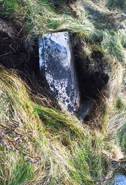
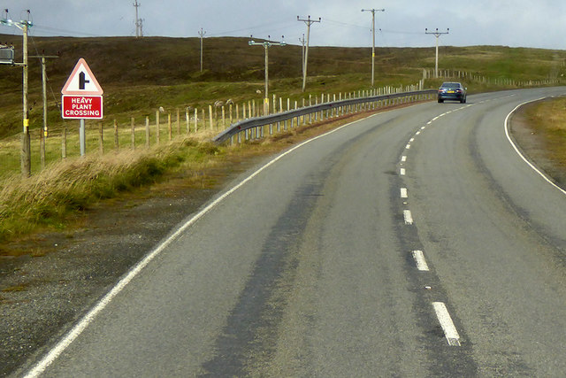
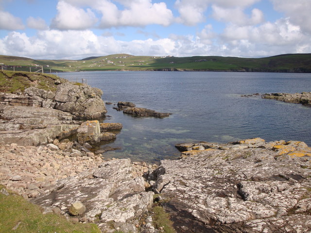
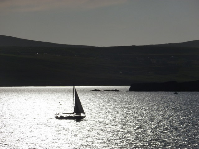
Broch of Burland Images

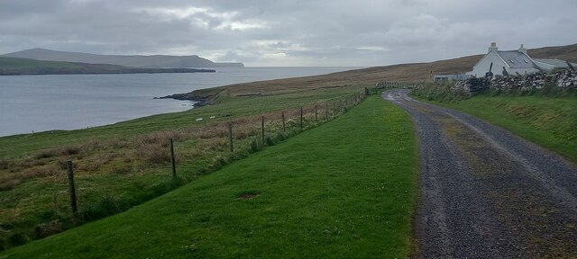
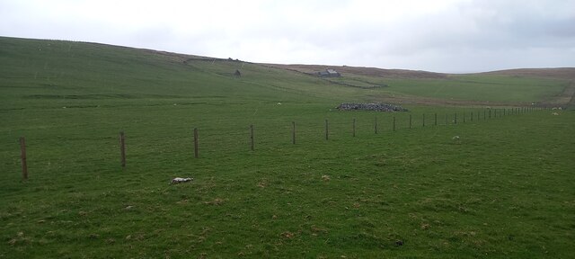
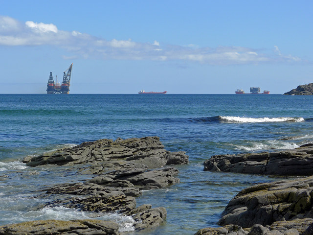
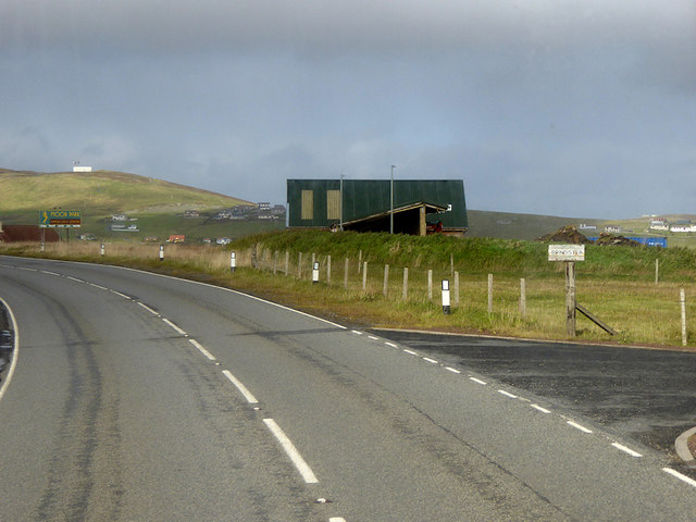
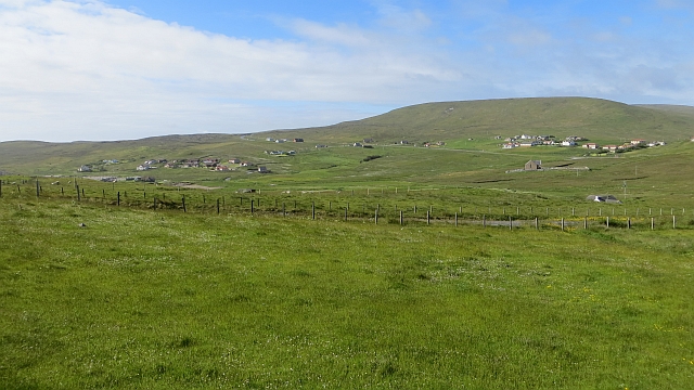
Images are sourced within 2km of 60.112/-1.198 or Grid Reference HU4436. Thanks to Geograph Open Source API. All images are credited.

Setter, Gulberwick
Setter, Gulberwick
Crogagarth, Brindister
House at East Brindister
Gulberwick from the air
Marine activity in Gulber Wick A reminder that despite the problems in the oil industry there is still activity in Shetland's waters.
Marine activity in Gulber Wick
A reminder that despite the problems in the oil industry there is still activity in Shetland's waters.
A970, Brindister The A970 runs for 71 miles across most of the length of the "Mainland" in the Shetland Islands. It is a good-quality single-carriageway road for most of its route. Travelling from south to north, the road begins at Grutness near Sumburgh Airport and winds around the many hills and inlets passing close to a number of small villages without going through any large ones before Lerwick. After looping around Lerwick, a short spur runs to Scalloway whilst the main route continues northwards towards Brae where it crosses the narrow isthmus of Mavis Grind. At Sandy Lochs the road splits and a four-mile spur goes through Urafirth to Hillswick. The main route continuing to the right towards its northern terminus at Isbister. This last part of the route tends to be narrower with passing places.

<span class="nowrap"><a title="https://www.sabre-roads.org.uk/wiki/index.php?title=A970" rel="nofollow ugc noopener" href="https://www.sabre-roads.org.uk/wiki/index.php?title=A970">Link</a><img style="margin-left:2px;" alt="External link" title="External link - shift click to open in new window" src="https://s1.geograph.org.uk/img/external.png" width="10" height="10"/></span>  SABRE
A970, Brindister
The A970 runs for 71 miles across most of the length of the "Mainland" in the Shetland Islands. It is a good-quality single-carriageway road for most of its route. Travelling from south to north, the road begins at Grutness near Sumburgh Airport and winds around the many hills and inlets passing close to a number of small villages without going through any large ones before Lerwick. After looping around Lerwick, a short spur runs to Scalloway whilst the main route continues northwards towards Brae where it crosses the narrow isthmus of Mavis Grind. At Sandy Lochs the road splits and a four-mile spur goes through Urafirth to Hillswick. The main route continuing to the right towards its northern terminus at Isbister. This last part of the route tends to be narrower with passing places. LinkExternal link SABRE
Bus to Sandwick Leasks of Lerwick Volvo B7RLE/Plaxton Centro (T50 JLS) on route number 6 towards Sandwick.
Bus to Sandwick
Leasks of Lerwick Volvo B7RLE/Plaxton Centro (T50 JLS) on route number 6 towards Sandwick.
A970 at Quarff The A970 runs for 71 miles across most of the length of the "Mainland" in the Shetland Islands. It is a good-quality single-carriageway road for most of its route. Travelling from south to north, the road begins at Grutness near Sumburgh Airport and winds around the many hills and inlets passing close to a number of small villages without going through any large ones before Lerwick. After looping around Lerwick, a short spur runs to Scalloway whilst the main route continues northwards towards Brae where it crosses the narrow isthmus of Mavis Grind. At Sandy Lochs the road splits and a four-mile spur goes through Urafirth to Hillswick. The main route continuing to the right towards its northern terminus at Isbister. This last part of the route tends to be narrower with passing places.

<span class="nowrap"><a title="https://www.sabre-roads.org.uk/wiki/index.php?title=A970" rel="nofollow ugc noopener" href="https://www.sabre-roads.org.uk/wiki/index.php?title=A970">Link</a><img style="margin-left:2px;" alt="External link" title="External link - shift click to open in new window" src="https://s1.geograph.org.uk/img/external.png" width="10" height="10"/></span>  SABRE
A970 at Quarff
The A970 runs for 71 miles across most of the length of the "Mainland" in the Shetland Islands. It is a good-quality single-carriageway road for most of its route. Travelling from south to north, the road begins at Grutness near Sumburgh Airport and winds around the many hills and inlets passing close to a number of small villages without going through any large ones before Lerwick. After looping around Lerwick, a short spur runs to Scalloway whilst the main route continues northwards towards Brae where it crosses the narrow isthmus of Mavis Grind. At Sandy Lochs the road splits and a four-mile spur goes through Urafirth to Hillswick. The main route continuing to the right towards its northern terminus at Isbister. This last part of the route tends to be narrower with passing places. LinkExternal link SABRE
Old Milestone by old A970, Loch of Brindister, Lerwick Parish Shetland concrete by the Old A970, in parish of Lerwick (Mainland District), Loch of Brindister, on old road.

Surveyed

Milestone Society National ID: SH_LWSB06
Old Milestone by old A970, Loch of Brindister, Lerwick Parish
Shetland concrete by the Old A970, in parish of Lerwick (Mainland District), Loch of Brindister, on old road. Surveyed Milestone Society National ID: SH_LWSB06
A970 towards Lerwick The A970 runs for 71 miles across most of the length of the "Mainland" in the Shetland Islands. It is a good-quality single-carriageway road for most of its route. Travelling from south to north, the road begins at Grutness near Sumburgh Airport and winds around the many hills and inlets passing close to a number of small villages without going through any large ones before Lerwick. After looping around Lerwick, a short spur runs to Scalloway whilst the main route continues northwards towards Brae where it crosses the narrow isthmus of Mavis Grind. At Sandy Lochs the road splits and a four-mile spur goes through Urafirth to Hillswick. The main route continuing to the right towards its northern terminus at Isbister. This last part of the route tends to be narrower with passing places.

<span class="nowrap"><a title="https://www.sabre-roads.org.uk/wiki/index.php?title=A970" rel="nofollow ugc noopener" href="https://www.sabre-roads.org.uk/wiki/index.php?title=A970">Link</a><img style="margin-left:2px;" alt="External link" title="External link - shift click to open in new window" src="https://s1.geograph.org.uk/img/external.png" width="10" height="10"/></span>  SABRE
A970 towards Lerwick
The A970 runs for 71 miles across most of the length of the "Mainland" in the Shetland Islands. It is a good-quality single-carriageway road for most of its route. Travelling from south to north, the road begins at Grutness near Sumburgh Airport and winds around the many hills and inlets passing close to a number of small villages without going through any large ones before Lerwick. After looping around Lerwick, a short spur runs to Scalloway whilst the main route continues northwards towards Brae where it crosses the narrow isthmus of Mavis Grind. At Sandy Lochs the road splits and a four-mile spur goes through Urafirth to Hillswick. The main route continuing to the right towards its northern terminus at Isbister. This last part of the route tends to be narrower with passing places. LinkExternal link SABRE
The bay of Gulber Wick from Lyoonigeo A lovely rocky stretch of coast at Setter.
The bay of Gulber Wick from Lyoonigeo
A lovely rocky stretch of coast at Setter.
Gulberwick: a yacht passes Punds Stack A yacht travels northbound past Punds Stack as we look into the evening sun towards it.
Gulberwick: a yacht passes Punds Stack
A yacht travels northbound past Punds Stack as we look into the evening sun towards it.
Quarff: view from the Aberdeen ferry Looking across the Shetland mainland at 7am as the ferry approaches Lerwick, along the Quarff valley. The crane vessel, Thialf, moored in the foreground is apparently the largest such vessel in the world.
Quarff: view from the Aberdeen ferry
Looking across the Shetland mainland at 7am as the ferry approaches Lerwick, along the Quarff valley. The crane vessel, Thialf, moored in the foreground is apparently the largest such vessel in the world.
Moor Park Family Golf Centre Distances marked on the driving range.
Moor Park Family Golf Centre
Distances marked on the driving range.
Easter Quarff Grassland at the eastern end of the Quarff Gap.
Easter Quarff
Grassland at the eastern end of the Quarff Gap.
Silt catcher, Brindister A reservoir which allows particles to precipitate out of water draining the Brindister Quarry.
Silt catcher, Brindister
A reservoir which allows particles to precipitate out of water draining the Brindister Quarry.
Track on the Ness of Trebister A farm access track that runs along the spine of the point.
Track on the Ness of Trebister
A farm access track that runs along the spine of the point.
Coastline west of the Ness of Trebister
Show me another place!

Broch of Burland is located at Grid Ref: HU4436 (Lat: 60.112, Lng: -1.198)

Unitary Authority: Shetland Islands

Police Authority: Highlands and Islands

What 3 Words

///hush.pirate.finer. Near Scalloway, Shetland Islands

Related Wikis

Brindister, South Mainland

Brindister is a village on South Mainland in Shetland, Scotland. Brindister is within the parish of Lerwick, and adjacent to the A970 south of Gulberwick...

Gulberwick

Gulberwick is a village on Mainland, 2.5 mi (4 km) southwest of Lerwick, Shetland, Scotland, which contains approximately 200 houses. In recent years the...

Quarff

Quarff is a small village on Mainland in the Shetland Islands in Scotland. It is located on the main A970 road, 5 miles (8.0 km) south of Shetland's only...

Lerwick Observatory

Lerwick Observatory (also known as Lerwick Magnetic Observatory) is a British meteorological observatory located near the port at Lerwick, Shetland Islands...

Have you been to Broch of Burland?

Leave your review of Broch of Burland below (or comments, questions and feedback).