Brent Ditch

Heritage Site in Cambridgeshire South Cambridgeshire

England

Brent Ditch

Great Abington, St Mary <span class="nowrap"><a title="http://www.druidic.org/camchurch/churches/gtabington.htm" rel="nofollow ugc noopener" href="http://www.druidic.org/camchurch/churches/gtabington.htm">Link</a><img style="margin-left:2px;" alt="External link" title="External link - shift click to open in new window" src="https://s1.geograph.org.uk/img/external.png" width="10" height="10"/></span>
Great Abington, St Mary Credit: mym

Brent Ditch, located in Cambridgeshire, England, is a historically significant heritage site that holds immense cultural and archaeological importance. This ancient earthwork stretches across the landscape for approximately 10 kilometers, showcasing a remarkable engineering feat of the past.

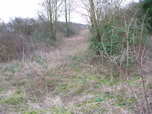
Believed to have been constructed during the Iron Age, Brent Ditch is a linear bank and ditch system that was designed as a defensive fortification. The ditch itself was likely excavated by hand, creating a substantial earthwork measuring around 10 meters wide and 2 meters deep. The accompanying bank, created from the excavated soil, stands at an impressive height of around 4 meters. Together, the bank and ditch form an imposing barrier that would have deterred potential invaders and protected the settlement within.

The heritage site has undergone extensive archaeological investigations, revealing evidence of human occupation in the area dating back to the Neolithic period. Excavations have uncovered pottery fragments, flint tools, and animal remains, providing valuable insights into the lives and activities of the people who once inhabited this region.

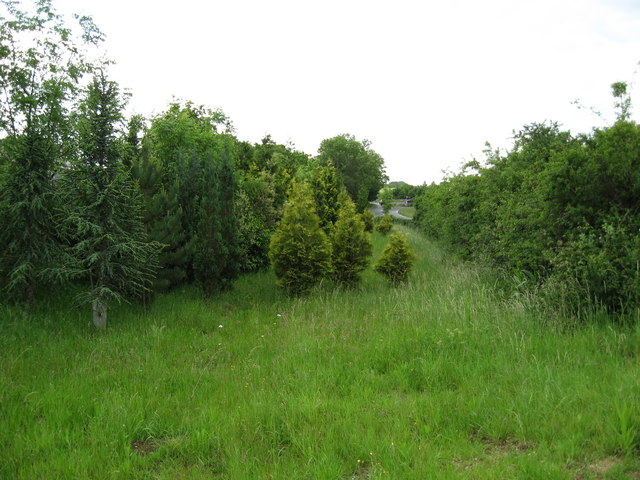
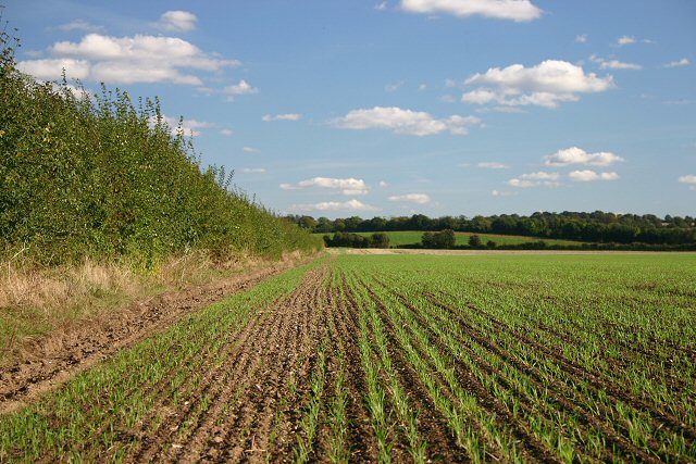
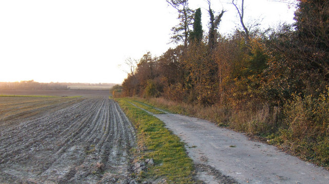
Brent Ditch is not only a testament to the engineering skills and defensive strategies of the Iron Age people but also a visual reminder of the rich history that has unfolded in Cambridgeshire. Today, the site attracts visitors and history enthusiasts who can explore the earthwork by following a designated footpath. This allows them to appreciate the scale and significance of this ancient monument, providing a tangible connection to the past.

If you have any feedback on the listing, please let us know in the comments section below.
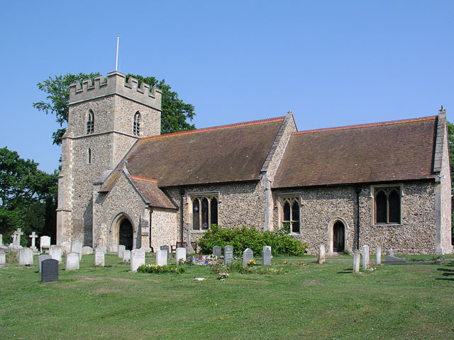
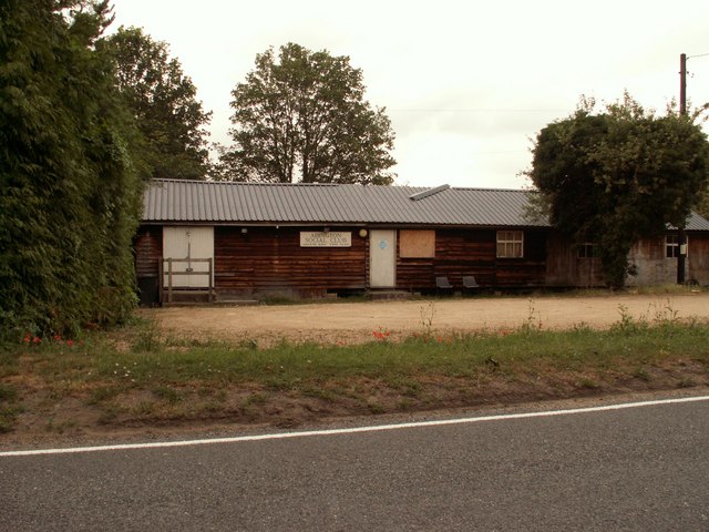
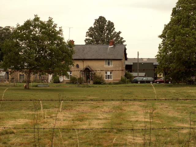
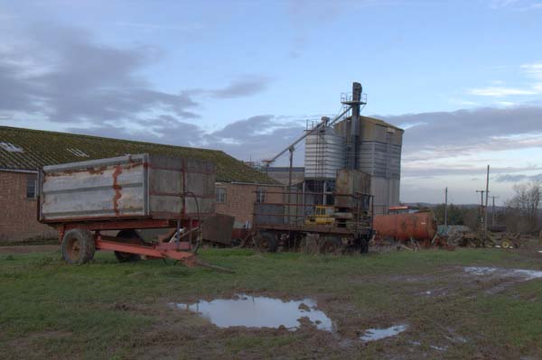
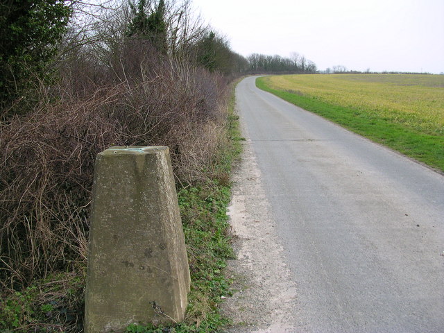
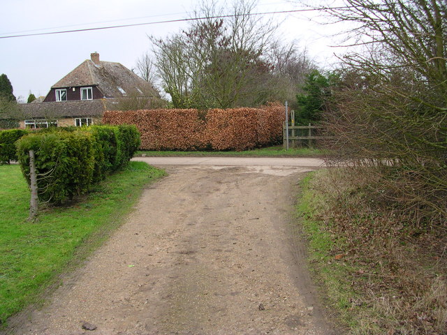
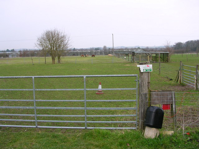
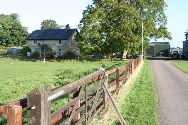
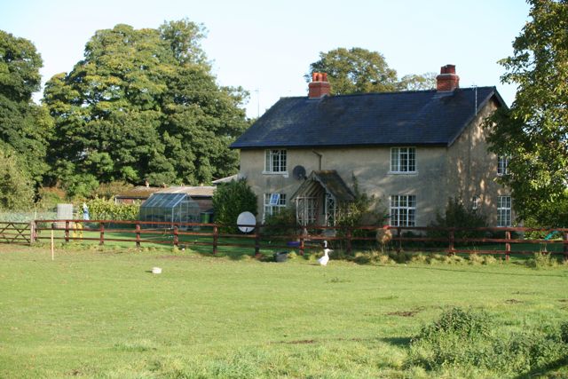
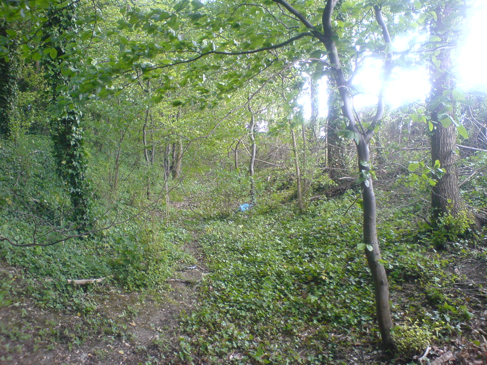
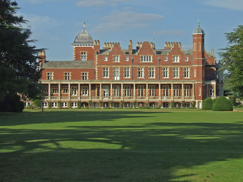
Brent Ditch Images

Images are sourced within 2km of 52.105/0.212 or Grid Reference TL5147. Thanks to Geograph Open Source API. All images are credited.

Great Abington, St Mary <span class="nowrap"><a title="http://www.druidic.org/camchurch/churches/gtabington.htm" rel="nofollow ugc noopener" href="http://www.druidic.org/camchurch/churches/gtabington.htm">Link</a><img style="margin-left:2px;" alt="External link" title="External link - shift click to open in new window" src="https://s1.geograph.org.uk/img/external.png" width="10" height="10"/></span>
Great Abington, St Mary
Little Abington, St Mary <span class="nowrap"><a title="http://www.druidic.org/camchurch/churches/ltabington.htm" rel="nofollow ugc noopener" href="http://www.druidic.org/camchurch/churches/ltabington.htm">Link</a><img style="margin-left:2px;" alt="External link" title="External link - shift click to open in new window" src="https://s1.geograph.org.uk/img/external.png" width="10" height="10"/></span>
Little Abington, St Mary
Abington Social Club, Great Abington, Cambs.
College Farm, Pampisford, Cambridgeshire
Farm buildings and machinery, Abington Park Farm
Now I'm found
Now I'm found
Cross path coming from Brent Ditch Looked just like a ditch in America.
Cross path coming from Brent Ditch
Looked just like a ditch in America.
Caravan parking and lodging for ponies.
Dismantled railway
Dismantled railway
Course of old railway Course of the old Cambridge to Haverhill railway line (part of the 'Stour Valley Line') near Pampisford. The site of Pampisford station is now lost under the widened A11 trunk road.
Course of old railway
Course of the old Cambridge to Haverhill railway line (part of the 'Stour Valley Line') near Pampisford. The site of Pampisford station is now lost under the widened A11 trunk road.
Field at Pampisford A farm track runs along the left side of the hedgerow, leading to farmland between the A505 and the A11.
Field at Pampisford
A farm track runs along the left side of the hedgerow, leading to farmland between the A505 and the A11.
Track and ploughed field South of Hinxton Grange at sunset.
Track and ploughed field
South of Hinxton Grange at sunset.
Chalky Road The original road is the overgrown holloway at the left; the modern path continues across the disused railway cutting and down to the village.
Chalky Road
The original road is the overgrown holloway at the left; the modern path continues across the disused railway cutting and down to the village.
Cutting House An imaginative adaptation of the old-style "crossing, no gates" road sign for a modern house built on the site of the disused rail cutting.
Cutting House
An imaginative adaptation of the old-style "crossing, no gates" road sign for a modern house built on the site of the disused rail cutting.
Detail of thatched cottage An intriguing mixture of brick and stone reused in the wall of this timbered house in the High Street.
Detail of thatched cottage
An intriguing mixture of brick and stone reused in the wall of this timbered house in the High Street.
Abandoned railway cutting The old Cambridge-Haverhill line seen from the Chalky Road crossing.
Abandoned railway cutting
The old Cambridge-Haverhill line seen from the Chalky Road crossing.
College Farm
College Farm
College Farm
College Farm
Show me another place!

Brent Ditch is located at Grid Ref: TL5147 (Lat: 52.105, Lng: 0.212)

Administrative County: Cambridgeshire

District: South Cambridgeshire

Police Authority: Cambridgeshire

What 3 Words

///roughness.back.dame. Near Sawston, Cambridgeshire

Related Wikis

Brent Ditch

Brent Ditch is generally assumed to be an Anglo-Saxon earthwork in Southern Cambridgeshire, England, built around the 6th and 7th centuries AD. However...

Pampisford Hall

Pampisford Hall is a country house designed by George Goldie in the civil parish of Pampisford in the English county of Cambridgeshire. It became a Grade...

Pampisford railway station

Pampisford railway station is a former British railway station in Pampisford, Cambridgeshire. It was on the Stour Valley Railway from 1865 to its closure...

Bourne Bridge railway station

Bourne Bridge railway station served Little Abington, Great Abington, Pampisford and Babraham in Cambridgeshire. It was closed in 1851, along with its...

Granta Park

Granta Park is a science, technology and biopharmaceutical park based on the bank of the River Granta in Great Abington near Cambridge, England. The idea...

Hanley Grange

Hanley Grange is the name given to an eco-town planned for land north of Hinxton in South Cambridgeshire. Initial proposals for 8,000 homes rising to...

The Abingtons, Cambridgeshire

The Abingtons are a community in South Cambridgeshire consisting of two small villages: Little Abington and Great Abington, about 7 miles (11 km) south...

Babraham

Babraham is a village and civil parish in the South Cambridgeshire district of Cambridgeshire, England, about 6 miles (9.7 km) south-east of Cambridge...

Nearby Amenities

Located within 500m of 52.105,0.212
Bus Stop
South Road D
Naptan AtcoCode: 0500SGREA006
Naptan Bearing: NW
Naptan BusStopType: CUS
Naptan CommonName: South Road D
Naptan Indicator: o/s No 25
Naptan Landmark: South Road
Naptan NaptanCode: cmbdwmat
Naptan ShortCommonName: South Road D
Naptan Street: South Road
Naptan Verified: no
Source: naptan_import
Lat/Long: 52.1043965/0.2190024
Bus Stop
South Road E
Naptan AtcoCode: 0500SGREA008
Naptan Bearing: SE
Naptan BusStopType: CUS
Naptan CommonName: South Road E
Naptan Indicator: o/s 32
Naptan Landmark: South Road
Naptan NaptanCode: cmbdwmda
Naptan ShortCommonName: South Road E
Naptan Street: South Road
Naptan Verified: no
Source: naptan_import
Lat/Long: 52.1060695/0.2151571
Bus Stop
South Road E
Naptan AtcoCode: 0500SGREA009
Naptan Bearing: NW
Naptan BusStopType: CUS
Naptan CommonName: South Road E
Naptan Indicator: opp No 32
Naptan Landmark: South Road
Naptan NaptanCode: cmbdwmdg
Naptan ShortCommonName: South Road E
Naptan Street: South Road
Naptan Verified: no
Source: naptan_import
Lat/Long: 52.106033/0.2151845
Bus Stop
South Road D
Naptan AtcoCode: 0500SGREA012
Naptan Bearing: SE
Naptan BusStopType: CUS
Naptan CommonName: South Road D
Naptan Indicator: opp No 25
Naptan Landmark: South Road
Naptan NaptanCode: cmbdwmdp
Naptan ShortCommonName: South Road D
Naptan Street: South Road
Naptan Verified: no
Source: naptan_import
Lat/Long: 52.1044316/0.2190479
Power: pole
Lat/Long: 52.1025291/0.2144319
Power: pole
Lat/Long: 52.1034163/0.2147202
Abington Farm Settlement
Place: locality
Lat/Long: 52.1062751/0.2189336
The data included in this document is from www.openstreetmap.org. The data is made available under ODbL.

Have you been to Brent Ditch?

Leave your review of Brent Ditch below (or comments, questions and feedback).