Bremetennacvm

Heritage Site in Lancashire Ribble Valley

England

Bremetennacvm

On the Ribble Way descending east from Red Bank near Ribchester
On the Ribble Way descending east from Red Bank near Ribchester Credit: Colin Park

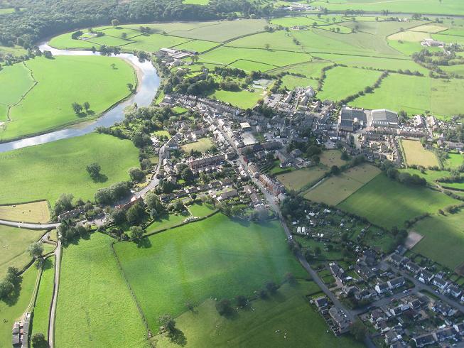
Bremetennacvm, located in Lancashire, England, is a historical site of significant heritage value. The site holds remnants of an ancient Roman fort, which was established around AD 79 during the Roman occupation of Britain. The name "Bremetennacvm" originates from the Celtic language and is believed to mean "the dwelling on the hill."

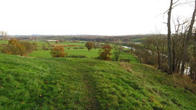
The fort was strategically positioned on a hilltop, providing a commanding view of the surrounding area. It covered an area of approximately 3.5 acres and was fortified with walls and defensive ditches. The fort served as a military base for the Romans, housing a garrison of soldiers tasked with maintaining control over the region.

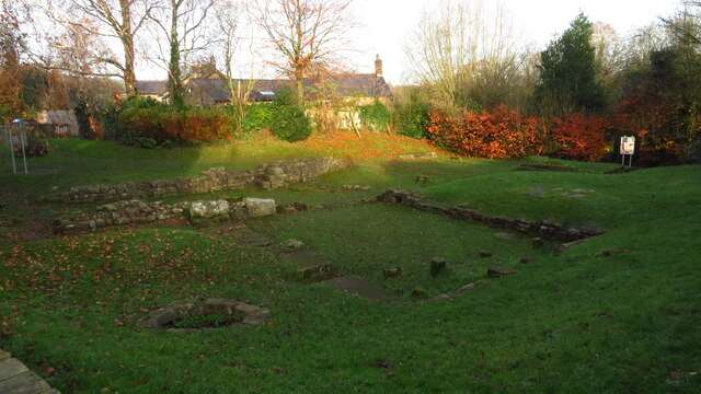
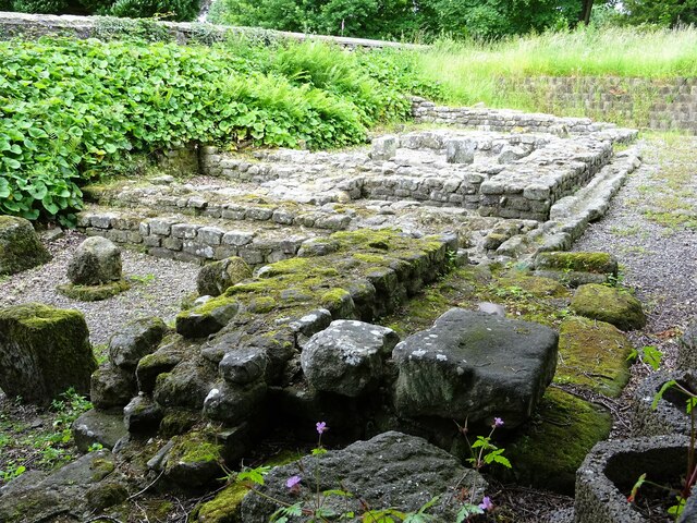
Excavations at Bremetennacvm have revealed a wealth of artifacts, including pottery, coins, and weaponry, offering valuable insights into the daily lives and activities of the Roman occupants. The remains of a bathhouse have also been unearthed, showcasing the Romans' advanced engineering and hygienic practices.

Visitors to Bremetennacvm can explore the site and observe the foundations of the fort's buildings, including the barrack blocks, granaries, and headquarters. Information boards provide historical context and interpretation of the site, allowing visitors to better understand the Roman presence in Lancashire.

Bremetennacvm is not only a testament to Lancashire's Roman past but also serves as a valuable educational resource and tourist attraction. It offers a unique opportunity to step back in time and experience firsthand the legacy of the Roman Empire in this region of England.

If you have any feedback on the listing, please let us know in the comments section below.

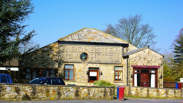
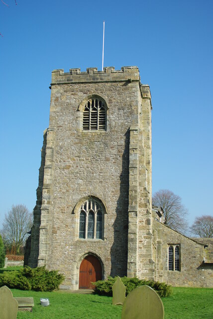
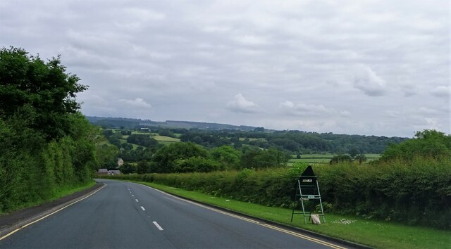
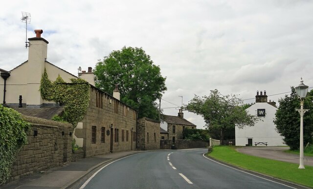
Bremetennacvm Images

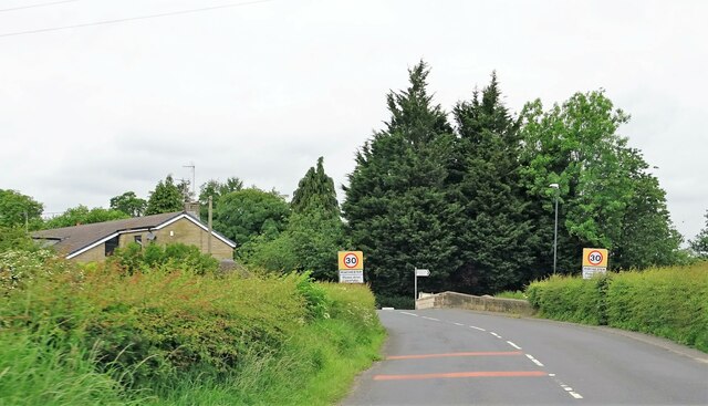
Images are sourced within 2km of 53.805/-2.538 or Grid Reference SD6434. Thanks to Geograph Open Source API. All images are credited.

On the Ribble Way descending east from Red Bank near Ribchester
Ribchester - St Wilfrid's Church
Ribchester - Roman Bath House
White Bull Hotel With its porch supported by its Roman Tuscan columns reportedly
White Bull Hotel
With its porch supported by its Roman Tuscan columns reportedly
New Hotel, Blackburn Road Appears to have been the former barn to Stone House, converted to a hotel and now residential
New Hotel, Blackburn Road
Appears to have been the former barn to Stone House, converted to a hotel and now residential
St Wilfrid's Church The west tower
St Wilfrid's Church
The west tower
Ribchester Road Approaching Ribchester Bridge which crosses the River Ribble.
Ribchester Road
Approaching Ribchester Bridge which crosses the River Ribble.
Little Town On Blackburn Road east of Ribchester.
Little Town
On Blackburn Road east of Ribchester.
Entering Ribchester Stone Bridge carries the road over three brooks - Stydd, Duddel and Boyce's - which confluence metres to the north, and the combined stream then empties into the River Ribble a few metres to the south.
Entering Ribchester
Stone Bridge carries the road over three brooks - Stydd, Duddel and Boyce's - which confluence metres to the north, and the combined stream then empties into the River Ribble a few metres to the south.
The Granaries, Ribchester Roman remains behind St. Wilfrid's church. The granary here (or horreum in Latin) were over 100 feet long and stored grain for use by the Roman Garrison.
The Granaries, Ribchester
Roman remains behind St. Wilfrid's church. The granary here (or horreum in Latin) were over 100 feet long and stored grain for use by the Roman Garrison.
St. Wilfrid's church The projection with the arched window is the Dutton Choir. Originally one of the Lady Chapels, it was erected in the 14th century and contains a medieval wall painting depicting St. Christopher carrying Christ.
St. Wilfrid's church
The projection with the arched window is the Dutton Choir. Originally one of the Lady Chapels, it was erected in the 14th century and contains a medieval wall painting depicting St. Christopher carrying Christ.
Bee on a cranesbill In St. Wilfrid's churchyard.
Bee on a cranesbill
In St. Wilfrid's churchyard.
Pulpit in St. Wilfrid's church Built in 1636 the pulpit bears the initials of the then Rector, Christopher Hindle. The lectern was dedicated in 1993.
Pulpit in St. Wilfrid's church
Built in 1636 the pulpit bears the initials of the then Rector, Christopher Hindle. The lectern was dedicated in 1993.
Road by the river On the bank of the Ribble.
Road by the river
On the bank of the Ribble.
Well trodden stone steps Outside 62, Church Street in Ribchester. The house was built in 1798 and is Grade II listed.
Well trodden stone steps
Outside 62, Church Street in Ribchester. The house was built in 1798 and is Grade II listed.
White doves The colony nests around the R.C. church of Ss. Peter and Paul in Stydd.
White doves
The colony nests around the R.C. church of Ss. Peter and Paul in Stydd.
The church of St. Saviour Dating from the late 12th century, the church is Grade I listed.
The church of St. Saviour
Dating from the late 12th century, the church is Grade I listed.
Footbridge in the fields The bridge crosses Stydd Brook.
Footbridge in the fields
The bridge crosses Stydd Brook.
Show me another place!

Bremetennacvm is located at Grid Ref: SD6434 (Lat: 53.805, Lng: -2.538)

Administrative County: Lancashire

District: Ribble Valley

Police Authority: Lancashire

What 3 Words

///custard.jugs.kingpin. Near Longridge, Lancashire

Related Wikis

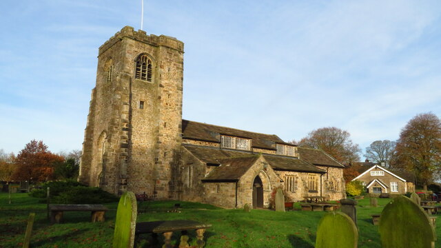
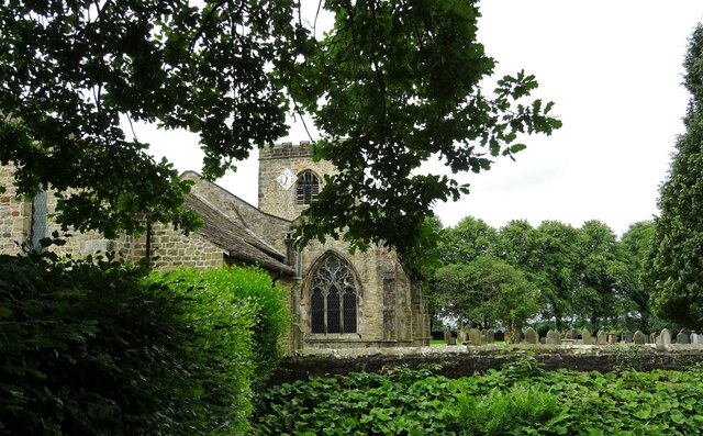
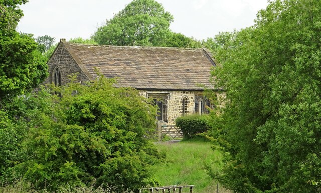
St Wilfrid's Church, Ribchester

St Wilfrid's Church is an Anglican church in the village of Ribchester in Lancashire, England that is situated close to the site of a Roman fort. It is...

Ribchester Roman Museum

Ribchester Roman Museum (officially the Ribchester Roman Museum of Roman Antiquities) is located in the village of Ribchester, Lancashire, England. It...

Bremetennacum

Bremetennacum, ([brɛmɛˈteːnːakʊm]), or Bremetennacum Veteranorum, was a Roman fort on the site of the present day village of Ribchester in Lancashire,...

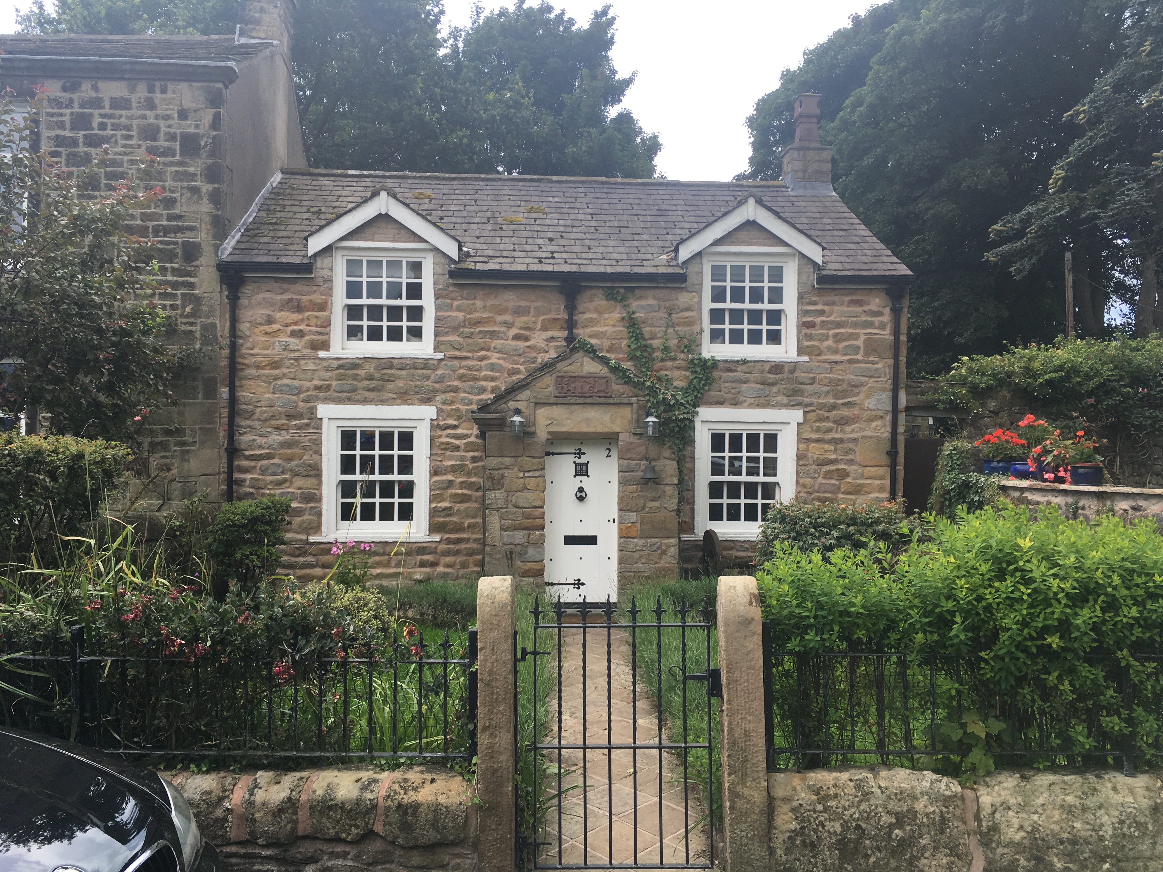
2 Church Street, Ribchester

2 Church Street is a building in Ribchester, Lancashire, England. The property dates to at least the 19th century, and in the 1970s it was discovered that...
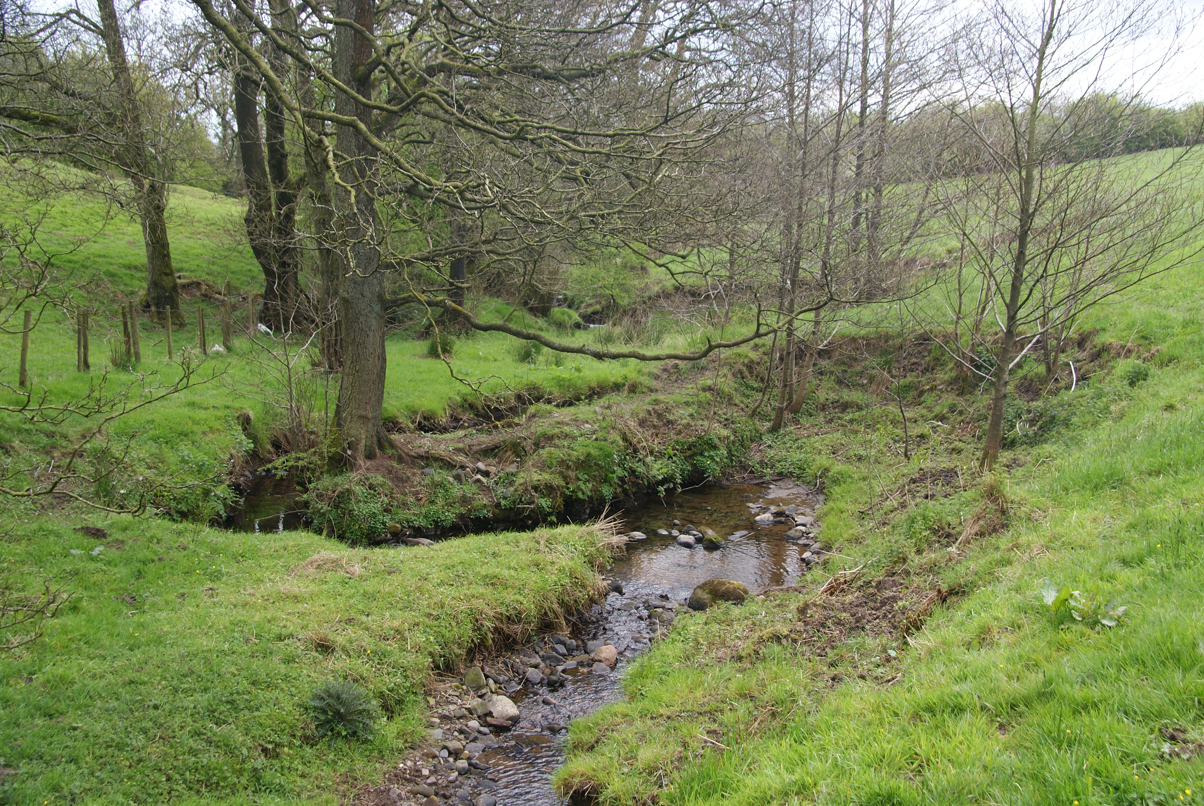
Stydd Brook

Stydd Brook is a watercourse in Lancashire, England. Rising on Gannow Fell, south west of the Forest of Bowland, the river flows southward, meeting the...

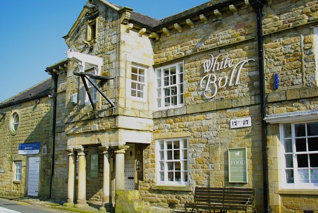
The White Bull, Ribchester

The White Bull (also known as the White Bull Inn) is a public house and inn on Church Street (formerly one of the Roman Watling Streets) in the English...

Ribchester

Ribchester () is a village and civil parish within the Ribble Valley district of Lancashire, England. It lies on the banks of the River Ribble, six miles...

8 Blackburn Road

8 Blackburn Road is a building in the English village of Ribchester, Lancashire. Standing at the junction of Blackburn Road and Ribblesdale Road, it dates...

Nearby Amenities

Located within 500m of 53.805,-2.538
Power: tower
Source: Bing
Lat/Long: 53.8064802/-2.5309334
Power: tower
Source: Bing
Lat/Long: 53.8078613/-2.5388513
Power: tower
Source: Bing
Lat/Long: 53.8071771/-2.5347958
Fixme: stile, gate or entrance
Lat/Long: 53.8087848/-2.5367554
Fixme: stile, gate or entrance
Lat/Long: 53.8070755/-2.5427922
The data included in this document is from www.openstreetmap.org. The data is made available under ODbL.

Have you been to Bremetennacvm ?

Leave your review of Bremetennacvm below (or comments, questions and feedback).