Brandon Camp

Heritage Site in Herefordshire

England

Brandon Camp

Walford The northernmost of Herefordshire's two Walfords. Looking along the Ludlow - Knighton road towards the crossroads.
Walford Credit: Richard Webb

Located in the county of Herefordshire, England, Brandon Camp is a historically significant heritage site that holds great cultural and archaeological importance. Situated near the village of Ullingswick, this site is nestled amidst picturesque countryside, providing a serene and captivating ambiance for visitors.

The origins of Brandon Camp can be traced back to the Iron Age, with evidence suggesting human activity as early as 500 BC. The site encompasses an extensive area of approximately 20 hectares, consisting of earthworks, ditches, and ramparts. These fortifications were likely constructed for defensive purposes, offering protection to its inhabitants during periods of conflict and unrest.

The main feature of Brandon Camp is a large circular enclosure, measuring about 150 meters in diameter. The earthworks surrounding the enclosure are particularly impressive, with well-preserved banks and ditches that indicate the defensive nature of this ancient settlement. The site's strategic location on a hilltop further enhances its defensive capabilities, providing clear views of the surrounding landscape.

Numerous archaeological excavations have taken place at Brandon Camp over the years, unearthing a wealth of artifacts such as pottery, tools, and animal remains. These findings have shed light on the daily lives and activities of the Iron Age inhabitants, offering valuable insights into their social, economic, and cultural practices.

Today, Brandon Camp stands as a testament to the rich history of Herefordshire, attracting history enthusiasts, archaeologists, and nature lovers alike. The site offers visitors an opportunity to explore the ancient earthworks, appreciate the stunning landscape, and immerse themselves in the fascinating stories of the past.

If you have any feedback on the listing, please let us know in the comments section below.

Brandon Camp Images

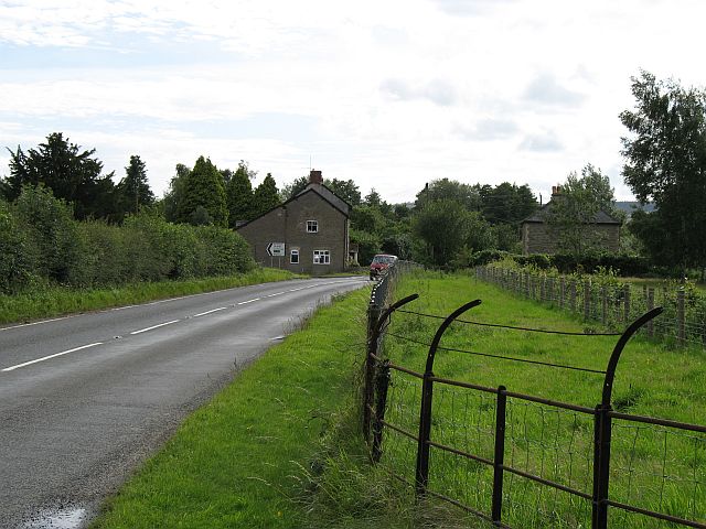
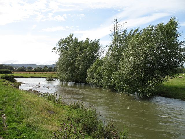
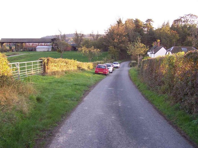
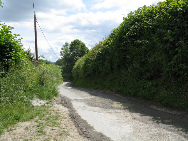
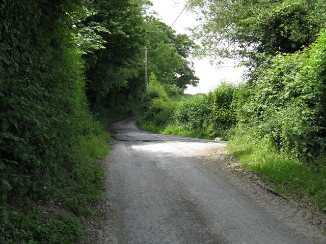
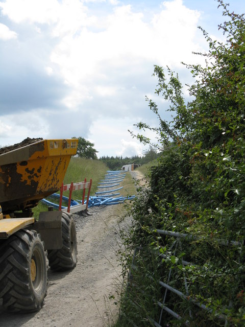
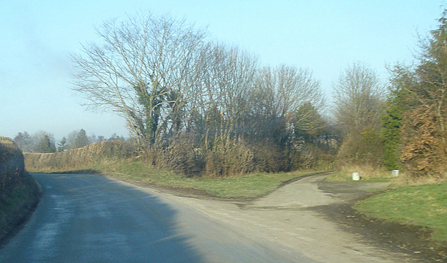
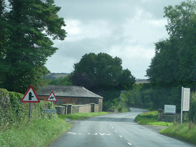
Images are sourced within 2km of 52.347/-2.873 or Grid Reference SO4072. Thanks to Geograph Open Source API. All images are credited.

Walford The northernmost of Herefordshire's two Walfords. Looking along the Ludlow - Knighton road towards the crossroads.
Walford
The northernmost of Herefordshire's two Walfords. Looking along the Ludlow - Knighton road towards the crossroads.
River Teme This river flooded disastrously twice in the 2007 Summer. Still feeding a lot of water into the Severn system. Just upstream of Leintwardine and its confluence with the Clun.
River Teme
This river flooded disastrously twice in the 2007 Summer. Still feeding a lot of water into the Severn system. Just upstream of Leintwardine and its confluence with the Clun.
Lower House
Lower House
Cattle drink Fenced off to stop them fording the Teme. (A problem downstream as well - many memories of long trips to retrieve wandering cattle and chest deep wades driving them home)
Cattle drink
Fenced off to stop them fording the Teme. (A problem downstream as well - many memories of long trips to retrieve wandering cattle and chest deep wades driving them home)
Down the lane
Down the lane
Junction for Lower House lane
Men at Work Burly gentlemen were digging trenches and laying pipe on this track.
Men at Work
Burly gentlemen were digging trenches and laying pipe on this track.
Outskirts of Walford View north-east. The fork to the right leads to the housing just visible through the trees.
Outskirts of Walford
View north-east. The fork to the right leads to the housing just visible through the trees.
Approaching Walford
Approaching Walford
A4113 approaching Leintwardine
Teme Valley sunset Sunset along the Teme Valley and behind the Shropshire Hills above Bedstone and Bucknell, April 16th 2010.
Teme Valley sunset
Sunset along the Teme Valley and behind the Shropshire Hills above Bedstone and Bucknell, April 16th 2010.
River Clun The River Clun is a river in Shropshire, which runs through Clun, as well as Newcastle-on-Clun. It meets the River Teme at Leintwardine.
The source of the River Clun is between the hamlet of Anchor and Bettws Hill Wood, very close to the Welsh border. The Clun Valley is rural and is part of the Shropshire Hills AONB.
River Clun
The River Clun is a river in Shropshire, which runs through Clun, as well as Newcastle-on-Clun. It meets the River Teme at Leintwardine. The source of the River Clun is between the hamlet of Anchor and Bettws Hill Wood, very close to the Welsh border. The Clun Valley is rural and is part of the Shropshire Hills AONB.
Ditch by the River Clun
Rough grassland by the River Clun
Herefordshire Way crosses Pember's Ditch The Herefordshire Way (Herefordshire Trail) is a 150 mile long circular route around the county. It links the five market towns of Leominster, Bromyard, Ledbury, Ross-on-Wye and Kington. A varied route including the Malvern Hills and Black Mountains along with apple orchards and farmland. It is signed using an apple tree on a white disk.
Map of the route can be seen at <span class="nowrap"><a title="http://www.herefordshiretrail.com/routes_info.aspx" rel="nofollow ugc noopener" href="http://www.herefordshiretrail.com/routes_info.aspx">Link</a><img style="margin-left:2px;" alt="External link" title="External link - shift click to open in new window" src="https://s1.geograph.org.uk/img/external.png" width="10" height="10"/></span>
Herefordshire Way crosses Pember's Ditch
The Herefordshire Way (Herefordshire Trail) is a 150 mile long circular route around the county. It links the five market towns of Leominster, Bromyard, Ledbury, Ross-on-Wye and Kington. A varied route including the Malvern Hills and Black Mountains along with apple orchards and farmland. It is signed using an apple tree on a white disk. Map of the route can be seen at LinkExternal link
Pember's Ditch
Pember's Ditch
Sheep by the Herefordshire Way The Herefordshire Way (Herefordshire Trail) is a 150 mile long circular route around the county. It links the five market towns of Leominster, Bromyard, Ledbury, Ross-on-Wye and Kington. A varied route including the Malvern Hills and Black Mountains along with apple orchards and farmland. It is signed using an apple tree on a white disk.
Map of the route can be seen at <span class="nowrap"><a title="http://www.herefordshiretrail.com/routes_info.aspx" rel="nofollow ugc noopener" href="http://www.herefordshiretrail.com/routes_info.aspx">Link</a><img style="margin-left:2px;" alt="External link" title="External link - shift click to open in new window" src="https://s1.geograph.org.uk/img/external.png" width="10" height="10"/></span>
Sheep by the Herefordshire Way
The Herefordshire Way (Herefordshire Trail) is a 150 mile long circular route around the county. It links the five market towns of Leominster, Bromyard, Ledbury, Ross-on-Wye and Kington. A varied route including the Malvern Hills and Black Mountains along with apple orchards and farmland. It is signed using an apple tree on a white disk. Map of the route can be seen at LinkExternal link
Herefordshire way follows a shallow ditch The Herefordshire Way (Herefordshire Trail) is a 150 mile long circular route around the county. It links the five market towns of Leominster, Bromyard, Ledbury, Ross-on-Wye and Kington. A varied route including the Malvern Hills and Black Mountains along with apple orchards and farmland. It is signed using an apple tree on a white disk.
Map of the route can be seen at <span class="nowrap"><a title="http://www.herefordshiretrail.com/routes_info.aspx" rel="nofollow ugc noopener" href="http://www.herefordshiretrail.com/routes_info.aspx">Link</a><img style="margin-left:2px;" alt="External link" title="External link - shift click to open in new window" src="https://s1.geograph.org.uk/img/external.png" width="10" height="10"/></span>
Herefordshire way follows a shallow ditch
The Herefordshire Way (Herefordshire Trail) is a 150 mile long circular route around the county. It links the five market towns of Leominster, Bromyard, Ledbury, Ross-on-Wye and Kington. A varied route including the Malvern Hills and Black Mountains along with apple orchards and farmland. It is signed using an apple tree on a white disk. Map of the route can be seen at LinkExternal link
Show me another place!

Brandon Camp is located at Grid Ref: SO4072 (Lat: 52.347, Lng: -2.873)

What 3 Words

///forgotten.scramble.boil. Near Wigmore, Herefordshire

Nearby Locations

Brandon Camp

Related Wikis

Brandon Camp

Brandon Camp is an archaeological site, about 1 mile south of Leintwardine, in Herefordshire. England. It is a hillfort of the Iron Age, which later became...

A4113 road

The A4113 road is a single-carriageway road that runs from Knighton in Powys to Bromfield in Shropshire, United Kingdom, passing through north Herefordshire...

Wigmore Abbey Grange

Wigmore Abbey Grange is a complex of former monastic buildings just north of the village of Adforton, Herefordshire, England. == History == Wigmore Abbey...
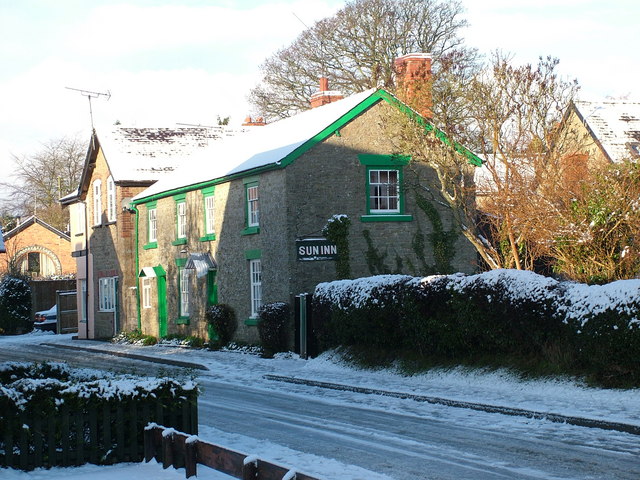
Sun Inn

The Sun Inn is a Grade II listed, parlour pub in Leintwardine, Herefordshire, England.It is on the Campaign for Real Ale's National Inventory of Historic...

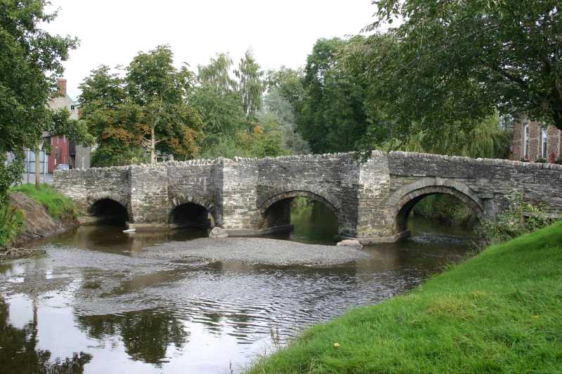
River Clun, Shropshire

The River Clun runs mostly through Shropshire, England and joins the River Teme at Leintwardine, Herefordshire. The Clun Valley is part of the Shropshire...

Adforton

Adforton is a small village and a civil parish in north Herefordshire, England. It is on the A4110 main road approximately 22 miles (35 km) north of Hereford...

Leintwardine

Leintwardine ( LENT-wər-dyne) is a small to mid-size village and civil parish in north Herefordshire, England, close to the border with Shropshire. �...

Buckton Roman Fort

Buckton Roman Fort is an archaeological site at Buckton, about 1 mile south-west of Leintwardine, in Herefordshire. England. it is a scheduled monument...

Nearby Amenities

Located within 500m of 52.347,-2.873
Man Made: manhole
Manhole: water
Pipeline: inspection chamber
Lat/Long: 52.3453737/-2.8774456
Man Made: manhole
Manhole: water
Pipeline: inspection chamber
Lat/Long: 52.3461295/-2.869711
Man Made: manhole
Manhole: water
Pipeline: inspection chamber
Lat/Long: 52.3453877/-2.8773017
The data included in this document is from www.openstreetmap.org. The data is made available under ODbL.

Have you been to Brandon Camp?

Leave your review of Brandon Camp below (or comments, questions and feedback).