Bose Low
Heritage Site in Derbyshire
England
Bose Low
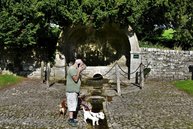
Bose Low is a renowned heritage site located in the county of Derbyshire, England. It is situated in the Peak District National Park, near the picturesque village of Hartington. Bose Low holds great historical significance and is recognized as a Scheduled Monument.
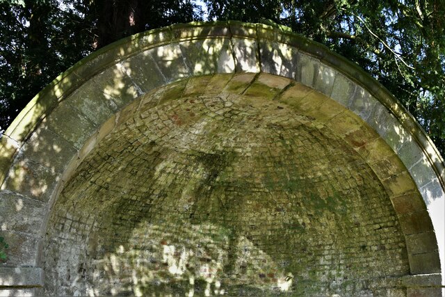
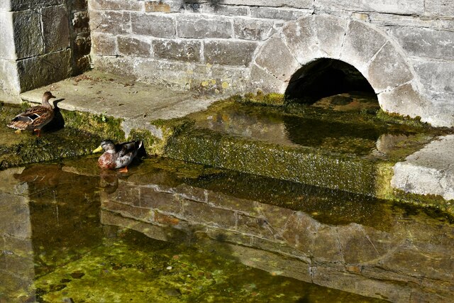
This ancient site is home to an impressive Bronze Age barrow, or burial mound, dating back to approximately 2000 BCE. The barrow is a circular earthwork structure, measuring around 25 meters in diameter and 2 meters in height. It is surrounded by a surrounding ditch, which further adds to its archaeological importance.
The barrow at Bose Low is believed to have been constructed as a burial mound for important individuals or high-ranking members of the community during the Bronze Age. Excavations carried out in the early 20th century uncovered a cremation burial within the mound, along with several pottery fragments and other artifacts. These findings provide valuable insights into the burial practices and rituals of the Bronze Age inhabitants of the region.
Visitors to Bose Low can explore the site and marvel at its ancient construction and historical significance. The barrow is easily accessible, with a footpath leading visitors from the nearby road to the site. Information panels are present, providing visitors with details about the monument's history and significance.
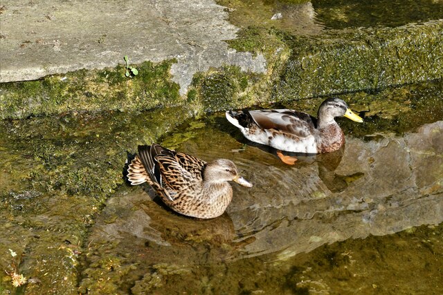
Bose Low offers a fascinating glimpse into the rich heritage of Derbyshire and serves as a testament to the ancient civilizations that once thrived in the area. It attracts both history enthusiasts and nature lovers, as it is surrounded by the stunning natural beauty of the Peak District National Park.
If you have any feedback on the listing, please let us know in the comments section below.
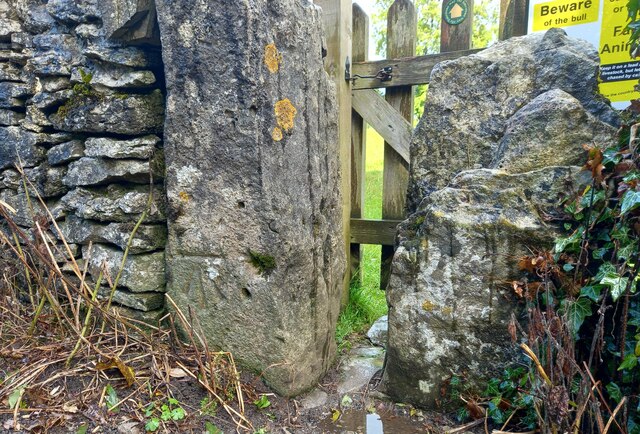
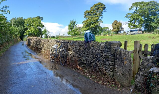
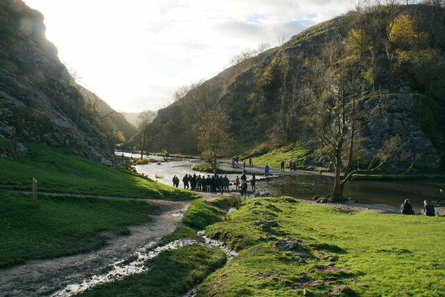
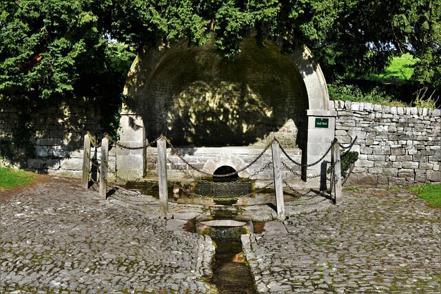
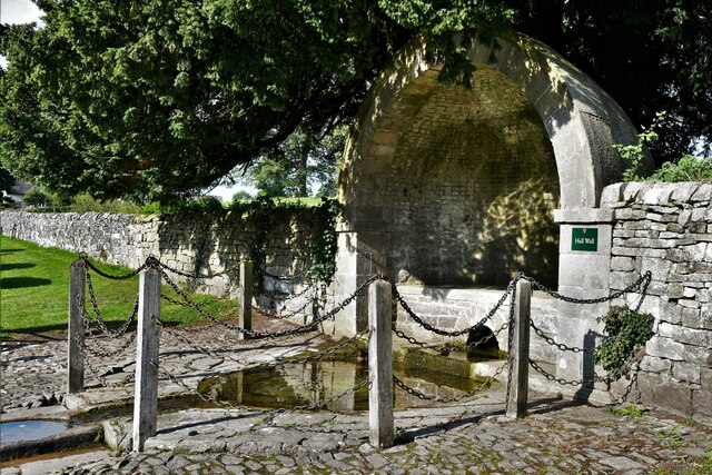
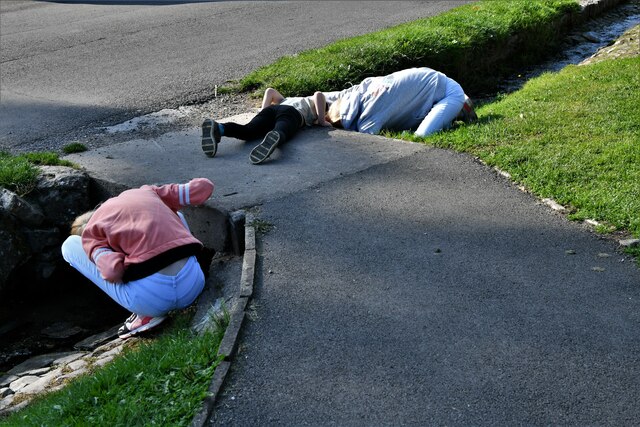
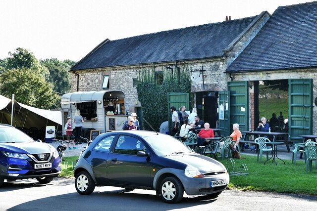
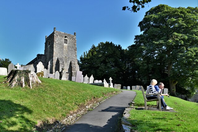
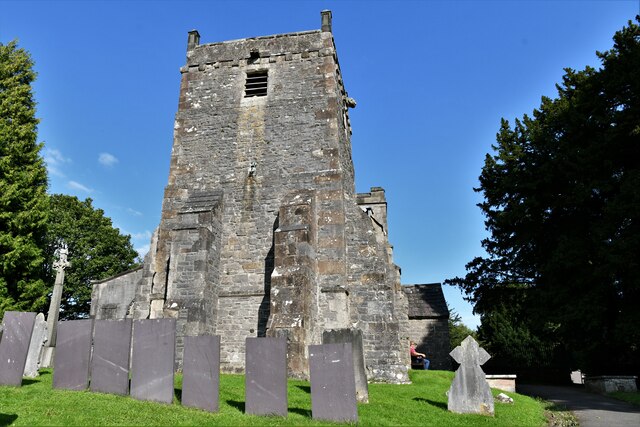
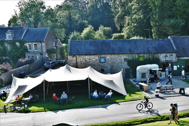
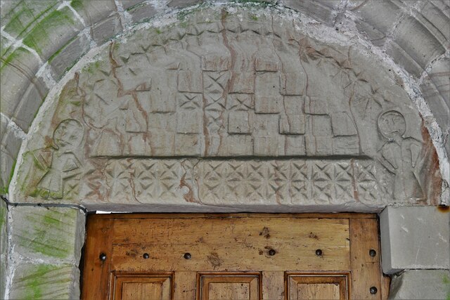
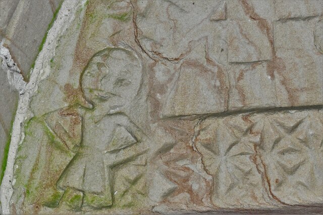
Bose Low Images
Images are sourced within 2km of 53.07/-1.753 or Grid Reference SK1652. Thanks to Geograph Open Source API. All images are credited.


Bose Low is located at Grid Ref: SK1652 (Lat: 53.07, Lng: -1.753)
What 3 Words
///cuts.native.bounding. Near Ashbourne, Derbyshire
Nearby Locations
Related Wikis

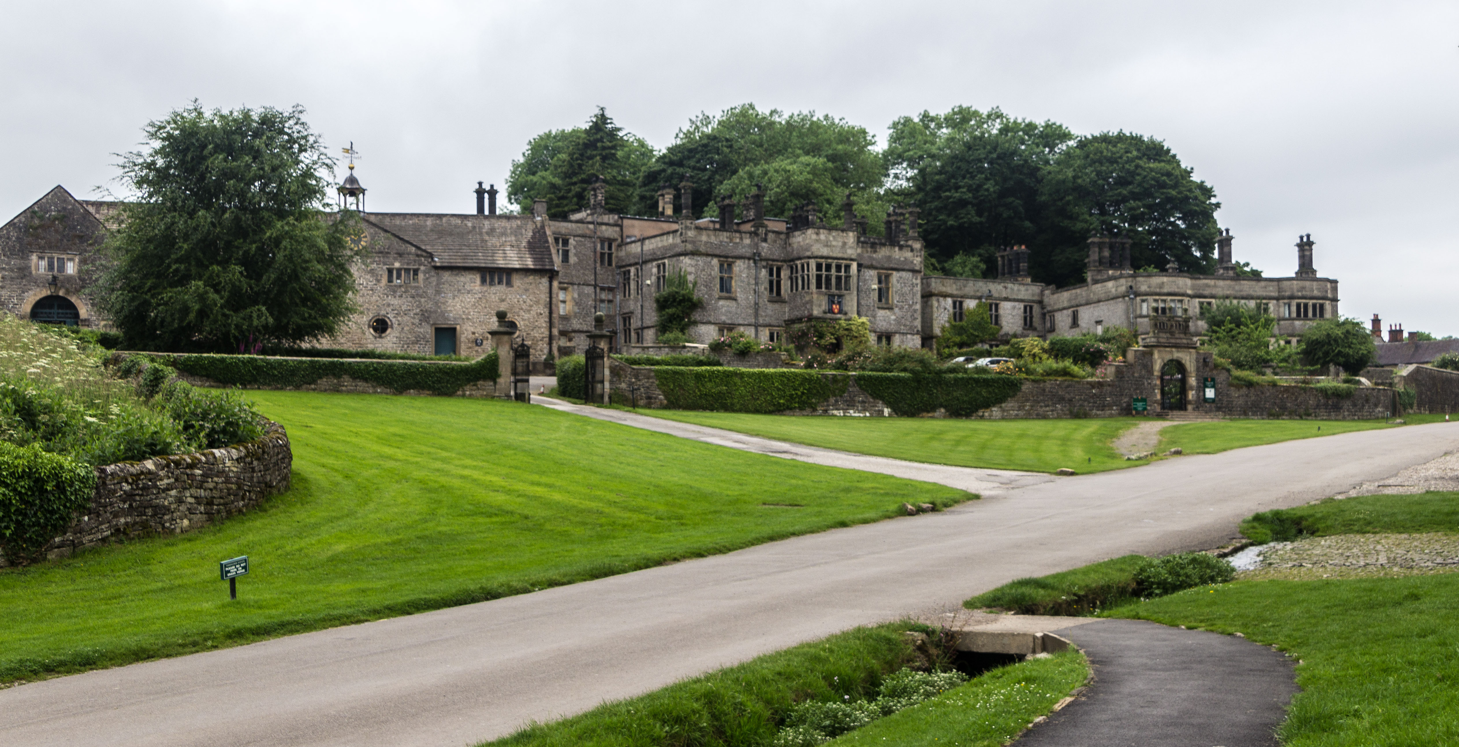
Tissington Hall
Tissington Hall is an early 17th-century Jacobean mansion house in Tissington, near Ashbourne, Derbyshire. It is a Grade II* listed building. The FitzHerberts...

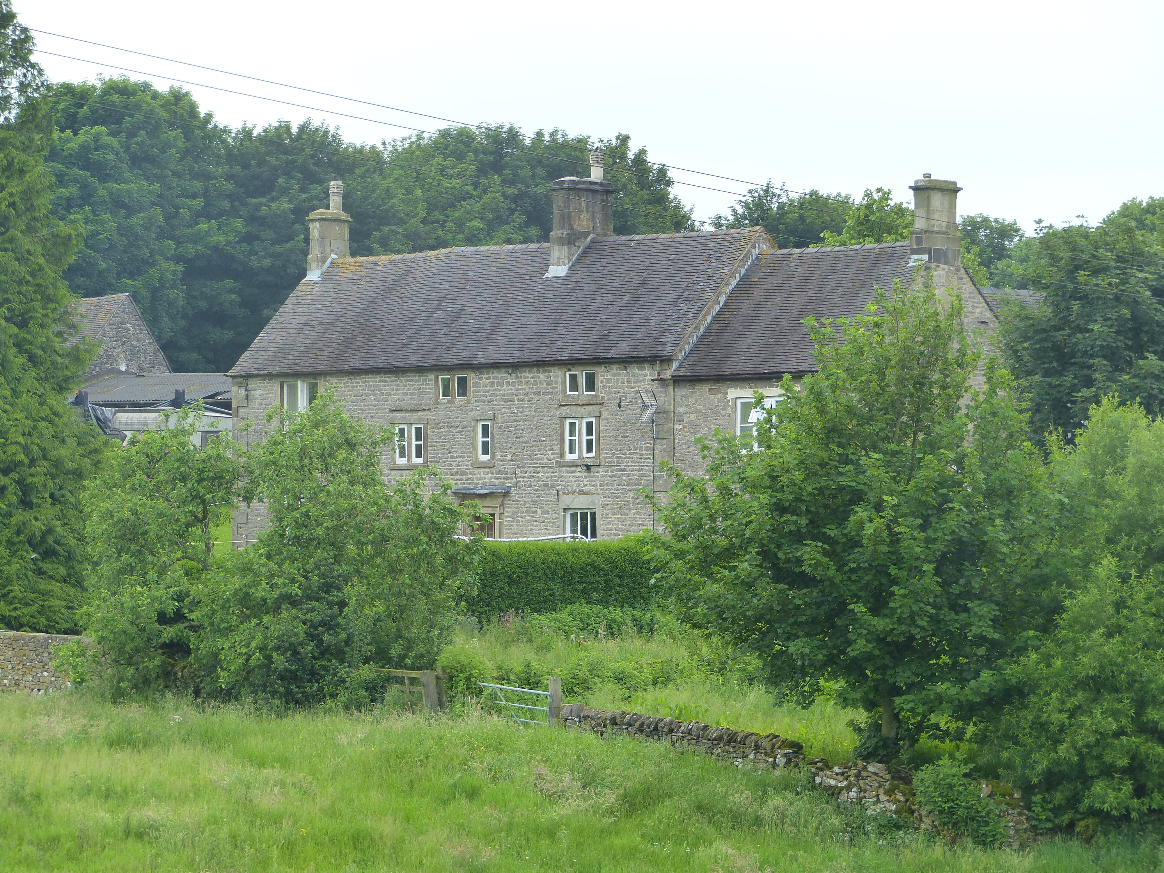
Tissington
Tissington is a village and former civil parish, now in the parish of Tissington and Lea Hall, in the Derbyshire Dales district of Derbyshire, England...
Tissington and Lea Hall
Tissington and Lea Hall is a civil parish within the Derbyshire Dales district, which is in the county of Derbyshire, England. Named for its settlements...

St Mary's Church, Tissington
St Mary’s Church, Tissington is a Grade II* listed parish church in the Church of England in Tissington, Derbyshire. == History == The church dates from...
Newton Grange, Derbyshire
Newton Grange is a civil parish in the Derbyshire Dales district of central Derbyshire. For administrative purposes it shares a parish council with the...

Ashbourne line
The Ashbourne line was a 33+1⁄2 mi (53.9 km) railway from Buxton via Ashbourne to Uttoxeter. It was built by the London and North Western Railway using...

Tissington railway station
Tissington railway station is a disused British railway station near Tissington (grid reference SK177521), a village in Derbyshire near Ashbourne. It...
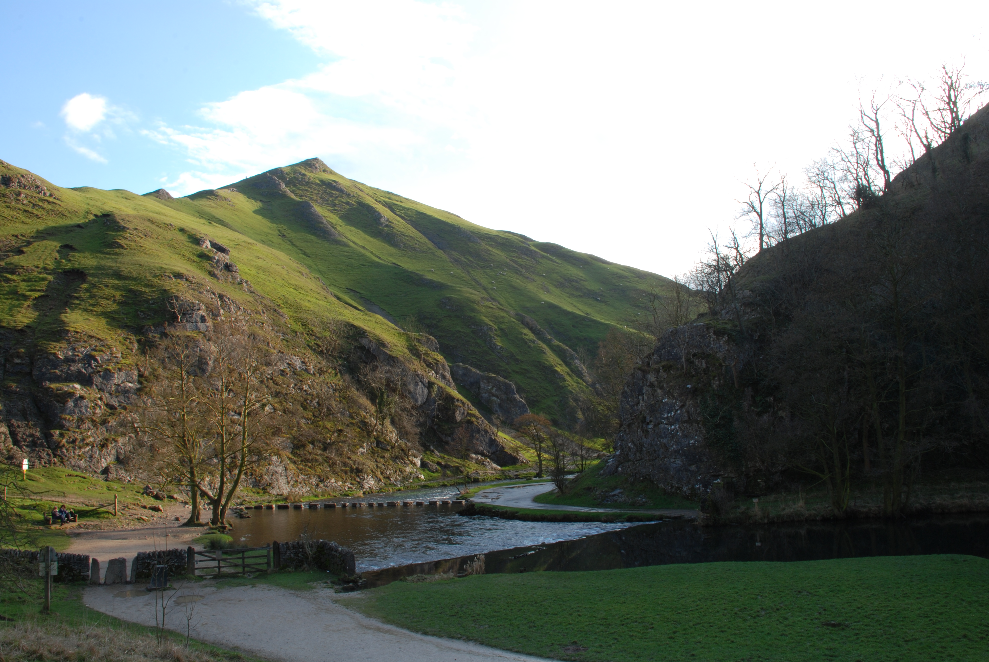
Dovedale
Dovedale is a valley in the Peak District of England. The land is owned by the National Trust and attracts a million visitors annually. The valley was...
Nearby Amenities
Located within 500m of 53.07,-1.753Have you been to Bose Low?
Leave your review of Bose Low below (or comments, questions and feedback).