Bonsall Mines
Heritage Site in Derbyshire
England
Bonsall Mines

Bonsall Mines, located in Derbyshire, England, is a renowned heritage site that offers visitors a fascinating glimpse into the region's rich mining history. Situated in the picturesque village of Bonsall, the mines have been a prominent feature of the area since the Roman period.
The mines are well-preserved and consist of a network of tunnels and shafts that were primarily used for lead mining. Lead has been mined in the region for over two thousand years, with the industry reaching its peak during the 18th and 19th centuries. At its height, Bonsall Mines employed hundreds of workers and produced significant quantities of lead ore.
Today, the mines serve as a popular tourist attraction and are managed by the Bonsall Village History Group. Visitors can explore the underground passages, guided by knowledgeable volunteers who provide insights into the mining techniques employed throughout history. The tunnels showcase various mining methods, including traditional pick-and-shovel techniques, as well as more advanced practices like explosives.
Additionally, the site features exhibits displaying tools, equipment, and artifacts related to lead mining. Visitors can learn about the lives of miners, the challenges they faced, and the impact of the industry on the local community. The heritage site also offers educational programs, allowing schools and groups to delve deeper into the history and geology of the area.
Bonsall Mines, with its well-preserved tunnels and informative displays, is a remarkable testament to the industrial heritage of Derbyshire and offers visitors a unique opportunity to explore the underground world of lead mining.
If you have any feedback on the listing, please let us know in the comments section below.
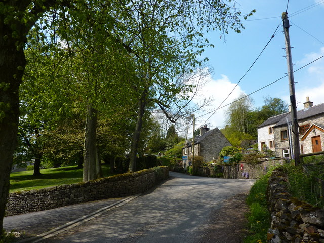
Bonsall Mines Images
Images are sourced within 2km of 53.113/-1.603 or Grid Reference SK2657. Thanks to Geograph Open Source API. All images are credited.


Bonsall Mines is located at Grid Ref: SK2657 (Lat: 53.113, Lng: -1.603)
What 3 Words
///clustered.dislikes.fight. Near Cromford, Derbyshire
Nearby Locations
Related Wikis
Slaley, Derbyshire
Slaley is a hamlet in the civil parish of Bonsall, in the Derbyshire Dales district, in the county of Derbyshire, England. The hamlet is located to the...
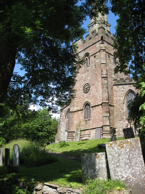
St James the Apostle's Church, Bonsall
St James the Apostle's Church, Bonsall is a Grade II* listed parish church in the Church of England: 101 in Bonsall, Derbyshire. == History == The church...

Bonsall, Derbyshire
Bonsall is a village and civil parish in the Derbyshire Dales on the edge of the Peak District. The civil parish population, including Brightgate and Horse...

Middleton-by-Wirksworth
Middleton or Middleton-by-Wirksworth is an upland village and civil parish lying approximately one mile NNW of Wirksworth, Derbyshire, England. Middleton...

Ible
Ible (pronounced 'eyebull', or 'ib-ull') is a hamlet in Derbyshire, England, just within the Peak District National Park.It is near the Via Gellia valley...
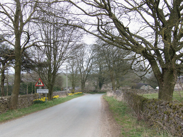
Brightgate
Brightgate is a village in Derbyshire, England. The population is recorded in the civil parish of Bonsall, Derbyshire. == References ==

Beans and Bacon mine
The Beans and Bacon mine is a disused lead mine on Bonsall Moor near the village of Bonsall, Derbyshire, United Kingdom. The nearest large town is Matlock...

Grangemill
Grangemill is a village in the English county of Derbyshire. The hamlet is made up of a cluster of houses, a farm and a pub called the Hollybush. There...
Nearby Amenities
Located within 500m of 53.113,-1.603Have you been to Bonsall Mines?
Leave your review of Bonsall Mines below (or comments, questions and feedback).