Bodwrdda
Heritage Site in Caernarfonshire
Wales
Bodwrdda
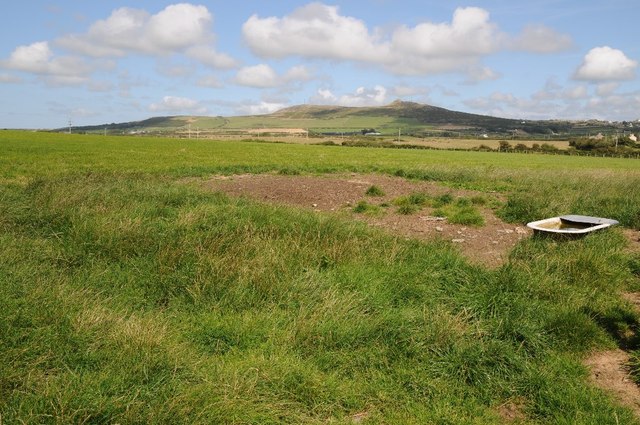
Bodwrdda, located in Caernarfonshire, is a significant heritage site in Wales. This historic location holds immense cultural and historical value, attracting visitors from all over the world. Bodwrdda is situated in a picturesque rural setting, surrounded by lush green fields and rolling hills.
The main highlight of Bodwrdda is its ancient stone circle, which dates back to the late Neolithic period. This well-preserved circle consists of thirteen standing stones, arranged in a circular formation. The stones are believed to have been erected around 3000 BC, making them over 5,000 years old. Each stone is unique in shape and size, adding to the mystique of the site.
Archaeologists have conducted extensive research at Bodwrdda, uncovering various artifacts and evidence of human activity throughout the ages. Excavations have revealed pottery fragments, flint tools, and animal bones, providing valuable insights into the daily life and practices of the ancient inhabitants.
Visitors to Bodwrdda can explore the site and learn about its historical significance through informational displays and guided tours. The stunning natural surroundings offer a serene atmosphere for those interested in meditation or simply enjoying the beauty of the landscape.
Bodwrdda's rich history and breathtaking scenery make it a must-visit destination for anyone interested in ancient civilizations and the wonders of the natural world. The site provides a fascinating glimpse into the lives of our ancestors and a deep appreciation for the enduring legacy they have left behind.
If you have any feedback on the listing, please let us know in the comments section below.
Bodwrdda Images
Images are sourced within 2km of 52.813/-4.693 or Grid Reference SH1827. Thanks to Geograph Open Source API. All images are credited.
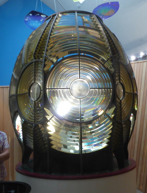
![Porth y Swnt Interpretation Centre Owned by the National Trust. Its prize exhibit is the old [redundant] optic from the lighthouse on Ynys Enlli.](https://s1.geograph.org.uk/geophotos/04/73/90/4739049_adf0a91c.jpg)

Bodwrdda is located at Grid Ref: SH1827 (Lat: 52.813, Lng: -4.693)
What 3 Words
///manicured.pipeline.uptown. Near Nefyn, Gwynedd
Nearby Locations
Related Wikis

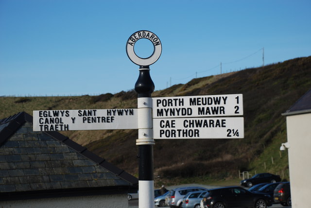
Aberdaron
Aberdaron (Welsh pronunciation: [abɛrˈdarɔn]) is a community, electoral ward and former fishing village at the western tip of the Llŷn Peninsula in the...

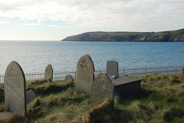
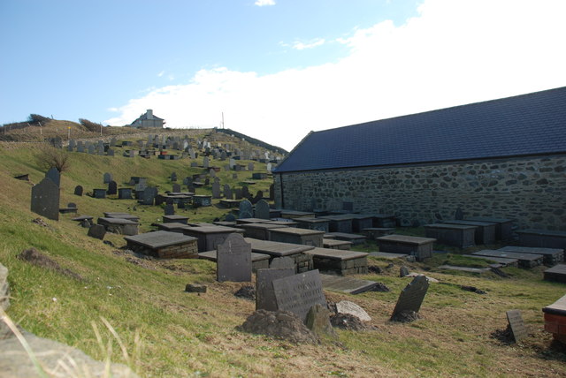
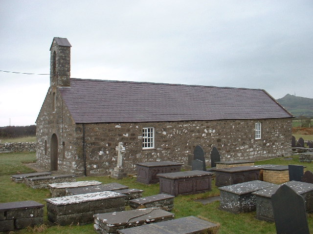
St Hywyn's Church, Aberdaron
The Church of St Hywyn, Aberdaron, Gwynedd, Wales, is a parish church dating from the 12th century. Its origins are earlier, as a clas church from the...
Llanfaelrhys
Llanfaelrhys is a village and former civil parish in the Welsh county of Gwynedd, located on the Llŷn Peninsula. The parish was abolished in 1934 and...

Bodferin
Bodferin is a former civil parish in the Welsh county of Gwynedd. It was abolished in 1934, and incorporated into Aberdaron. == References ==
Nearby Amenities
Located within 500m of 52.813,-4.693Have you been to Bodwrdda?
Leave your review of Bodwrdda below (or comments, questions and feedback).